


 Recommend YouTube


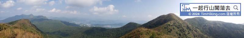
| View : |  | ||
| Difficulty : |  | ||
| Path : | |||
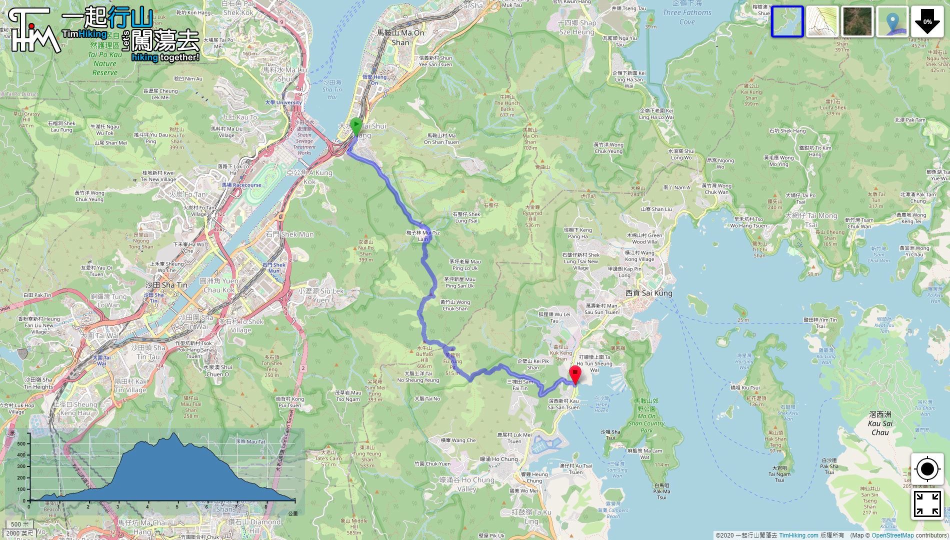
| Length : | 9km | ||
| Time : | 5hours | ||
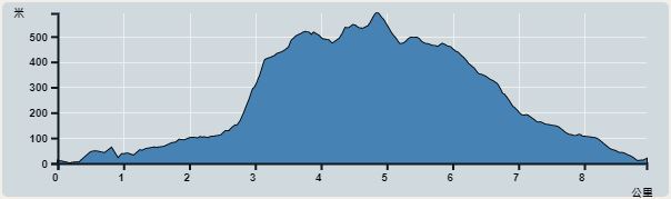 | |
| Ascent : 807m | Descent : 790m |
| Max : 591m | Min : 0m |
| (The accuracy of elevation is +/-30m) | |


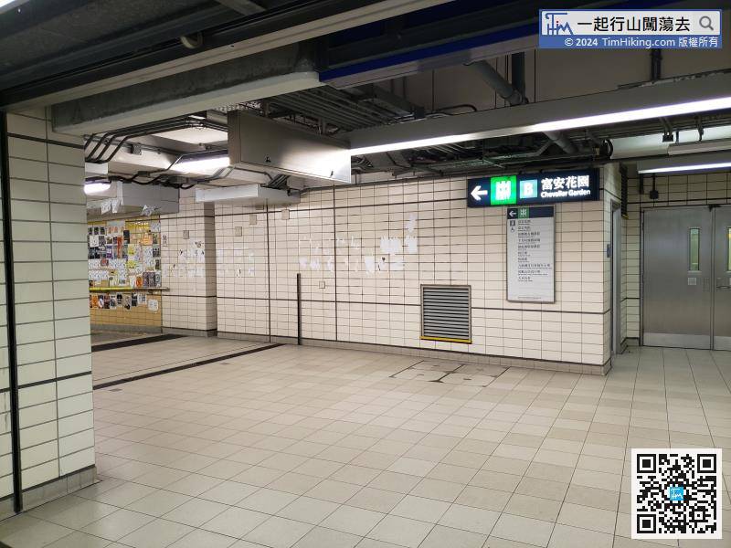
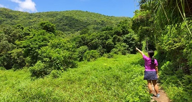
start from Tai Shui Hang Station and leave at Exit B,
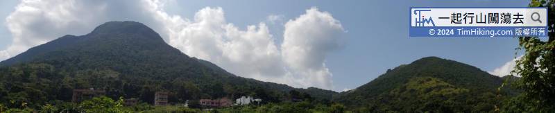
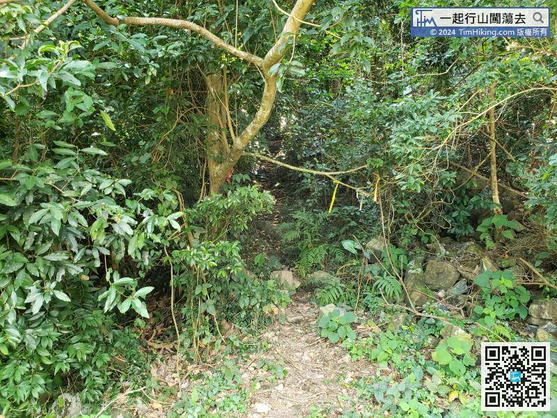
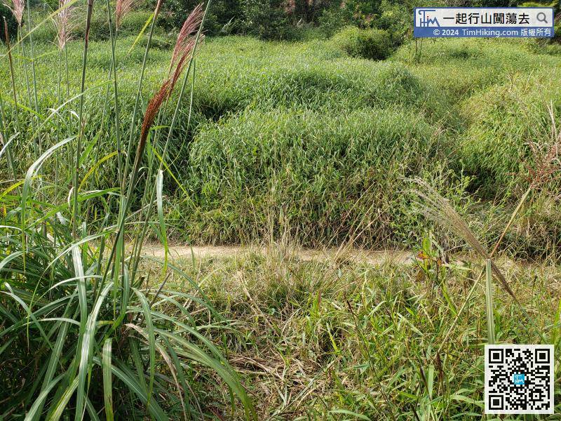
The entrance to the north ridge of Shek Nga Shan is next to the big tree. The intersection is covered with ribbons, which is easy to distinguish.
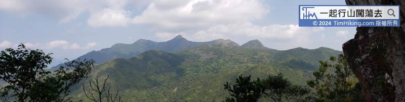
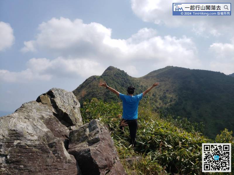
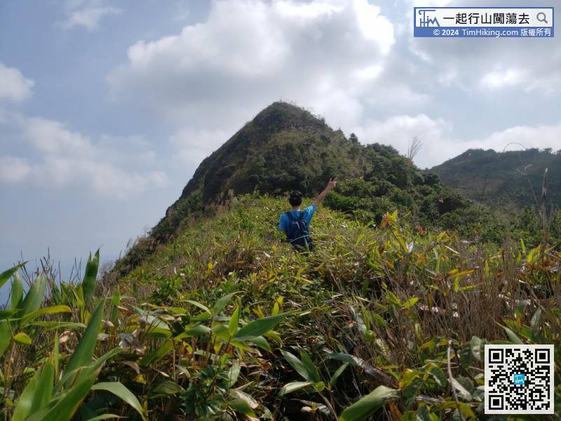
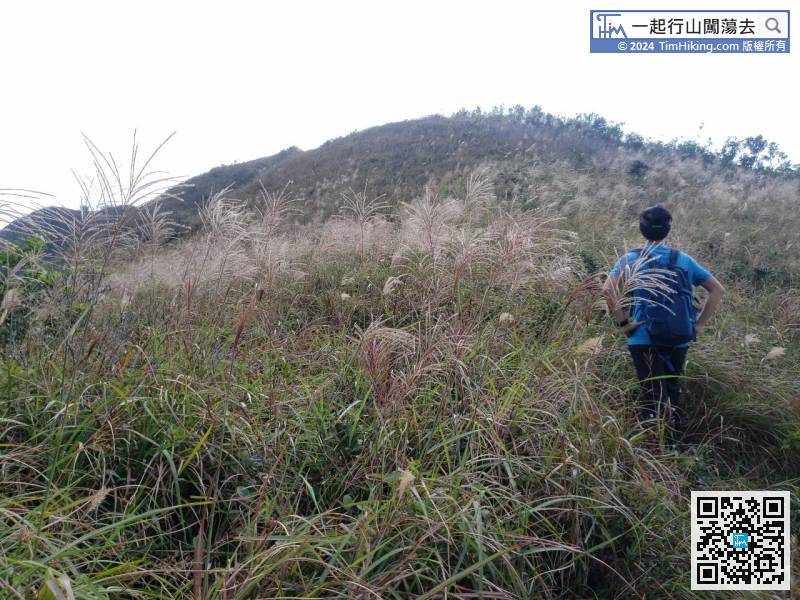
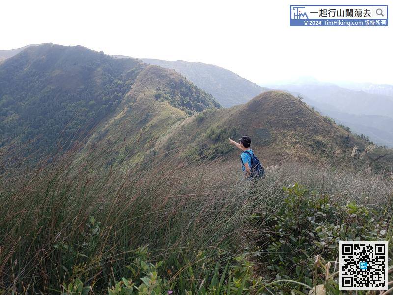
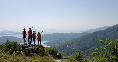
Next, have to climb the Second and Third Tooth,
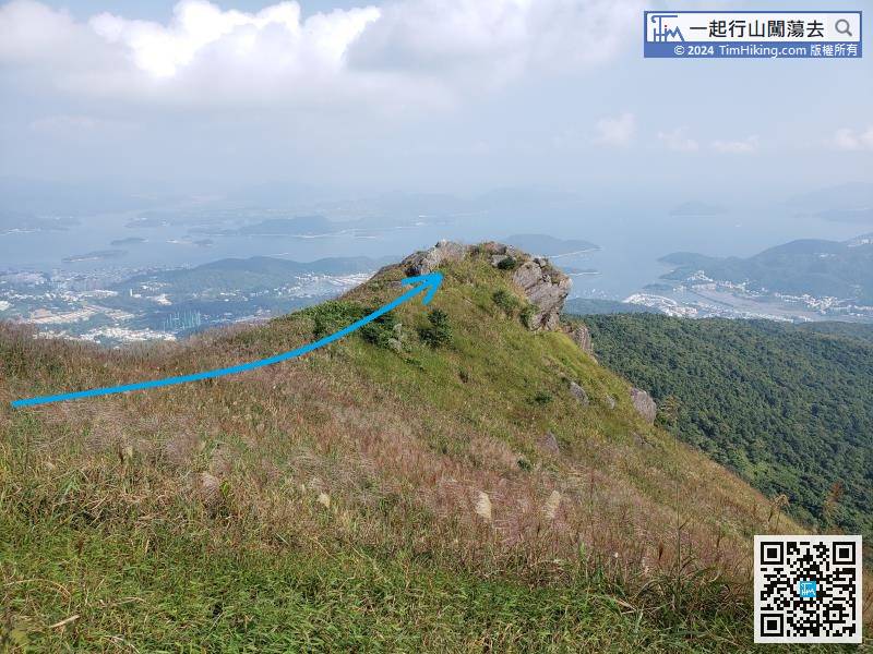
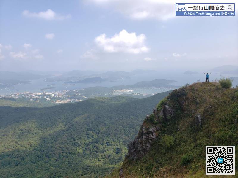
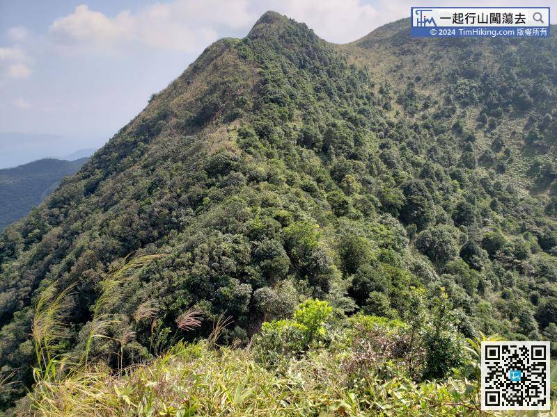
There is a cliff on the left-hand side of Buffalo Hill.


