


 Recommend YouTube


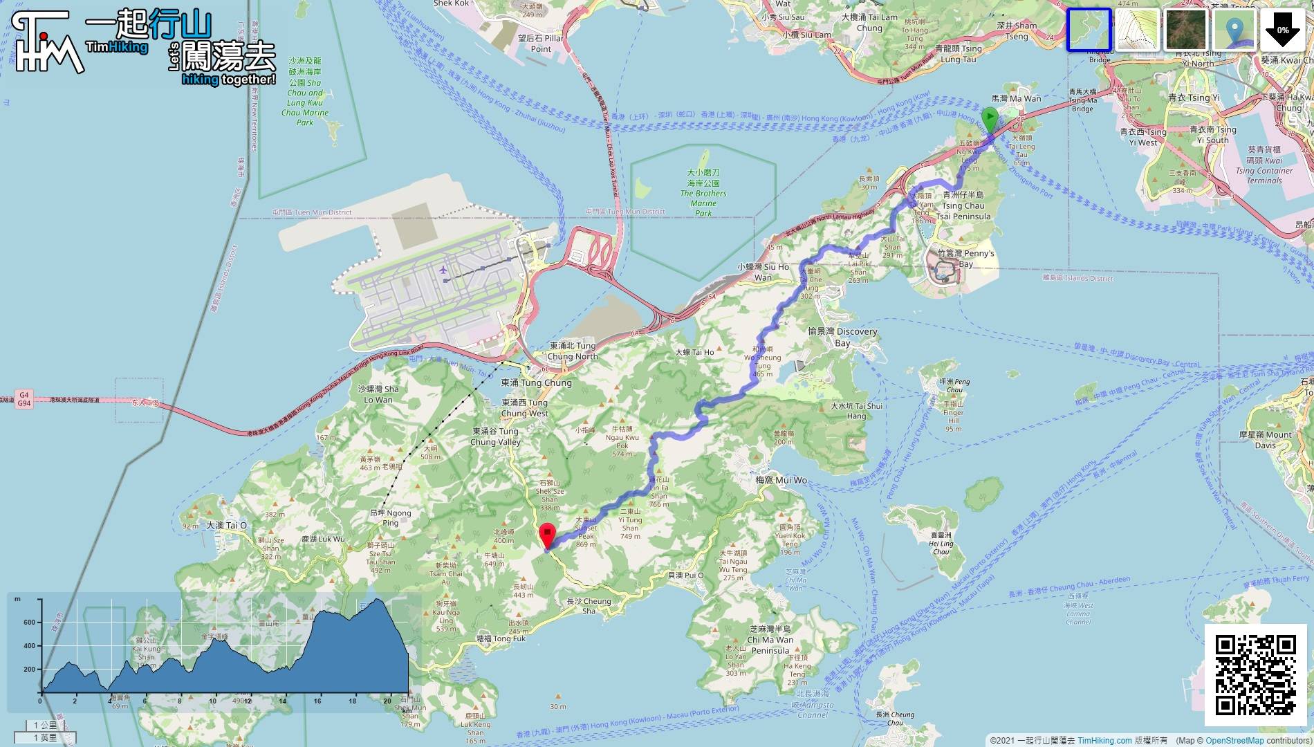
| View : |  | ||
| Difficulty : |  | ||
| Path : | |||
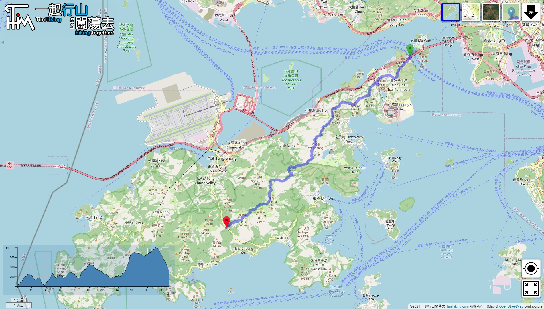
| Length : | 21.1km | ||
| Time : | 8½hours | ||
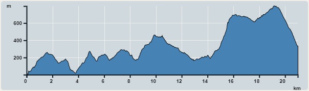 | |
| Ascent : 2,105m | Descent : 1,773m |
| Max : 797m | Min : 0m |
| (The accuracy of elevation is +/-30m) | |


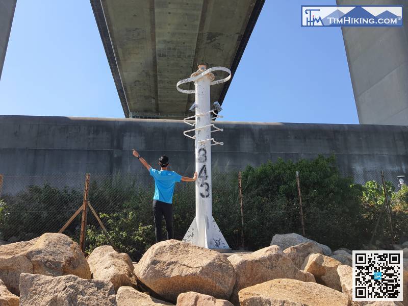
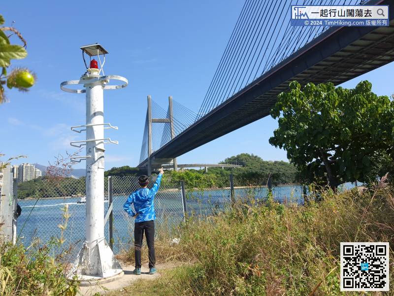
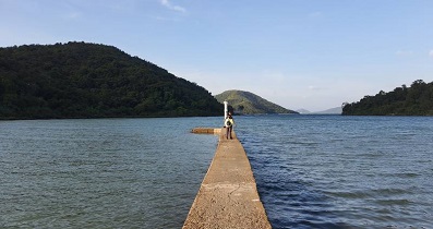
 6︰will find the starting point of Lighthouse No.344 on the right-hand side.
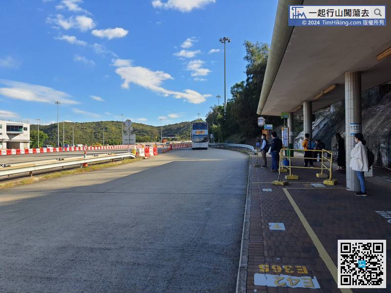
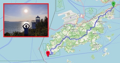
First of all, take a bus to Lantau Link Bus-Bus Interchange and get off. You can take Line E and Line A or even Line N. Of course, the sooner the better.
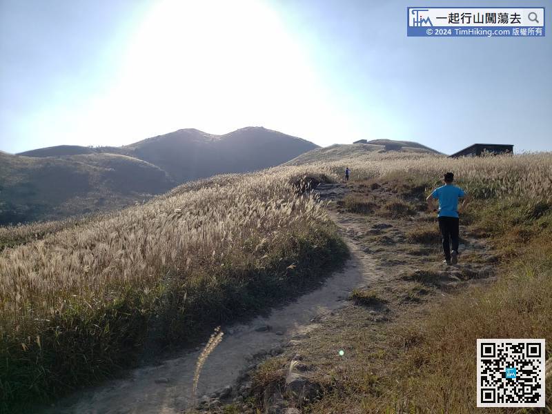
28︰On the left side of the bifurcation is the road to Fa Peng Rock. Keep to the right into the narrow barren trail,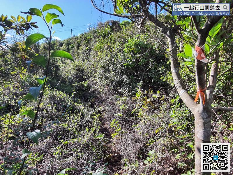
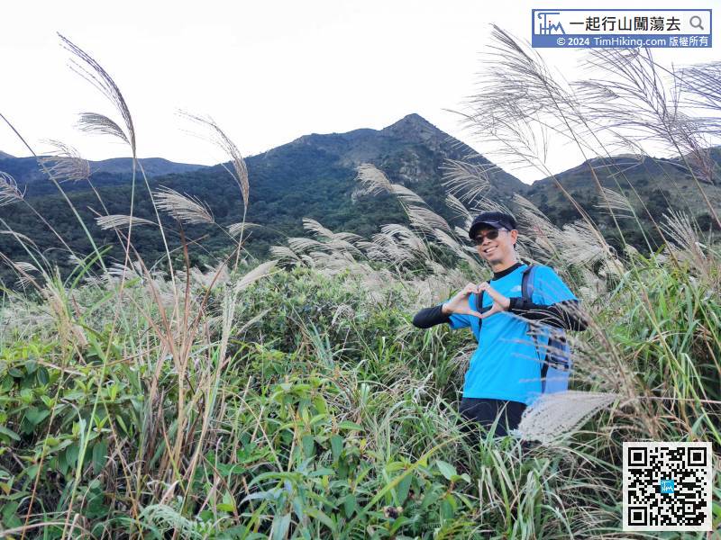
The mountain trail is guided by a ribbon, and the grass is a bit dense,
34︰and then follow the ribbon to the right and go around the mountainside.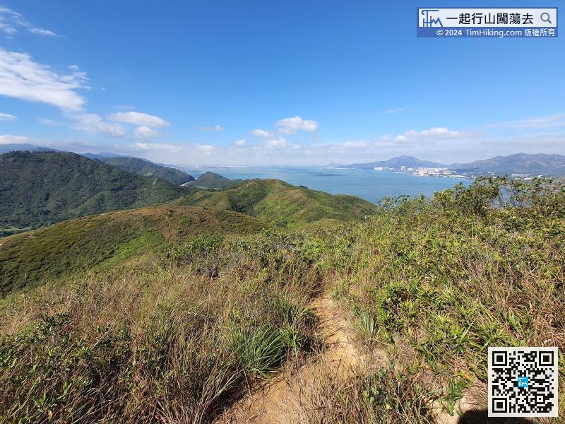 49︰then enter the barbed wire next to the white building,
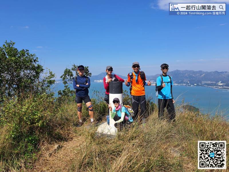
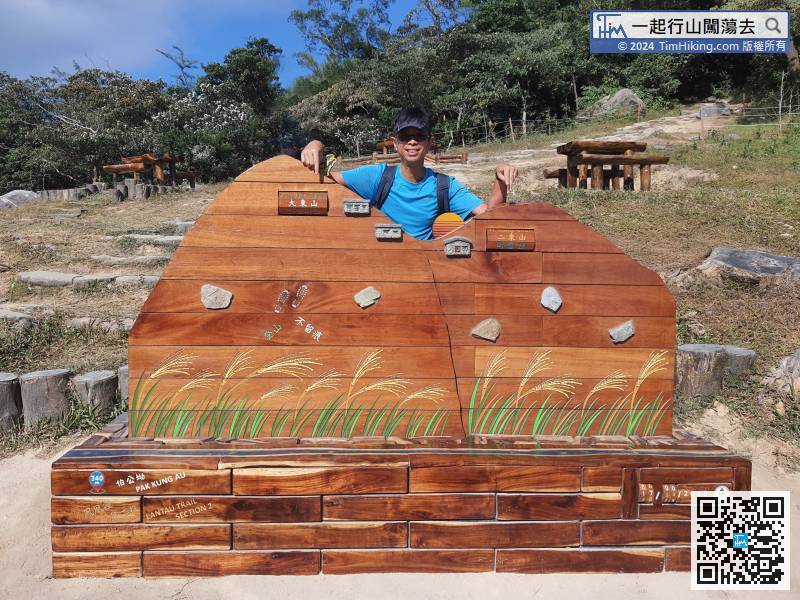
 69︰will arrive at Sam Pak Au,
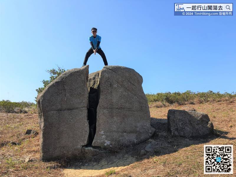
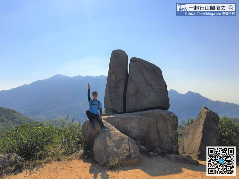
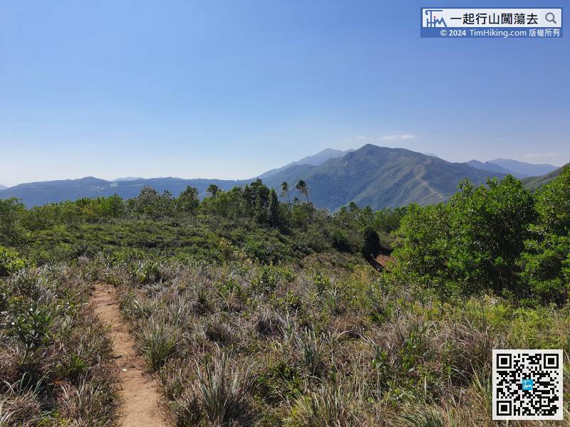 92︰one of the most eye-catching is Testing Sword Rock.
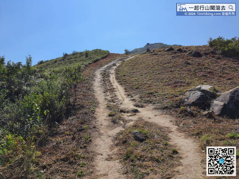 105︰and there is another Testing Sword Rock below.
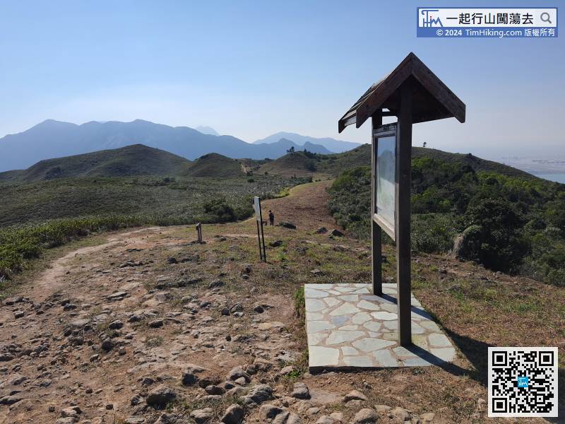 113︰After the short break and lunch, go uphill immediately from the barren trail opposite the wooden pavilion, which is also on the right-hand side of the sign.
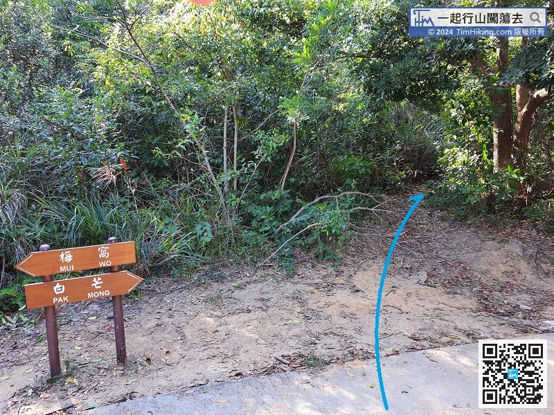
After the short break and lunch, go uphill immediately from the barren trail opposite the wooden pavilion, which is also on the right-hand side of the sign.
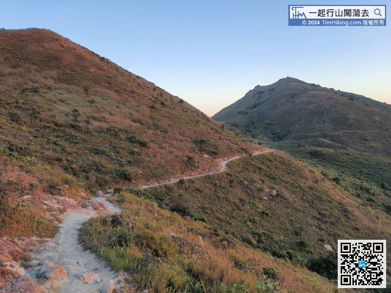
136︰Hikers must look a little farther to find the correct path.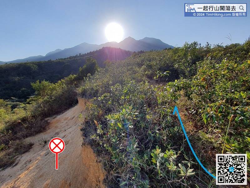
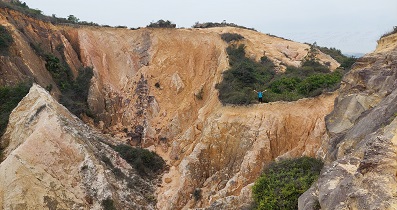
Pay attention to the collapsed location on the left, do not approach, lean on the barren trail on the right,
Next, turn left on the official trail, turn right to Tung Chung next to Por Kai Shan.


