


 YouTube 隨 機 推 介


| 景觀︰ |  | ||
| 難度︰ |  | ||
 (小陰頂) | |||
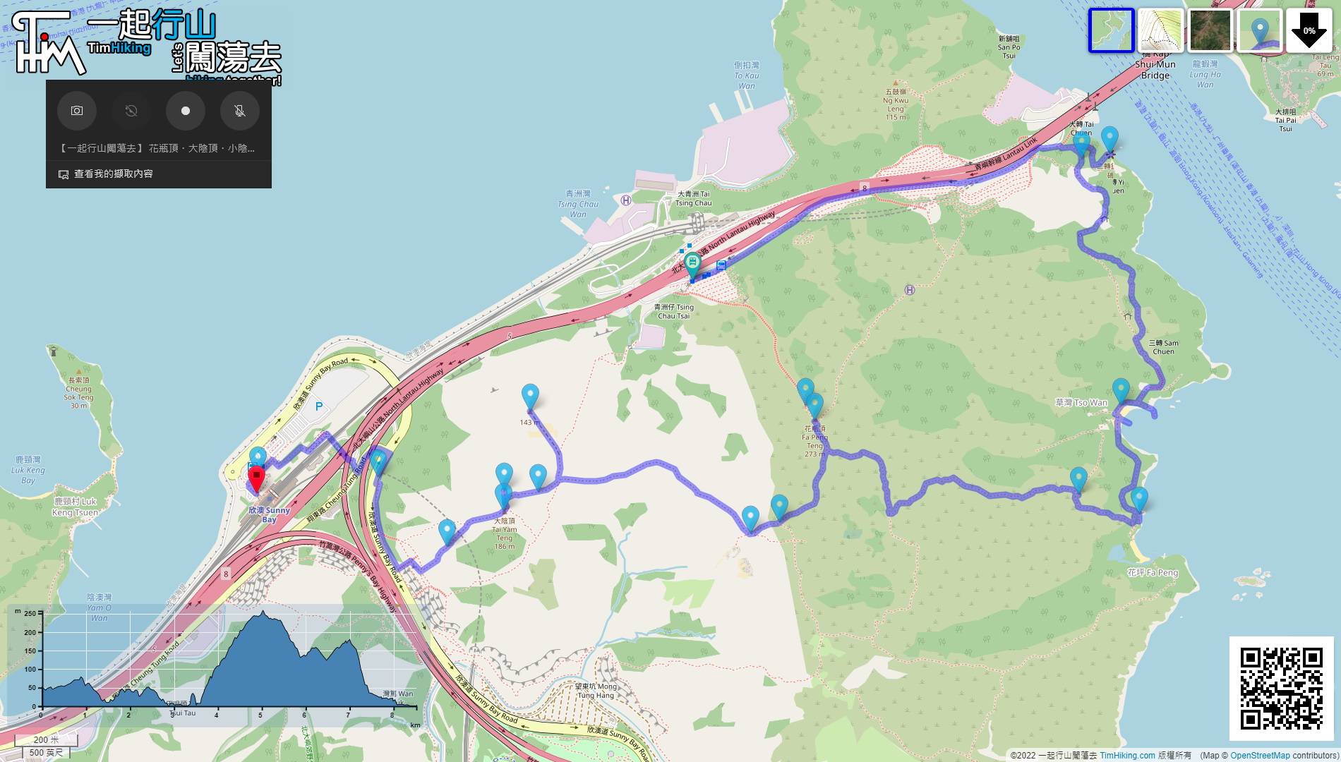
| 路線︰ | |||
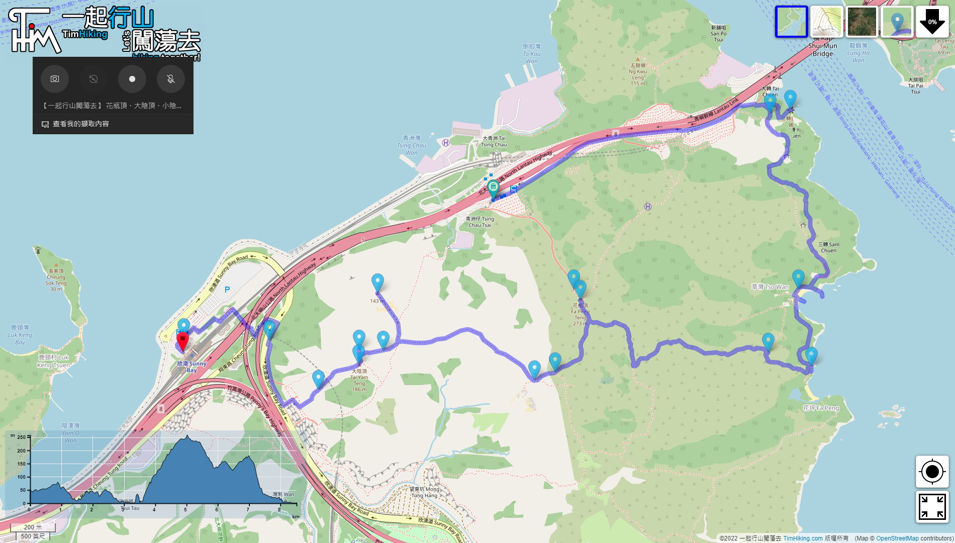
| 全長︰ | 8.6公里 | 需時︰ | 4½小時 |
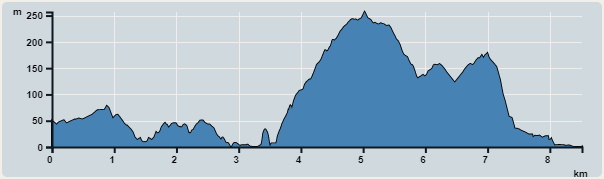 | |
| 攀升︰500米 | 下降︰577米 |
| 最高︰257米 | 最低︰0米 |
| (海拔高度值只供參考 誤差約是30米內) | |


 6︰略過行車隧道口後,
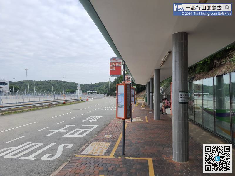
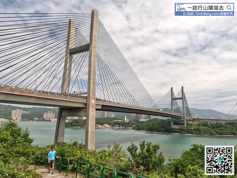
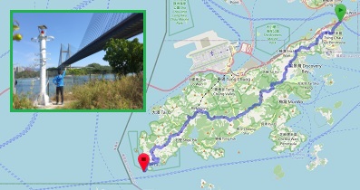
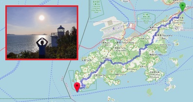
前往起點,只要乘搭任何途經青嶼幹線巴士轉乘站的巴士便可。
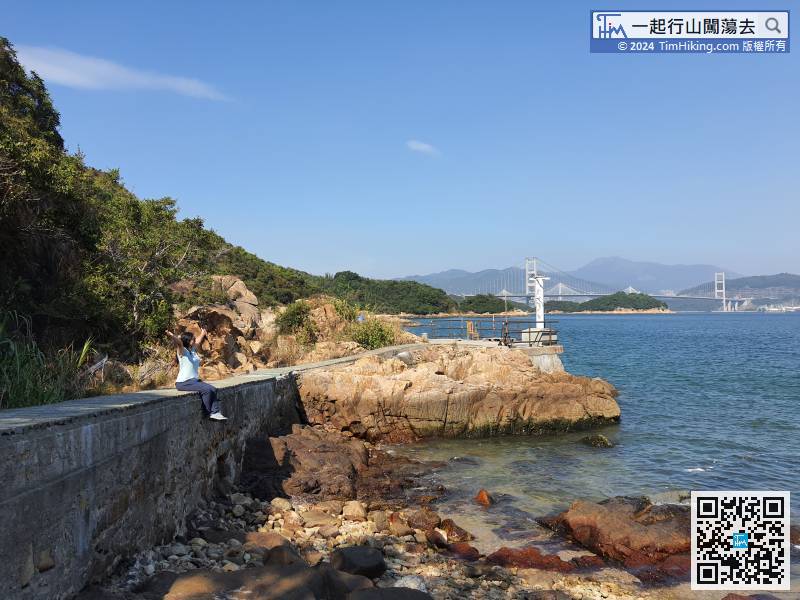
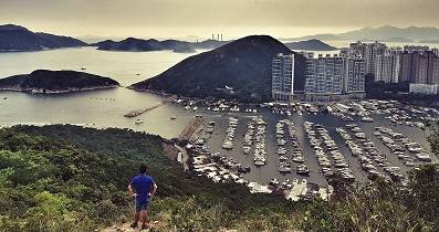
31︰不久回望就有靚景,這是拍攝汲水門大橋的最佳位置,比剛剛那個位置更佳。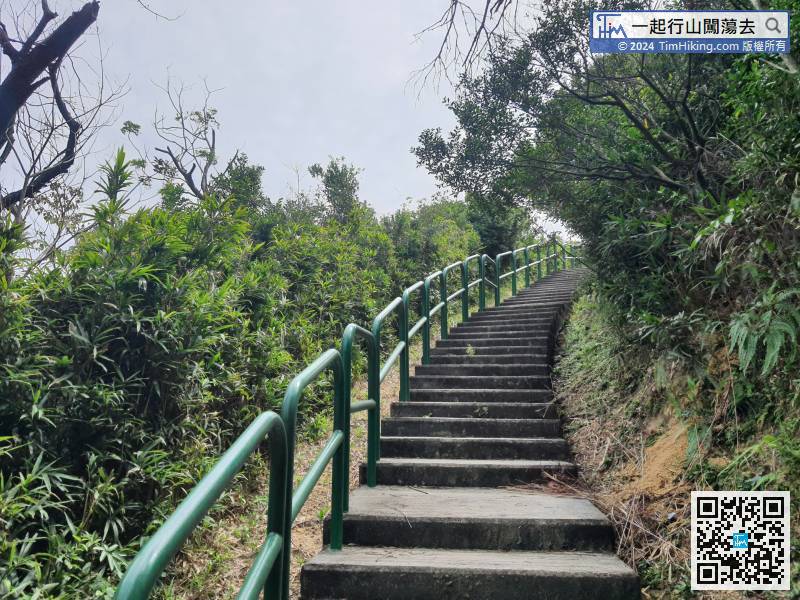 57︰回到路口,留意上山的石屎梯級,
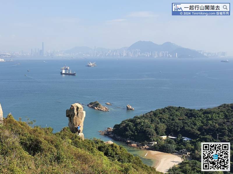
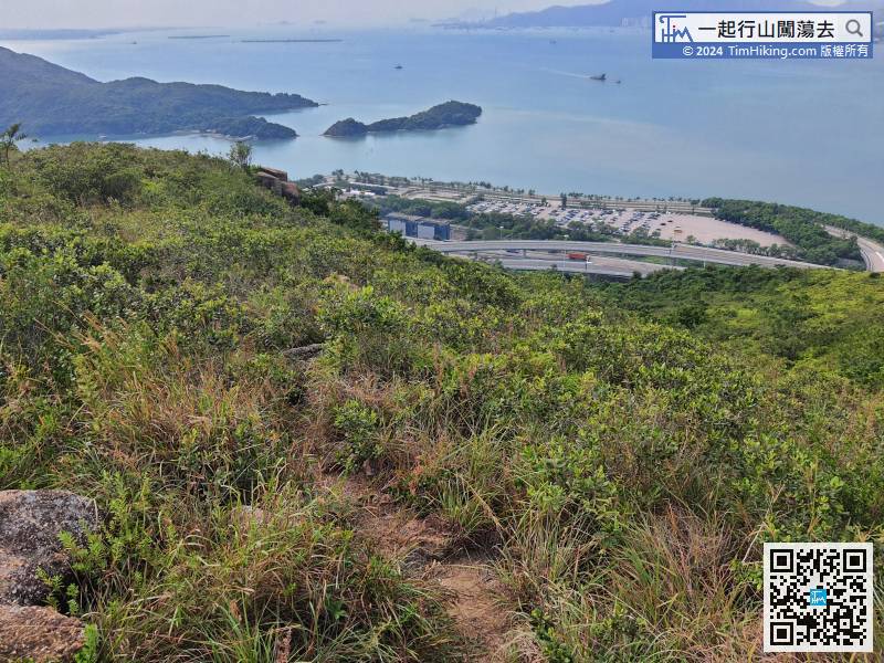
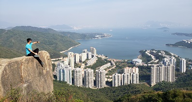
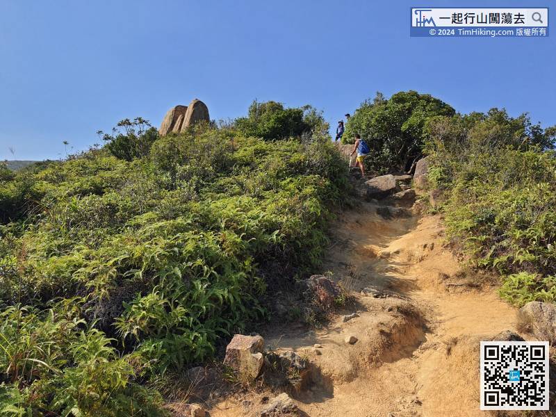 83︰花瓶頂有標高柱,擁360度景觀,
 97︰行到去光禿禿的分叉路口,前方山下就是迪欣湖,
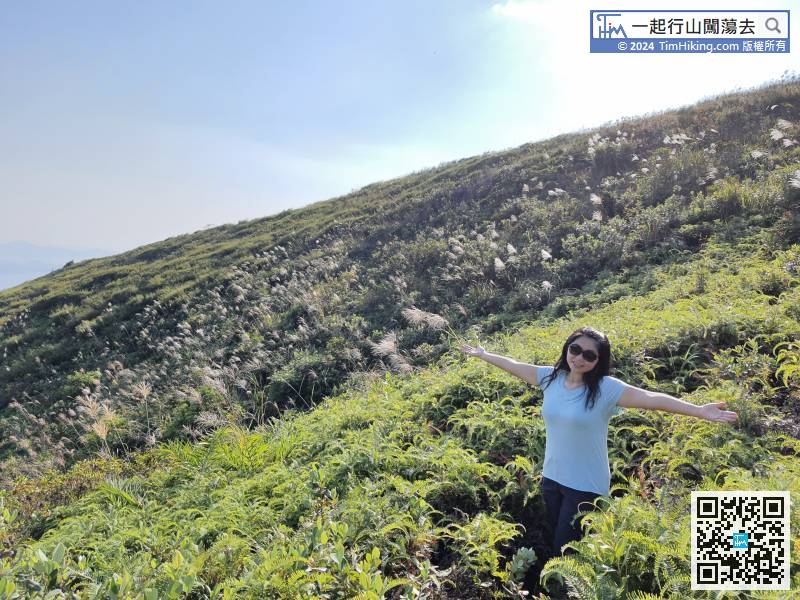
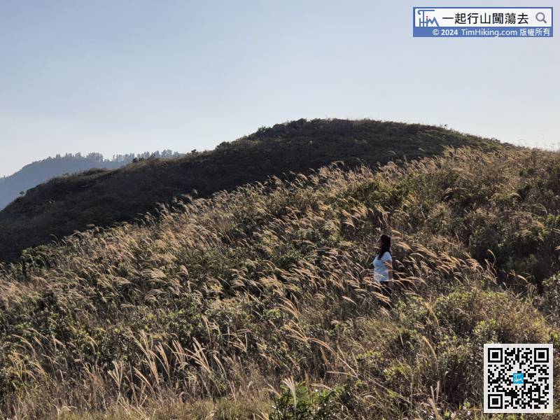
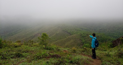
 112︰沿路都有少少芒草,秋冬來行絕對會有驚喜!
 124︰可見到舊標高柱的位置已越來越多草叢滋生,風景其實不及大陰頂,所以看完就當去了是吧!
 146︰只有一舊大石,
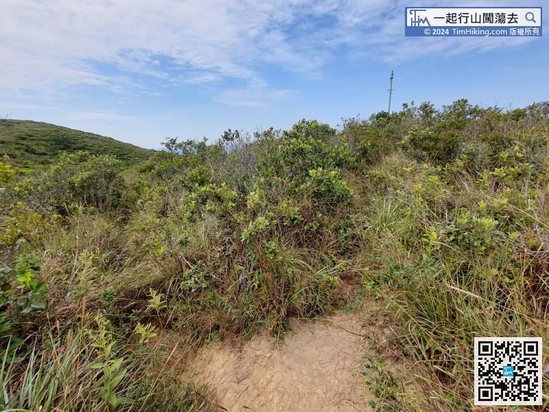
攻頂後沿另一端落山便可,不用原路折返,


