


 Recommend YouTube


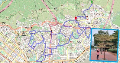
| View : |  | ||
| Difficulty : |  | ||
| Path : | |||
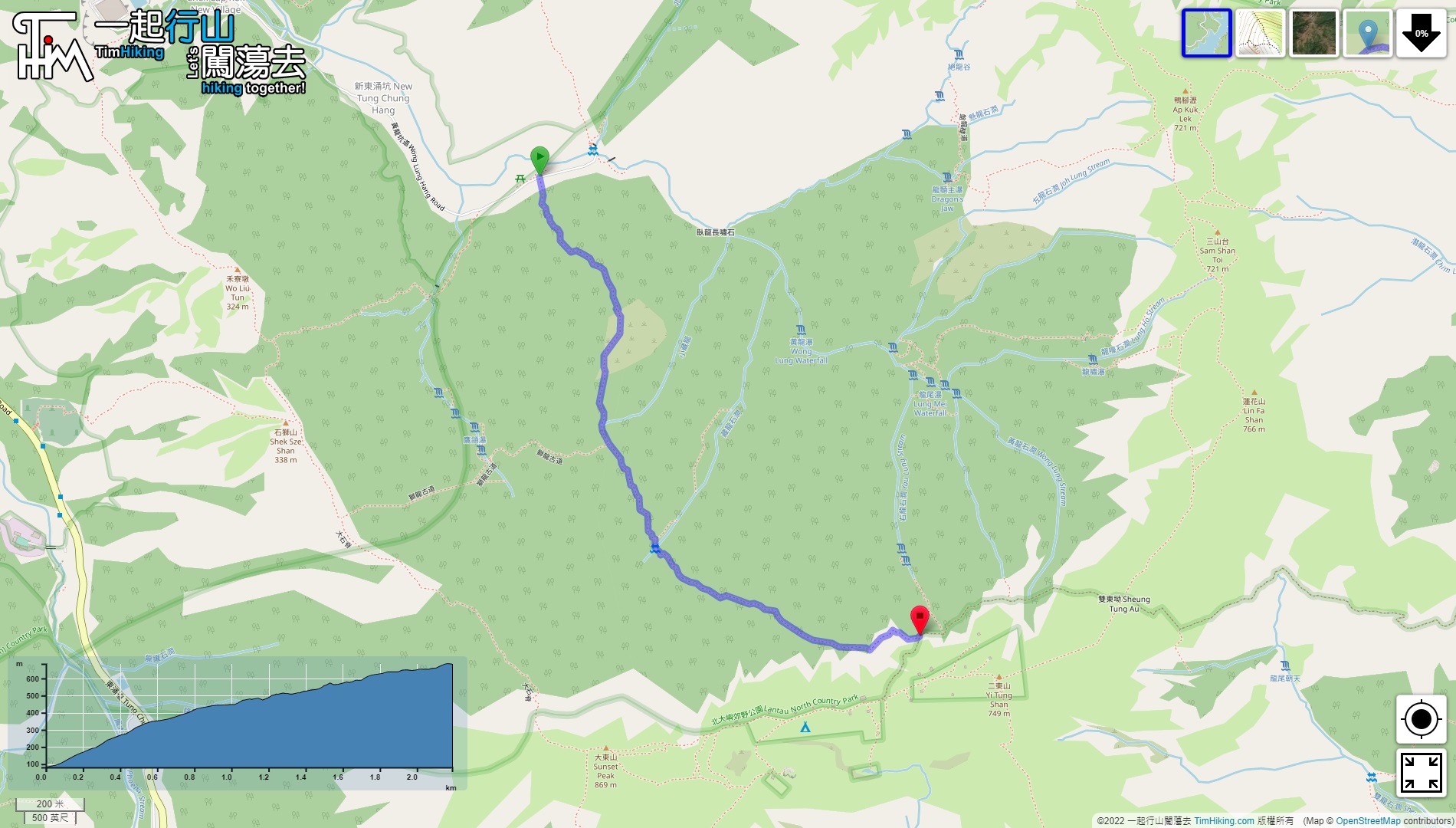
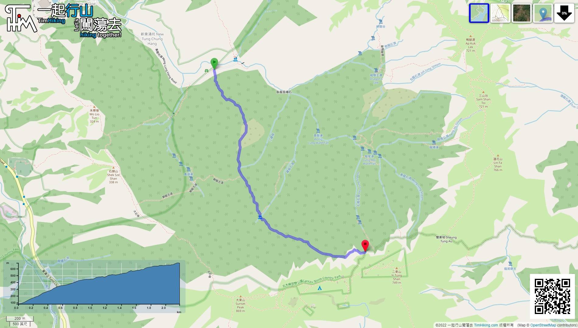
| Length : | 2.2km | ||
| Time : | 1¾hours | ||
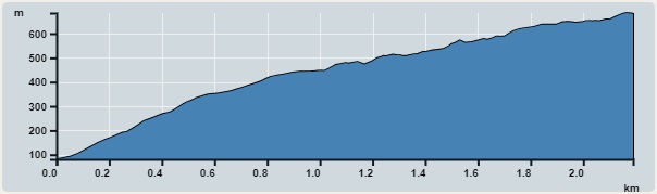 | |
| Ascent : 634m | Descent : 34m |
| Max : 685m | Min : 81m |
| (The accuracy of elevation is +/-30m) | |


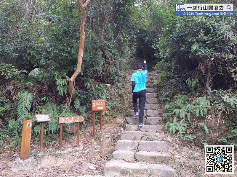
 18︰The step on the right is the starting point of the Wong Lung Hang Country Trail.
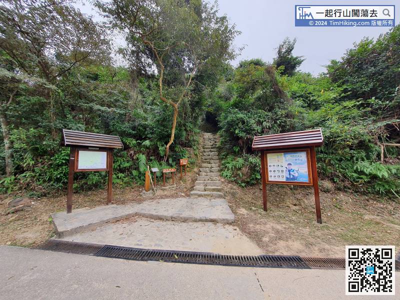
The step on the right is the starting point of the Wong Lung Hang Country Trail.
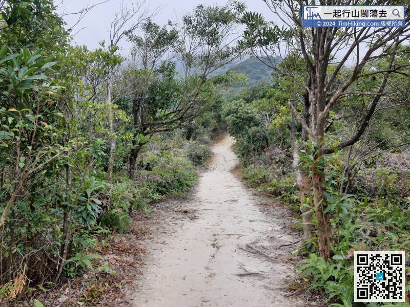
Just walk up, will be connected to a short section of flat dirt trail,
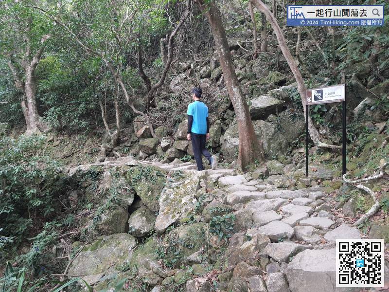
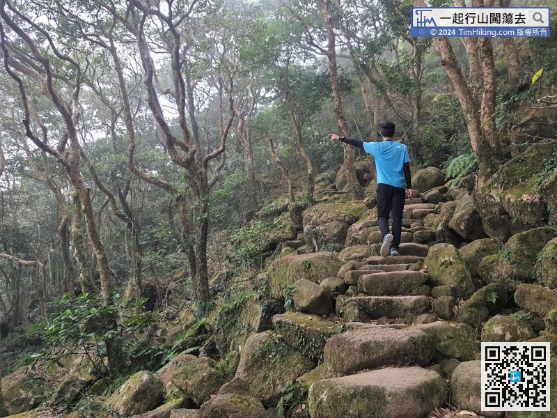
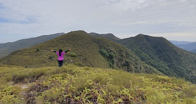
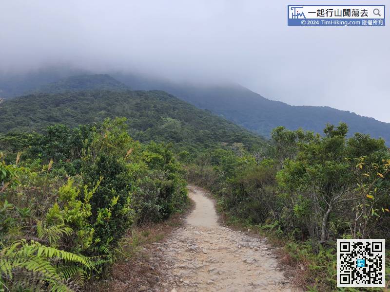 48︰The mountain trail has changed a lot, not just only steps, also some streams
The mountain trail has changed a lot, not just only steps, also some streams
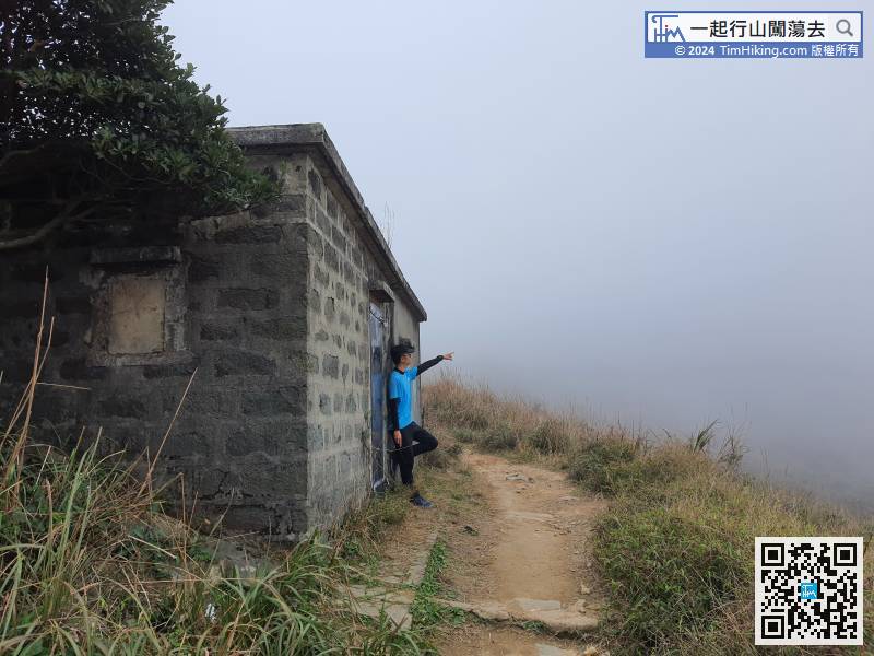
60︰will reach the end of the Wong Lung Hang Country Trail.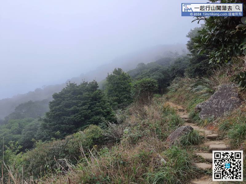


