


 Recommend YouTube


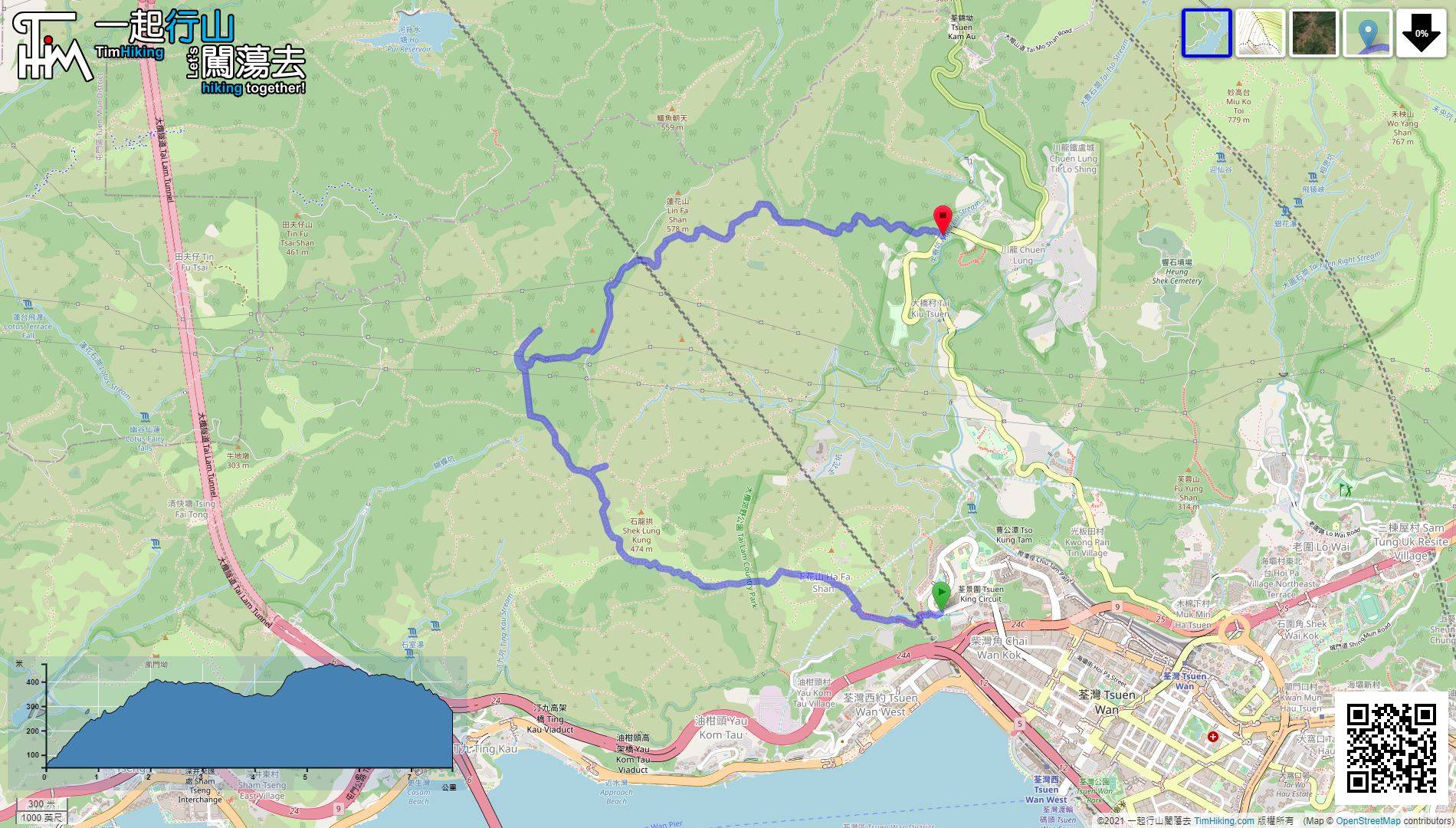
| View : |  | ||
| Difficulty : |  | ||
| Path : | |||
| Length : | 7.9km | ||
| Time : | 3hours | ||
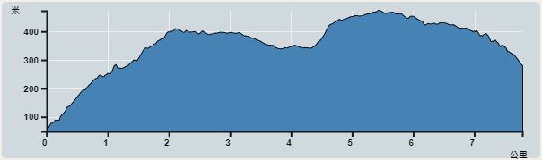 | |
| Ascent : 653m | Descent : 424m |
| Max : 473m | Min : 49m |
| (The accuracy of elevation is +/-30m) | |


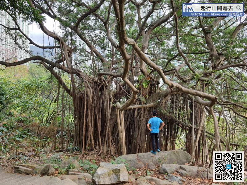
 12︰It can also be seen along the Country Trail. Its lushness covers a large area of trees, which is season-limited.
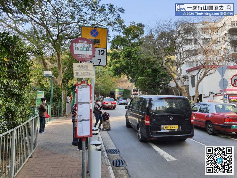
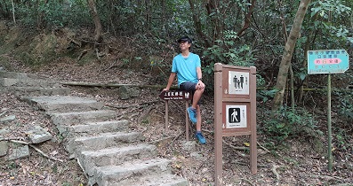
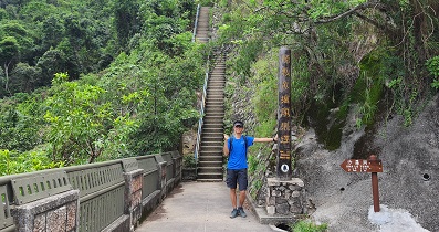
The starting point is near Adventist Hospital in Tsuen Wan. There are many bus and minibus routes to choose from.
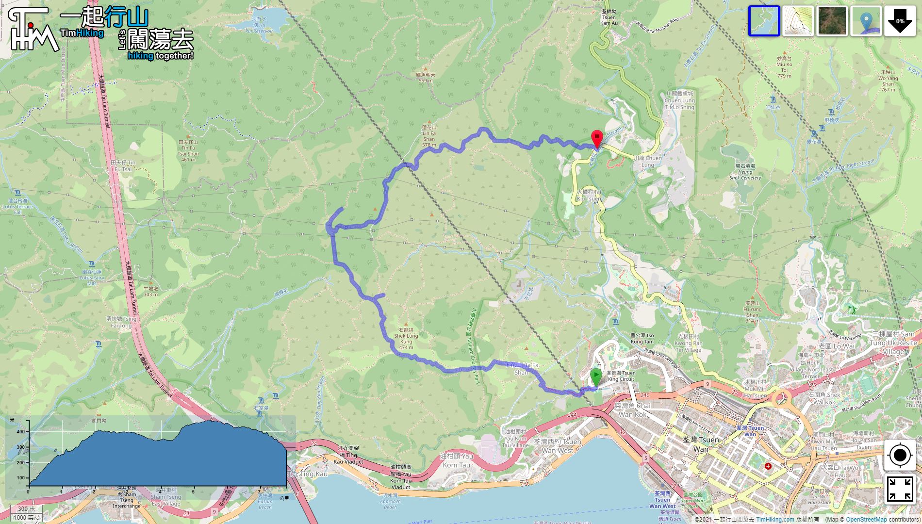
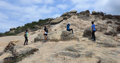
13︰Follow the uphill direction,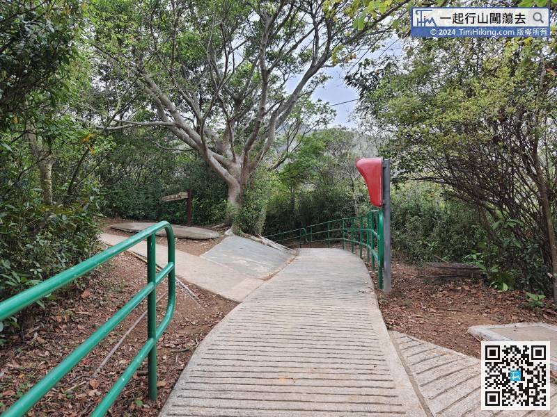 31︰with a 270-degree open scenery view.
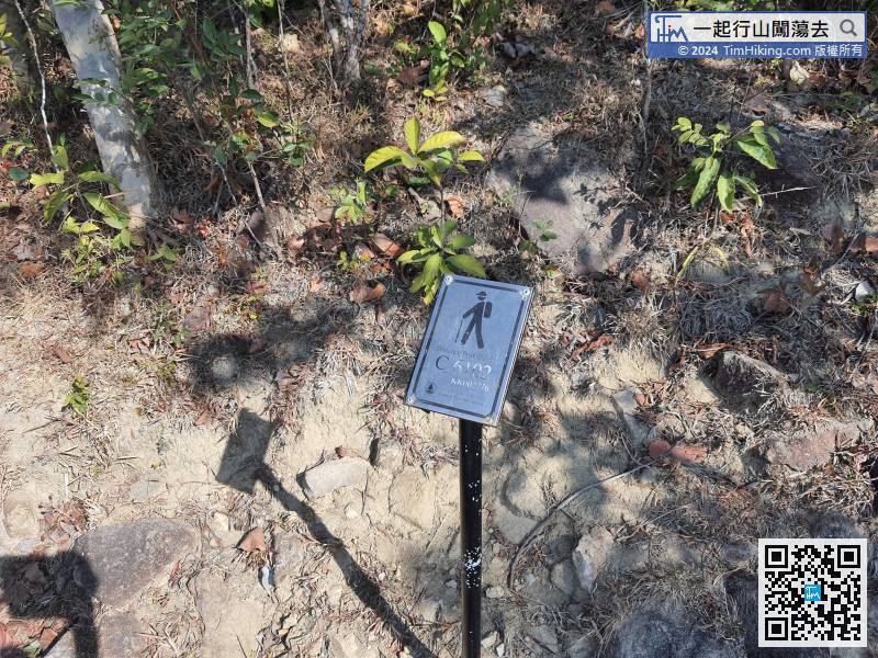
Each coming distance post is about 500 meters. After the distance post C6102,
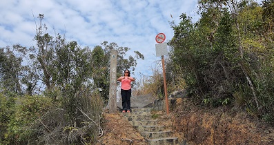
38︰Soon come to another fork,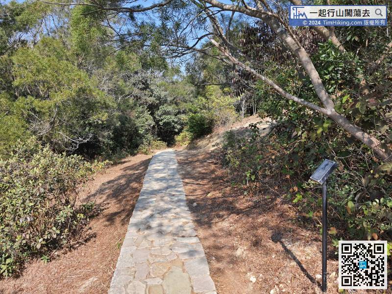 50︰until reaching the bifurcation.
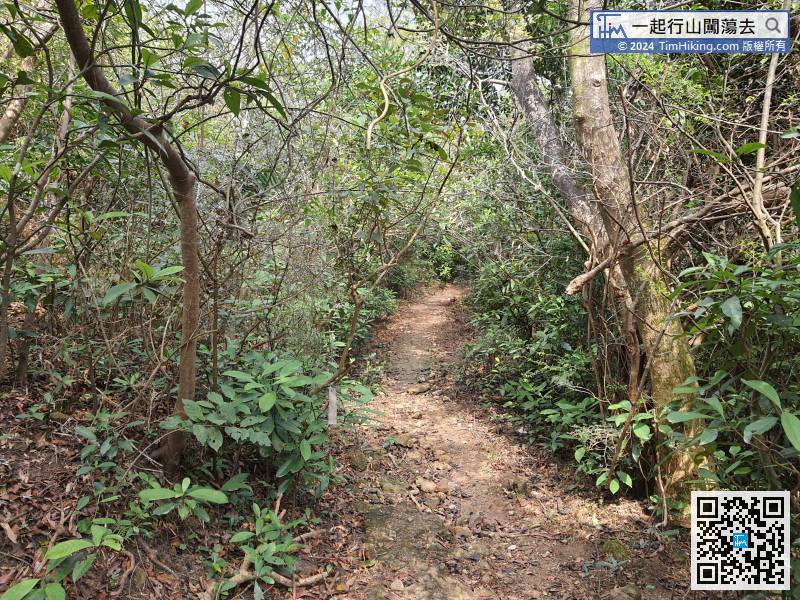
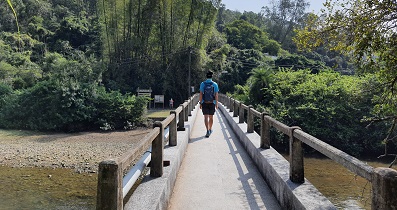
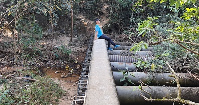
Crossing the 'No Through Road Ahead' sign, can see that the trail is still very clear.
65︰and will be much clearer after walking for a while.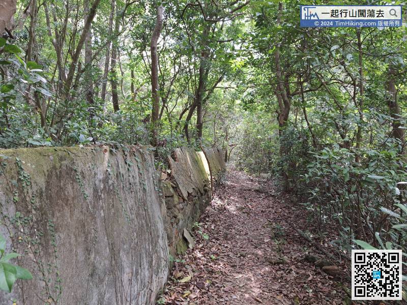 80︰Walk for about 600 meters, will find a gap in the Country Trail on the right.
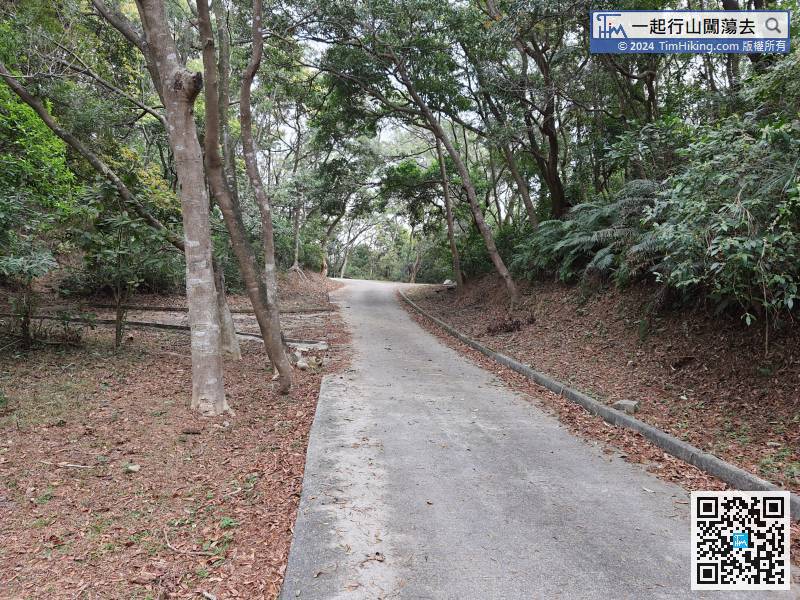 93︰At the fork of the road, keep to the left
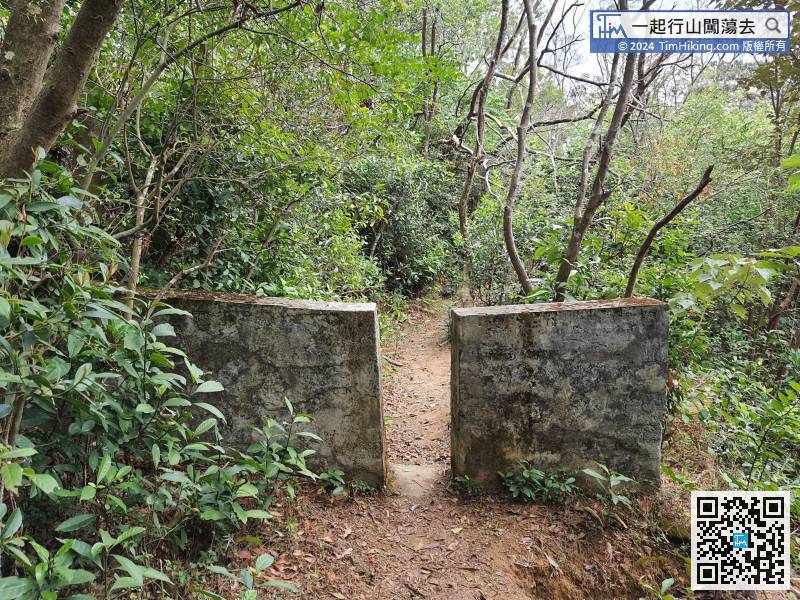 97︰There are no signs at the intersections,
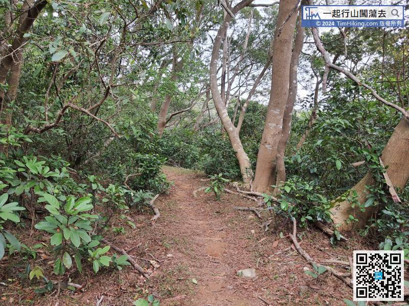
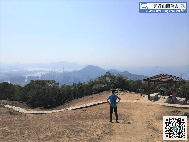
In fact, apart from Shek Lung Kung, all are in closed view, either through forests or tree-lined trails.
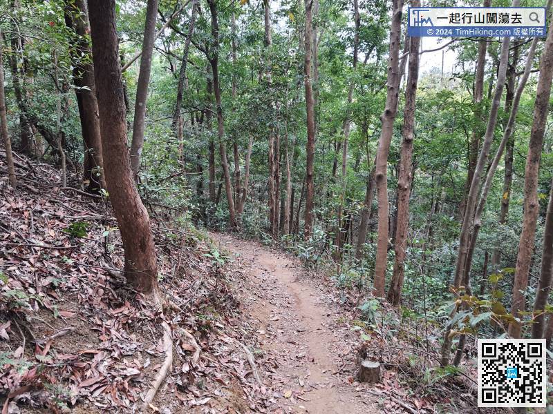
There will be no more intersection in the remaining trail,


