


 Recommend YouTube


| View : |  | ||
| Difficulty : |  | ||
| Path : | |||
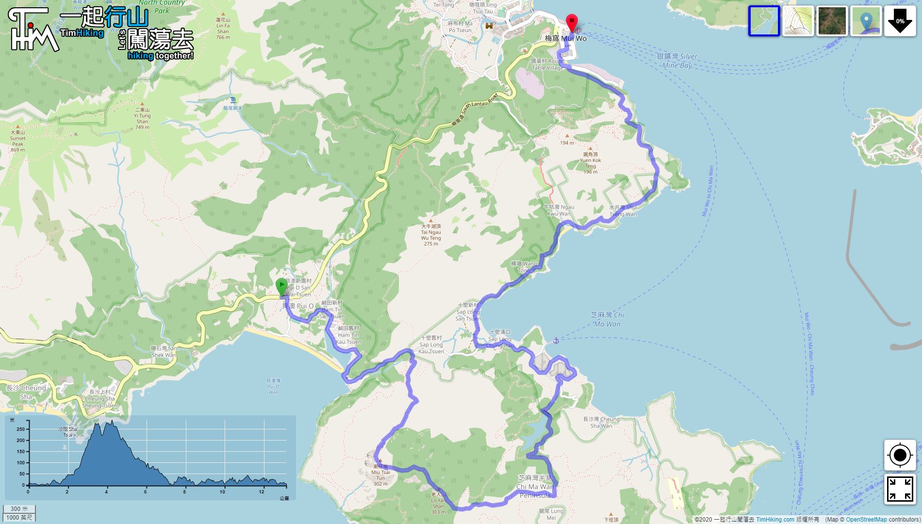
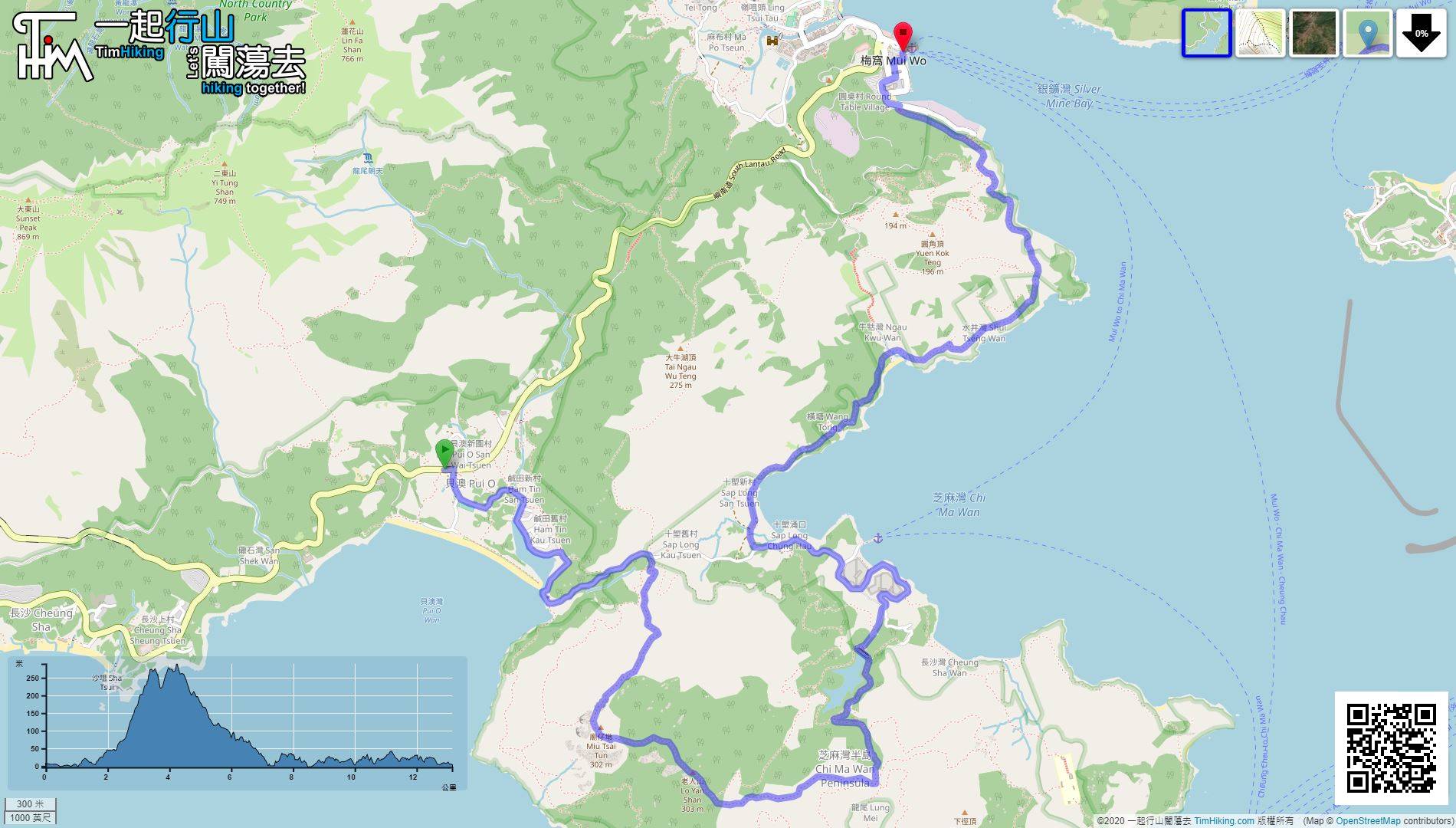
| Length : | 13.2km | ||
| Time : | 6hours | ||
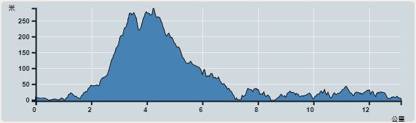 | |
| Ascent : 711m | Descent : 717m |
| Max : 289m | Min : 0m |
| (The accuracy of elevation is +/-30m) | |


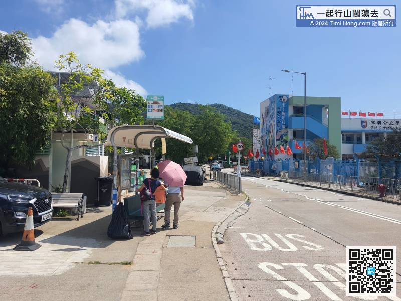
First go to Pui O, Lantau Island, take the Lantau Bus 3M from Tung Chung to Mui Wo, and get off at Law Uk Village.
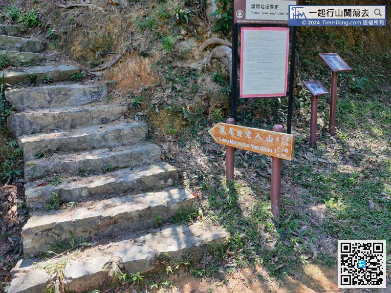
Go up the mountain from the middle to Lung Mei and Lo Yan Shan.
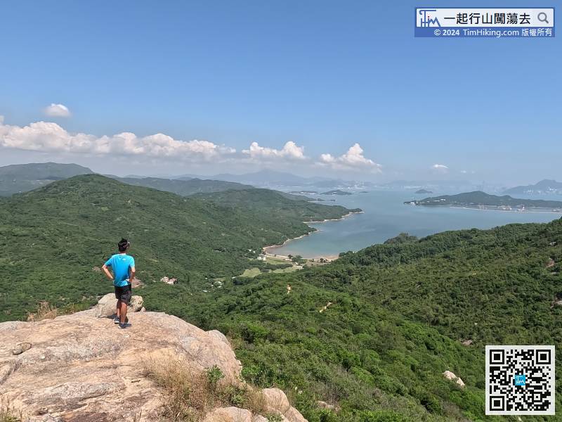
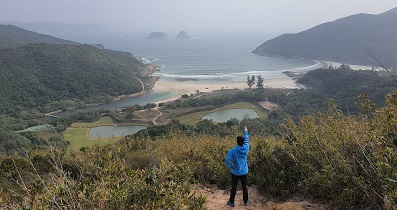
 55︰Miu Tsai Tun is 302 meters high, you can clearly see Sap Long at the bottom of the mountain,
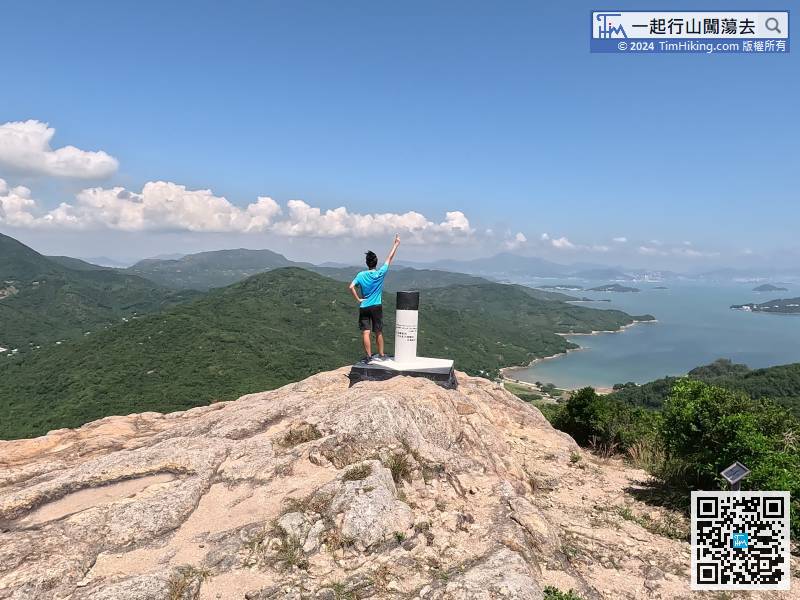
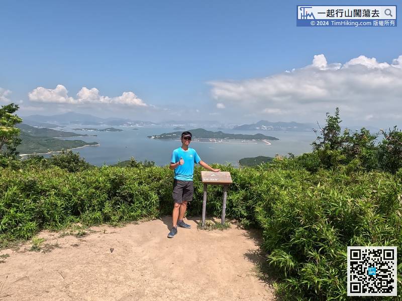
Miu Tsai Tun is 302 meters high, you can clearly see Sap Long at the bottom of the mountain,
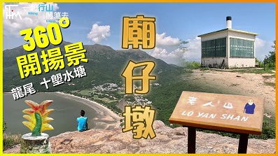
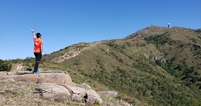
79︰Lo Yan Shan is 303 meters high. Fire Lookout is marked with signs from South 1 to 14; West 1 to 16;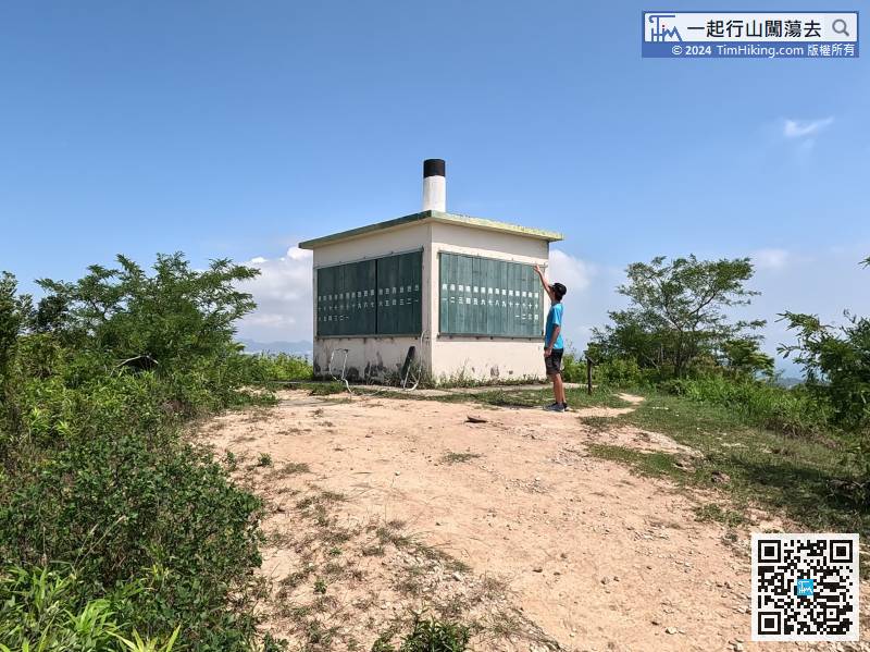
Lo Yan Shan is 303 meters high. Fire Lookout is marked with signs from South 1 to 14; West 1 to 16;
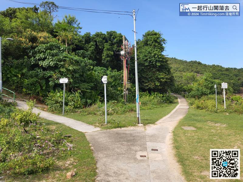
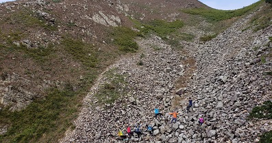
100︰After walking for about half an hour, we came to the six-forked intersection of Lung Mei.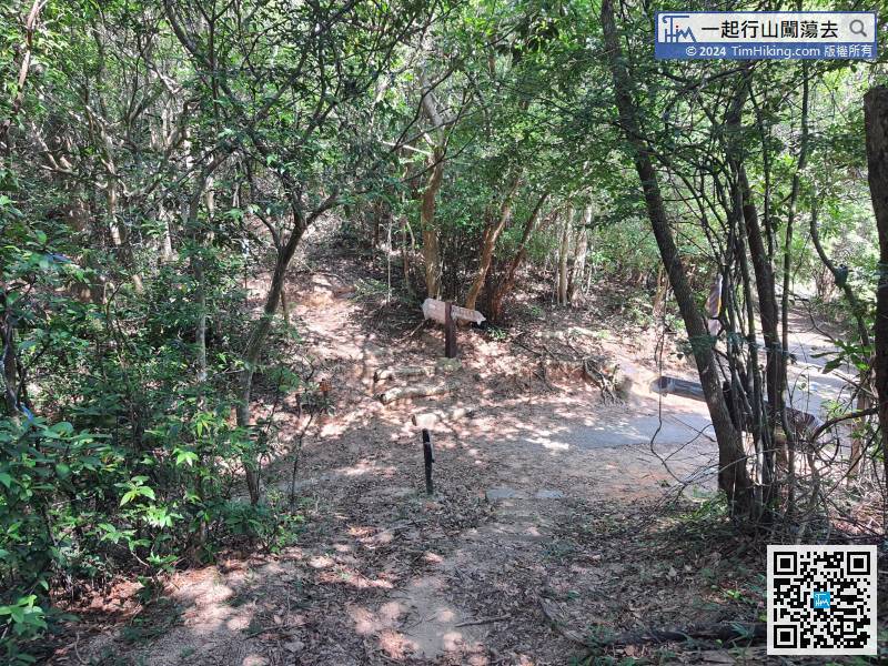
After walking for about half an hour, we came to the six-forked intersection of Lung Mei.
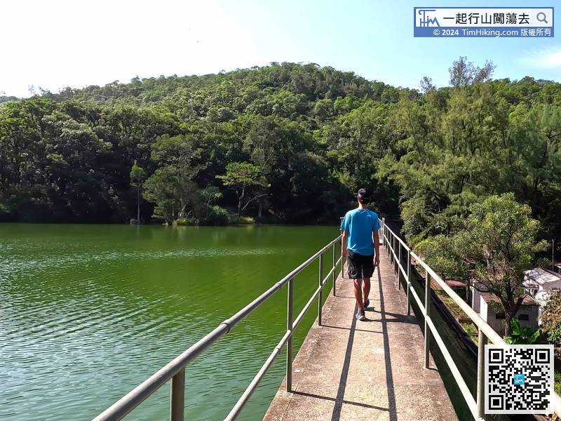
124︰The capacity of the Sap Long Irrigation Reservoir is 130,000 cubic meters. It looks like a giant squid from the sky view.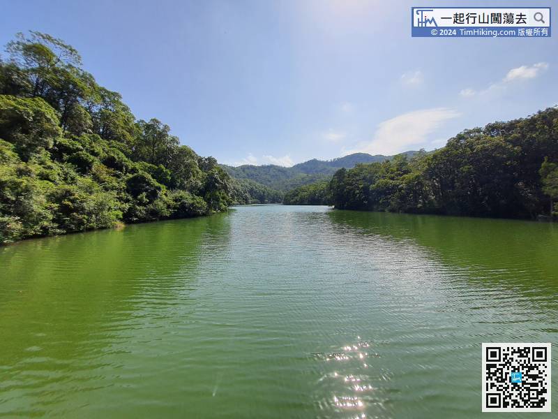
The capacity of the Sap Long Irrigation Reservoir is 130,000 cubic meters. It looks like a giant squid from the sky view.
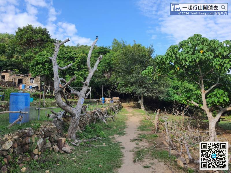
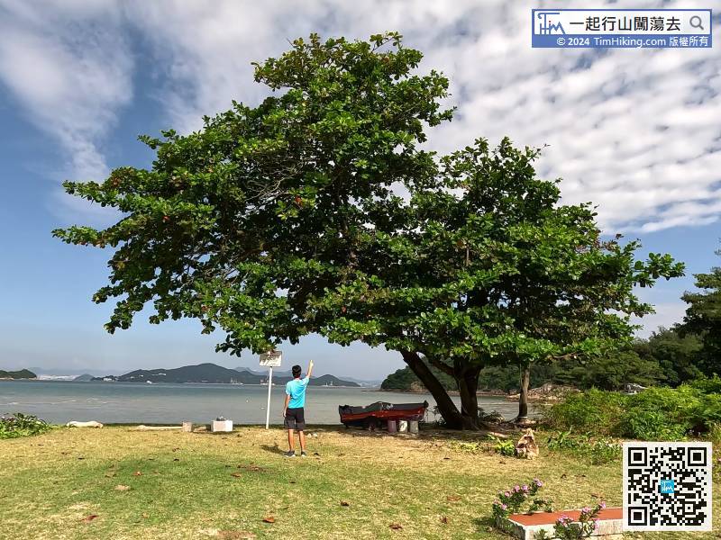
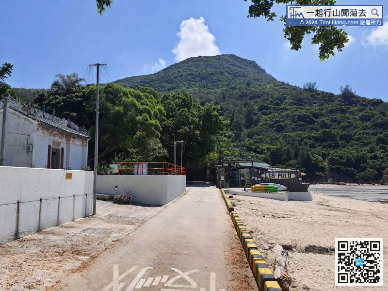
Go to a very old-fashioned material, Shui Tseng Wan, all houses are made of stone, as entering a primitive world.
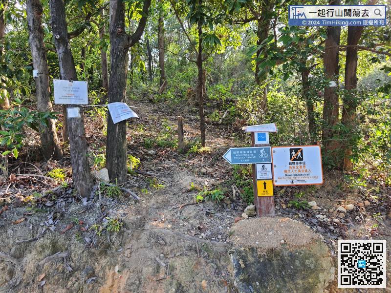
There is a Mountain Bike Trail along the way,


