


 Recommend YouTube


| View : |  | ||
| Difficulty : |  | ||
| Path : | |||
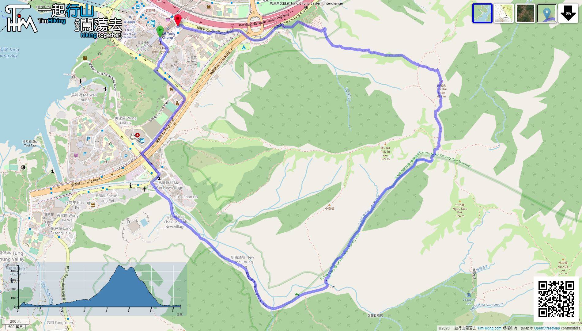
| Length : | 7.4km | ||
| Time : | 6½hours | ||
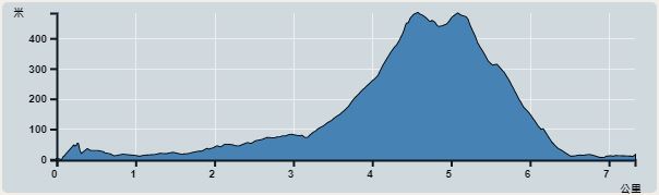 | |
| Ascent : 645m | Descent : 634m |
| Max : 465m | Min : 0m |
| (The accuracy of elevation is +/-30m) | |


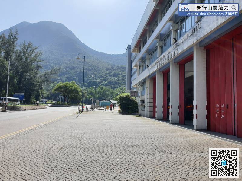
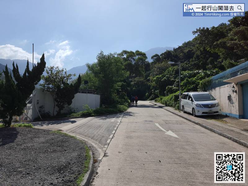
First, take Exit A of Tung Chung MTR Station and go to Tung Chung Fire Station, or take the E-line bus from various districts to Tung Chung Fire Station and get off.
ext is a slightly long concrete sloping road, all the way up to the top, about 1.7km.
 22︰and the trail on the left leads to Po To Yan and Pak Lung Stream.
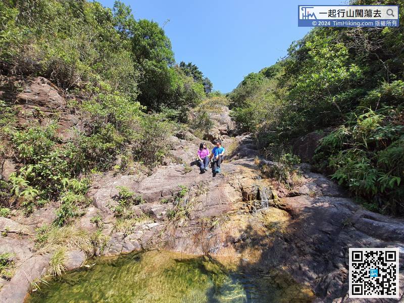
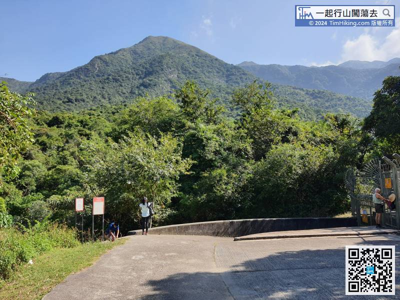 32︰and then the stream will become a bit wider.
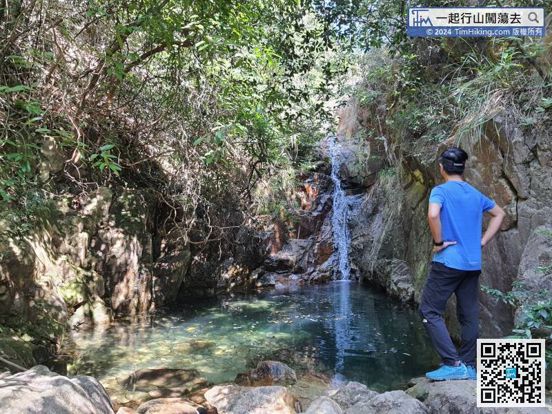
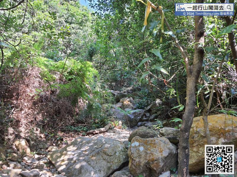 43︰Meanwhile, will pass through many small pools,
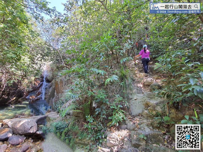
Pay attention to the trail on the right side of the pool, can bypass the pool via mountain trail instead of climbing through the waterway.
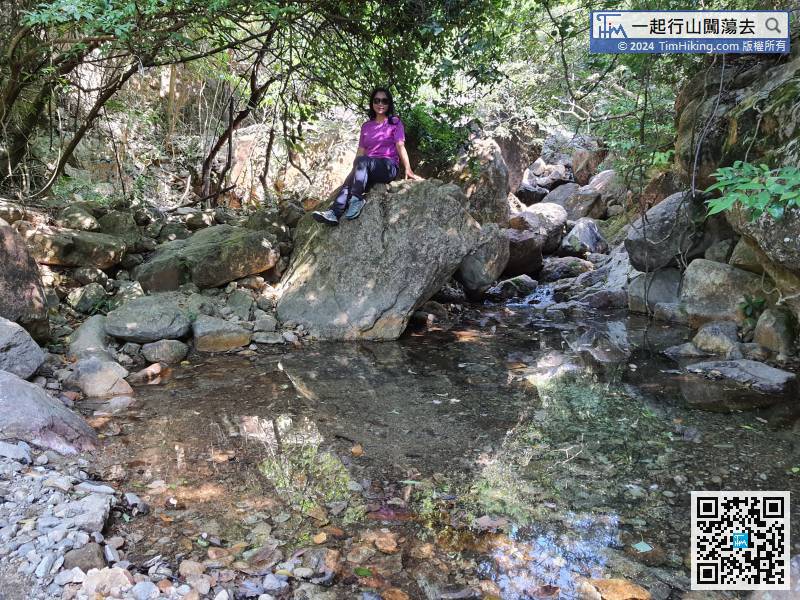
49︰Already walking in the stream for 1.5 hours, and estimate one more hour remain.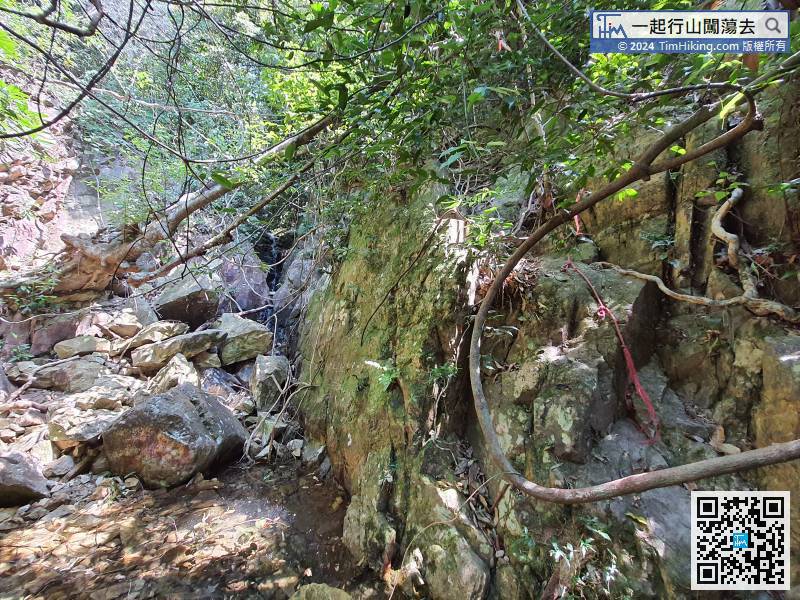
In more dangerous locations, there are assisted ropes left by the hikers,
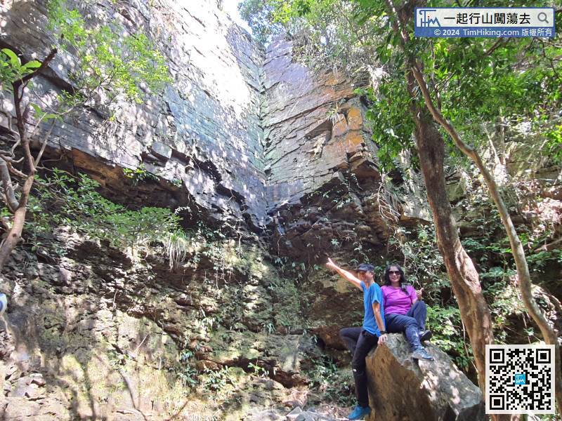
59︰The Heavenly Book Wall is also the end of Pak Lung Stream. It consists of two straight rock walls.
The Heavenly Book Wall is also the end of Pak Lung Stream. It consists of two straight rock walls.
76︰at the bottom is a crossroad. On the left and right are the trails just before boarding Por Kai Shan, and go straight to Tung Chung.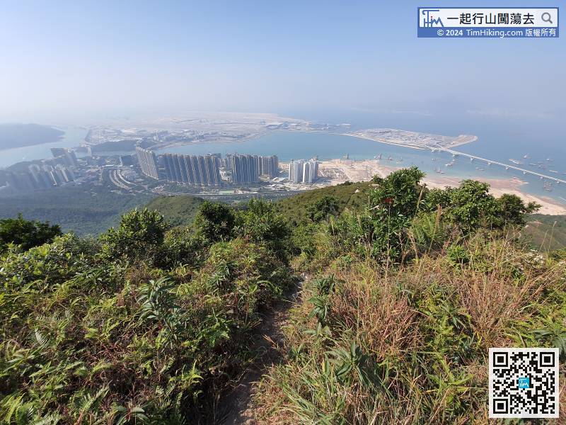 84︰after down to the bottom of Tung Mui Ancient Trail, turn left
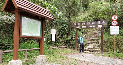


