


 Recommend YouTube


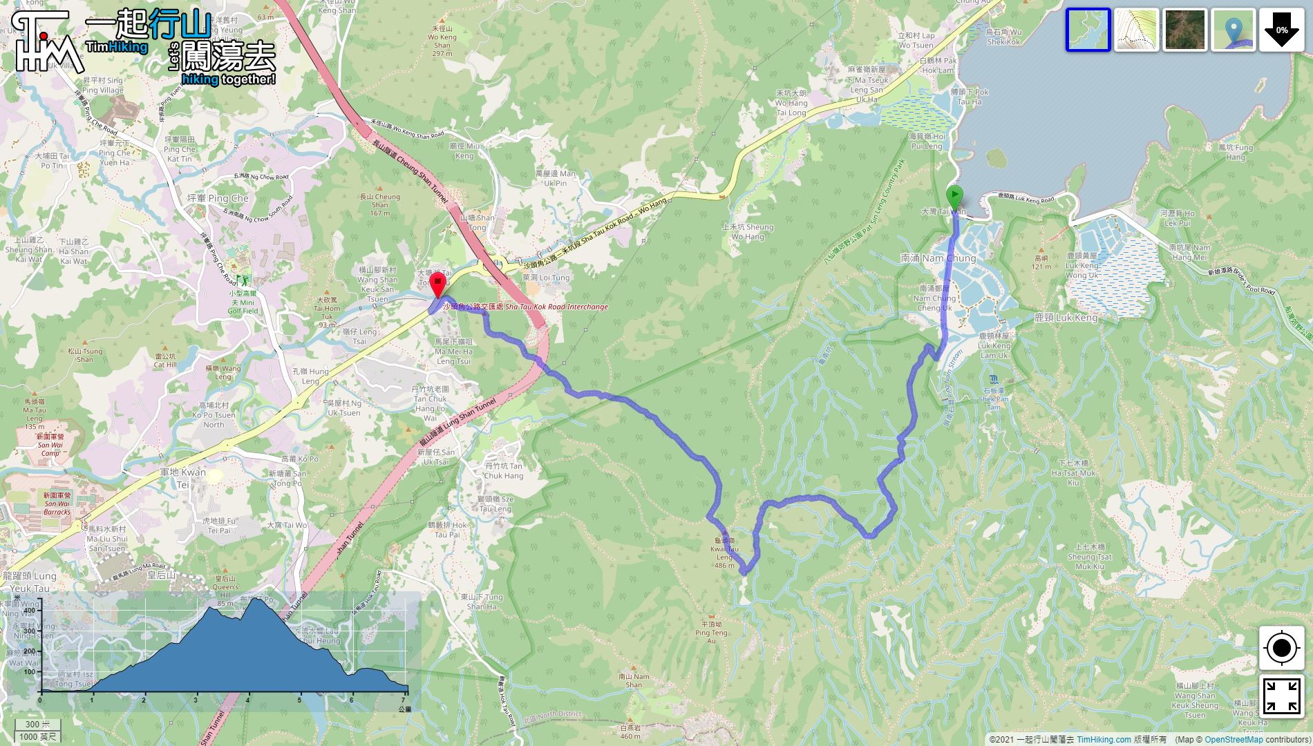

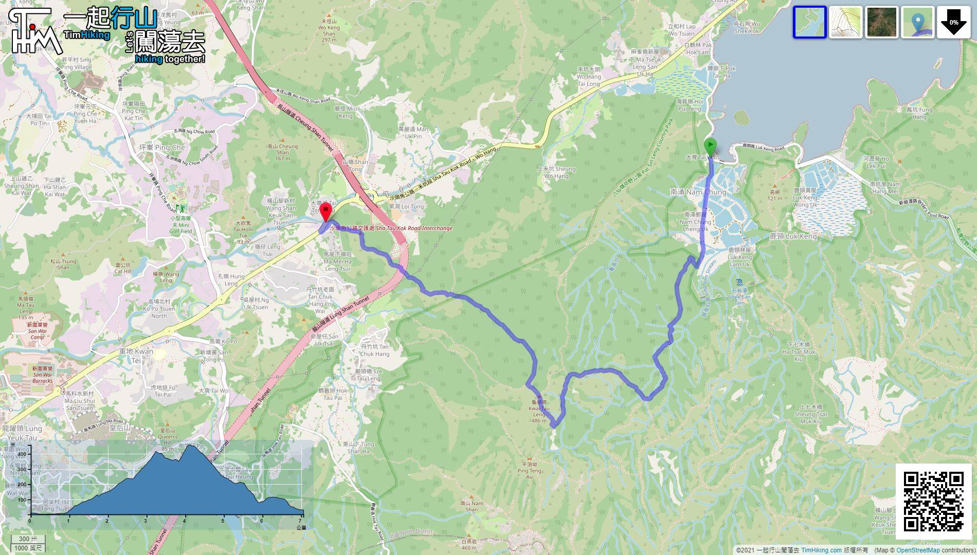
| View : |  | ||
| Difficulty : |  | ||
| Path : | |||
| Length : | 7.1km | ||
| Time : | 4½hours | ||
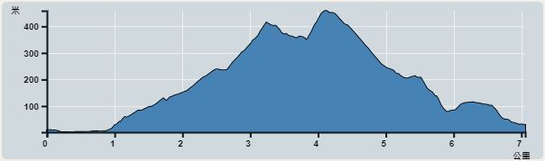 | |
| Ascent : 611m | Descent : 584m |
| Max : 459m | Min : 1m |
| (The accuracy of elevation is +/-30m) | |


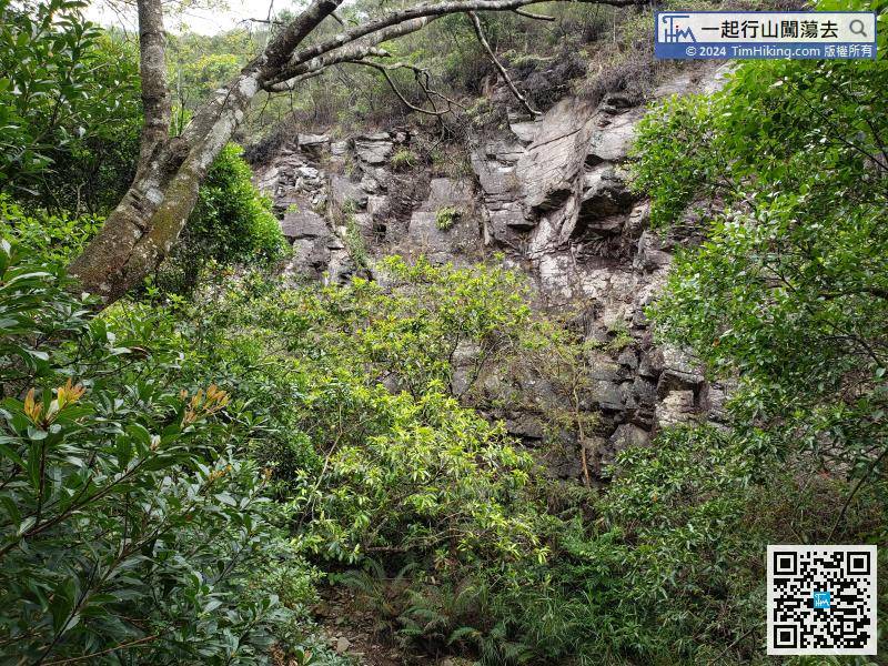
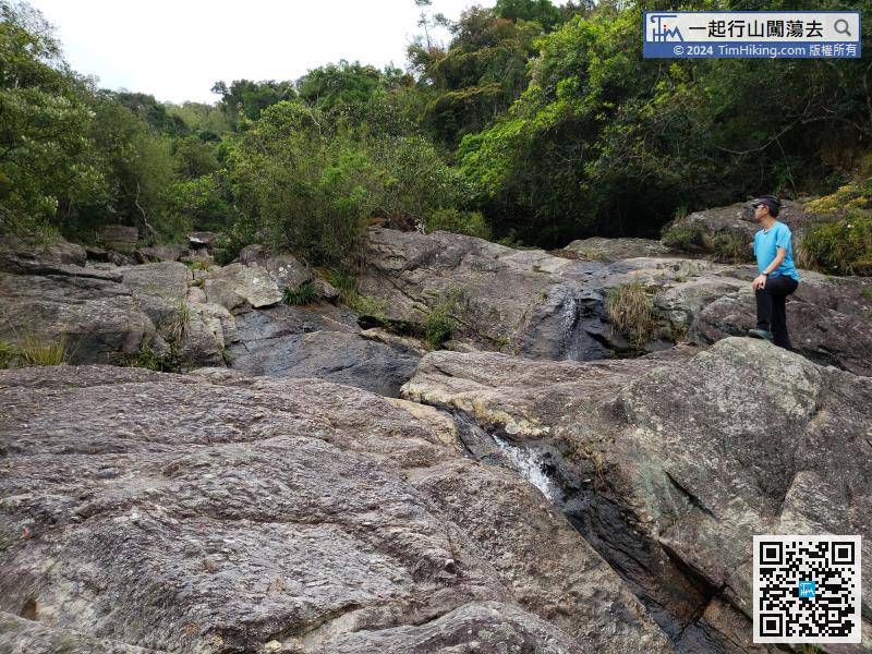
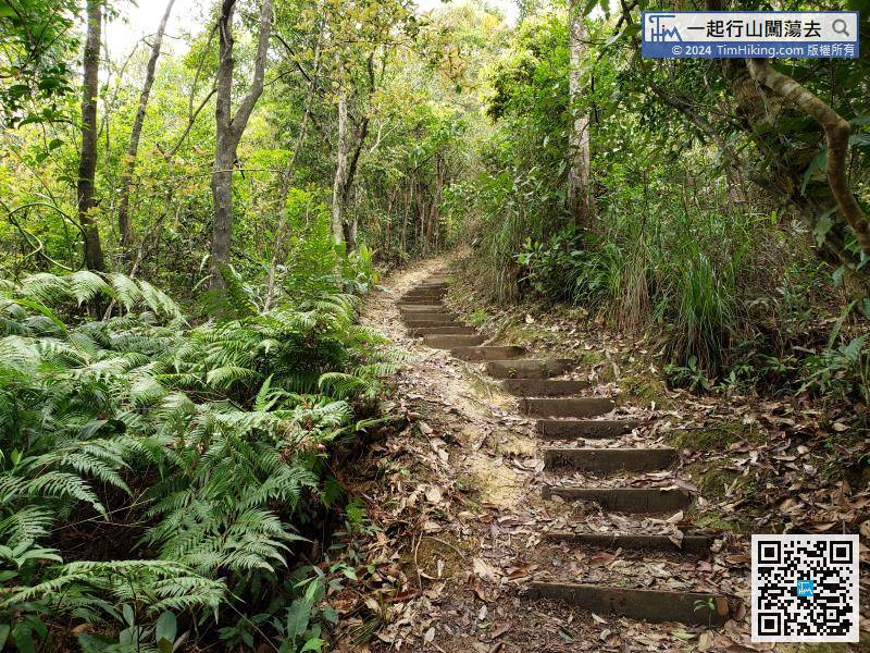
After passing through Ping Nam Stream, continue up the steps and you will see the cliffs next to Ping Nam Stream.
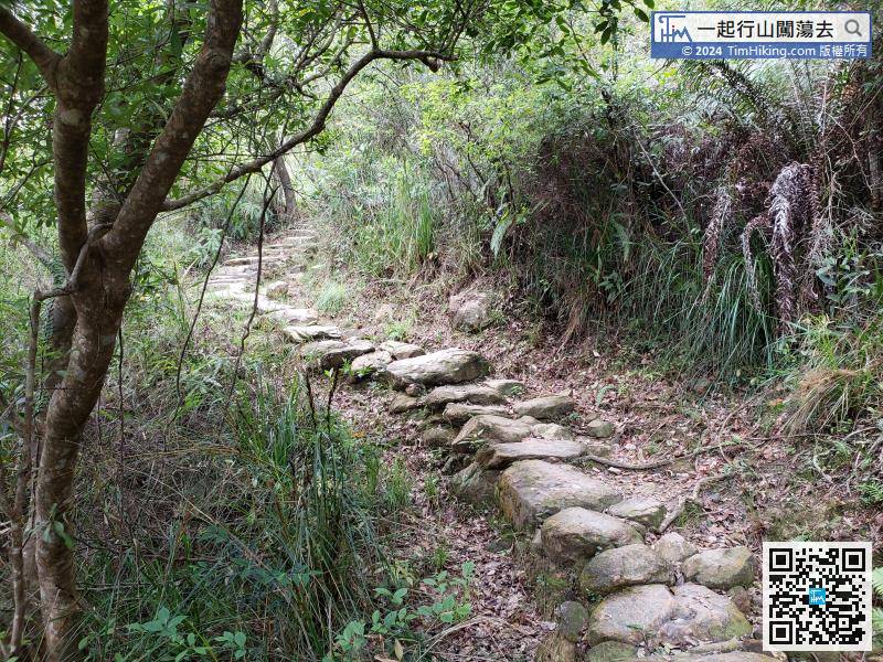
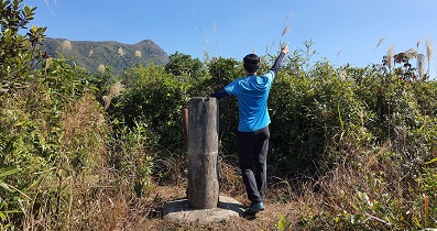
 34︰before the steps going down, there is a barren trail on the right-hand side to Kwai Tau Leng.
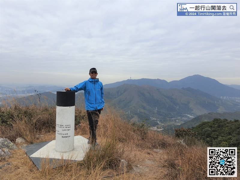
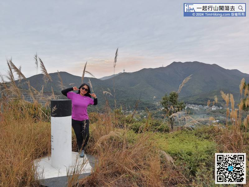
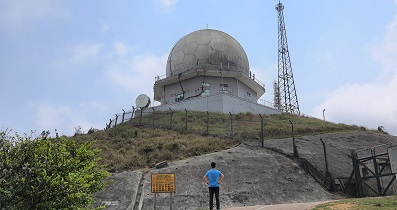
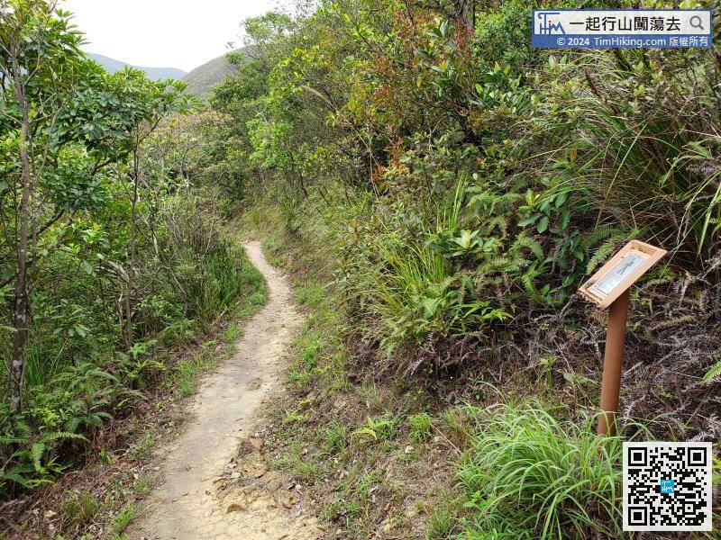 40︰Kwai Tau Leng has a trigonometrical station, and the scenery is vast.
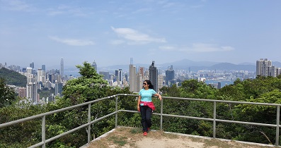
 52︰All ribbons are a beacon.
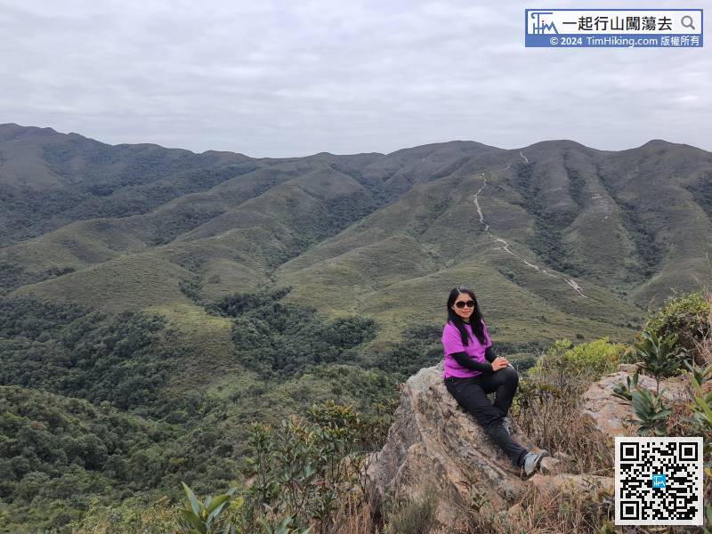
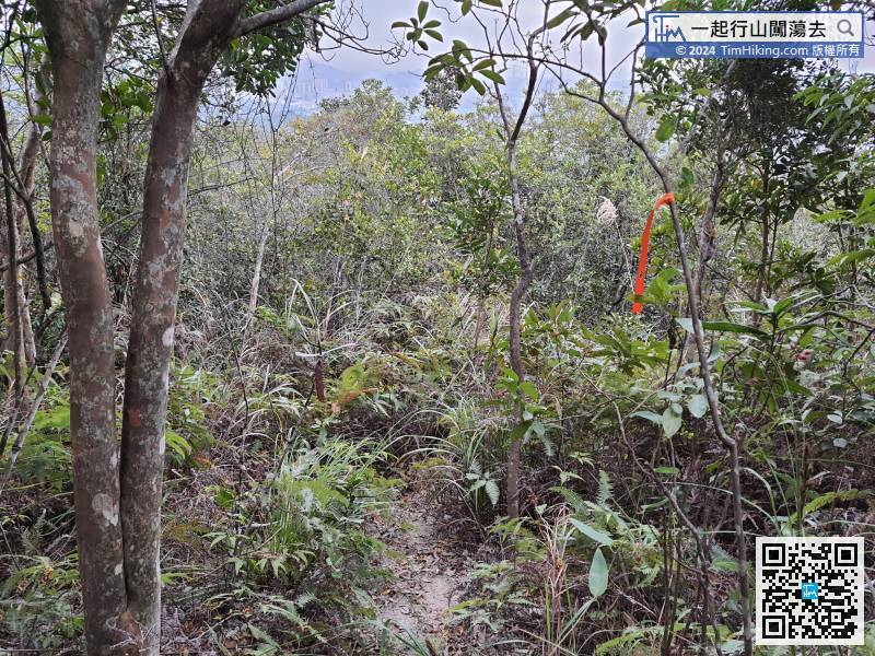 59︰Next is the open scenery mountain trail.
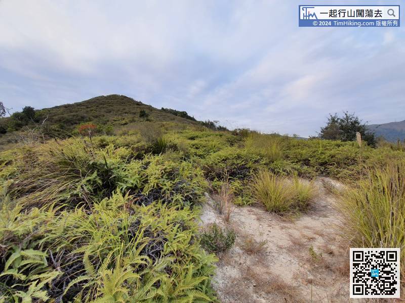 75︰Turn right on the road
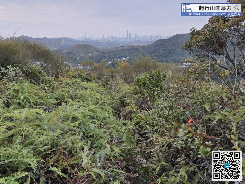


