


 Recommend YouTube


| View : |  | ||
| Difficulty : |  | ||
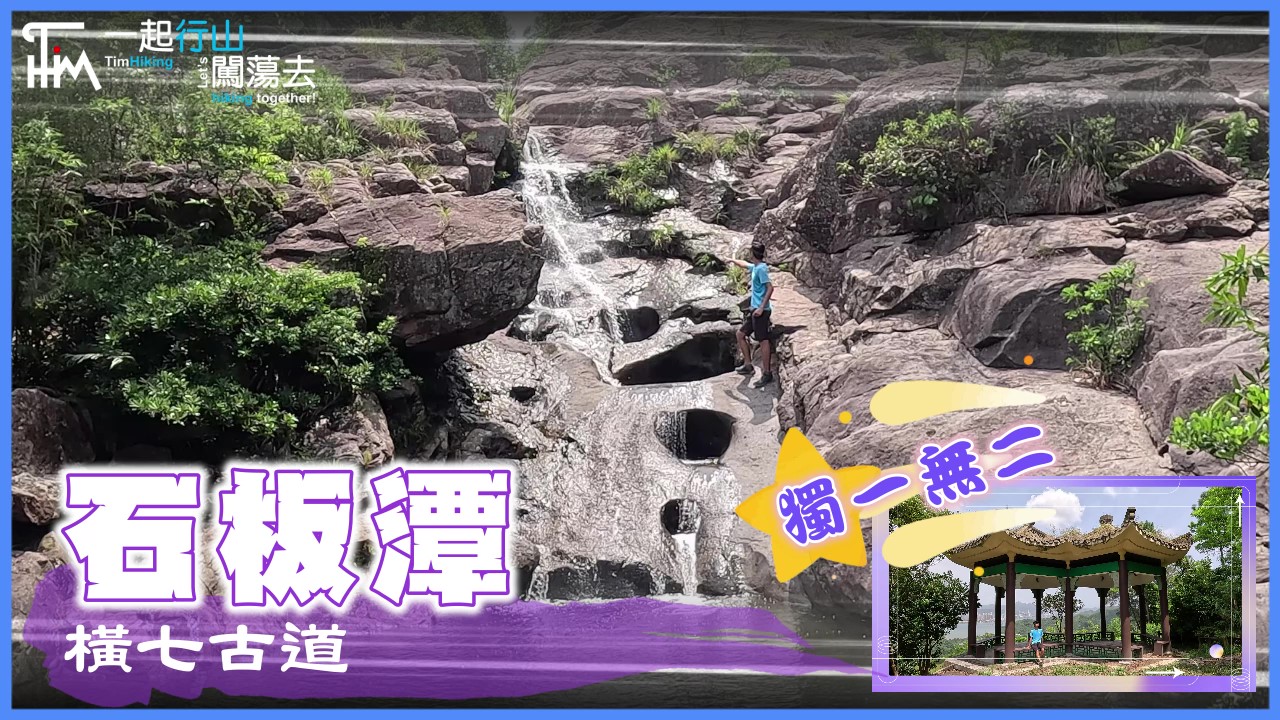
| Path : | |||
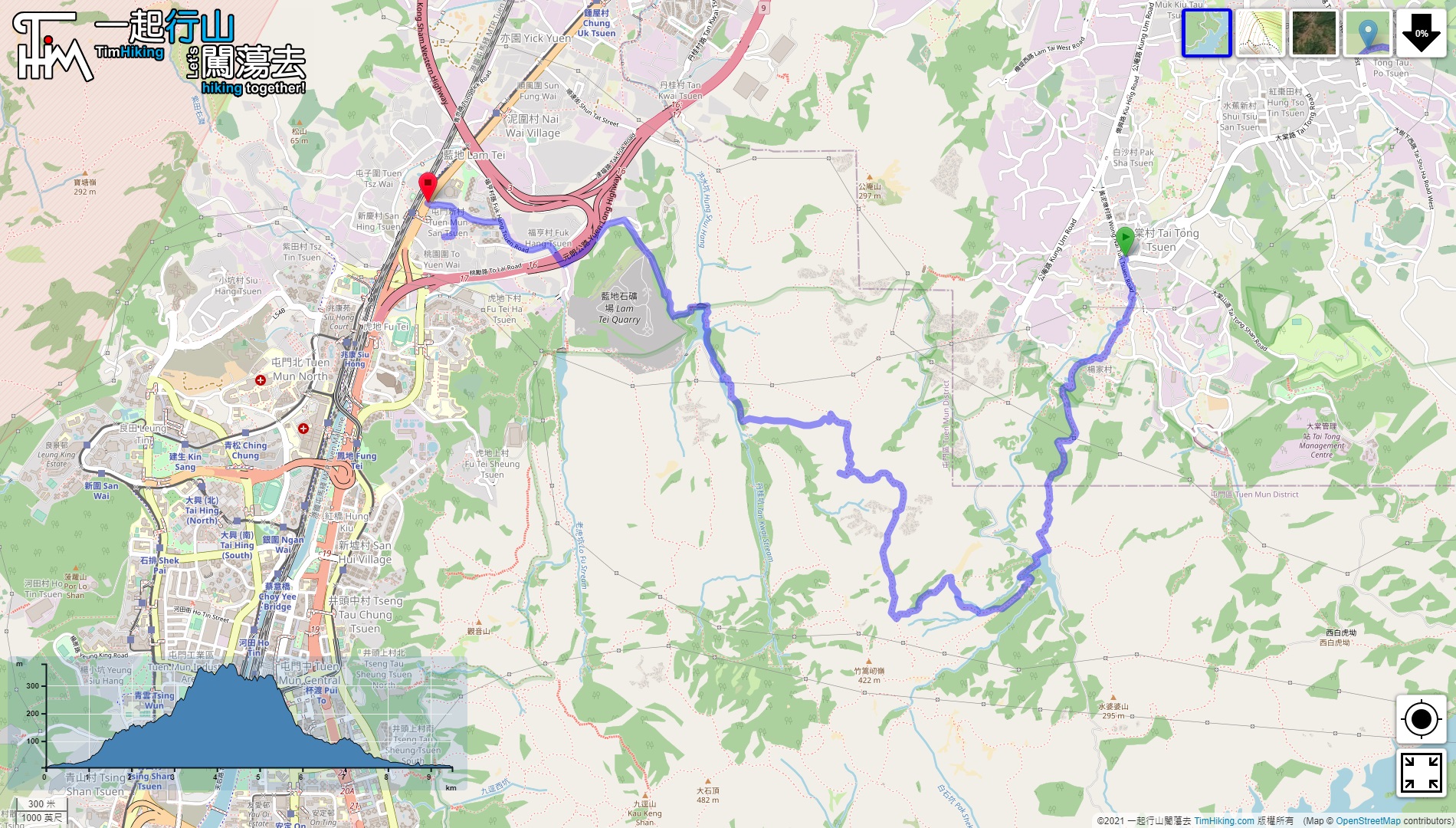
| Length : | 9.6km | ||
| Time : | 5hours | ||
 | |
| Ascent : 615m | Descent : 626m |
| Max : 379m | Min : 5m |
| (The accuracy of elevation is +/-30m) | |


 7︰until reaching the entrance of the mountain trail.
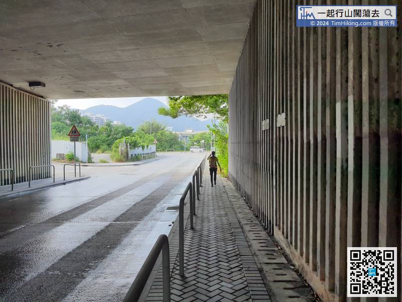
The starting point is near Tai Tong Wong Nai Tun Tsuen. You can take the MTR bus K66 and get off at the terminus.
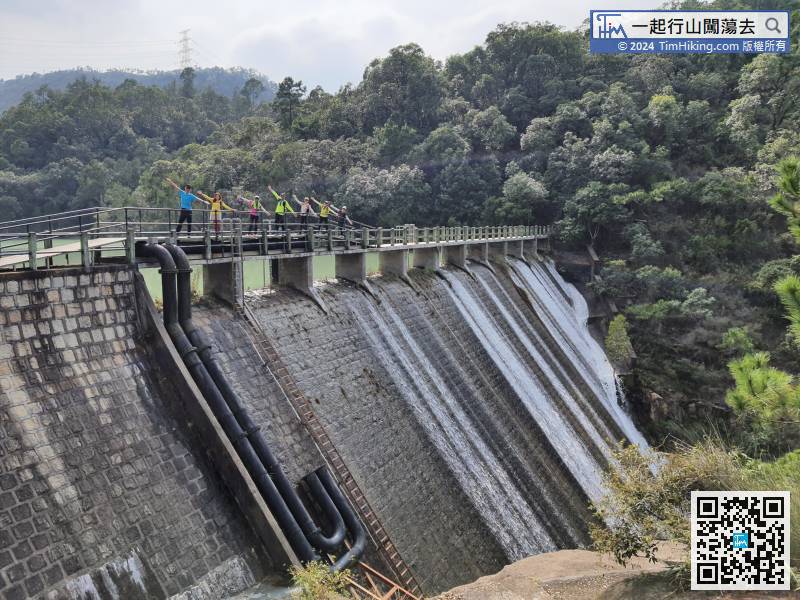
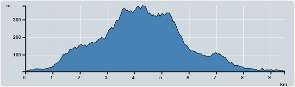
19︰While crossing the Wong Nai Chung Reservoir Main Dam,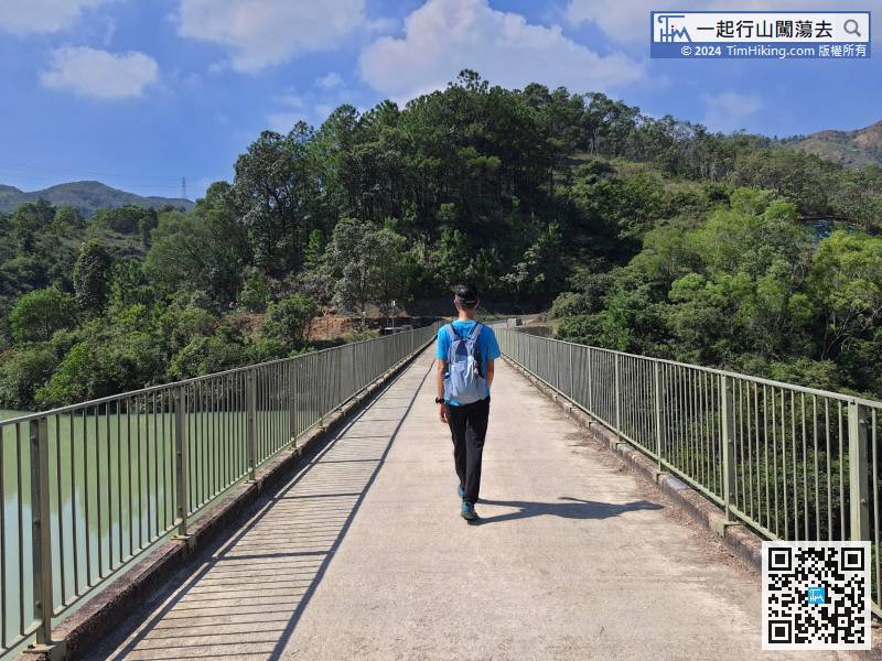 33︰Look carefully for the narrow barren trail on the right,
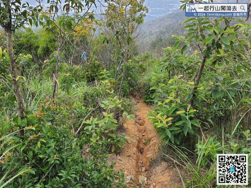
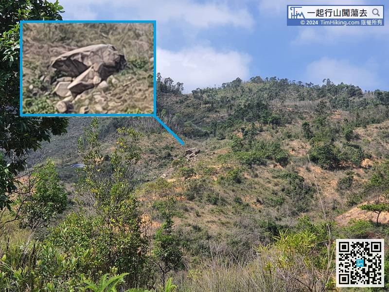
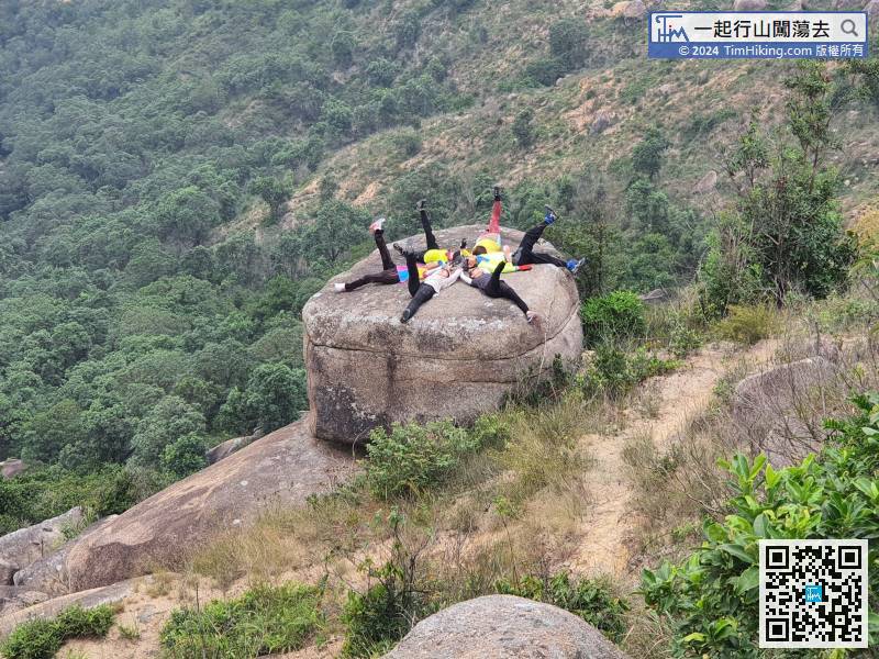
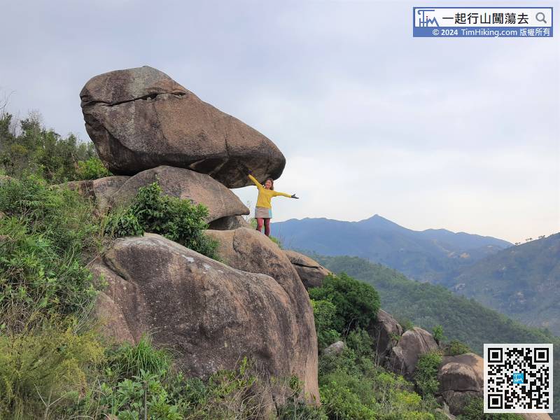
Along the way, hikers can find the Peregrine Falcon Rock on the right-hand side's mountainside.
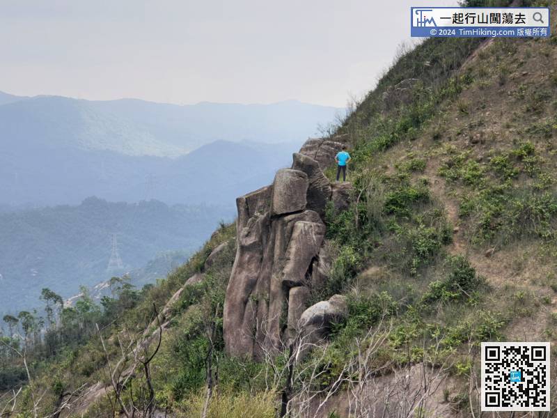
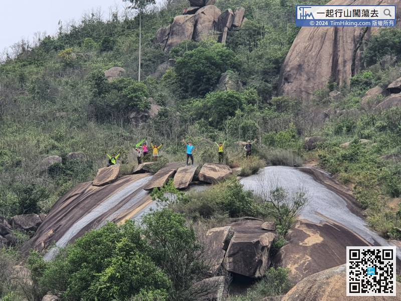
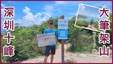
49︰no more bifurcation until reaching the top.
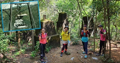
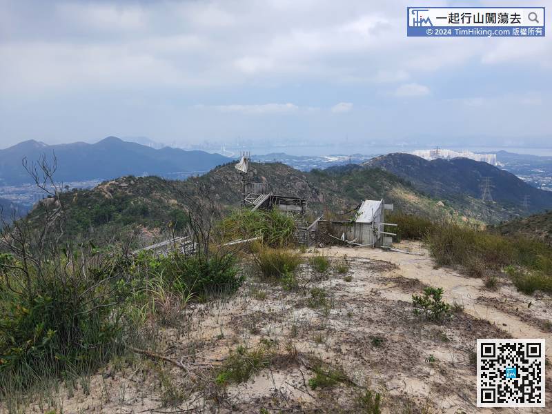 74︰and has a bigger platform.
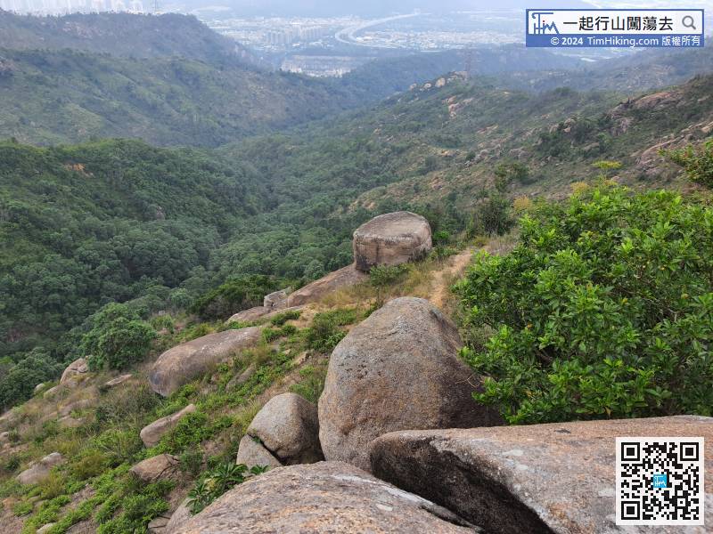
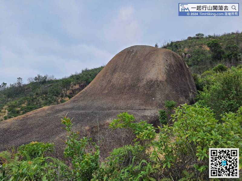
Giant Boot Rock is at the bottom right of Teapot Cover Rock.
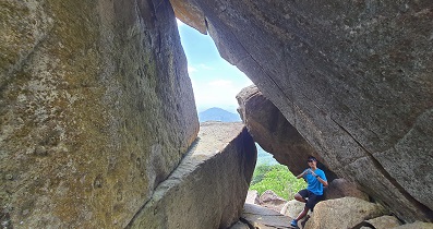
The position of the Whale's Mouth is actually The World's Chair,
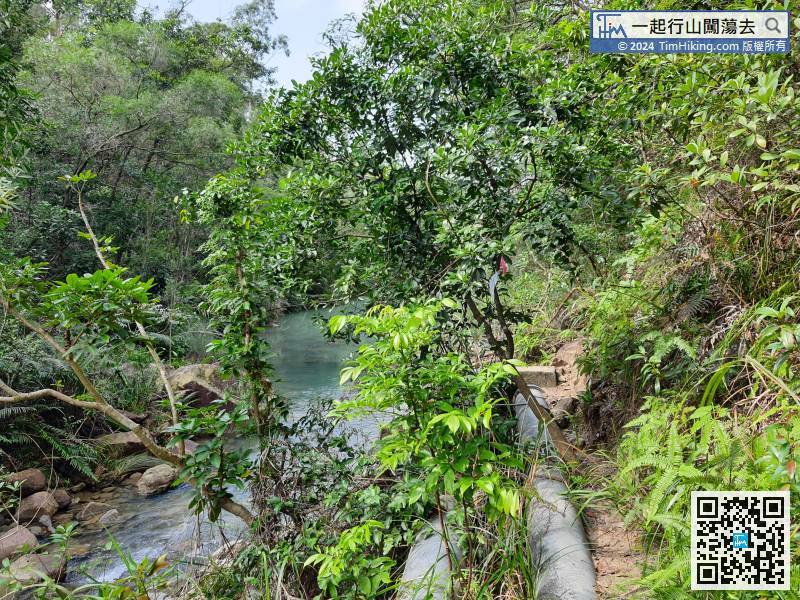
There is a barren trail along the road, just like The Pipe.


