


 Recommend YouTube


| View : |  | ||
| Difficulty : |  | ||
| Path : | |||
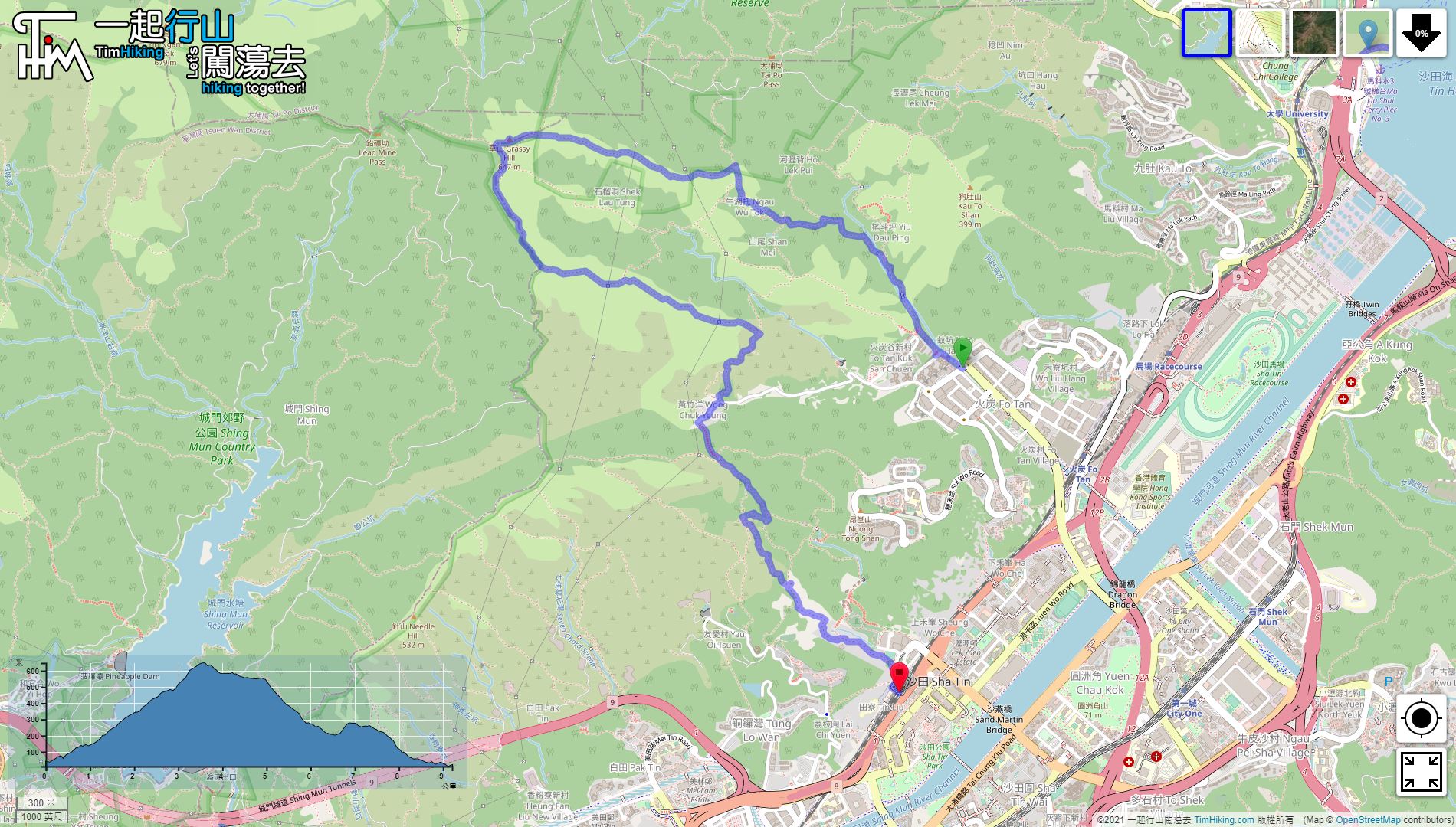
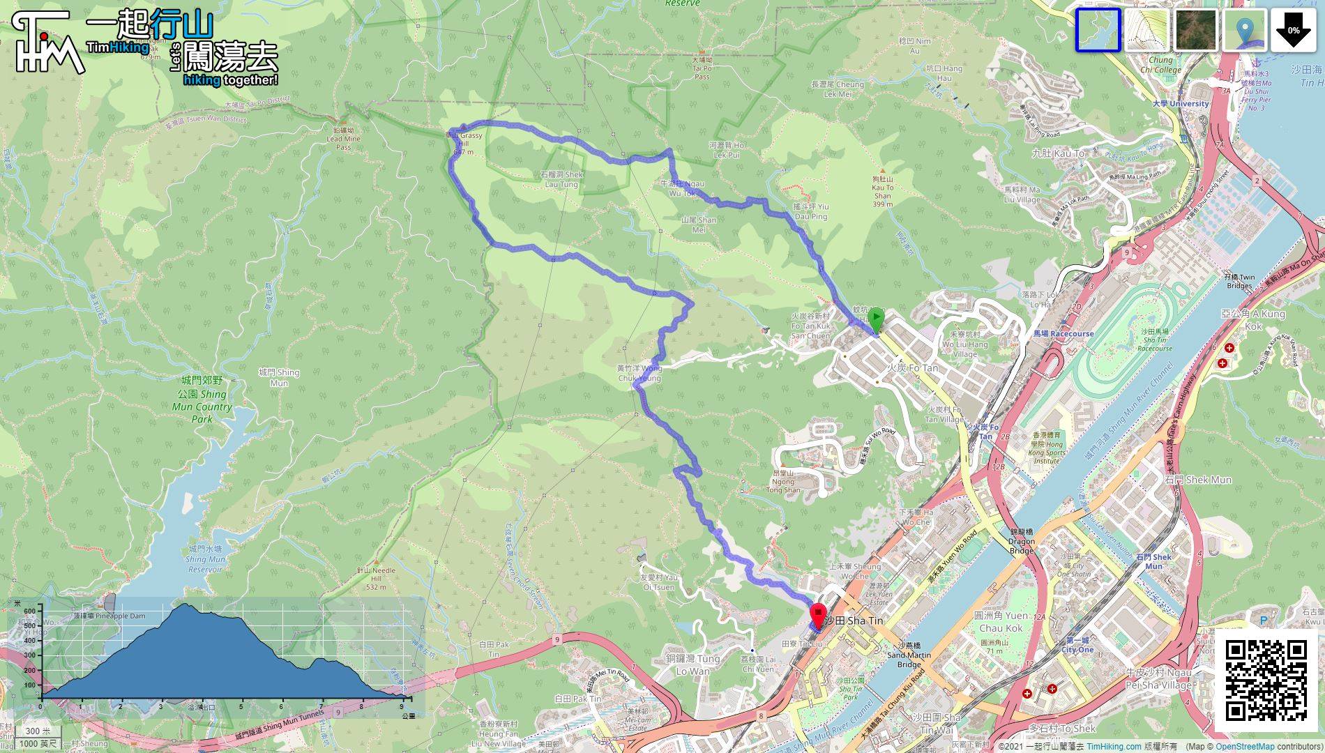
| Length : | 9.5km | ||
| Time : | 5hours | ||
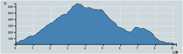 | |
| Ascent : 831m | Descent : 846m |
| Max : 633m | Min : 10m |
| (The accuracy of elevation is +/-30m) | |


 12︰will arrive at Yiu Dau Ping.
 17︰After seeing the street signs of Shan Mei Village,
 29︰Walk along the road embryo
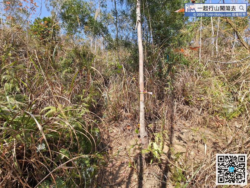
Afterwards, pay attention to the direction indicated by the ribbon.
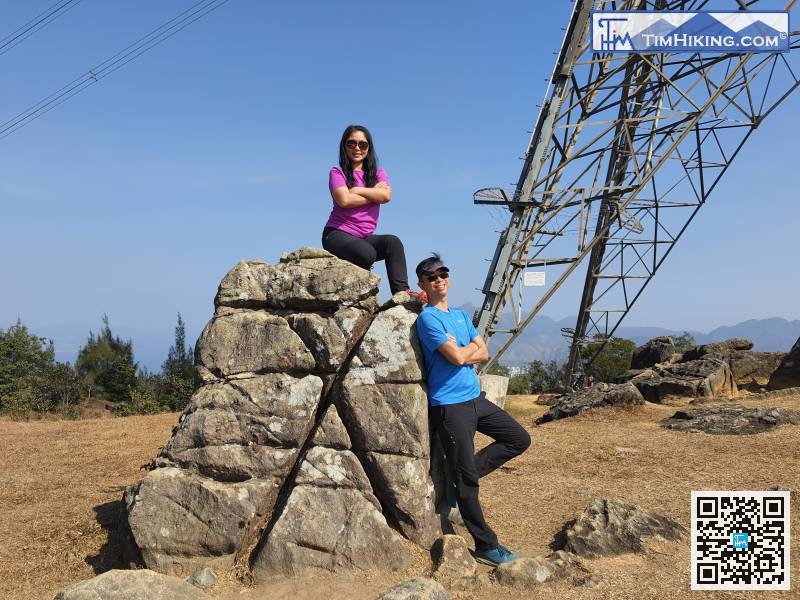
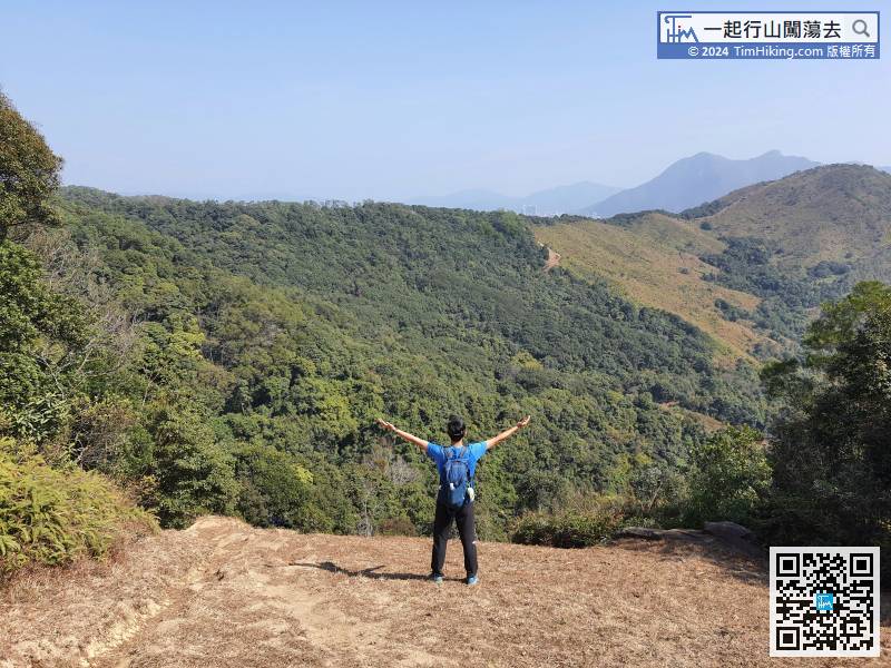
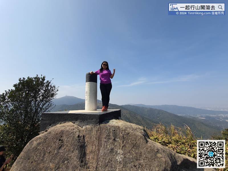
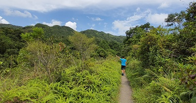
41︰Pay attention to the sloping dirt road on the left,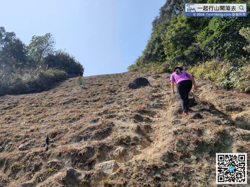 56︰and you will see the trigonometrical station of Grassy Hill.
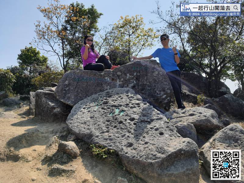
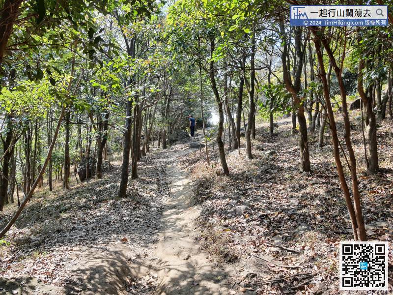 71︰The Cross Rock is in front of the electric tower.
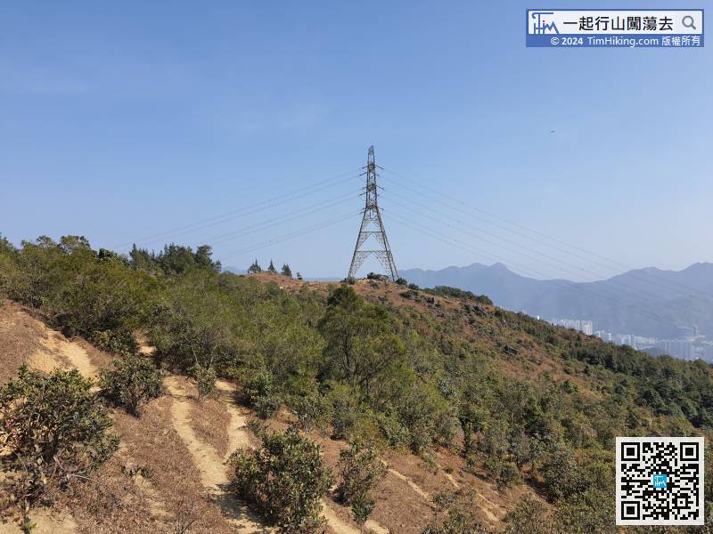
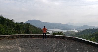
All roads lead to Rome. Just target the electric tower
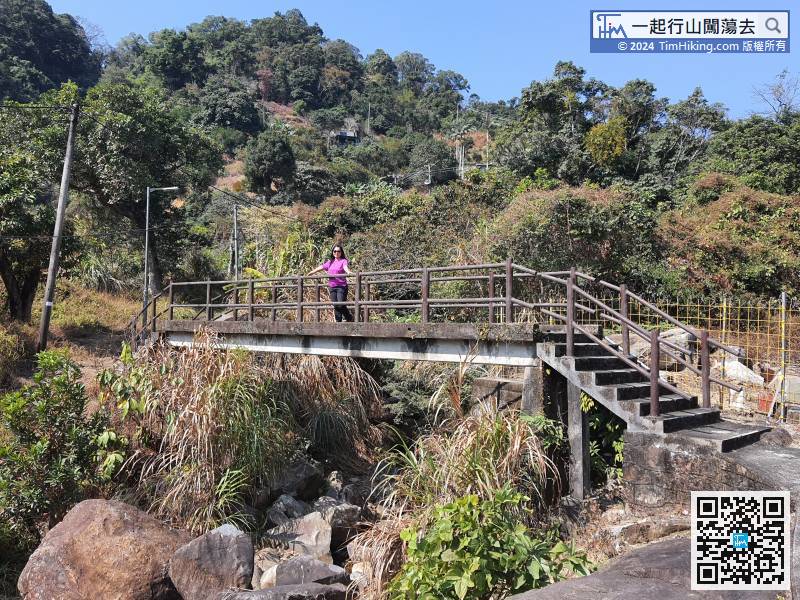
96︰then cross the stream bridge at the end,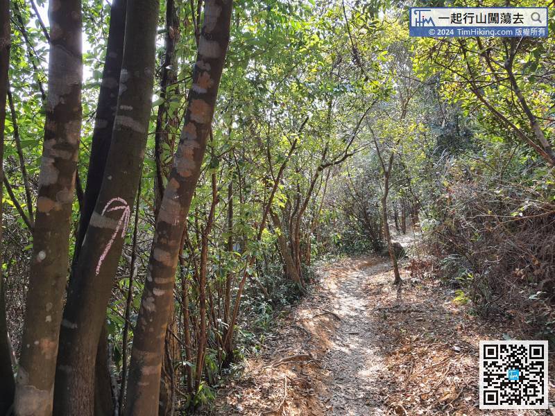
Turning left is to Shan Mei Village, turn right to Wong Chuk Yeung Tsuen,
102︰In an instant, come to another bifurcation,
After reaching the flat road, the left-hand side is to Wah Chui Garden and go straight is to Shatin.
 127︰it connects to the village road of Pai Tau Tsuen.
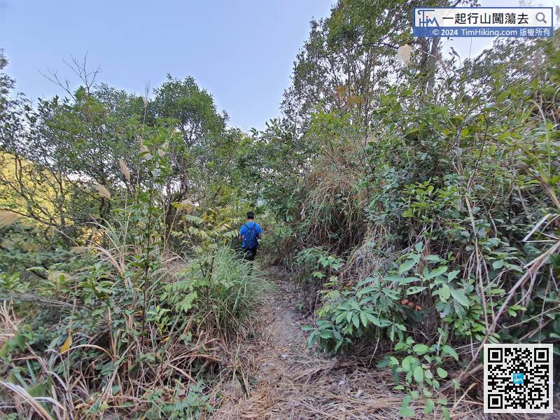


