


 Recommend YouTube


| View : |  | ||
| Difficulty : |  | ||
| Path : | |||
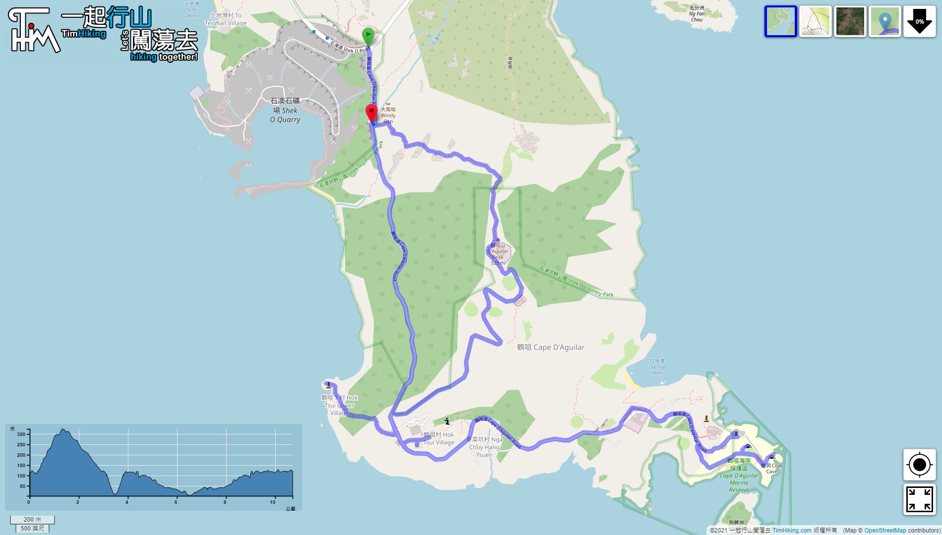
| Length : | 11.2km | ||
| Time : | 6hours | ||
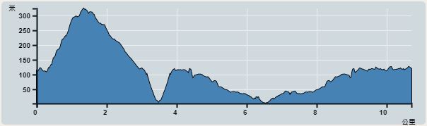 | |
| Ascent : 461m | Descent : 451m |
| Max : 324m | Min : 2m |
| (The accuracy of elevation is +/-30m) | |


 Cape D'Aguilar村 Store
To get to Cape D'Aguilar, you can take the bus 9 or the red minibus at Shau Kei Wan
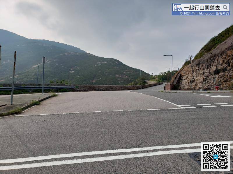
 17︰Turn left at the bifurcation road
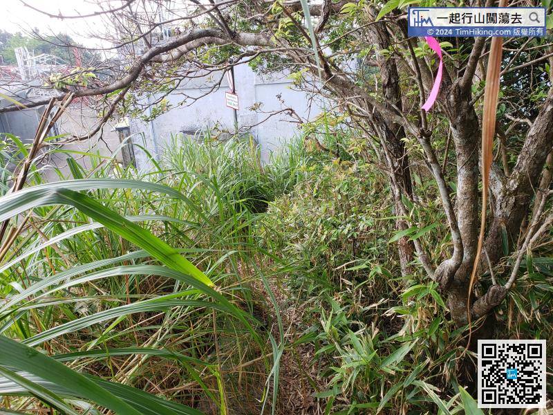 24︰Everyone has fun,
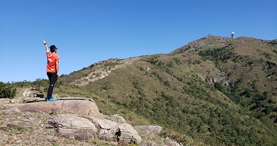
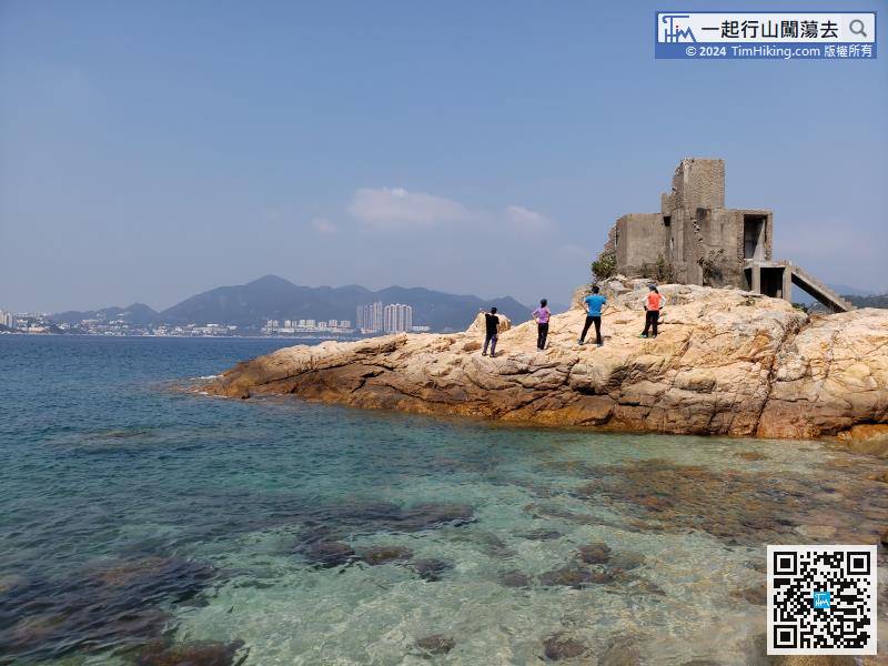 32︰After the supply is complete, continue along the wide road.
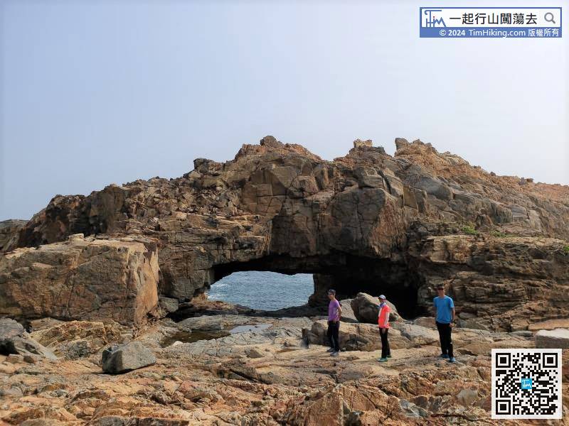
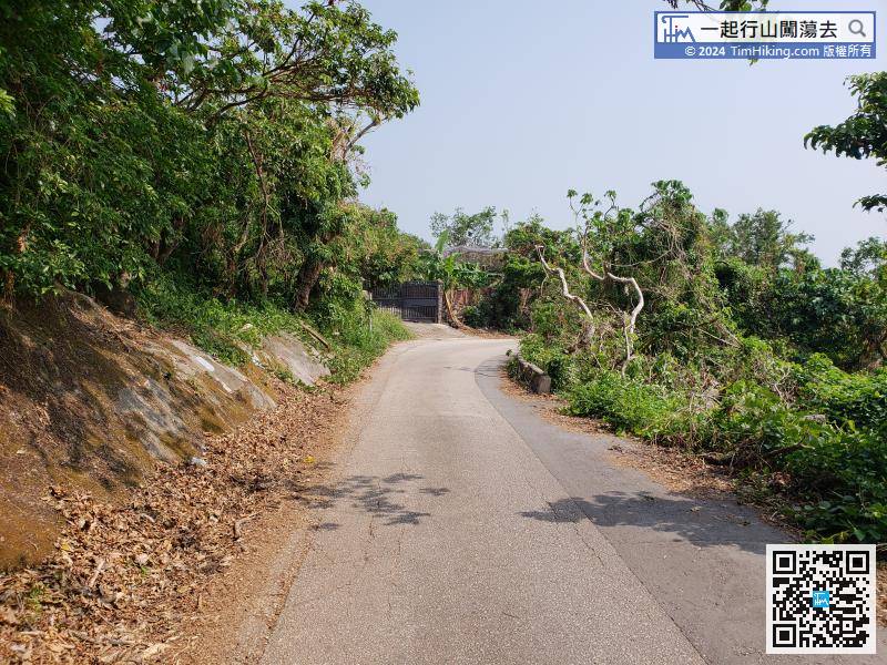 42︰There is a small bunker on the left side of the fort. The inside is ruined and it is not suitable to enter.
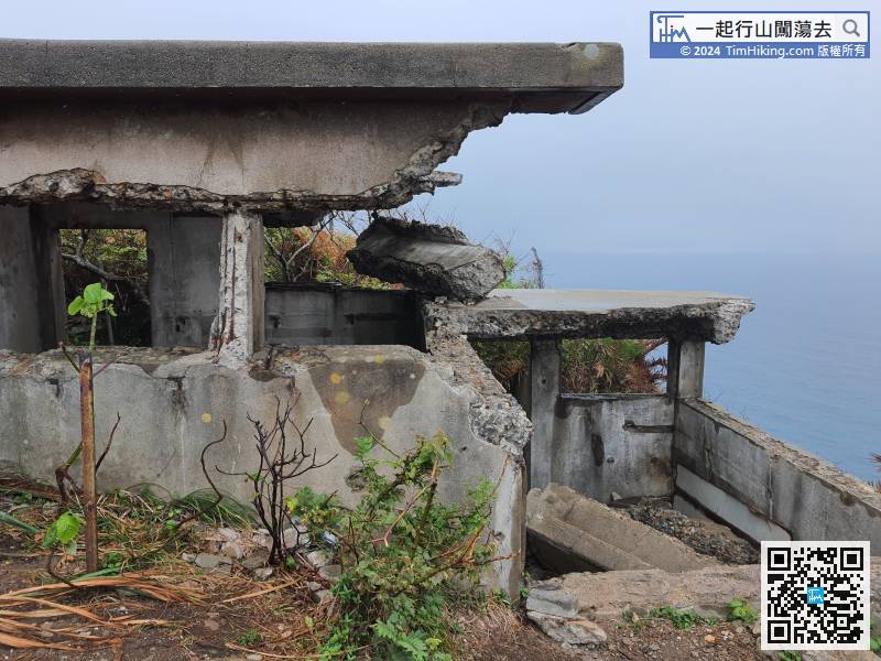
There is a small bunker on the left side of the fort. The inside is ruined and it is not suitable to enter.
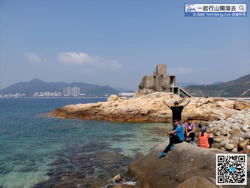
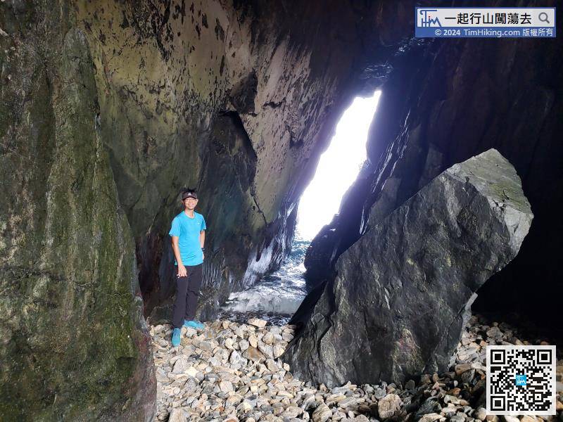
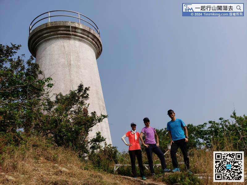
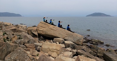
53︰will see Cape D'Aguilar Crab Hole.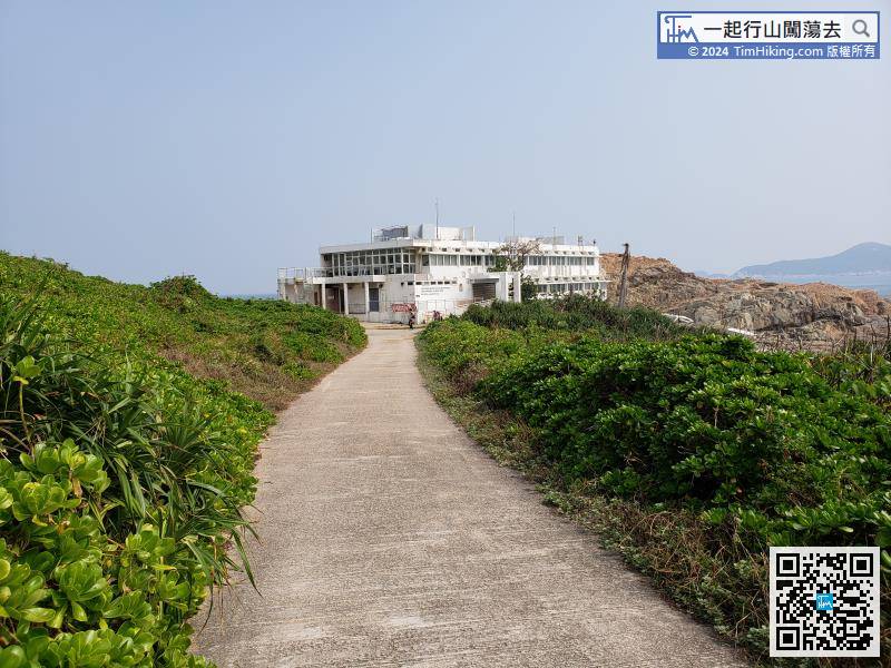
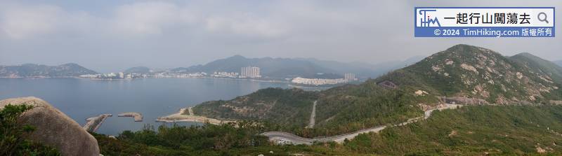
When arriving at Cape D'Aguilar Marine, will first see the Swire Institute of Marine Science, University of Hong Kong.


