


 Recommend YouTube


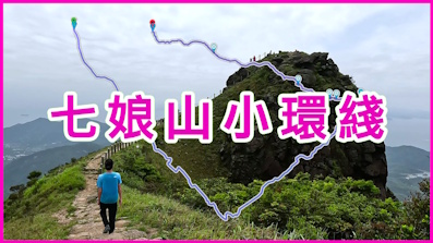
| View : |  | ||
| Difficulty : |  | ||
| Path : | |||
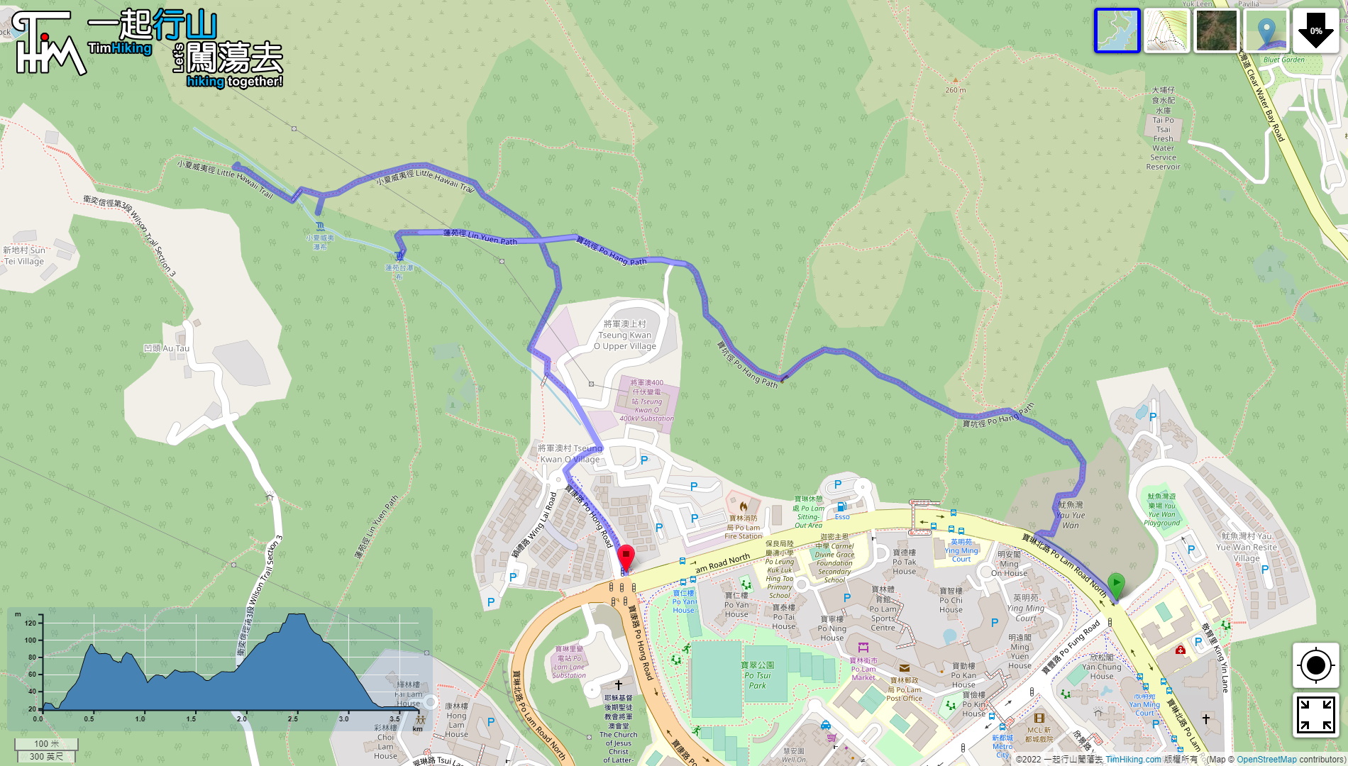
| Length : | 3.7km | ||
| Time : | 1½hours | ||
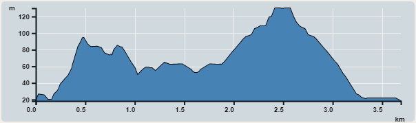 | |
| Ascent : 288m | Descent : 211m |
| Max : 130m | Min : 18m |
| (The accuracy of elevation is +/-30m) | |


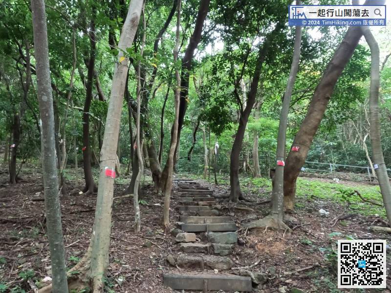
Start going up the hill along the steps, this road leads to the University of Science and Technology, Razor Hill, Tseng Lan Shue and Tsui Lam Estate.
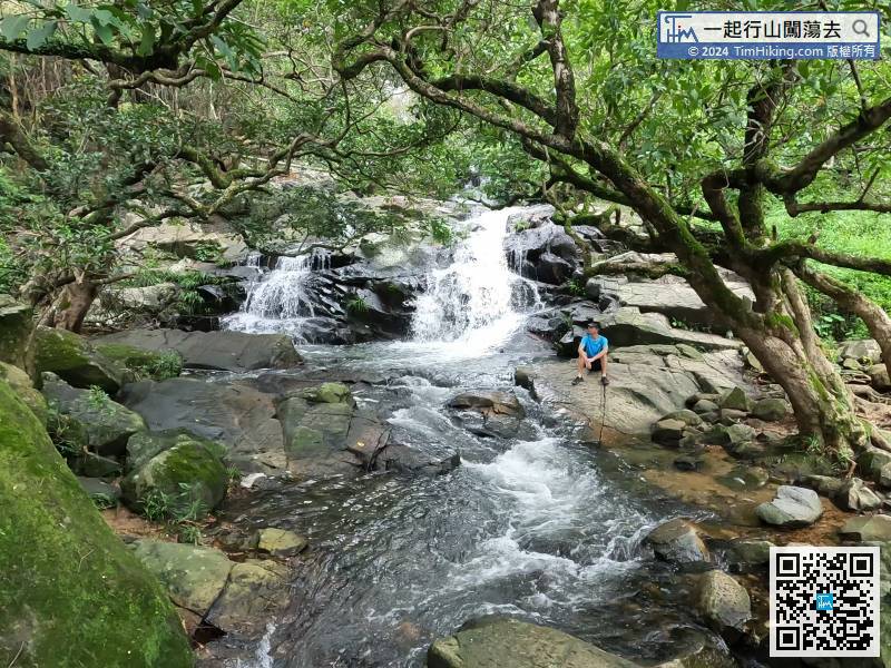
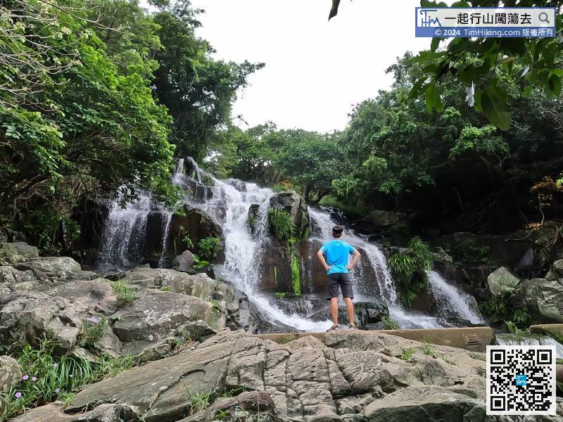
This is the downstream of Lin Yuen Toi Falls. The stream flows turbulently along the stream, which is very magnificent.
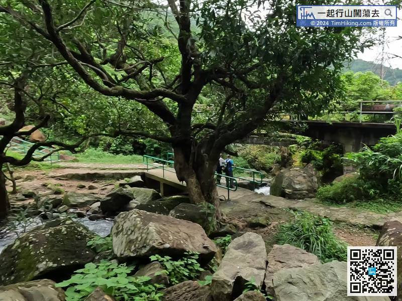
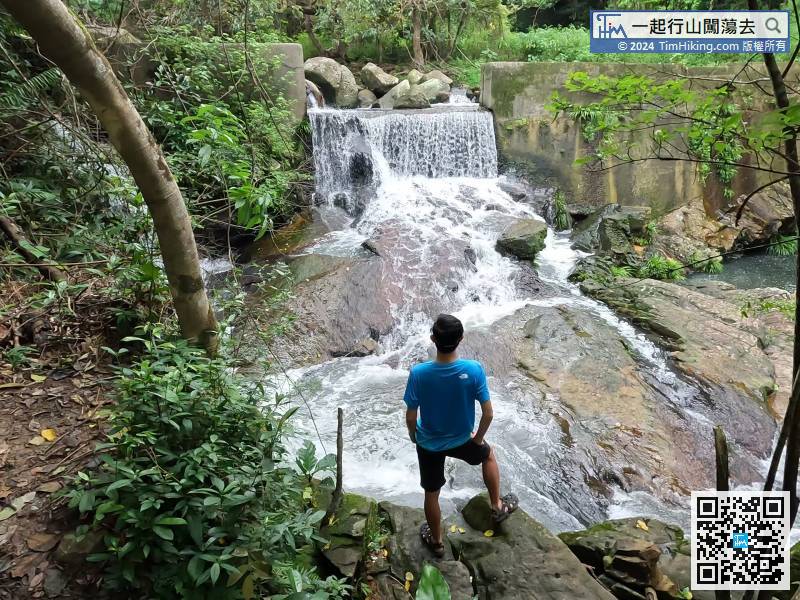
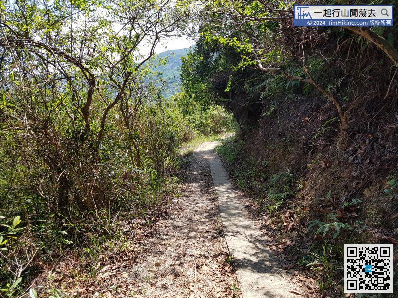
After watching Lin Yuen Toi Falls, carefully climb back to the small bridge,
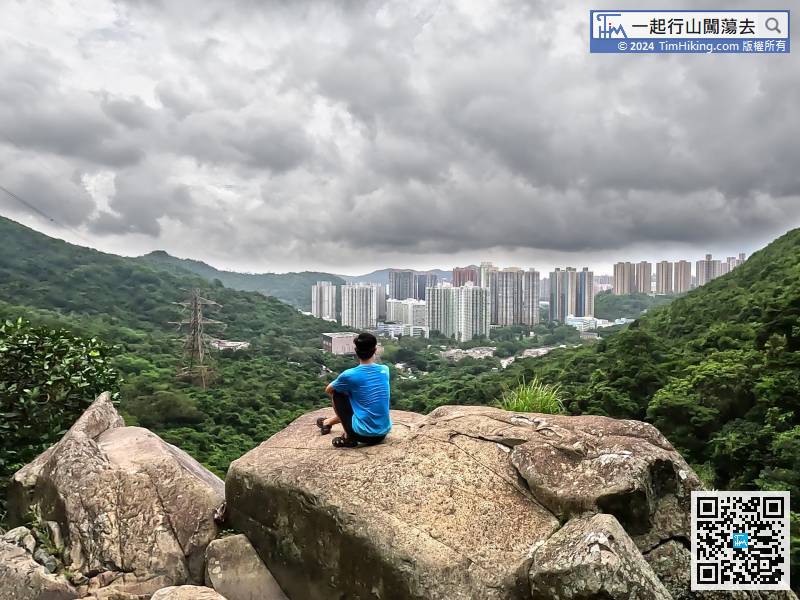
 40︰most people thought this was the location of Little Hawaii Falls.
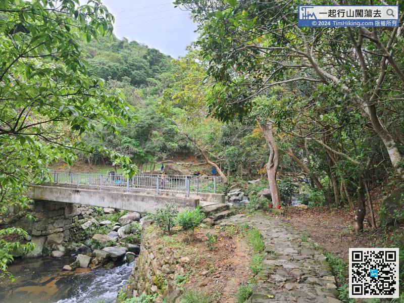
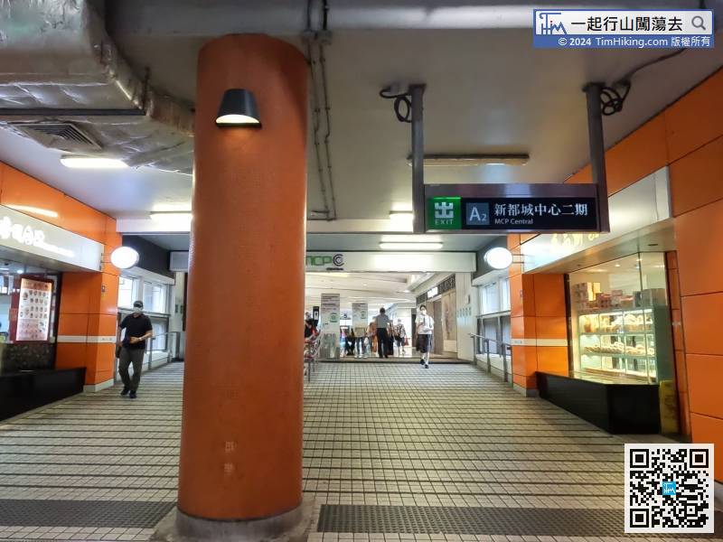
If returning to Tseung Kwan O, cross the Ching Ping Bridge again,


