


 Recommend YouTube


| View : |  | ||
| Difficulty : |  | ||
 (Pak Shui Wun only) | |||
| Path : | |||
| Length : | 3.9km | ||
| Time : | 2hours | ||
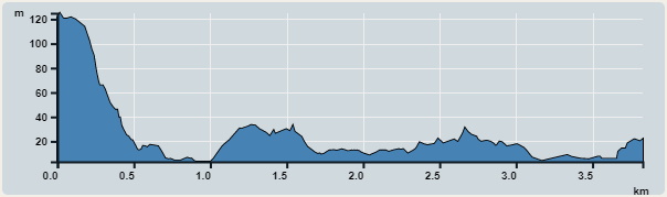 | |
| Ascent : 132m | Descent : 239m |
| Max : 125m | Min : 3m |
| (The accuracy of elevation is +/-30m) | |


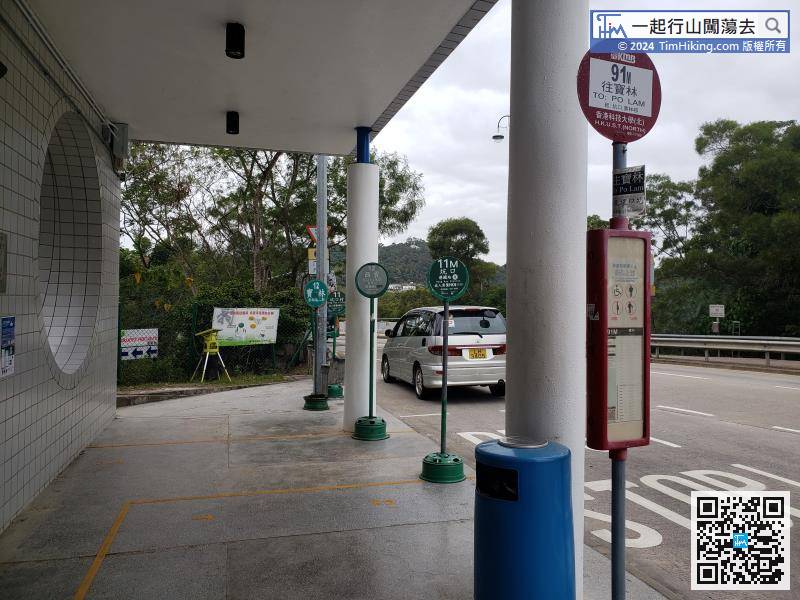
The starting point is near the HKUST North Gate. There are many buses and minibuses that can be reached. Hikers must pay attention to the direction of the bus and whether there is a bus stop at the North Gate.
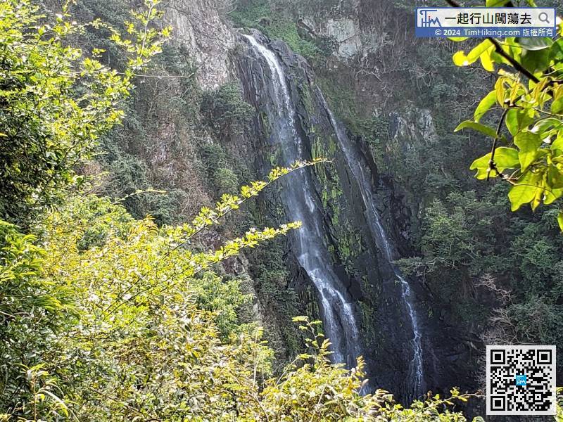
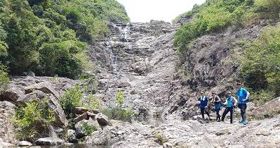
 9︰About 20 meters ahead, will see Pak Shui Wun Waterfall on the left.
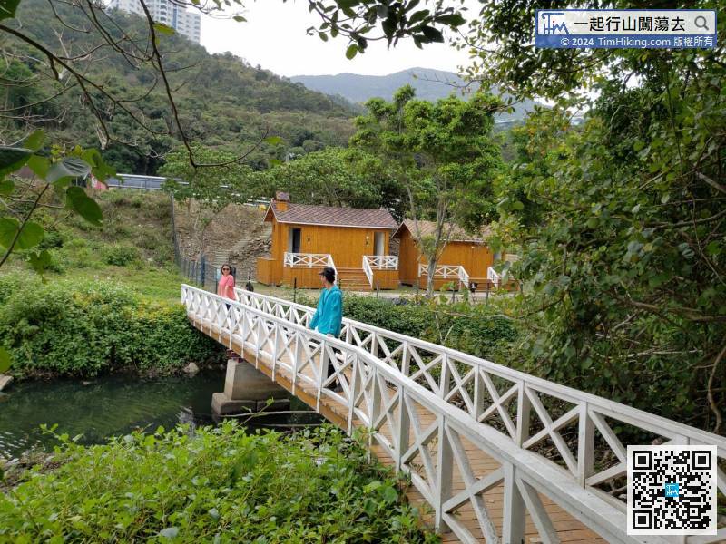
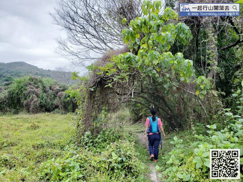
 25︰The White Wooden Bridge is a very beautiful shooting spot with a strong rural style.
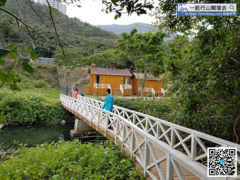
The White Wooden Bridge is a very beautiful shooting spot with a strong rural style.
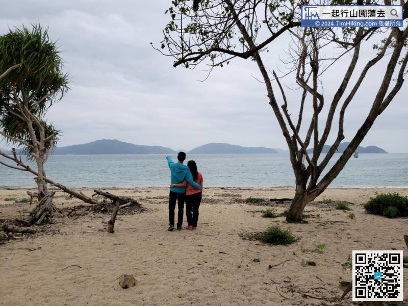
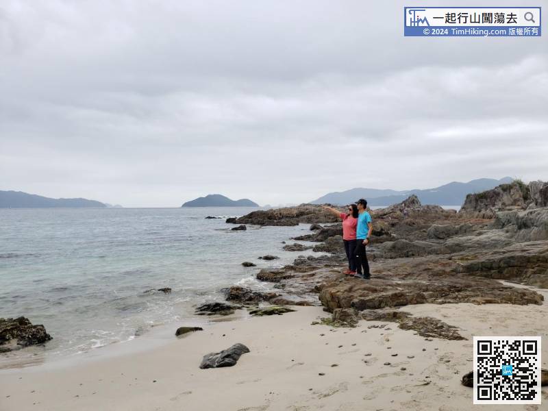
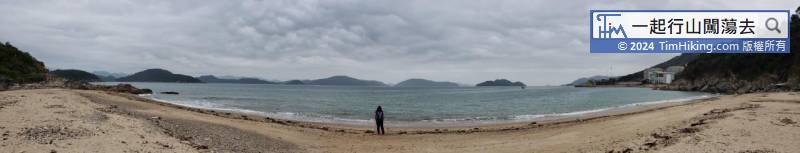
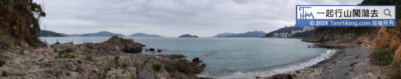
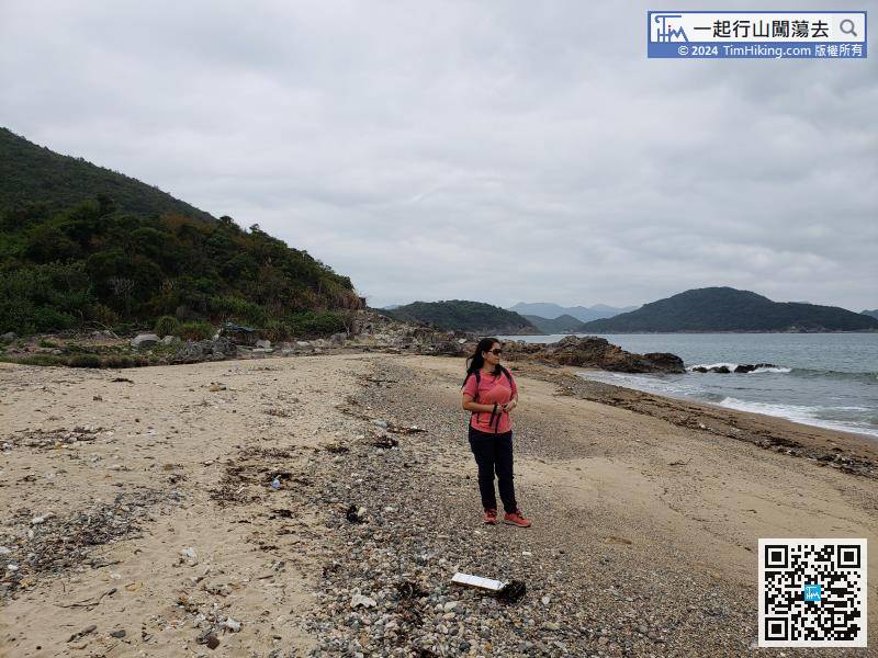
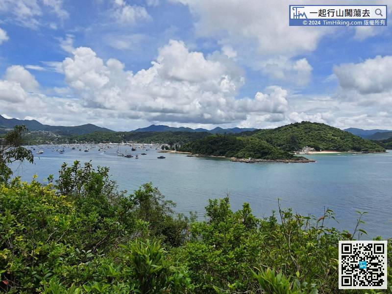
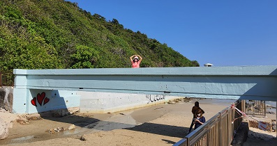
 41︰The scenery is good, there are sandy beaches on both sides,


