


 Recommend YouTube


| View : |  | ||
| Difficulty : |  | ||
| Path : | |||
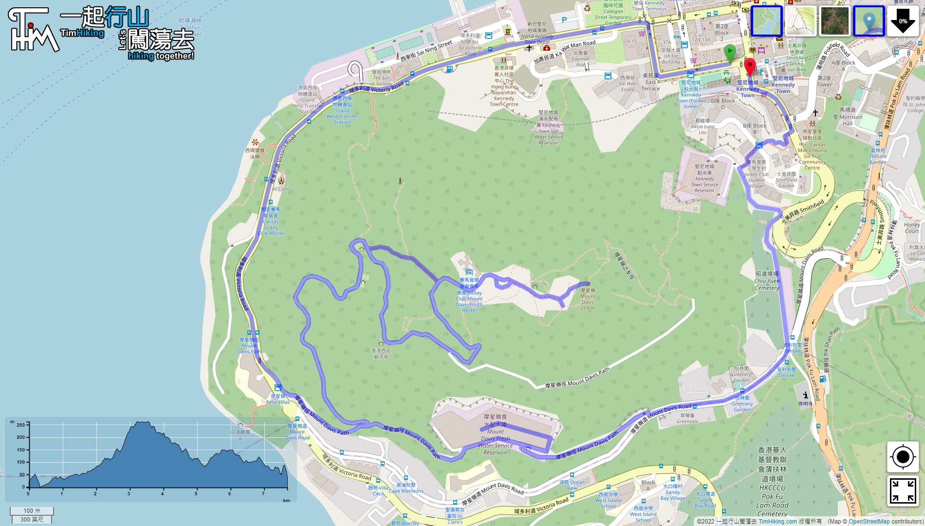
| Length : | 7.8km | ||
| Time : | 1¼hours | ||
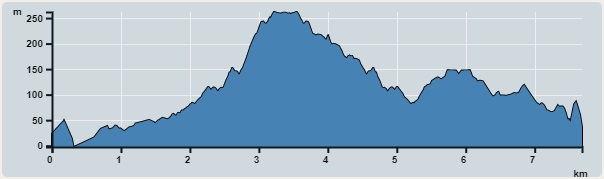 | |
| Ascent : 635m | Descent : 631m |
| Max : 262m | Min : 0m |
| (The accuracy of elevation is +/-30m) | |


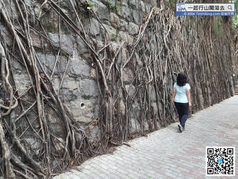
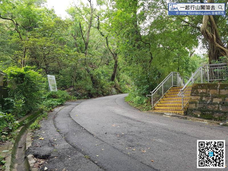
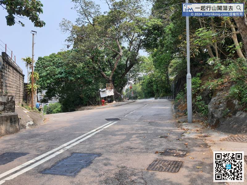
Take the MTR to Kennedy Town, turn left at Exit C, and you will see the Stone Wall Tree,
 12︰then turn left and join the Mount Davis Path.
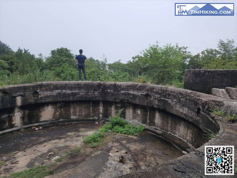
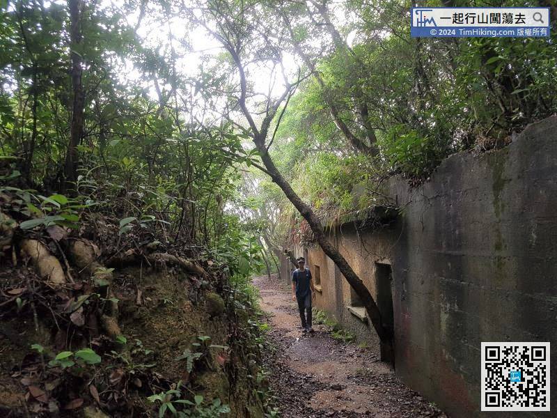
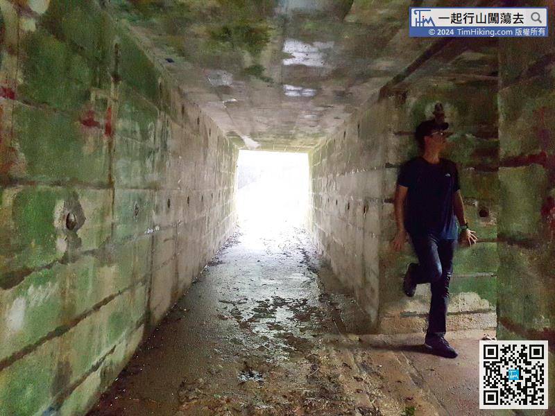
 25︰The fort is very large, it looks similar to the fort of Devil's Peak,
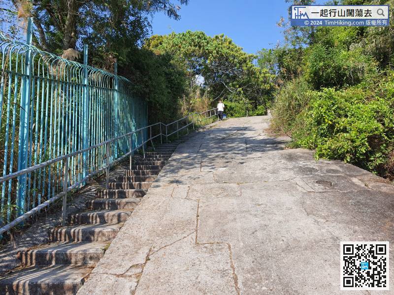 35︰will find the Mount Davis Trigonometrical Station.
 45︰Keep left at the pavilion,
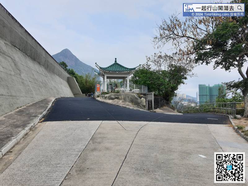
In fact, it is only 1.6km away from the Kennedy Town Station. In the small bifurcation, keep to the left to downhill. After passing through the cemetery, come to the gate of the Kennedy Town Service Reservoir, and continue down the concrete steps on the right to reach Kennedy Town Station.


