


 Recommend YouTube


| View : |  | ||
| Difficulty : |  | ||
| Path : | |||
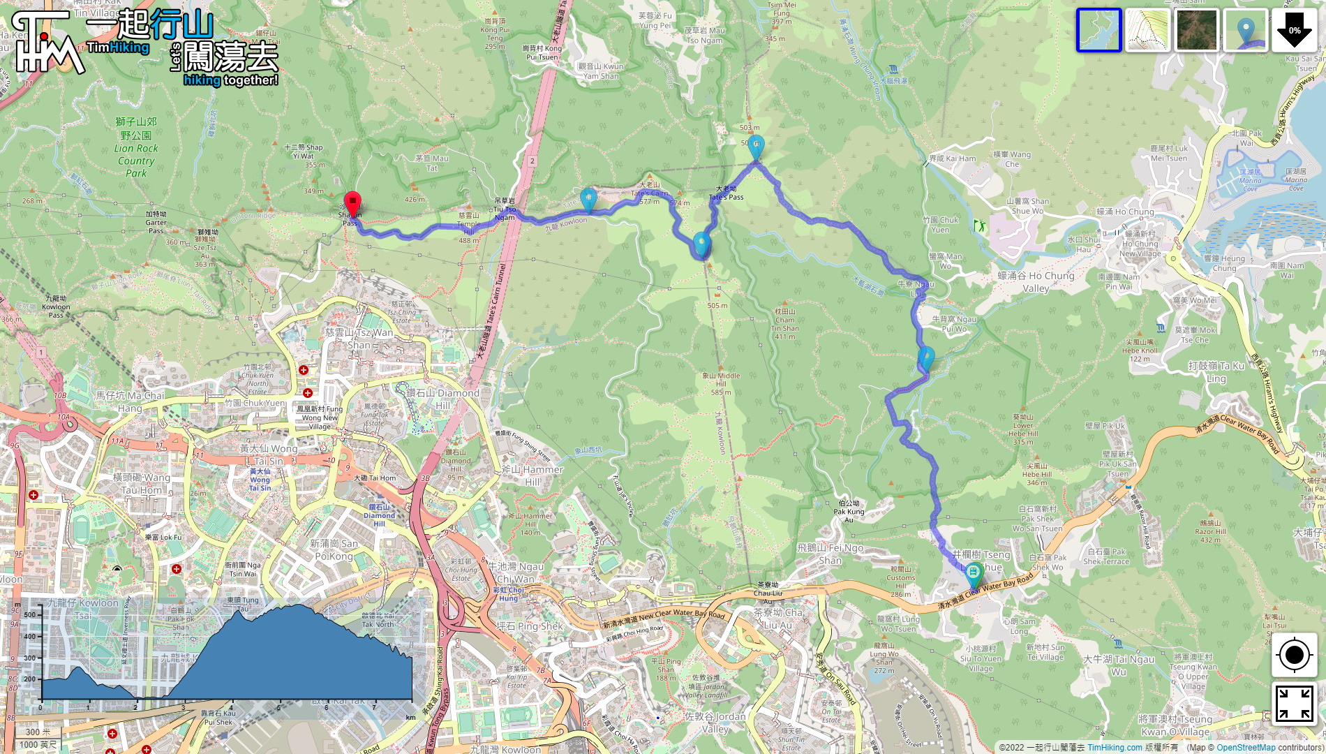
| Length : | 7.8km | ||
| Time : | 3hours | ||
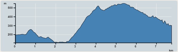 | |
| Ascent : 737m | Descent : 630m |
| Max : 548m | Min : 108m |
| (The accuracy of elevation is +/-30m) | |


 6︰In front of the trail, there is a bulletin board on the map,
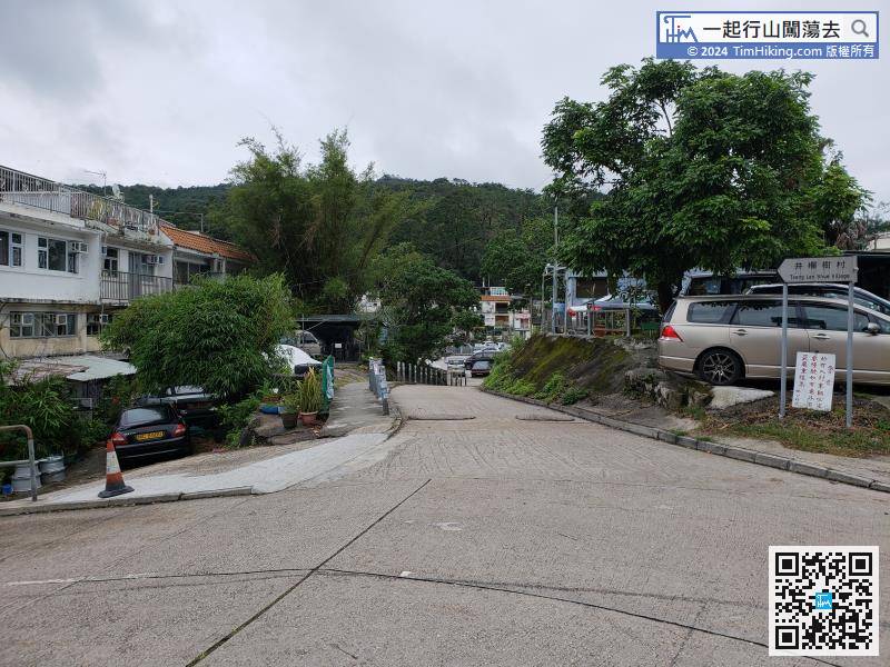 13︰continue along the Wilson Trail.
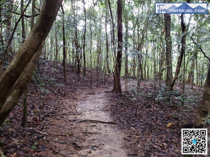
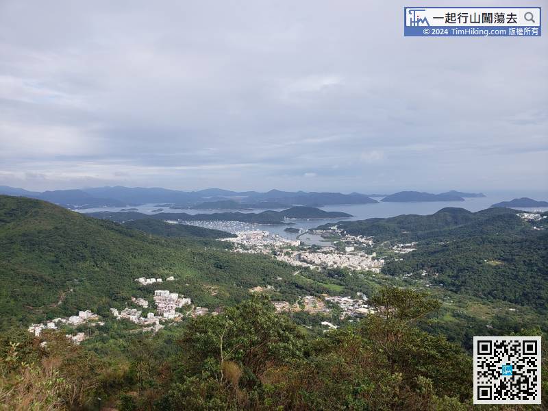
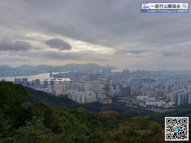
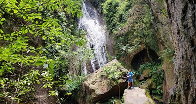
Walking between the mountains and forests, there are plenty of trees, even in the hot summer.
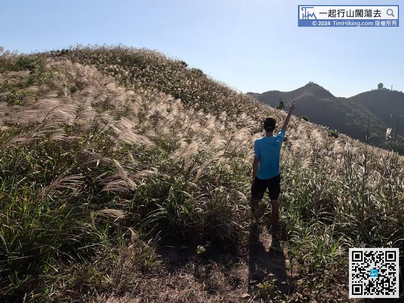
23︰At the bifurcated road, have to leave the easier concrete road,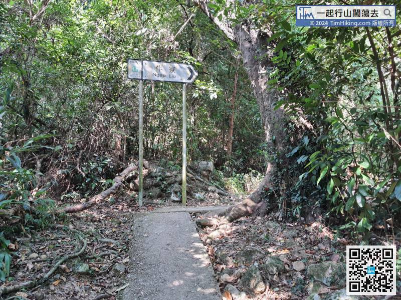 32︰keep to the right on the new road Tung Yeung Shan.
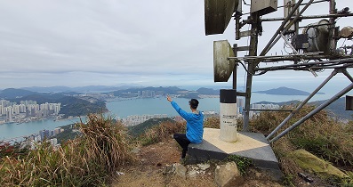
Official Map


