


 Recommend YouTube


| View : |  | ||
| Difficulty : |  | ||
| Path : | |||
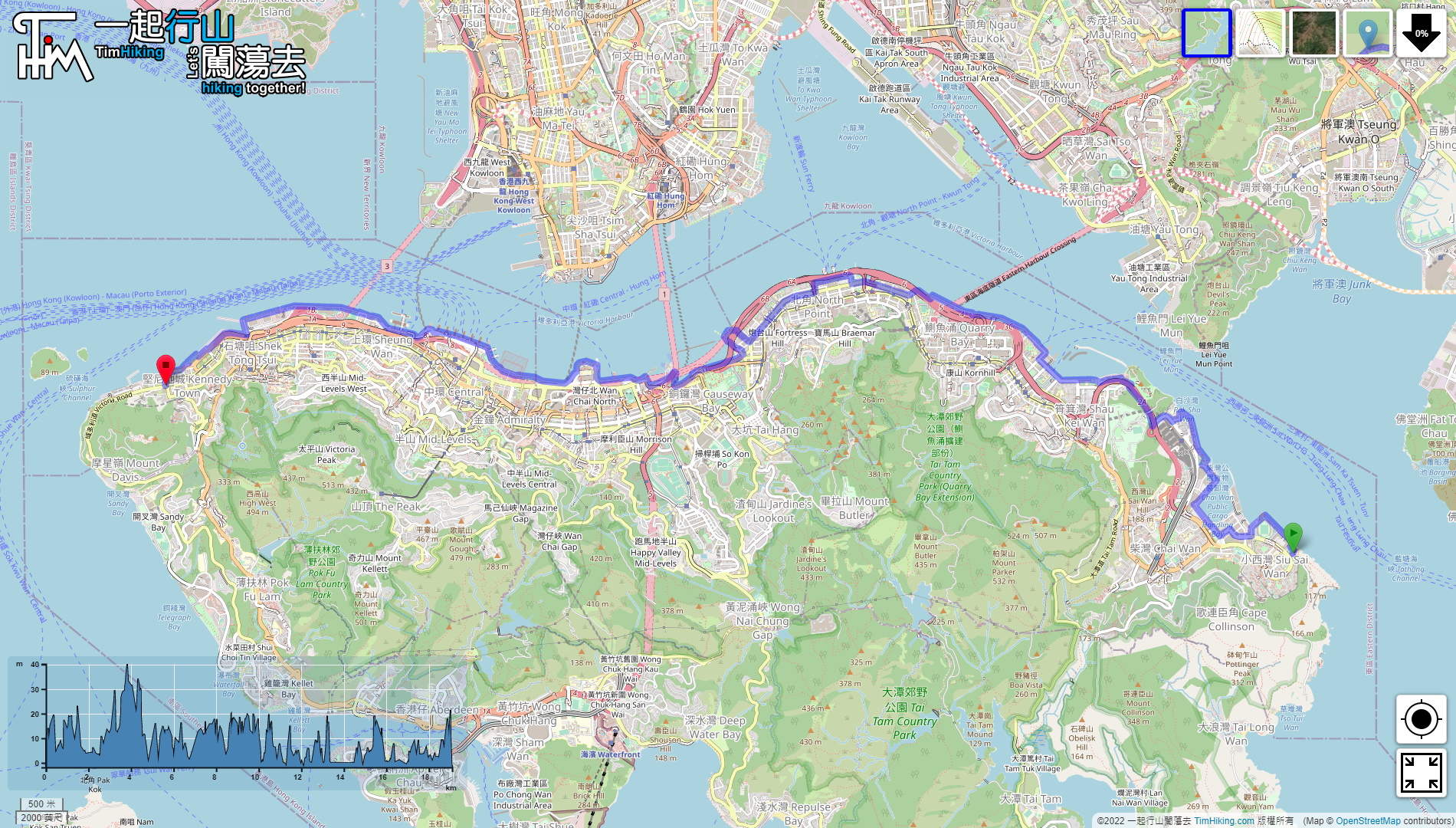
| Length : | 19.1km | ||
| Time : | 5hours | ||
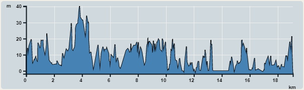 | |
| Ascent : 766m | Descent : 754m |
| Max : 40m | Min : 0m |
| (The accuracy of elevation is +/-30m) | |


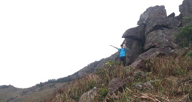
 28︰look for a step next to the aqueduct,
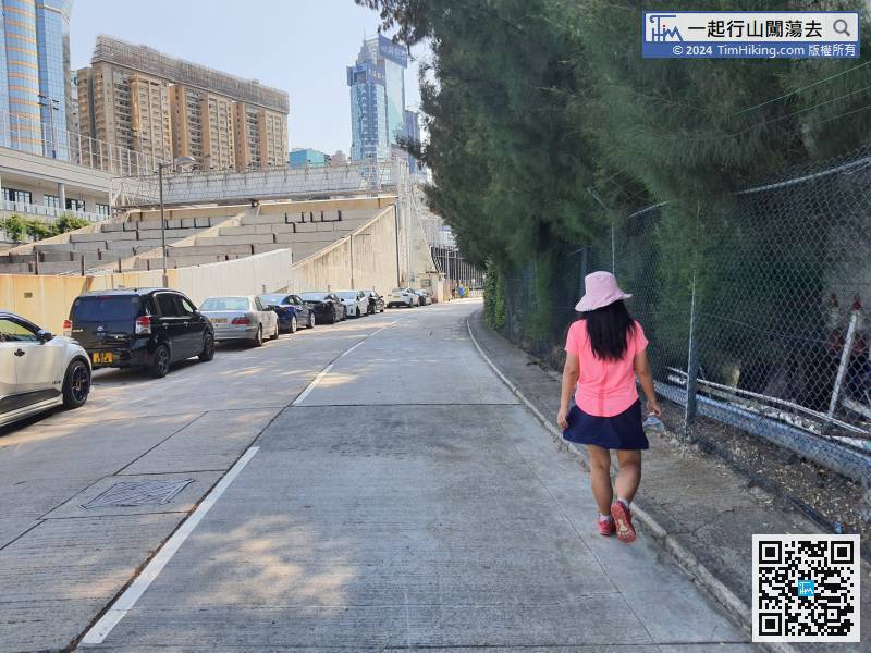
In front of Lingnan Secondary School, turn left and take the small steps,
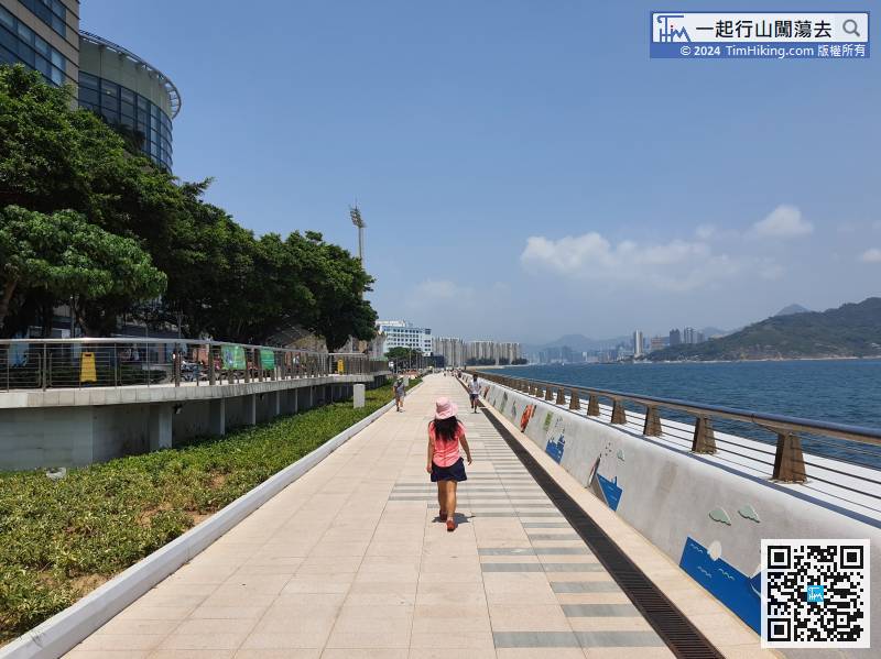
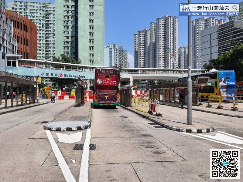
After about 10 minutes, will pass the Grand Promenade Bus Terminus,
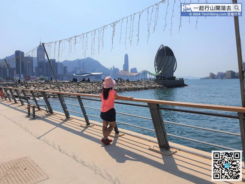
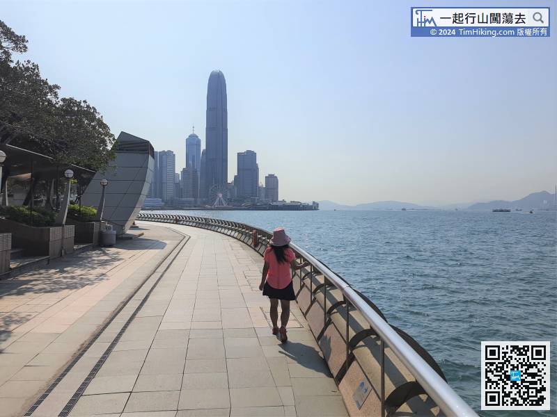
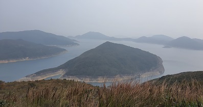
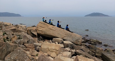
60︰The most striking is of course the 100-meter-long breakwater,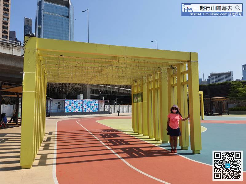
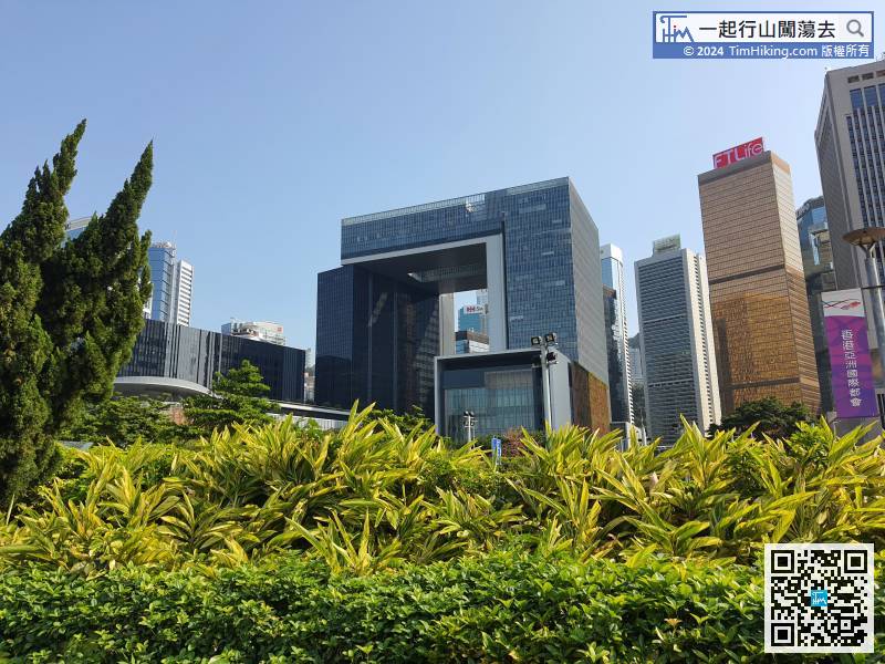
After passing the Central Government Offices,


