


 YouTube 隨 機 推 介

| 景觀︰ |  | ||
| 難度︰ |  | ||
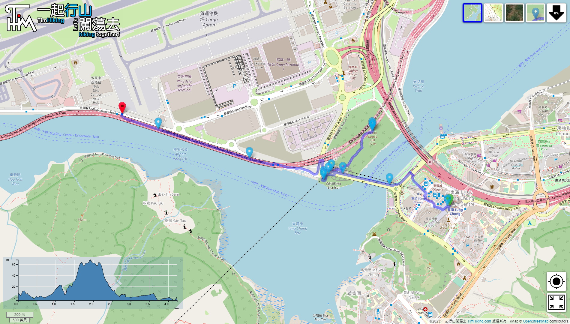
| 路線︰ | |||
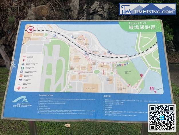
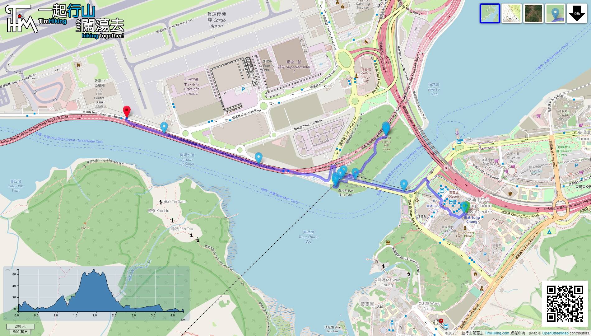
| 全長︰ | 4.3公里 | 需時︰ | 2小時 |
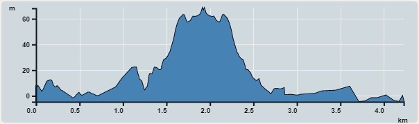 | |
| 攀升︰160米 | 下降︰178米 |
| 最高︰68米 | 最低︰0米 |
| (海拔高度值只供參考 誤差約是30米內) | |


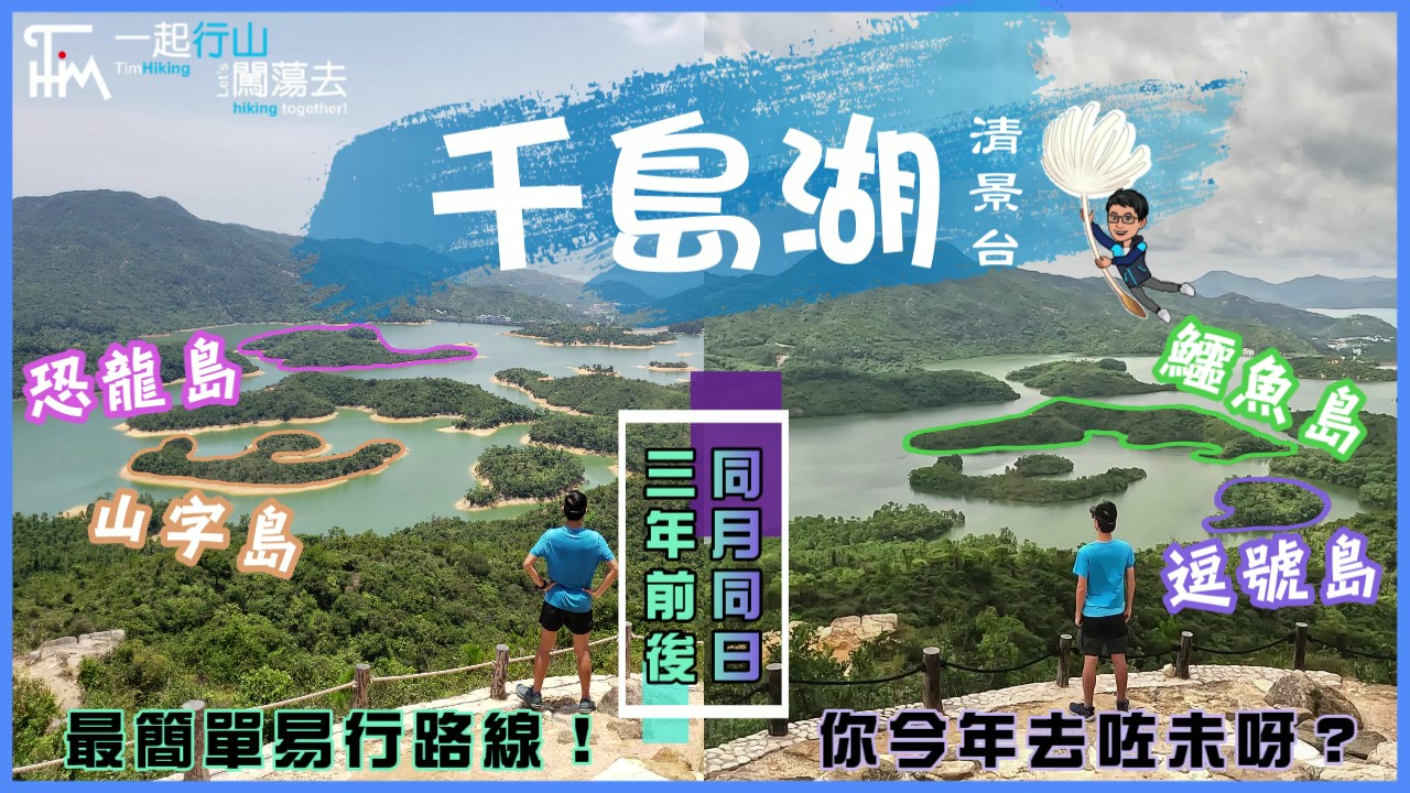
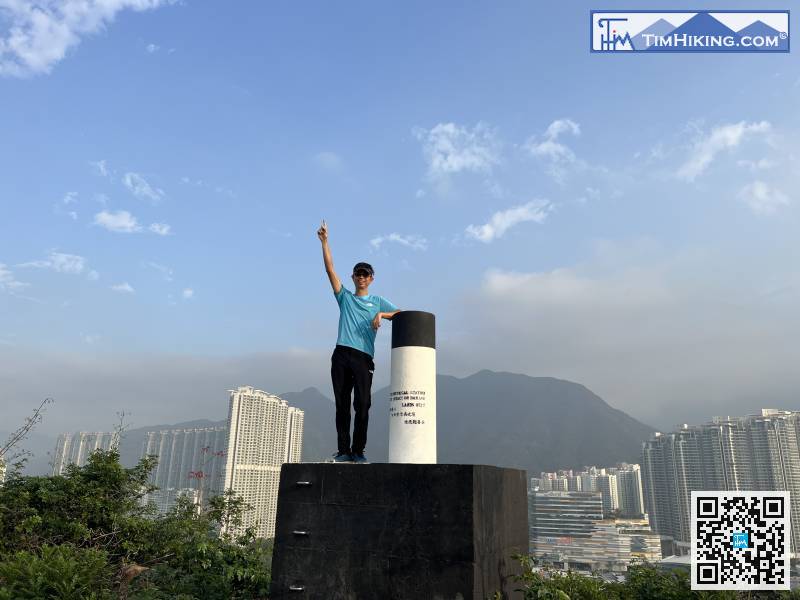
 36︰行到盡頭,先會見到觀景山的標高柱,
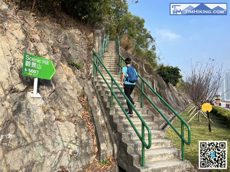 39︰山頂雖矮小,但非常開揚,四周無遮擋,基本上擁有360度景觀,
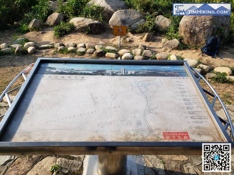

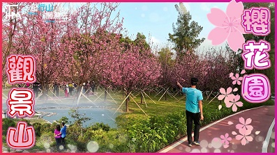
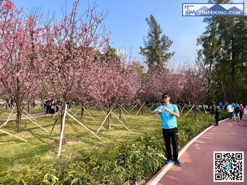
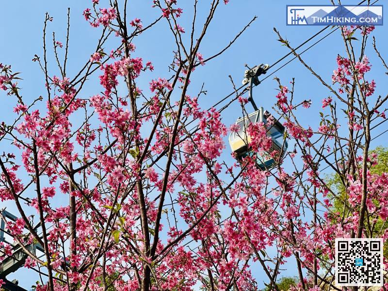
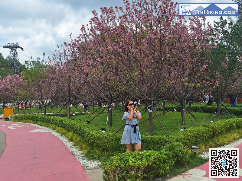
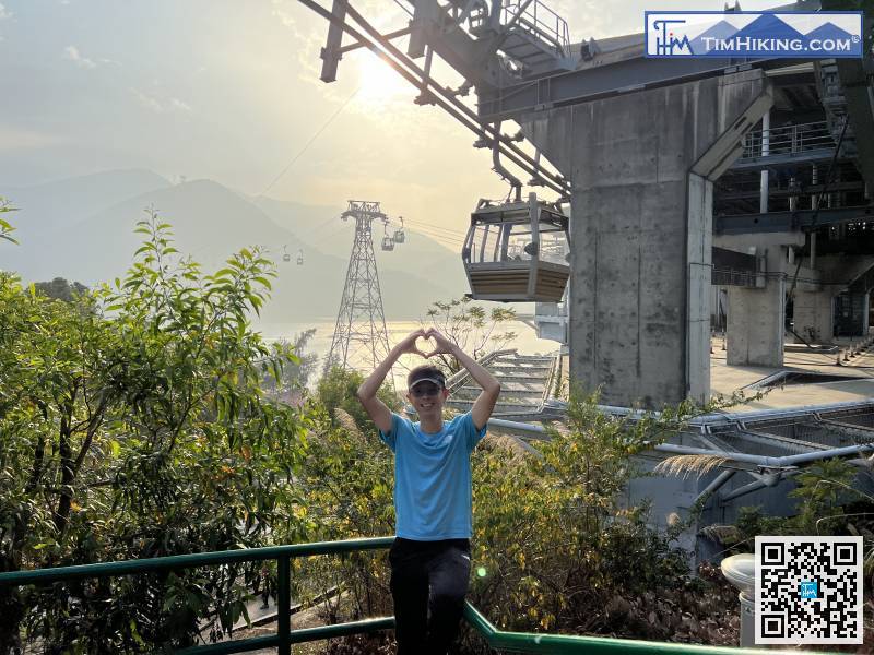
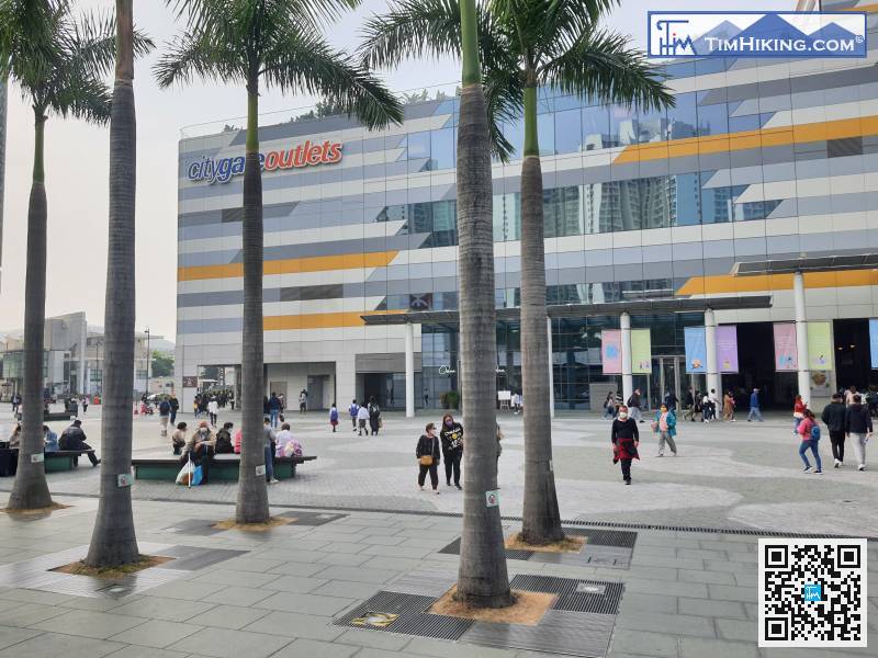
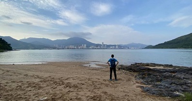
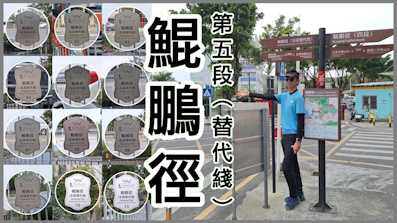
 櫻花海岸 觀景山
| 景觀︰ | | ||
| 難度︰ | | ||
| 路線︰ | |||
| 全長︰ | 4.3公里 | 需時︰ | 2小時 |
| |
| 攀升︰160米 | 下降︰178米 |
| 最高︰68米 | 最低︰0米 |
| (海拔高度值只供參考 誤差約是30米內) | |
36︰行到盡頭,先會見到觀景山的標高柱, 39︰山頂雖矮小,但非常開揚,四周無遮擋,基本上擁有360度景觀,


