


 YouTube 隨 機 推 介


| 景觀︰ |  | ||
| 難度︰ |  | ||
| 路線︰ | |||
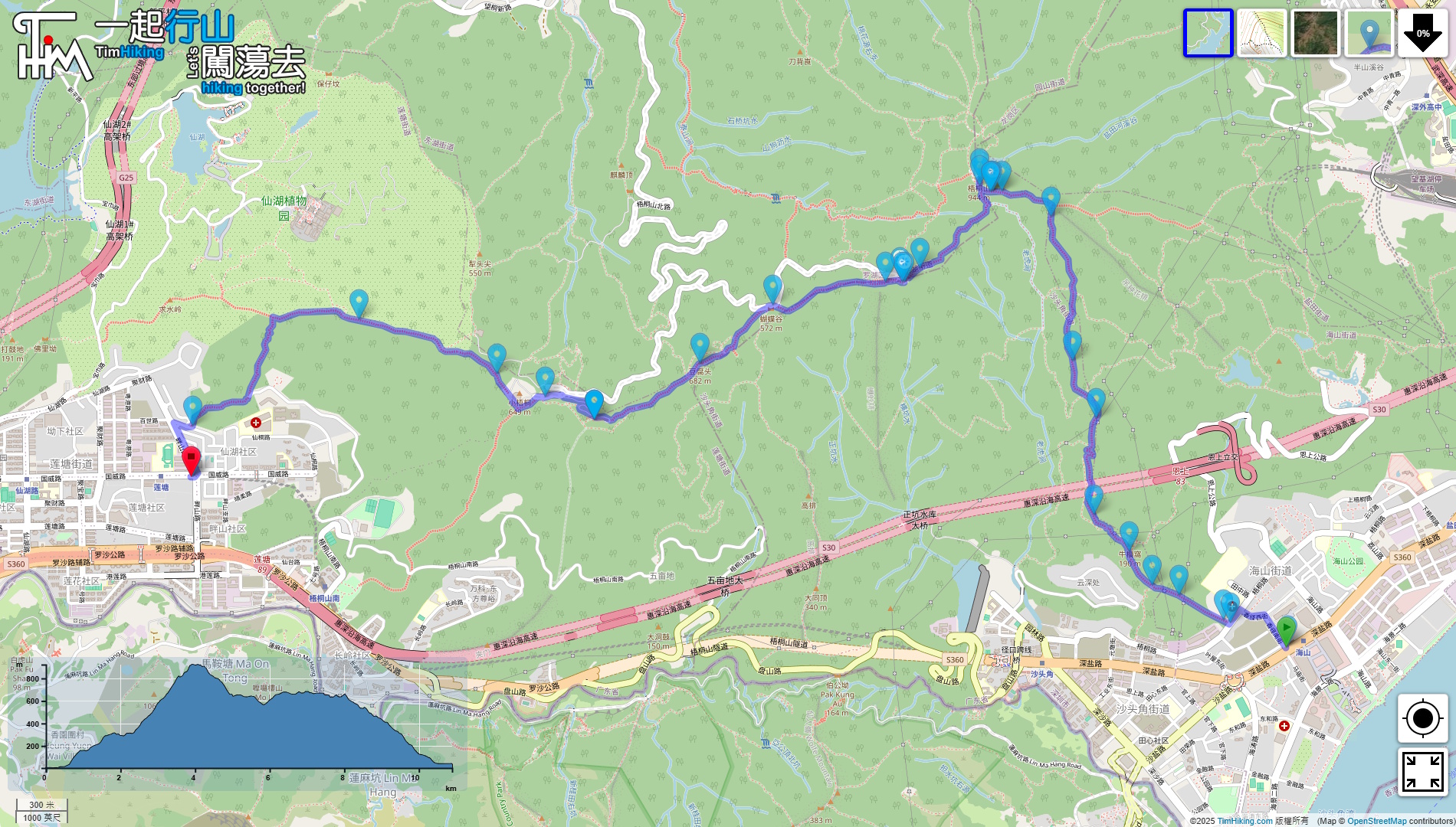
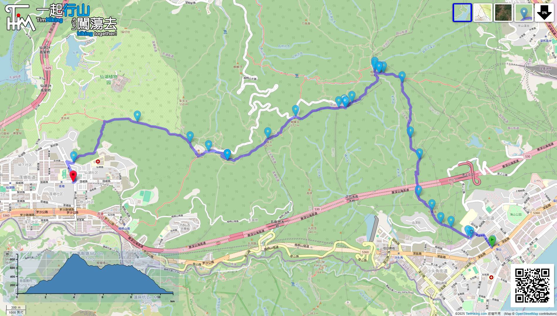
| 全長︰ | 10.9公里 | 需時︰ | 7½小時 |
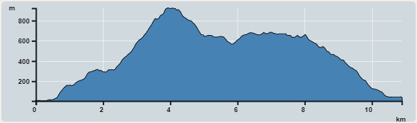 | |
| 攀升︰1,365米 | 下降︰1,232米 |
| 最高︰923米 | 最低︰4米 |
| (海拔高度值只供參考 誤差約是30米內) | |


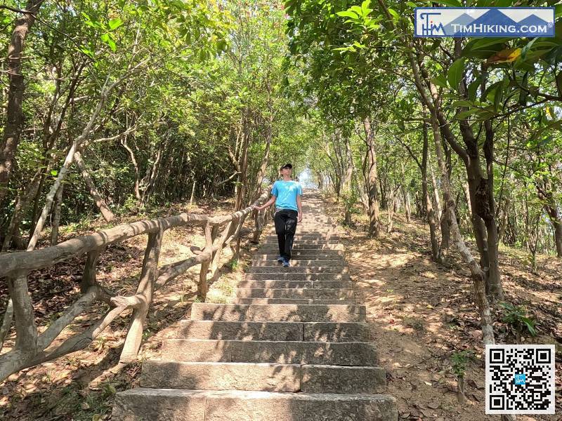
準備好便開始上山,
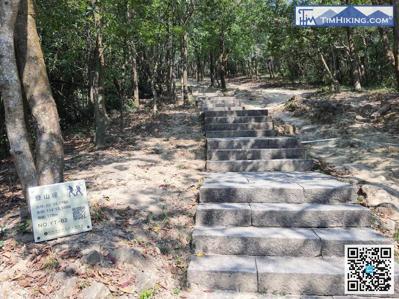
登山徑放有新的經緯度座標,
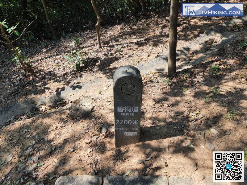
好了,來到上山這段的中間位置,里程牌2,200米。
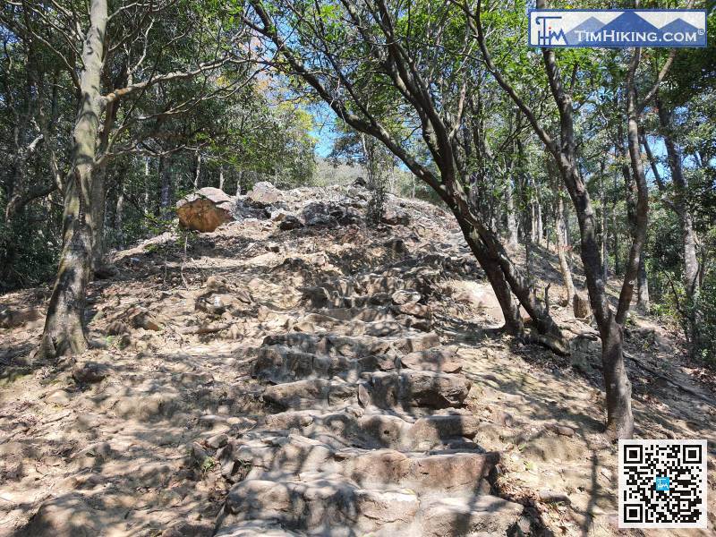
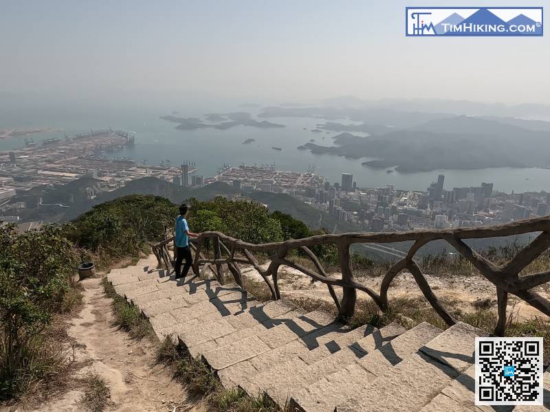
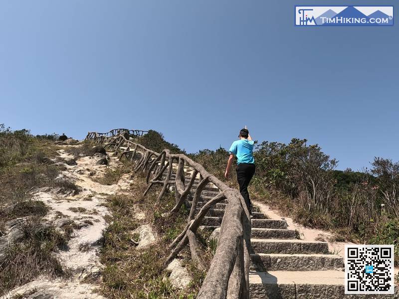
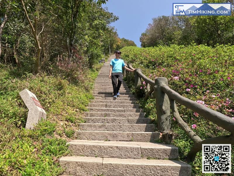
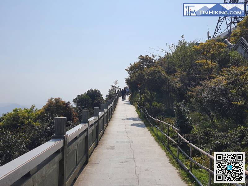
大石階梯越是陡斜,即是代表越快到達山頂。
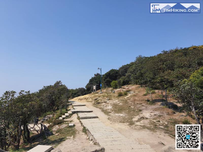
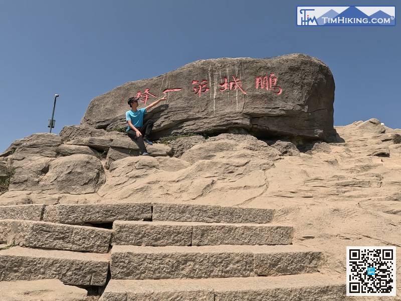
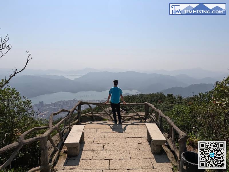
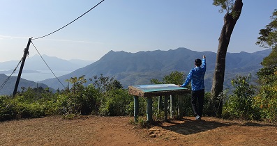
來到非常近山頂的平地,
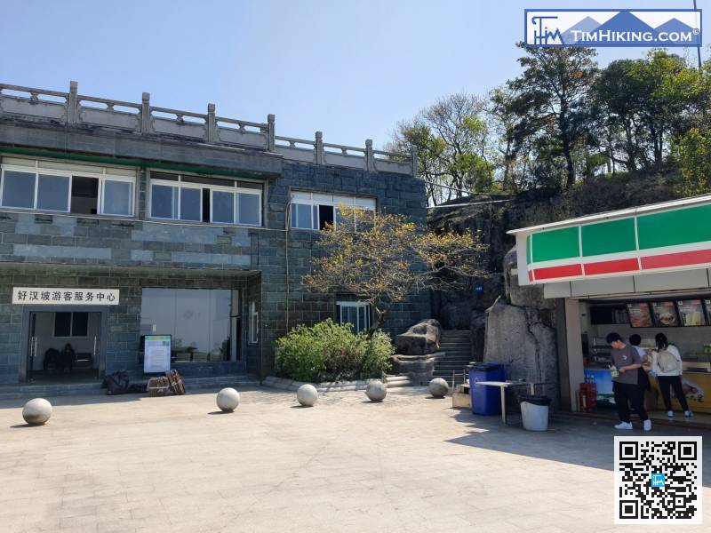
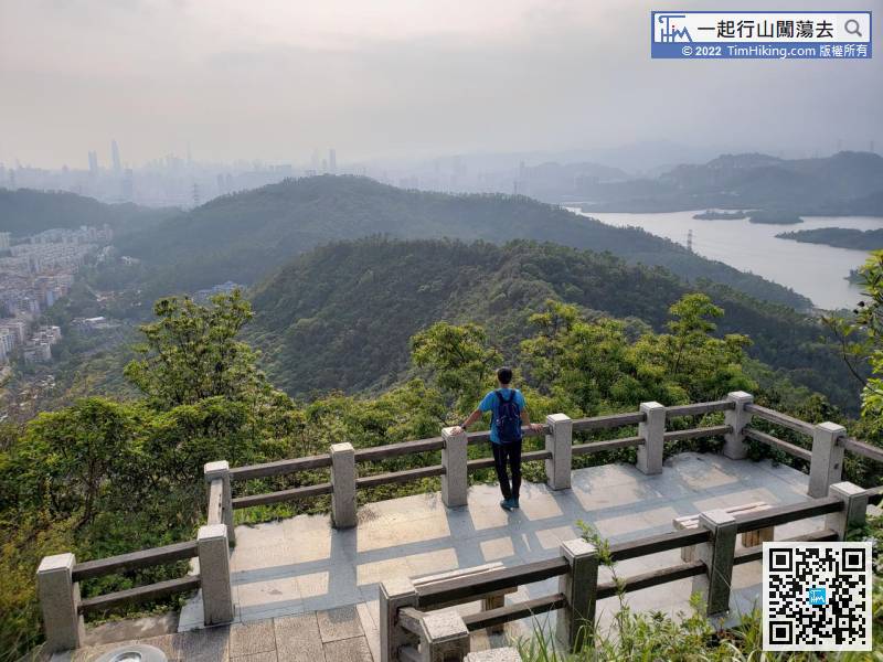
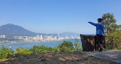
補充體力過後,就走到士多旁的小路,
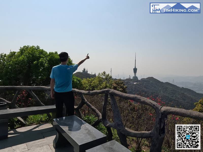
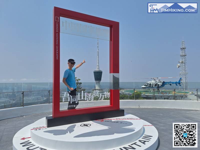
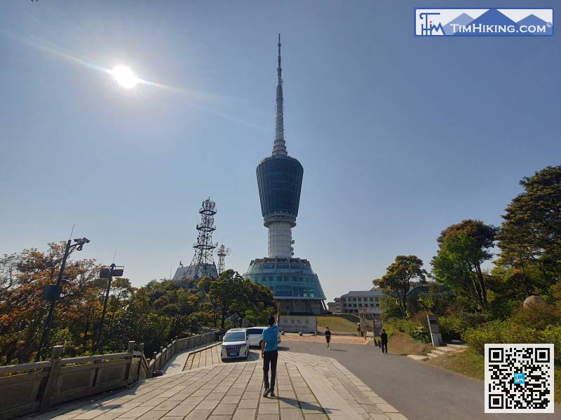
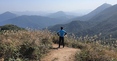
下一站就是位於小梧桐的電視塔,
接着從電視塔左邊離開,
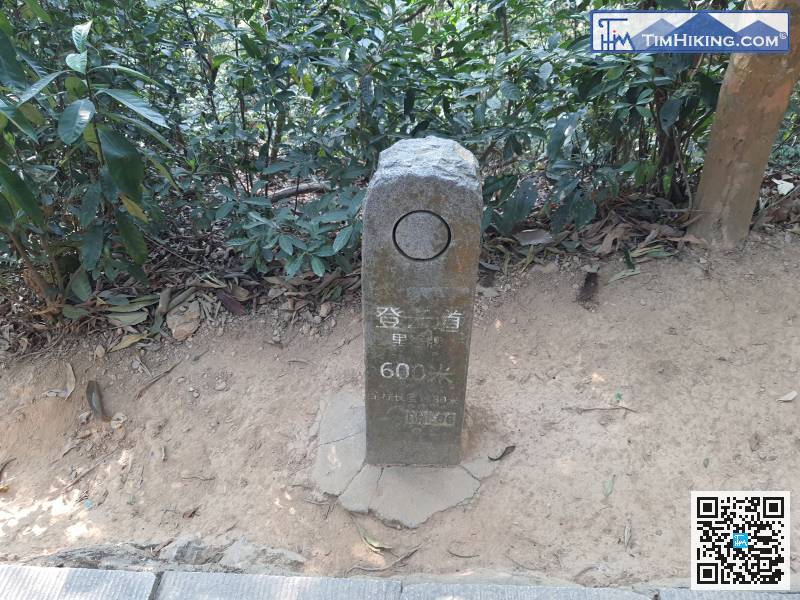
里程牌600米之後,


