


 Recommend YouTube


| View : |  | ||
| Difficulty : |  | ||
| Path : | |||
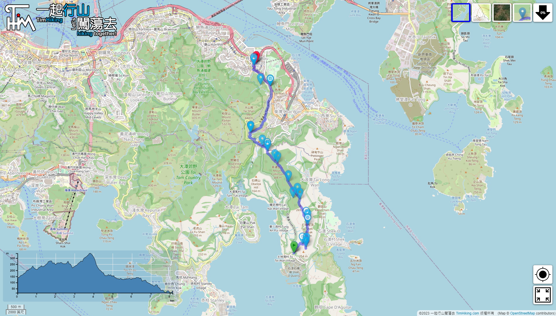
| Length : | 8.2km | ||
| Time : | 4hours | ||
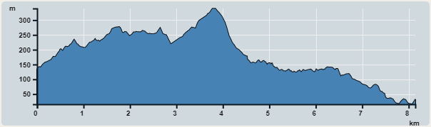 | |
| Ascent : 502m | Descent : 603m |
| Max : 339m | Min : 16m |
| (The accuracy of elevation is +/-30m) | |


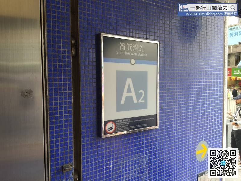
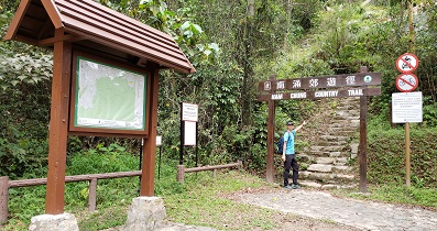
The starting point is at To Tei Wan. Hikers can take the MTR to Shau Kei Wan Station, and then leave at Exit A2.
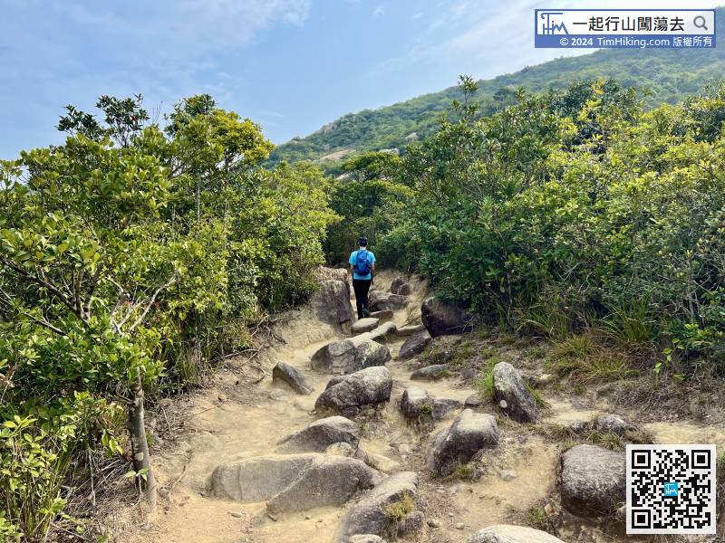
Afterwards, it is connected to the ordinary dirt trail.
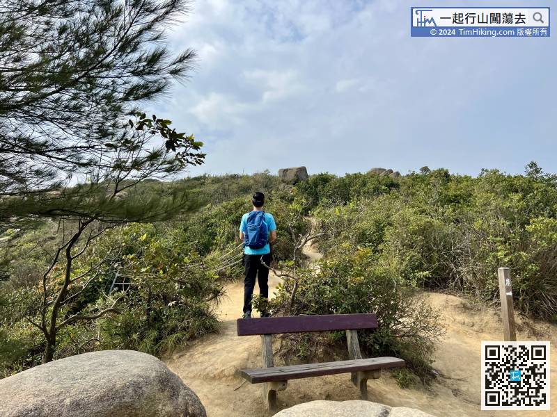
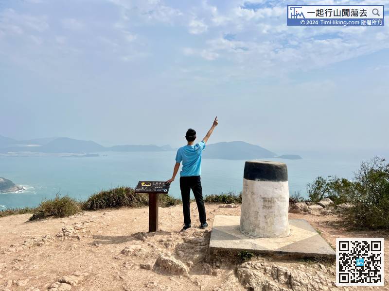
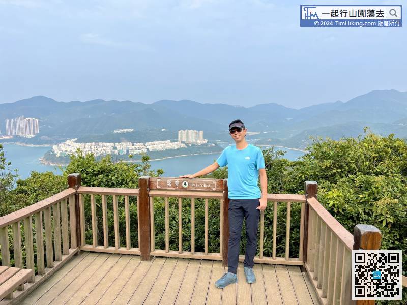
Leaving Hong Kong Trail for a while, turn right to the big rock slope to see the scenery,
Come to the position of distance post H087, there is another new Viewing Point,
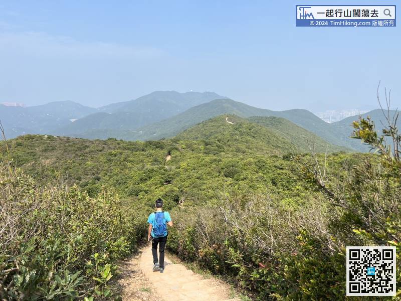
The next is a downward step, and the ridge in front of it is obviously lower than the other.
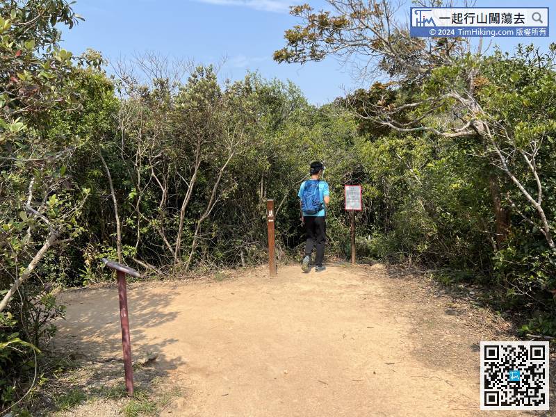
The route is to Wan Cham Shan, so we will enter the barren trail next to distance post H089.
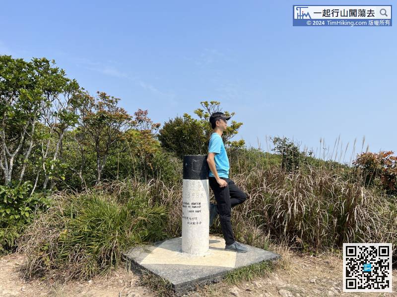
Mount Collinson has a Trigonometrical Station with an altitude of 348 meters. The scenery is not considered an open view,
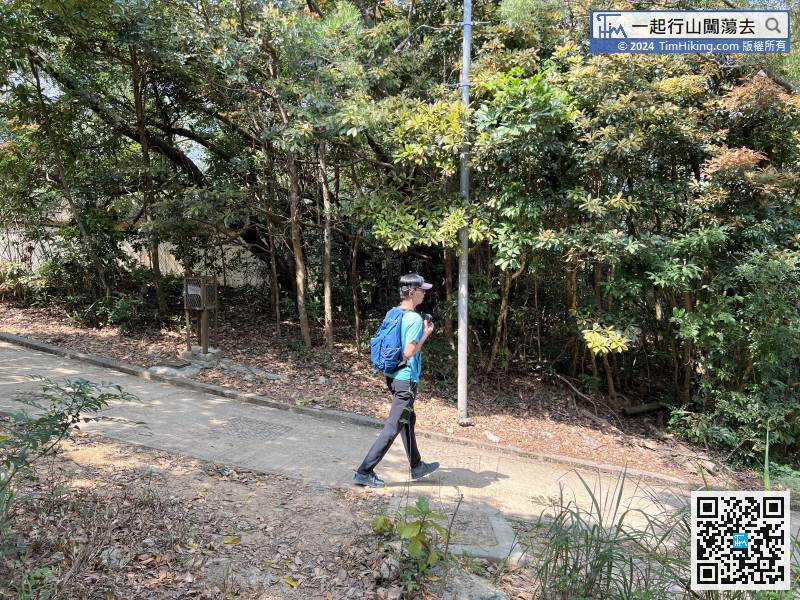
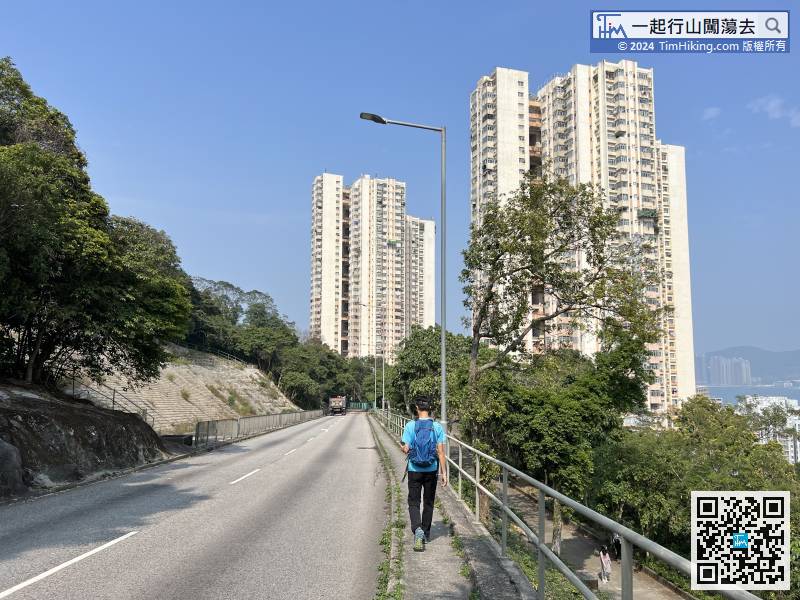
Keep to the right and continue downhill along the official route,
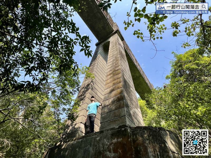
 124︰It is rumoured that the Japanese army killed here during the Japanese occupation period, coupled with the noisy sound from the Sai Wan water filtration station, it seems that there are ghosts crying at night, and the name of Ghost Bridge has been passed down among the people.
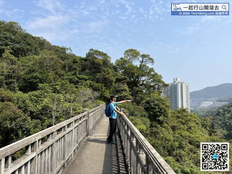
It is rumoured that the Japanese army killed here during the Japanese occupation period, coupled with the noisy sound from the Sai Wan water filtration station, it seems that there are ghosts crying at night, and the name of Ghost Bridge has been passed down among the people.


