


 Recommend YouTube


| View : |  | ||
| Difficulty : |  | ||
| Path : | |||
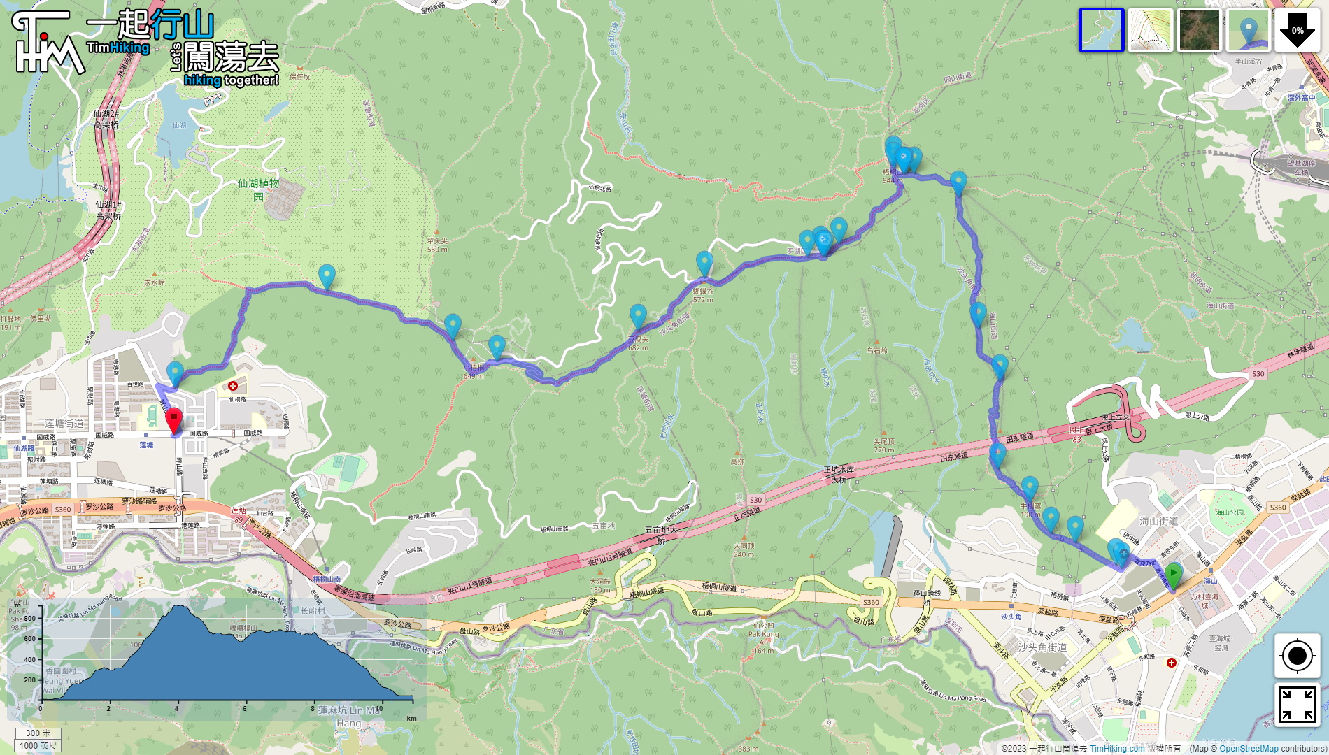
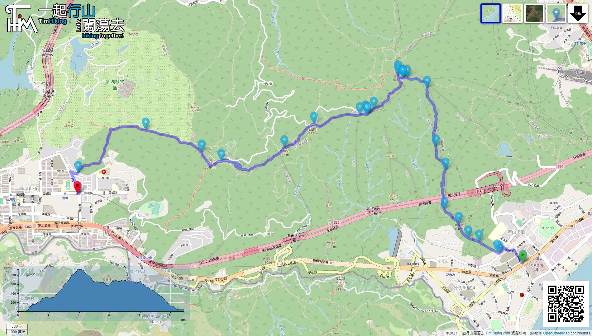
| Length : | 10.9km | ||
| Time : | 7½hours | ||
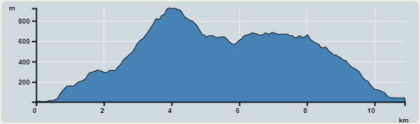 | |
| Ascent : 1,365m | Descent : 1,232m |
| Max : 923m | Min : 4m |
| (The accuracy of elevation is +/-30m) | |


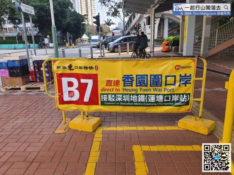
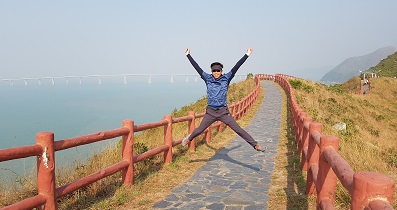
The starting point is very close to Sha Tau Kok. You can take the bus B7 at Fanling Station to Heung Yuen Wai Boundary Control Point. It takes 16 minutes which is very fast.
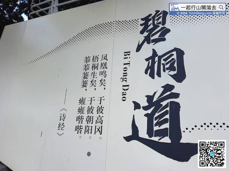
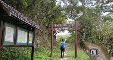
When you are ready, start going up the mountain
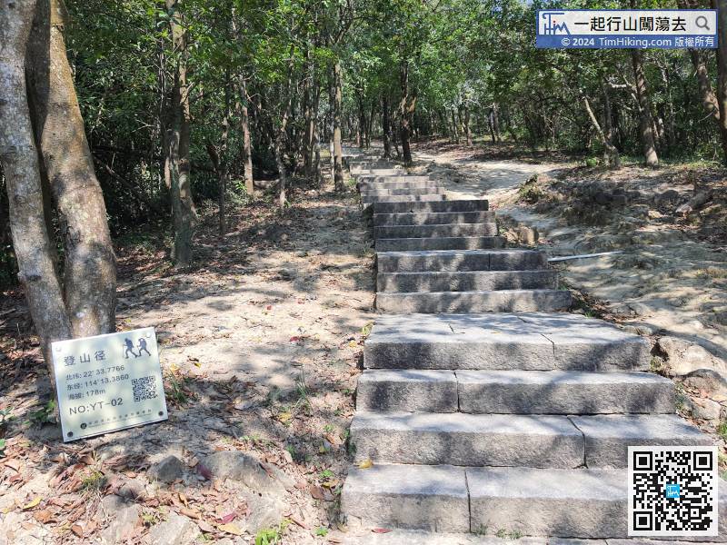
The hiking trail sign has latitude and longitude coordinates,
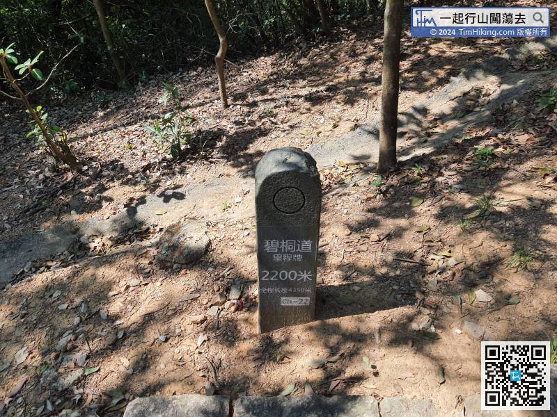
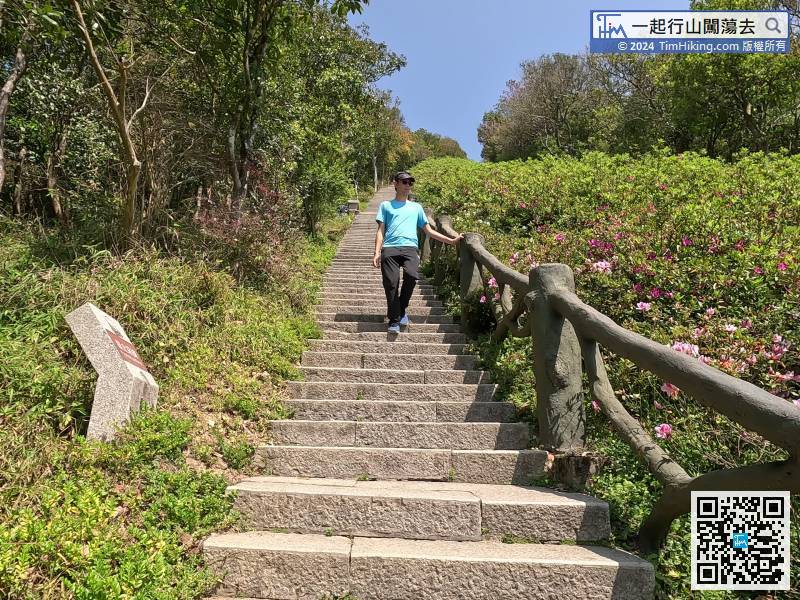
Okay, come to the middle of the uphill section, the distance post is 2,200 meters.
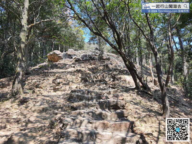
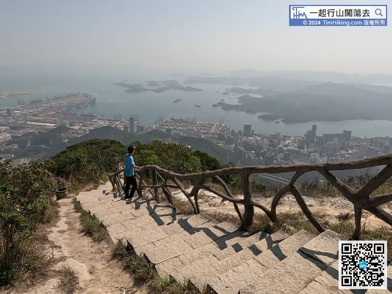
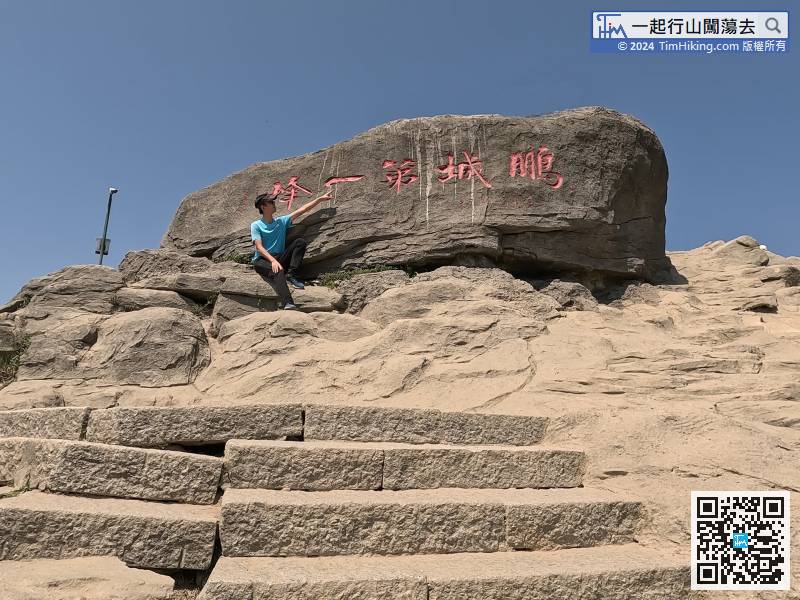
The steeper the big stone steps, the faster you will reach the top of the mountain.
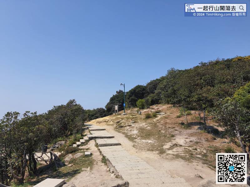
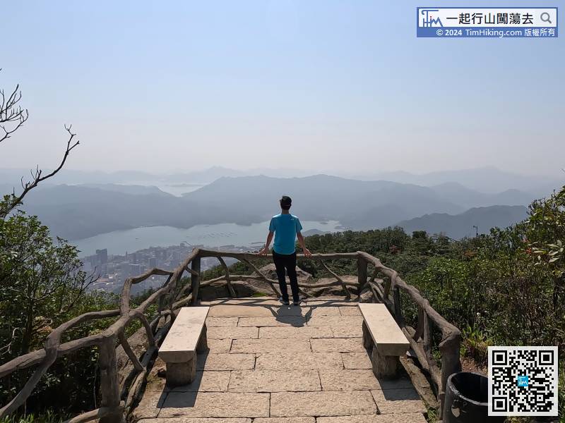
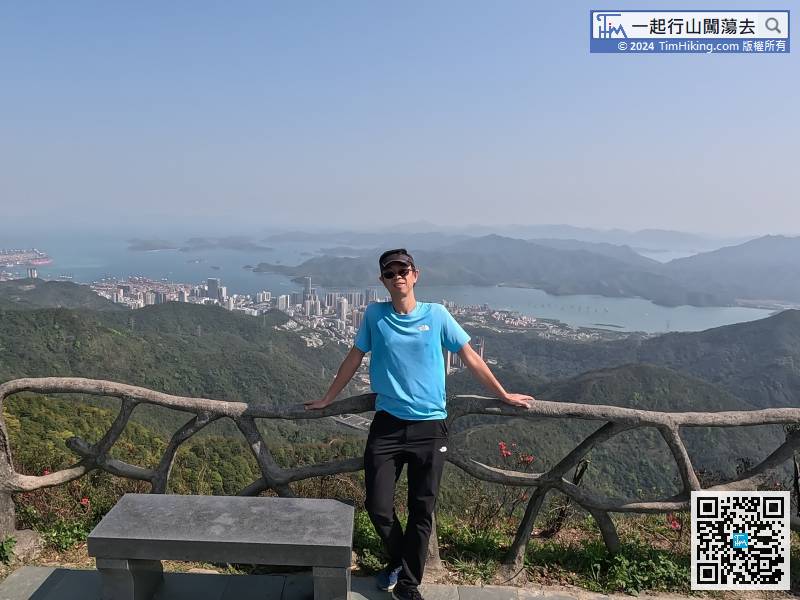
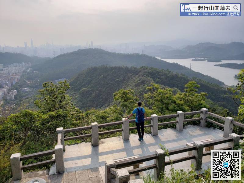
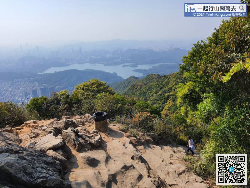
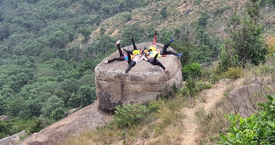
When coming to the flat ground,
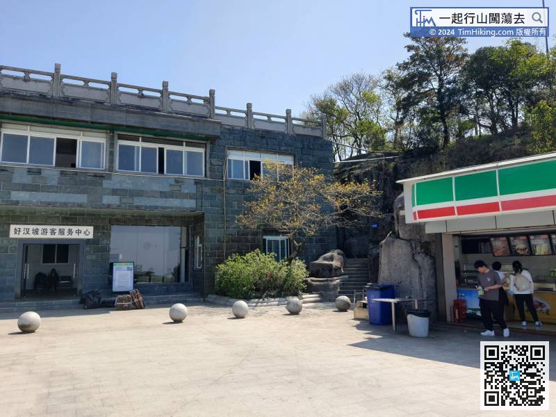
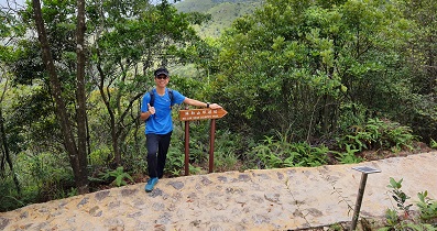
After replenishing your strength, walk to the small road next to the store.
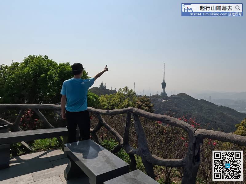
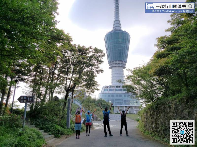
The next target is The TV Tower in Small WuTong.
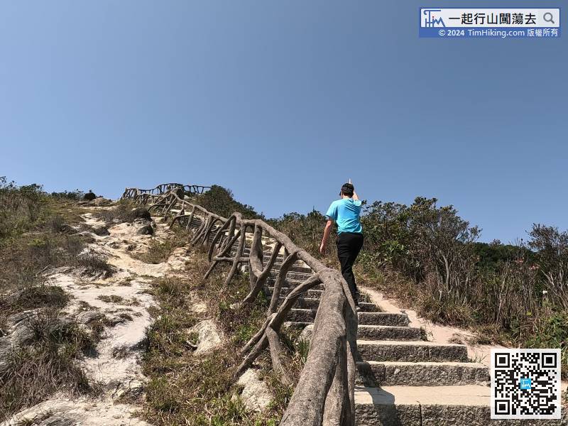
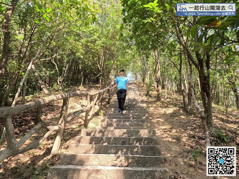
First of all, you have to descend a very steep big stone step,
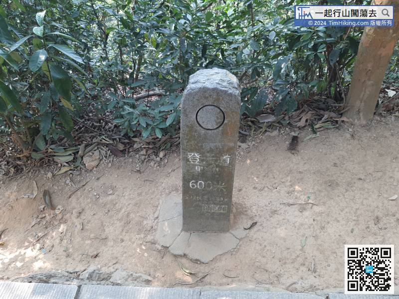
After the distance post 600 meters,


