


 Recommend YouTube


| View : |  | ||
| Difficulty : |  | ||
| Path : | |||
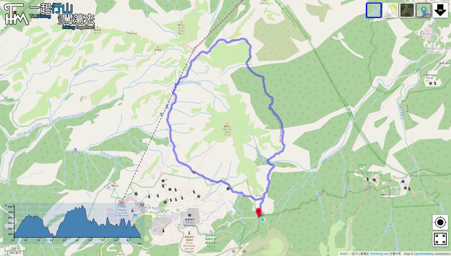
| Length : | 4.9km | ||
| Time : | 2hours | ||
 | |
| Ascent : 522m | Descent : 501m |
| Max : 565m | Min : 448m |
| (The accuracy of elevation is +/-30m) | |


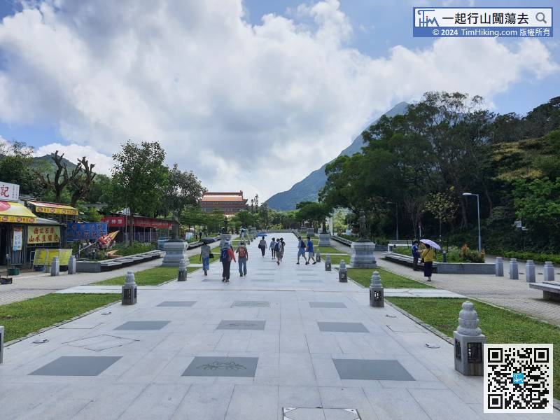
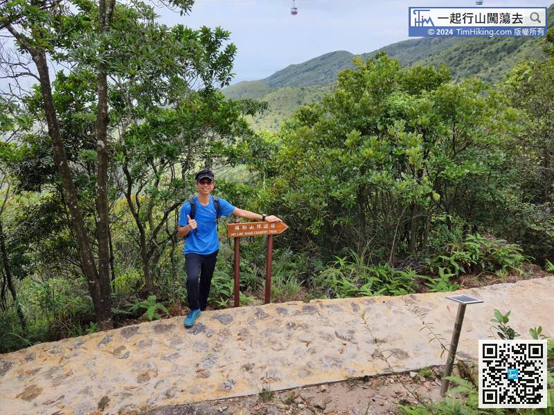
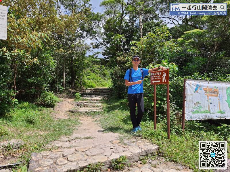
 17︰and on the left is the official starting point of Nei Lak Shan Country Trail, about 1.1km to the starting point.
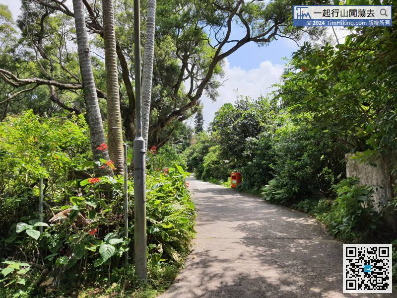 21︰Soon coming to the bifurcation where can choose to go clockwise or anti-clockwise.
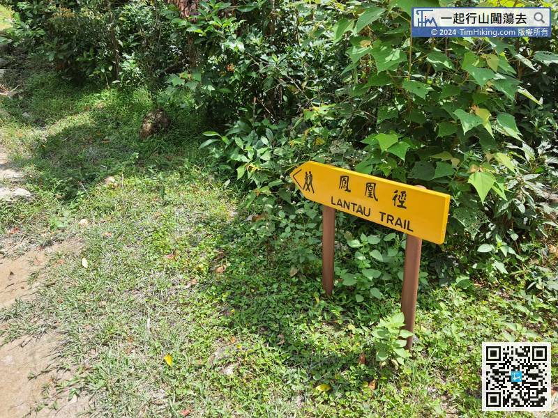
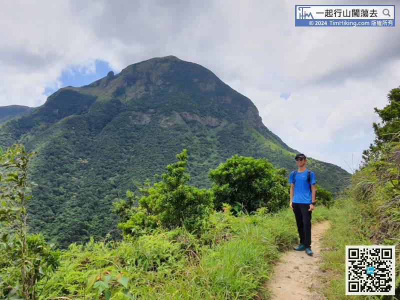
The first 2km of Nei Lak Shan Country Trail is overlapped with Lantau Trail (Section 4).
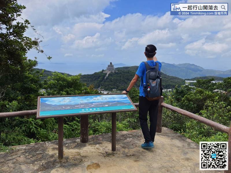
32︰After the wooden bench, will find Ngong Ping Viewing Point.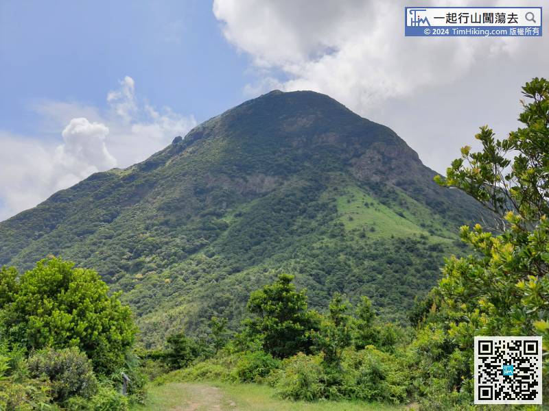 37︰the Country Trail will keep to the right. At the same time, leave the Lantau Trail and connect to the Ngong Ping 360 Rescue Trail.
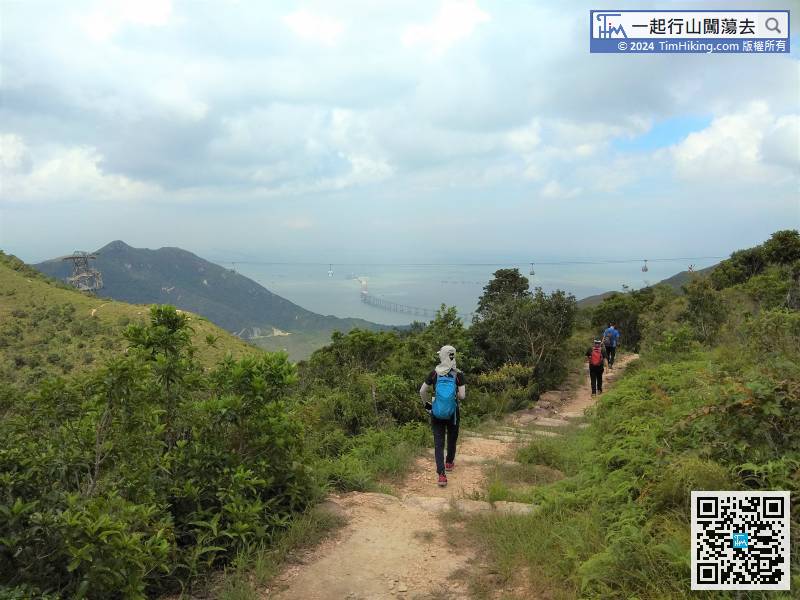
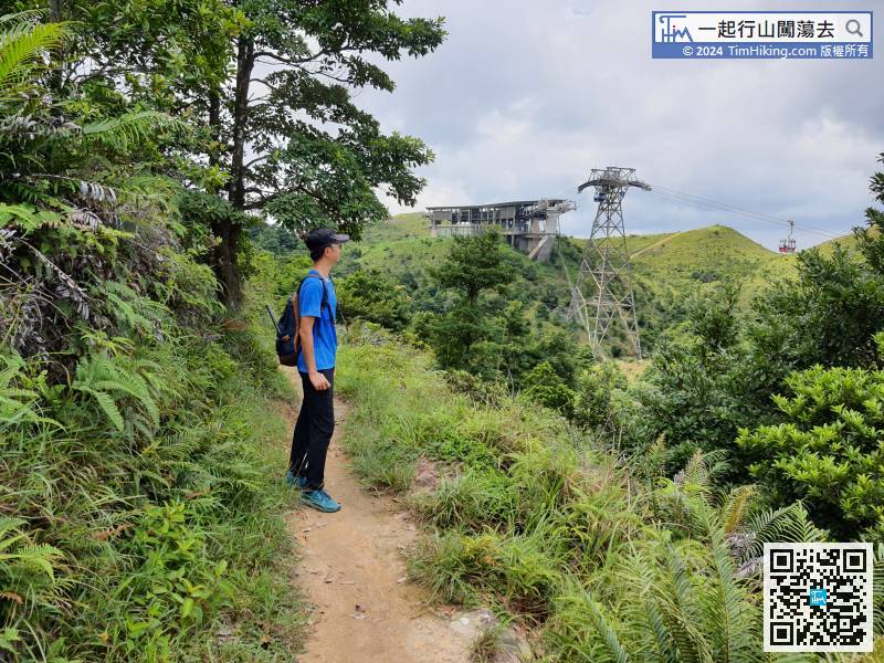
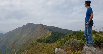
The scenery along the way is good, and the cable car goes back and forth, which is really poetic.
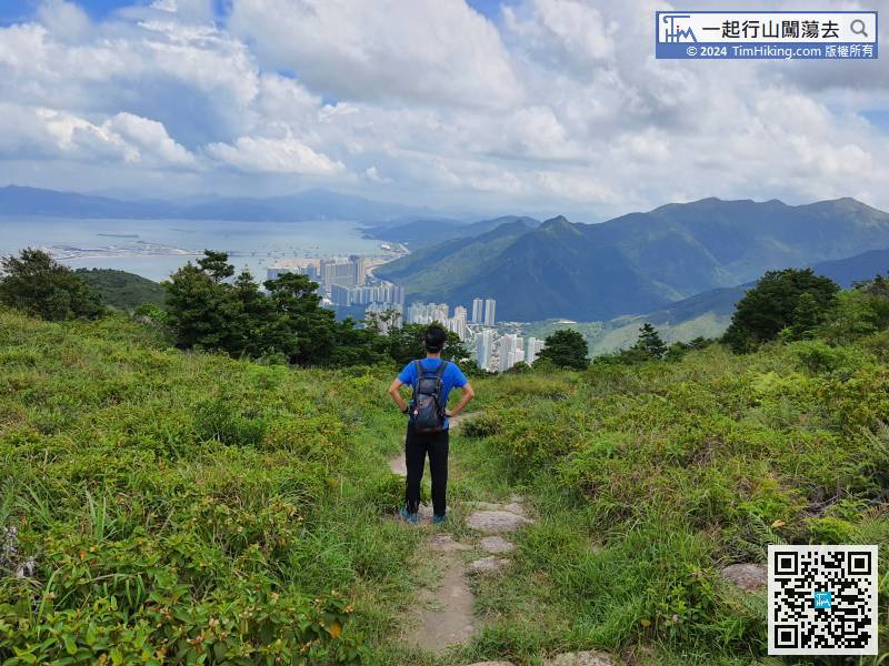
45︰Nei Lak Shan Angle Station is in front. If going to Tung Chung, just go straight up the step.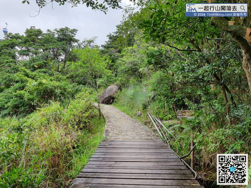
The plank trail is a major feature of the Ngong Ping 360 Rescue Trail,
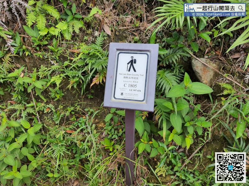
The distance post comes to C1805, half of the journey was completed,
72︰Then, will return to the starting point, which is also the end of the Nei Lak Shan Country Trail.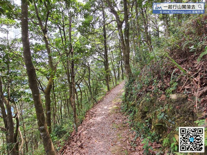

Hikers can leave in all directions, can go to the left via Fat Mun Ancient Trail to Tung Chung,


