


 Recommend YouTube


| View : |  | ||
| Difficulty : |  | ||
| Path : | |||
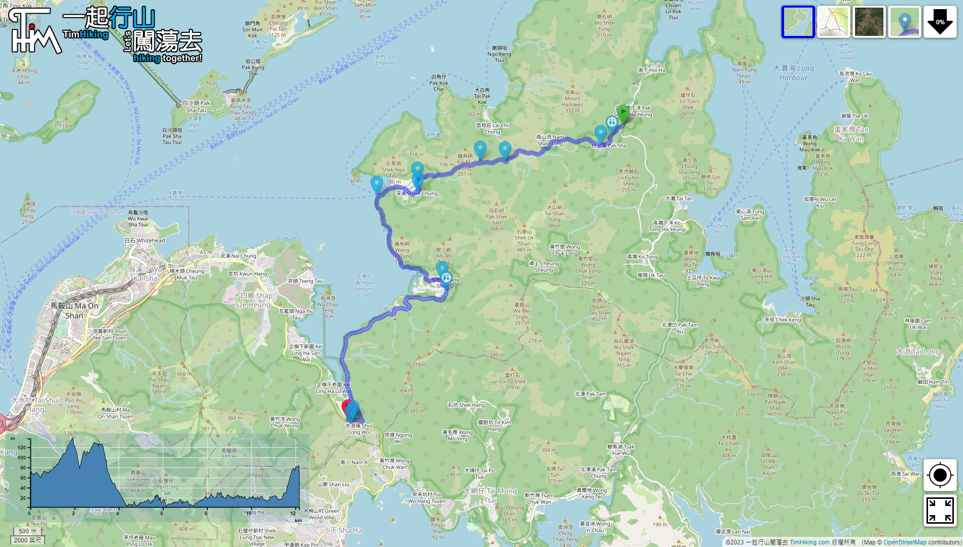
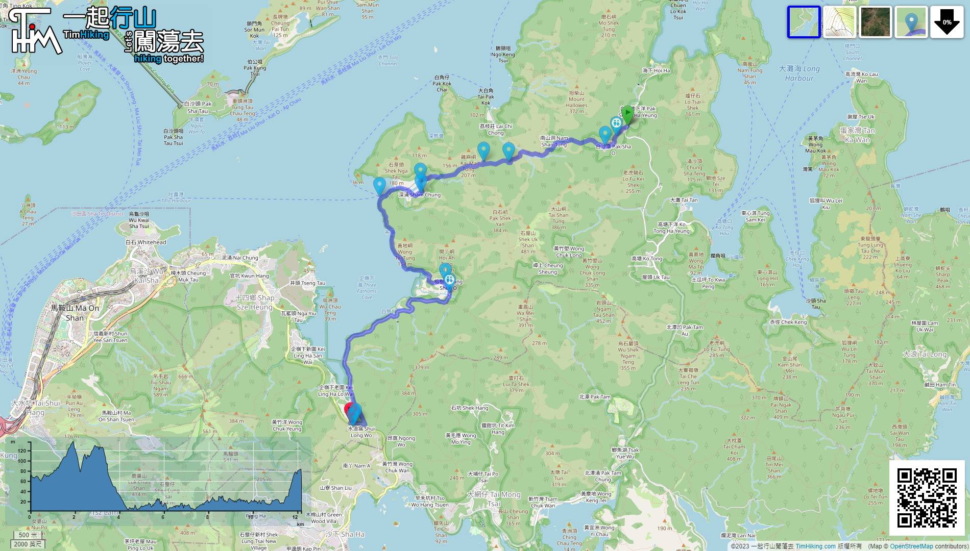
| Length : | 13.2km | ||
| Time : | 5hours | ||
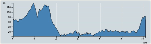 | |
| Ascent : 279m | Descent : 277m |
| Max : 207m | Min : 2m |
| (The accuracy of elevation is +/-30m) | |


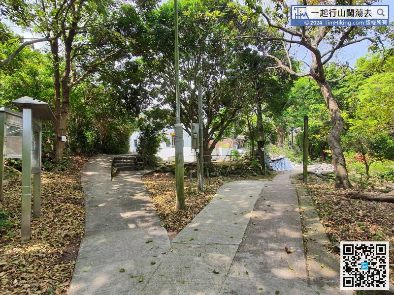
 Sham Chung Store
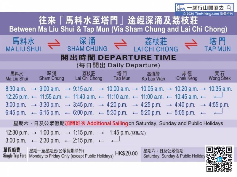
The most convenient way to go to Sham Chung is to go to Ma Liu Shui, take Kaito to Grass Island, and disembark at Sham Chung. There are only two round-trip shifts on leisure days, and there will be an additional round-trip shift on holidays.
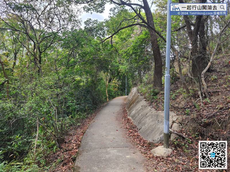
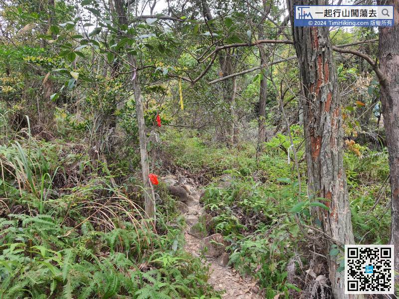
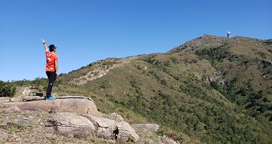
After visiting Snakes Rock, go back to the main path
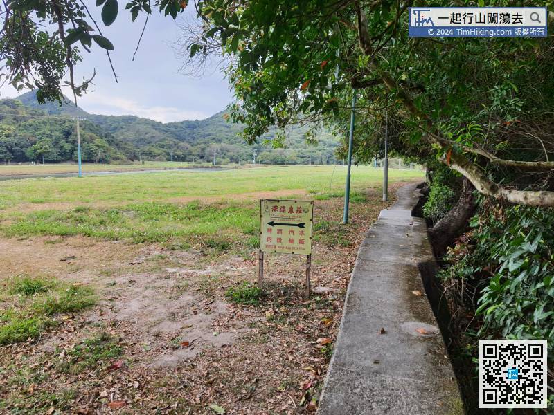
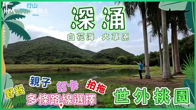
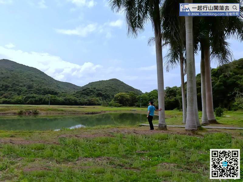
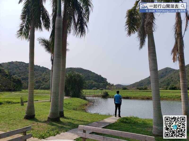
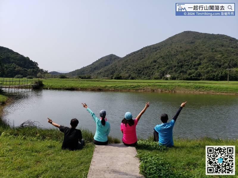
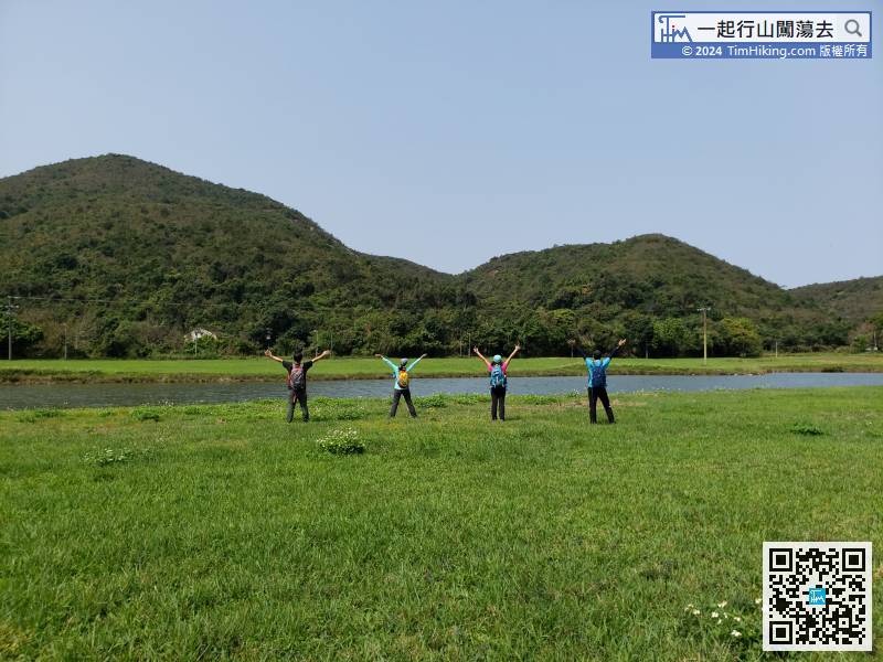
Just walking around in this vast grassland in Sham Chung,
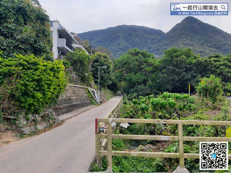
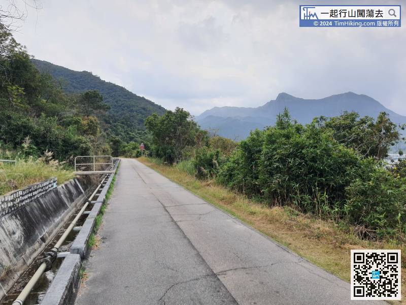
After passing through the village of Yung Shue O, go out along the real road.


