


 Recommend YouTube


| View : |  | ||
| Difficulty : |  | ||
| Path : | |||
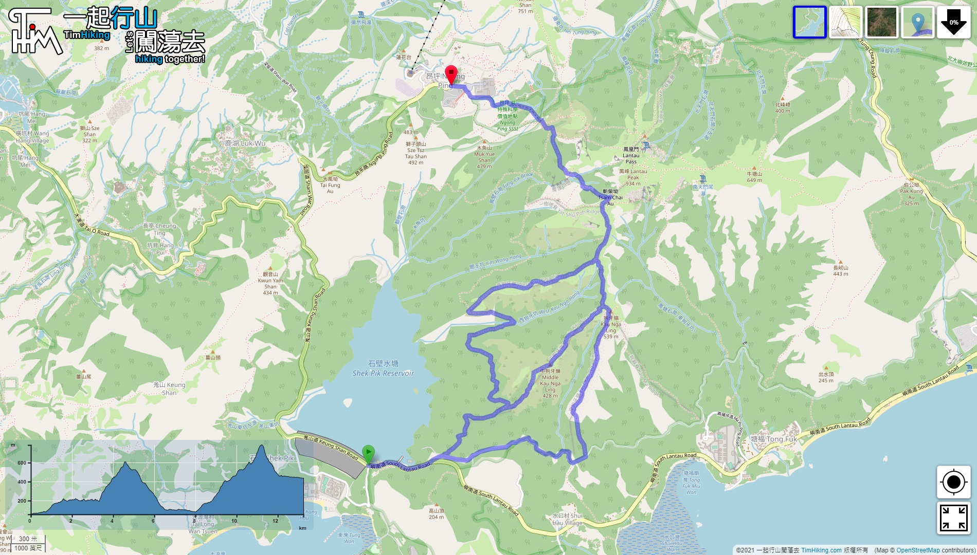
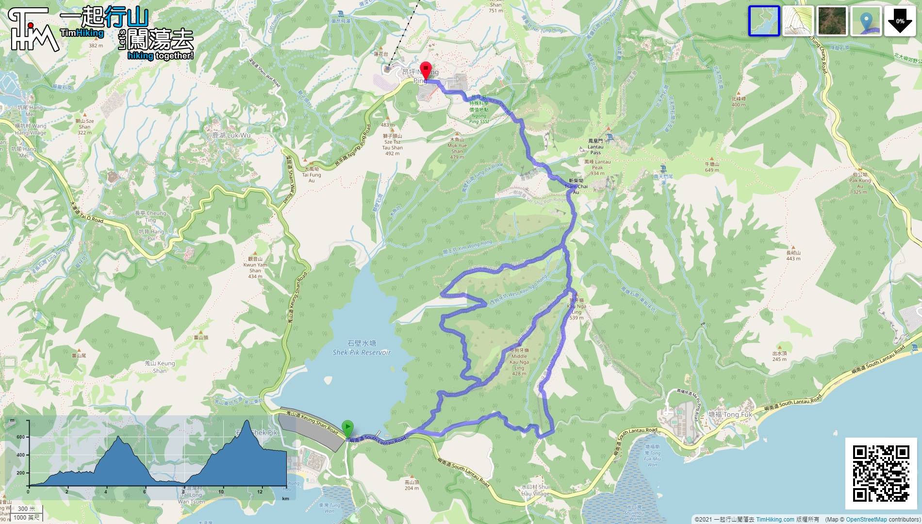
| Length : | 13.3km | ||
| Time : | 7hours | ||
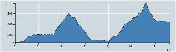 | |
| Ascent : 1,564m | Descent : 1,186m |
| Max : 786m | Min : 55m |
| (The accuracy of elevation is +/-30m) | |


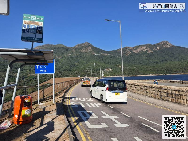
First, take the Lantau bus 11/23 and get off at Shek Pik Police Post.
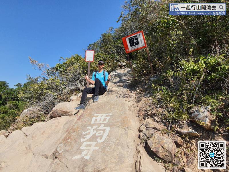
 24︰The entrance of Sai Kau Nga Ridge has an obvious danger warning sign,
The entrance of Sai Kau Nga Ridge has an obvious danger warning sign,
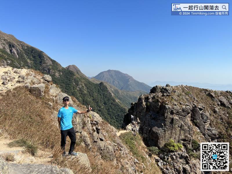
40︰It takes about 15 minutes to reach the Third Tooth.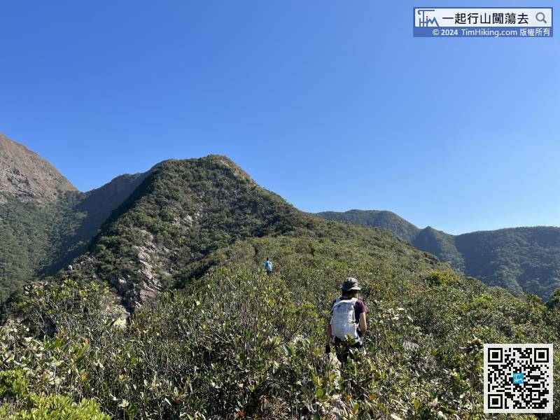 58︰just climb carefully.
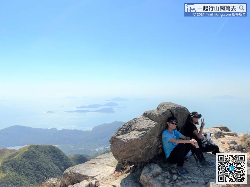
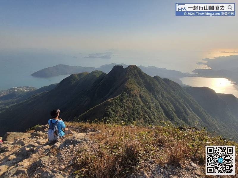
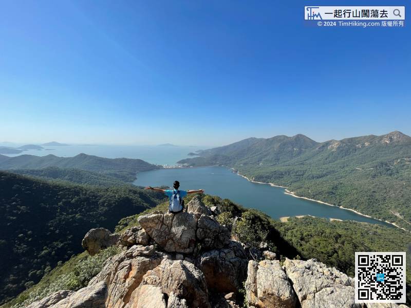
After climbing Sai Kau Nga Ridge, hikers may as well take a break under the boulder and wait for the teammates.
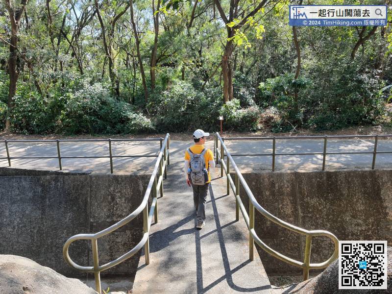
84︰After 7-8 minutes, will connect to Tong Fuk Catchwater.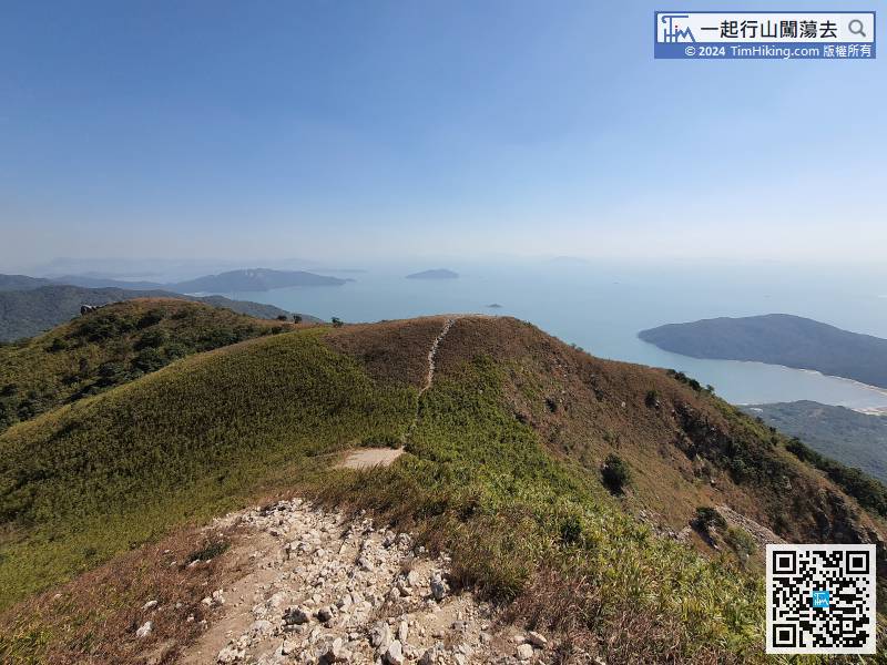
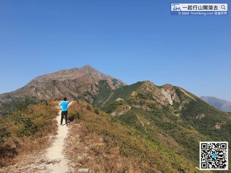
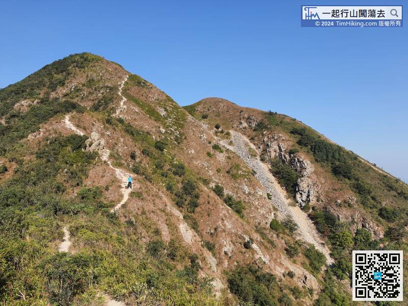
Traditional Three Nga is going down the mountain through Tung Kau Nga Ridge,
 99︰which is the entrance of Chung Kau Nga Ridge.
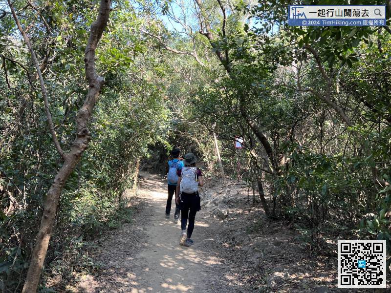
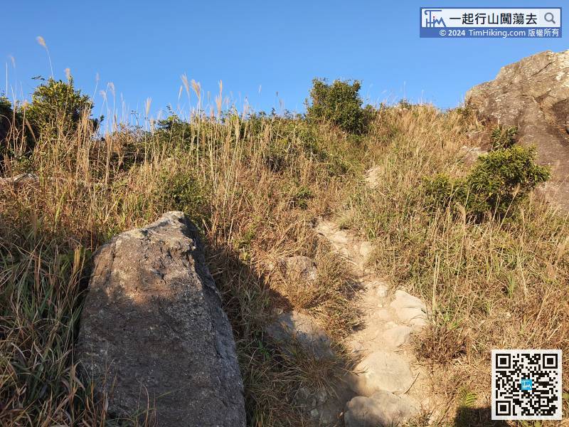
After about 400 metres, pay attention to the danger warning sign on the right,
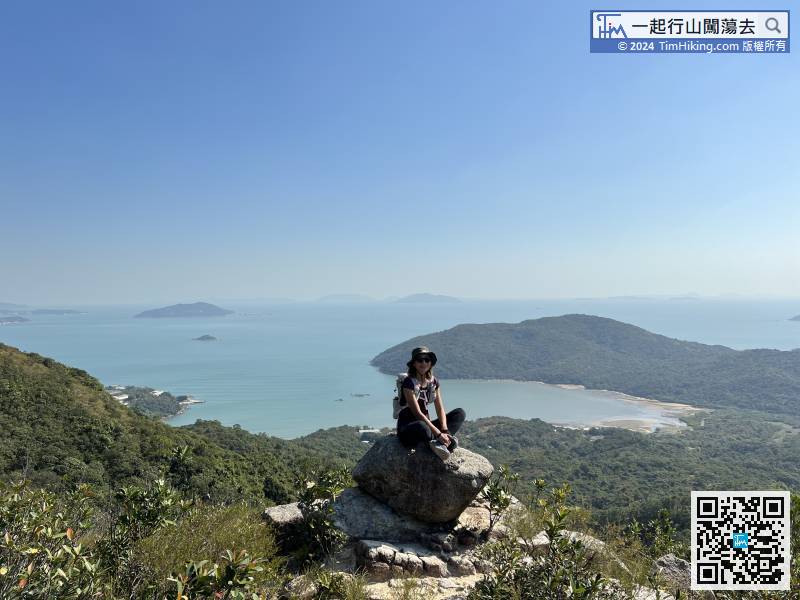
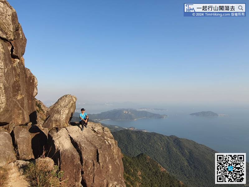
118︰At the end, can see the most beautiful Rock Stream view of Chung Kau Nga Ridge which is very shocking.
Walk towards the top of Chung Kau Nga Ridge, which is on the left-hand side of Tiger Roar Rock River.
131︰and will find the way to Slim Chance of Survival.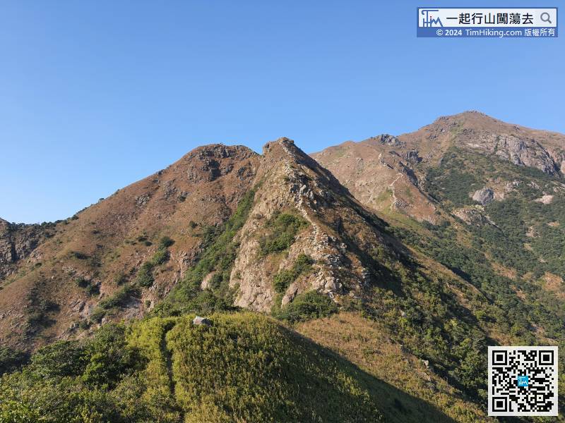
Before climbing the Hades Wall, have to cross Slim Chance of Survival again,
As long as going up the mountain path next to the Bird Turning Head Rock,


