


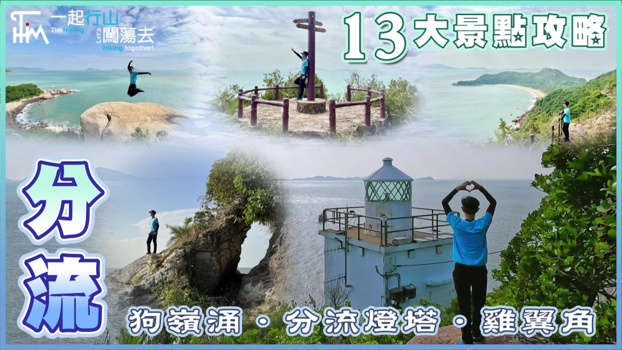
 Recommend YouTube
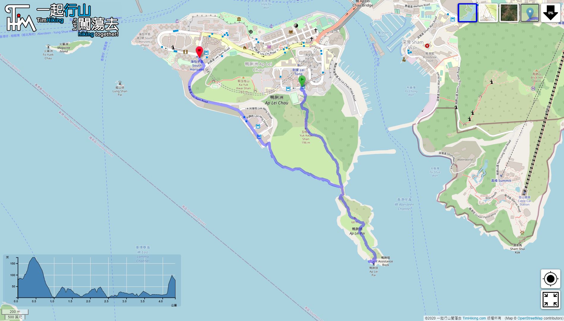


| View : |  | ||
| Difficulty : |  | ||
| Path : | |||
| Length : | 7.4km | ||
| Time : | ½hours | ||
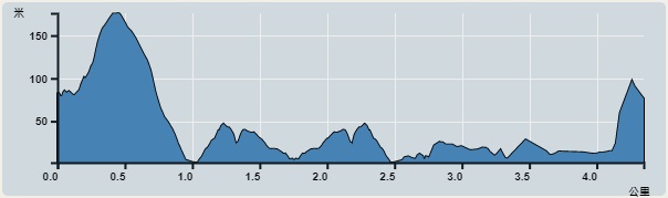 | |
| Ascent : 110m | Descent : 110m |
| Max : 18m | Min : 0m |
| (The accuracy of elevation is +/-30m) | |


| View : | | ||
| Difficulty : | | ||
| Path : | |||
| Length : | 7.4km | ||
| Time : | ½hours | ||
| |
| Ascent : 110m | Descent : 110m |
| Max : 18m | Min : 0m |
| (The accuracy of elevation is +/-30m) | |
Thanks a lot! Hope our hiking information is helpful to you. Everyone is happy to go hiking and safely!
Welcome to use Payme AlipayHK to sponsor Tim Sir's efforts! Continue to give selflessly for the mountain world.
You will make clear to me the way of life; where you are joy is complete; in your right hand there are pleasures for ever and ever.
Psalms 16:11 BBE

一起爬山闖蕩去 | timhiking | timhiking | timhiking | Message Board | Disclaimer


