


 Recommend YouTube


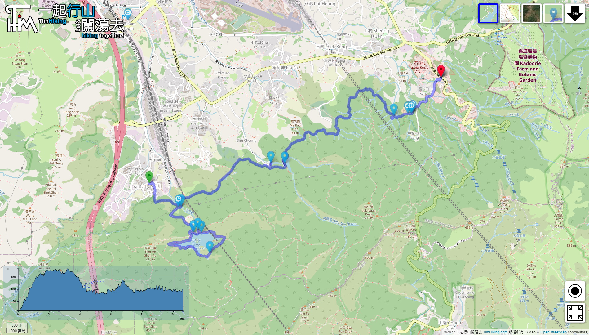

| View : |  | ||
| Difficulty : |  | ||
| Path : | |||
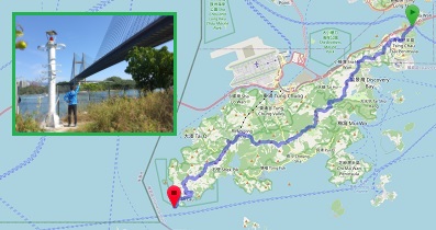
| Length : | 10.7km | ||
| Time : | 2½hours | ||
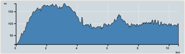 | |
| Ascent : 631m | Descent : 555m |
| Max : 183m | Min : 13m |
| (The accuracy of elevation is +/-30m) | |


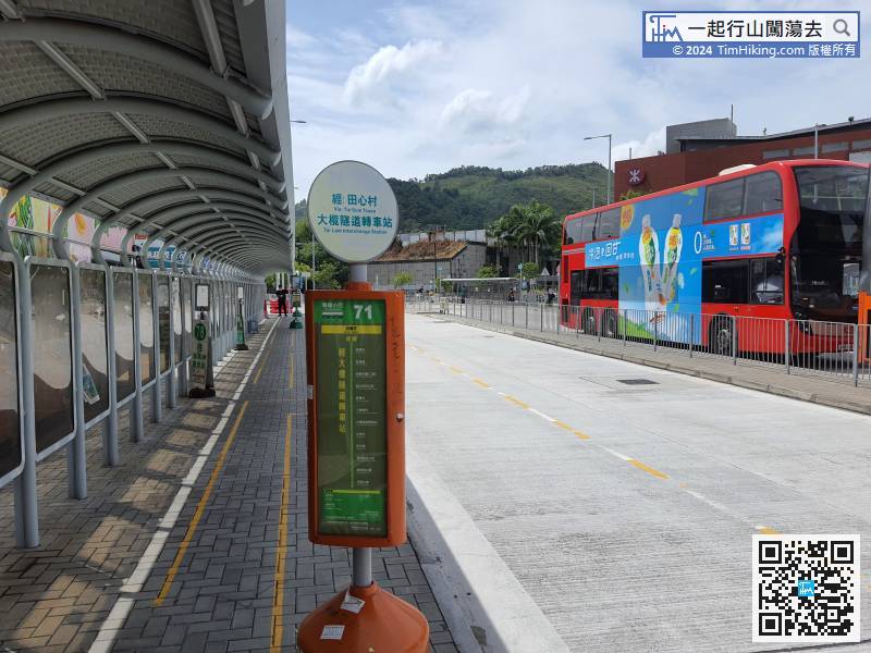
First go to Ho Pui Reservoir, you can take minibus 71 at Yuen Long Tai Hang Street or West Rail Kam Sheung Road Station
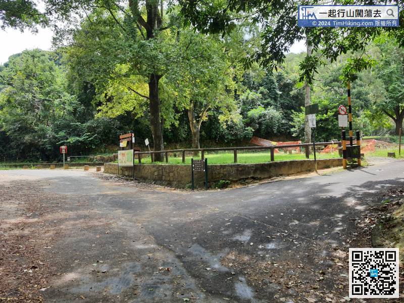
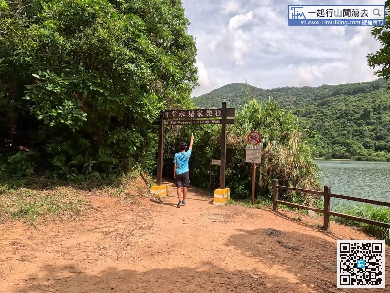
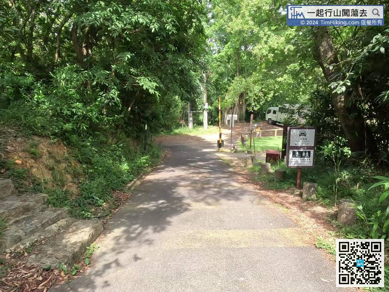
Walk for about 10 minutes and come to a fork, next to Ho Pui Campsite,
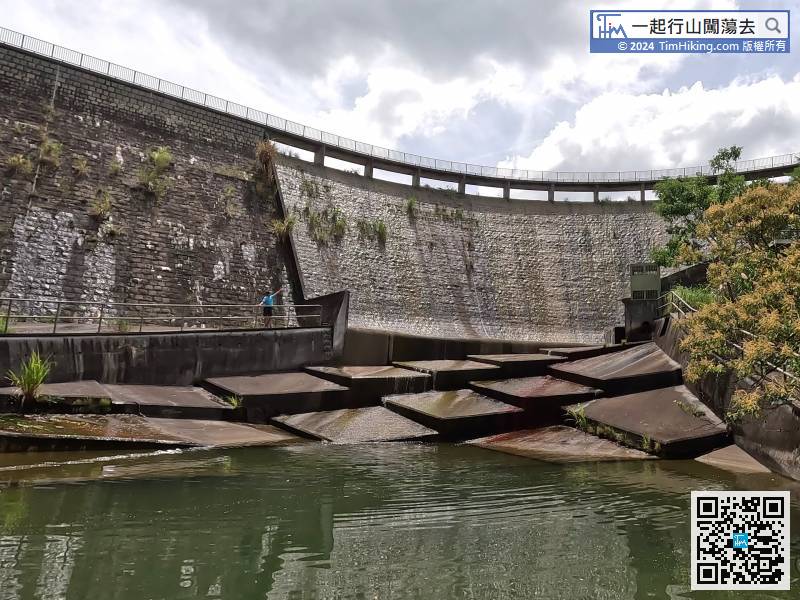
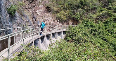
 25︰There is a path to the left of the entrance to the bottom of the dam. Go straight and step into the main dam. The dam has a very special design and is S-shaped.
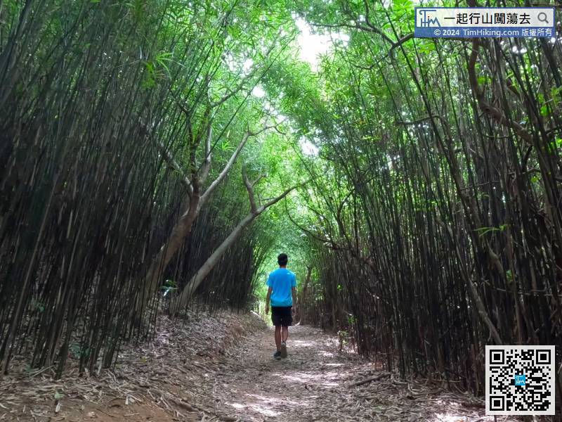
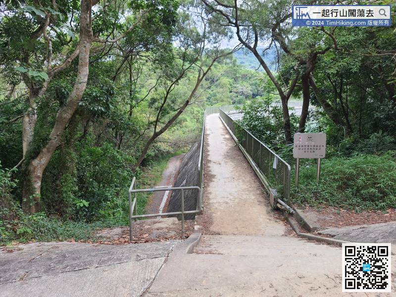 41︰Soon, you will come to the stunning bamboo forest, which feels like Mont Vert in Japan. The road is wider and the bamboo trees are taller and straighter.
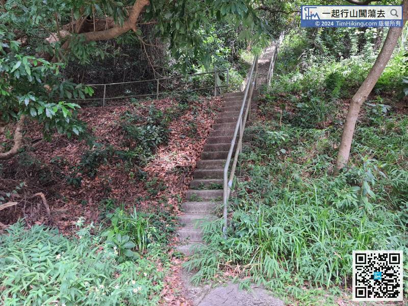 50︰you can have an unobstructed view of the entire Ho Pui Reservoir, and Tai Mo Shan is directly in front.
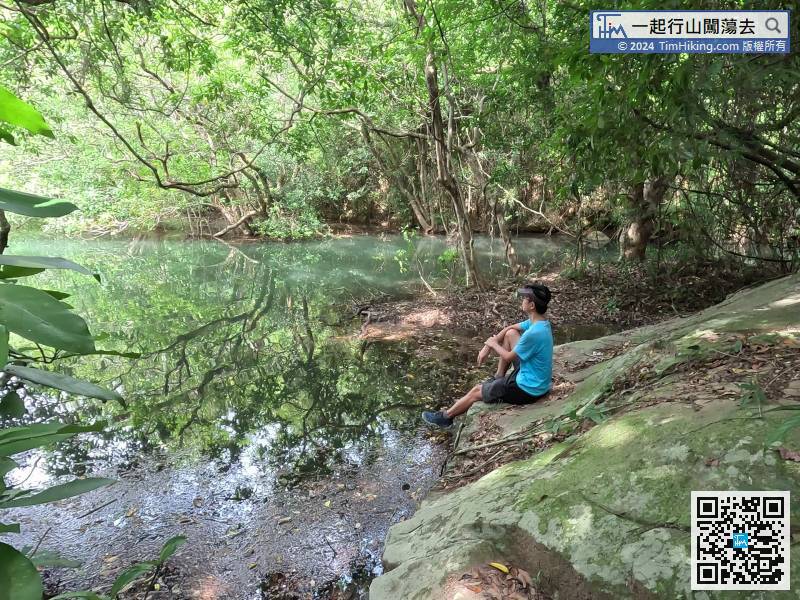
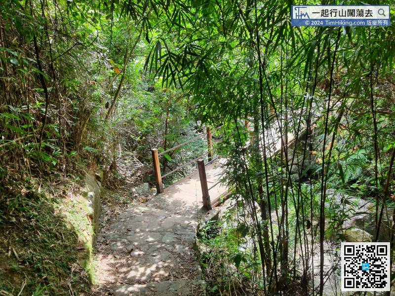
The bamboo forest in Ho Pui is only about 10 or 20 meters long,
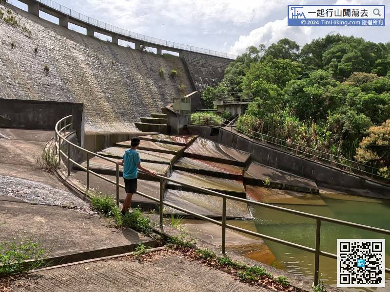
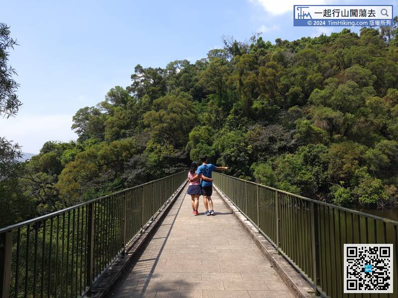
 71︰Walk through the intersection of Ho Pui Campsite for about half an hour, and you will see the dam at Tsing Tam Lower Reservoir.
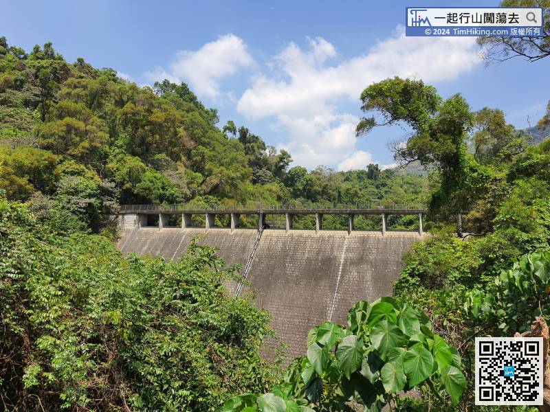
Walk through the intersection of Ho Pui Campsite for about half an hour, and you will see the dam at Tsing Tam Lower Reservoir.
88︰The dam design of the Tsing Tam Upper Reservoir is almost the same as that of the Tsing Tam Lower Reservoir. There are large stone slabs on the left side.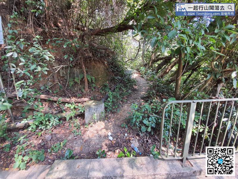
When leaving the dam, do not follow the barren trail at the end of the dam, as the so-called 'Walking on wider roads all the time'.
99︰It only takes more than 100 meters for a round walk, and there are many information plates, such as Nature Trail, Tree Walk.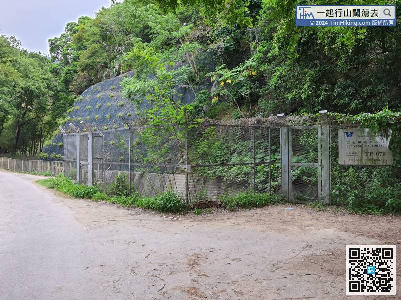
From Tsing Tam Upper Reservoir, about 40 minutes, we arrived at Liu Kung Tin.
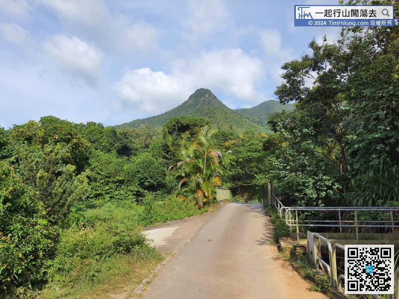
After a break, keep moving forward, the front is Kwun Yam Shan in Kadoorie Farm,


