


 Recommend YouTube


| View : |  | ||
| Difficulty : |  | ||
| Path : | |||
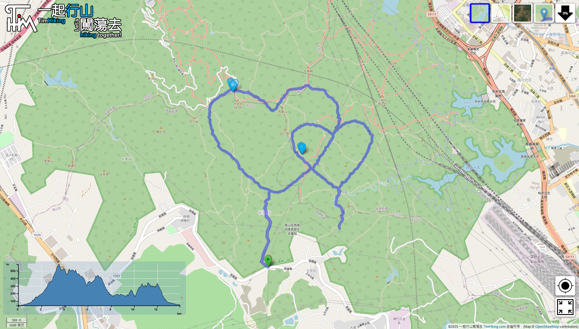
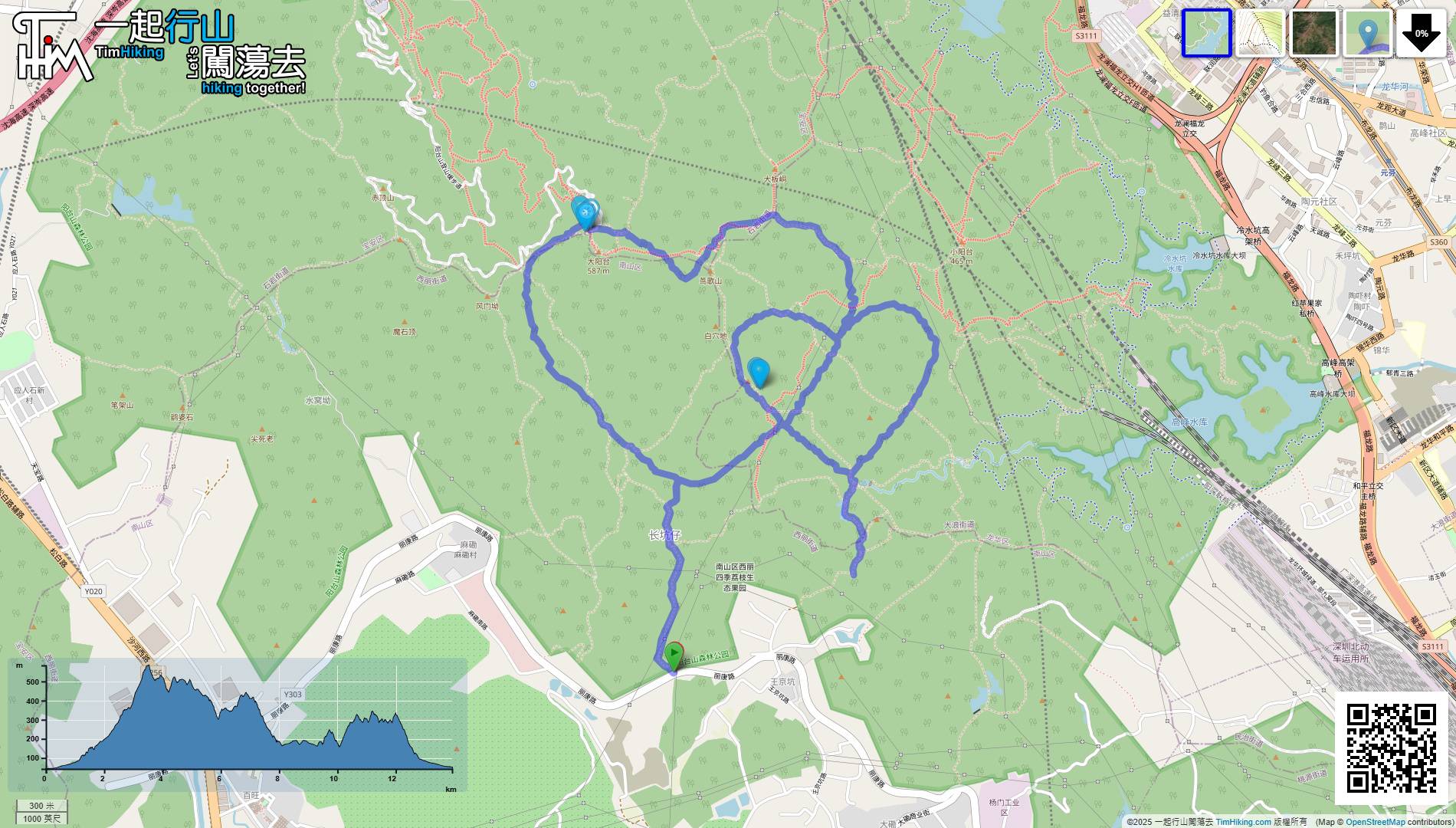
| Length : | 14km | ||
| Time : | 8hours | ||
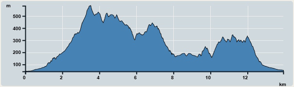 | |
| Ascent : 1,509m | Descent : 1,509m |
| Max : 584m | Min : 42m |
| (The accuracy of elevation is +/-30m) | |


The starting point is Changkengzi Hiking Trail Entrance. It is best to take a taxi to the destination, which is 'Shenbao Orchard(深寶果園)'.
First turn left and draw the Big Heart clockwise.
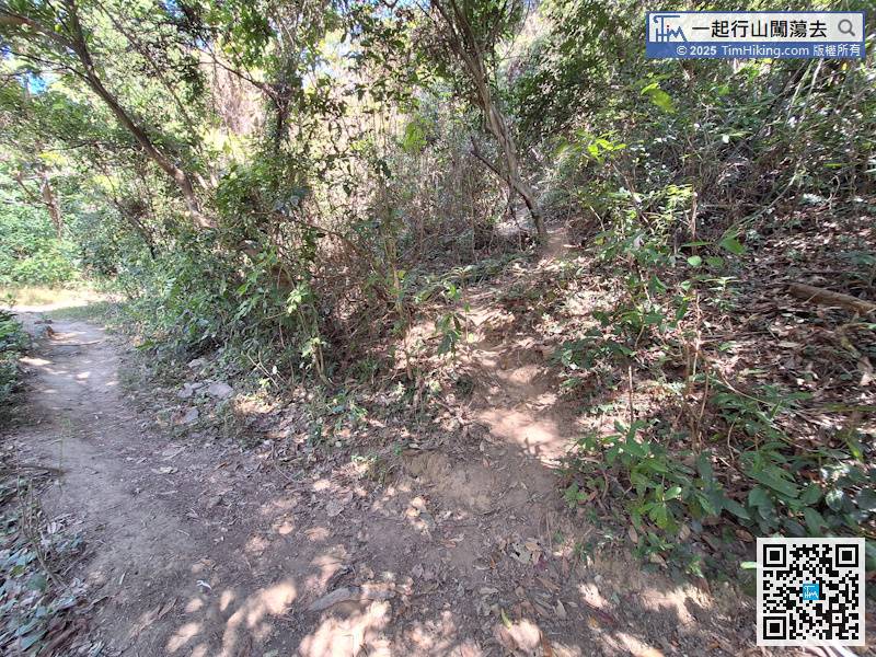
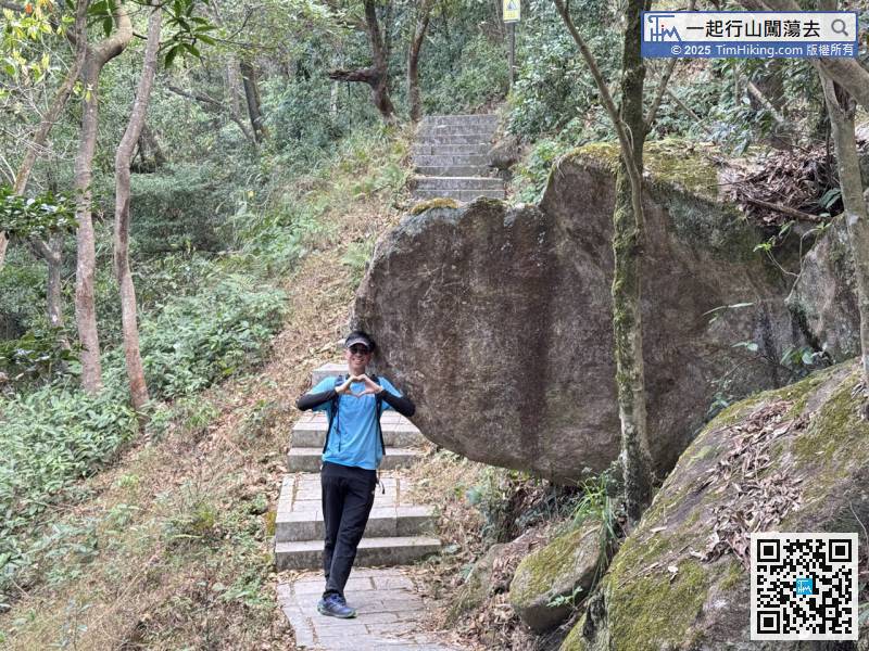
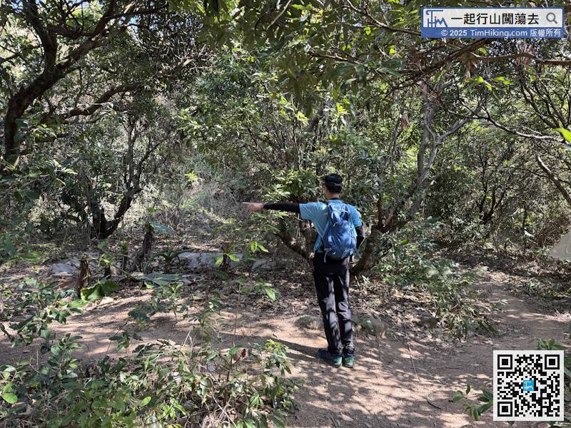
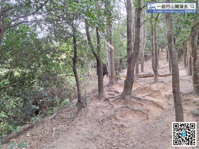
Cross an official trail and walk to the other side to continue climbing up.
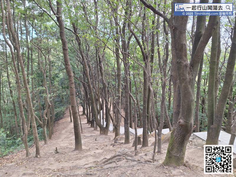
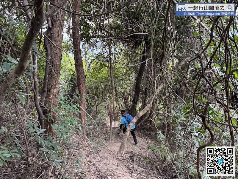
Go down the main trail,
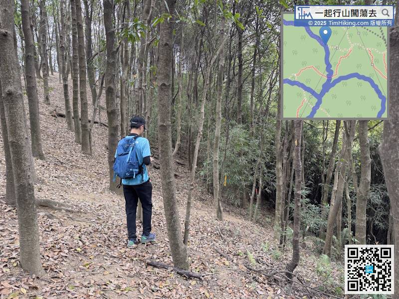
Pay attention to the fork in the road on the right.
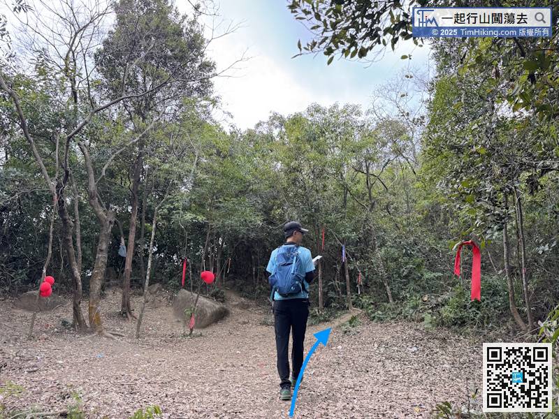
This is a crossroads. Choose the fork on the right ahead,

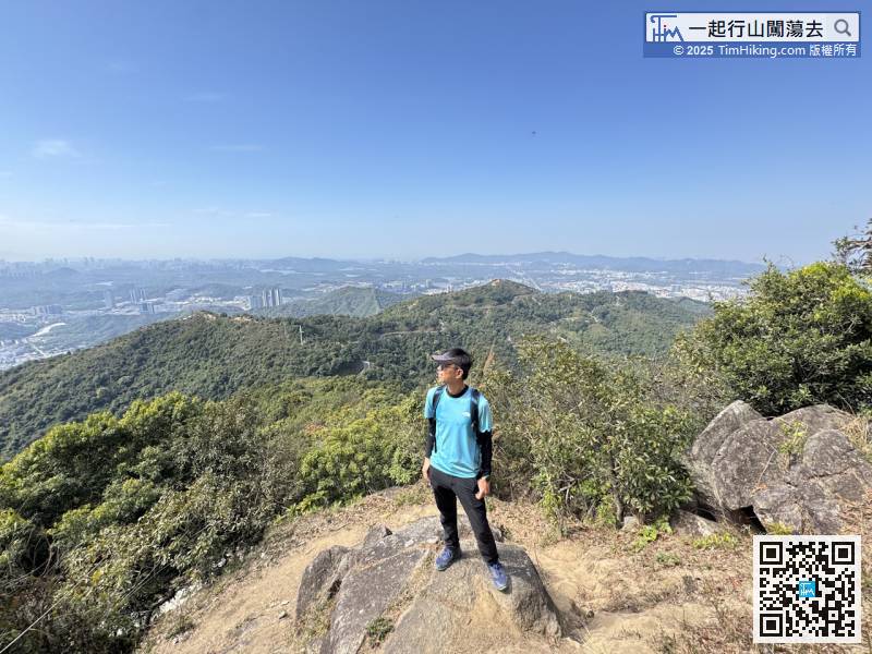
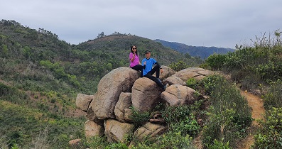
When you get to this location, you might as well stop recording your tracks, because if you walk up for 5 minutes, you will see Skylight Rock,
Go back to the bottom of the Small Heart, walk up a few more steps,

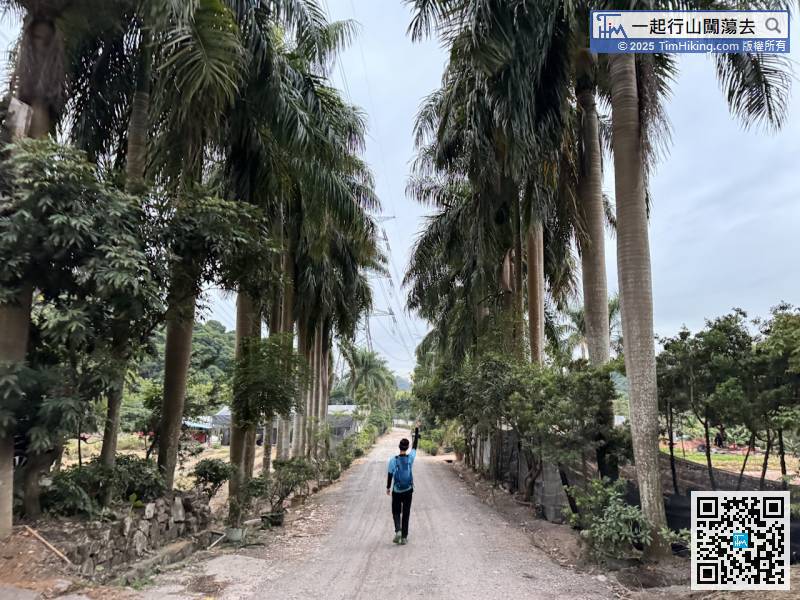
There are many big red Small Heart balloons hanging in the open space, proving that this route is already very famous in the mountains of Shenzhen and is one of the goals of hikers.


