


 Recommend YouTube


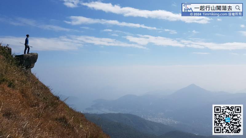
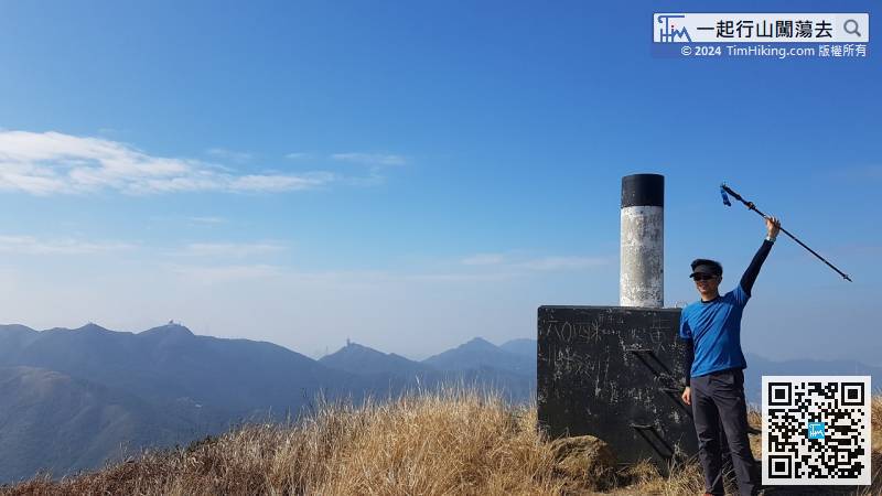
| View : |  | ||
| Difficulty : |  | ||
 (skip Rock Forest) | |||
| Path : | |||
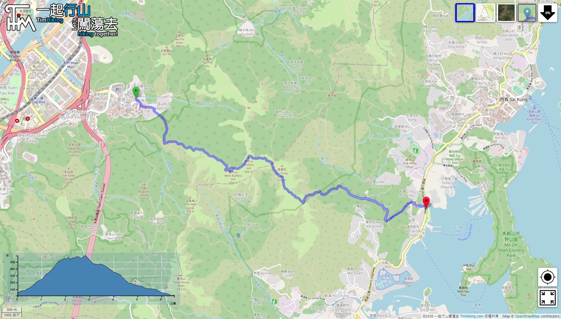
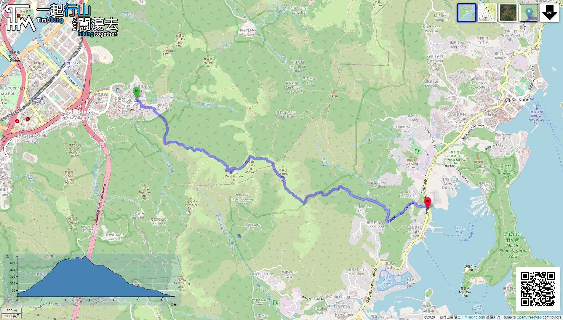
| Length : | 6.6km | ||
| Time : | 4hours | ||
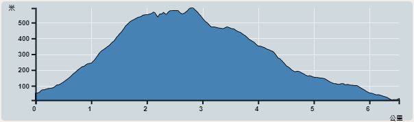 | |
| Ascent : 622m | Descent : 667m |
| Max : 591m | Min : 9m |
| (The accuracy of elevation is +/-30m) | |


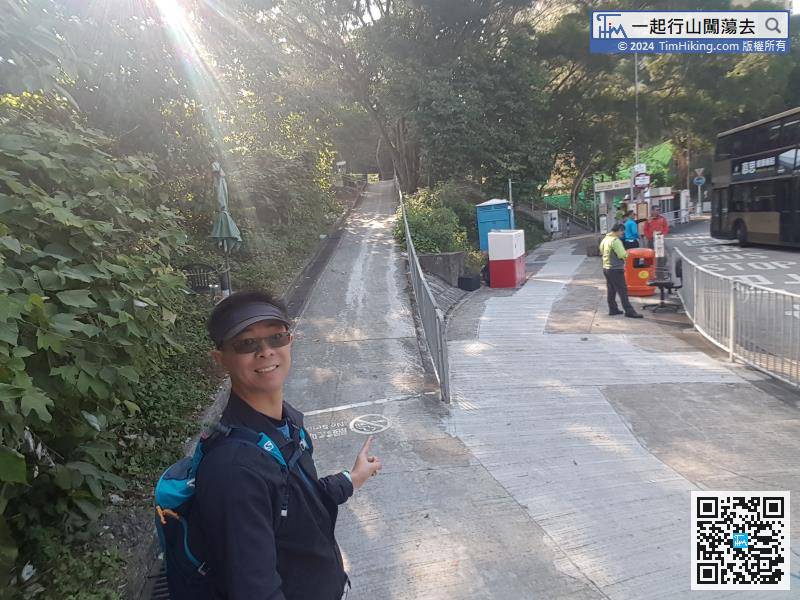
After getting off the bus, enter the mountain trail on the stairs or slope on the left-hand side immediately and step into Fa Sam Hang.

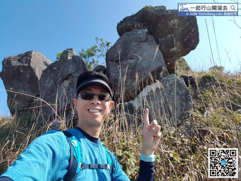
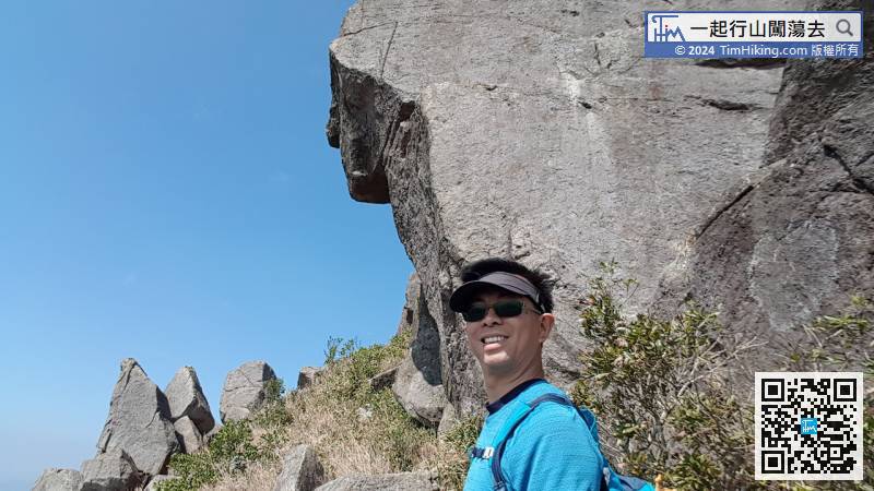
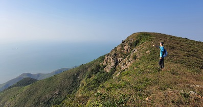
There is a footpath that has been trampled clearly beside Puppy Rock, enter here.


