


 Recommend YouTube


| View : |  | ||
| Difficulty : |  | ||
| Path : | |||
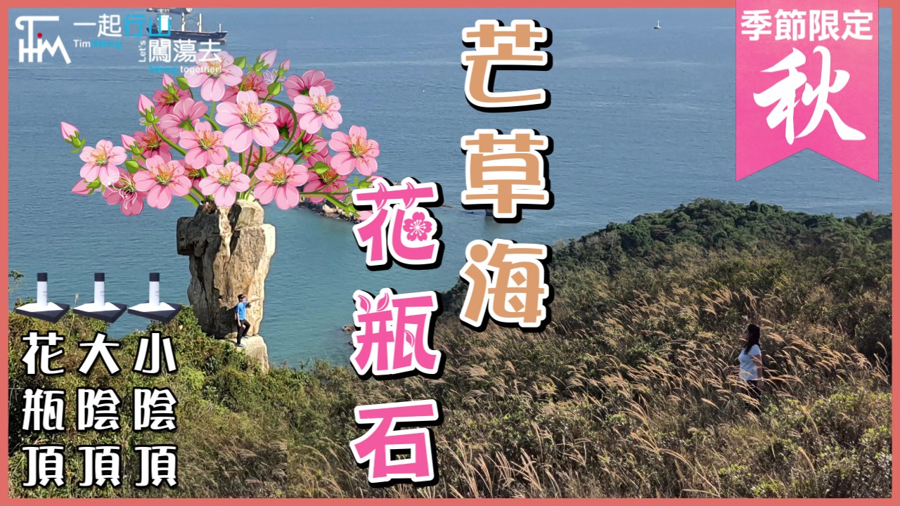
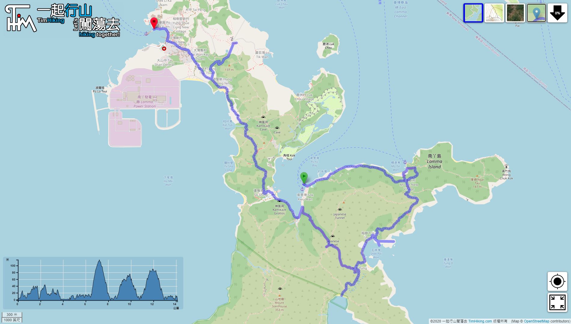
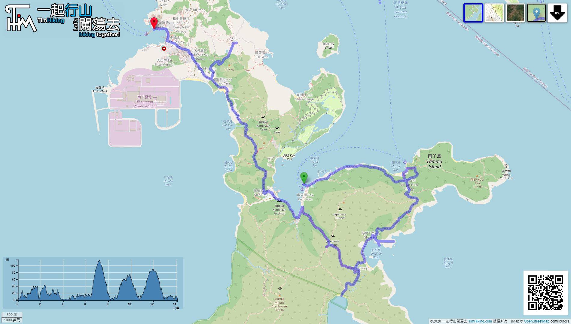
| Length : | 14.2km | ||
| Time : | 6hours | ||
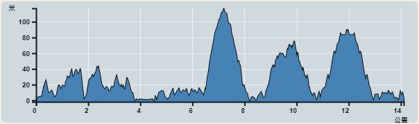 | |
| Ascent : 692m | Descent : 690m |
| Max : 117m | Min : 0m |
| (The accuracy of elevation is +/-30m) | |


 四處都有 Store

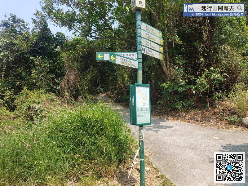
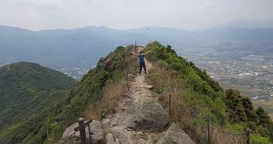
When coming to the stairs down the mountain, there is a sign to guide the way to Shek Pai Wan on the left.

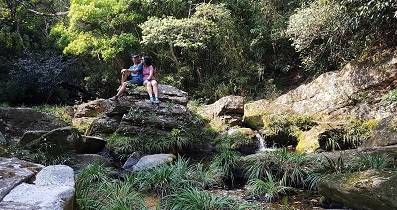
After playing the movie, return to the store just now to eat a bowl of Beancurd Dessert, and then continue the journey.
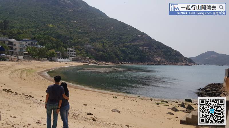
When coming to Sham Wan, there was a warning sign stating that Sham Wan is a wildlife sanctuary and is not allowed to enter from April to October every year.


