


 Recommend YouTube


| View : |  | ||
| Difficulty : |  | ||
| Path : | |||
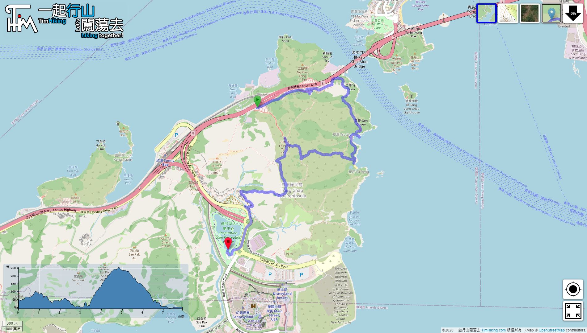
| Length : | 7.9km | ||
| Time : | 4hours | ||
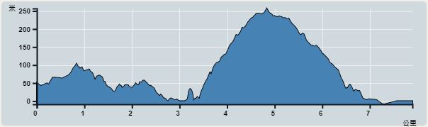 | |
| Ascent : 482m | Descent : 538m |
| Max : 257m | Min : 0m |
| (The accuracy of elevation is +/-30m) | |


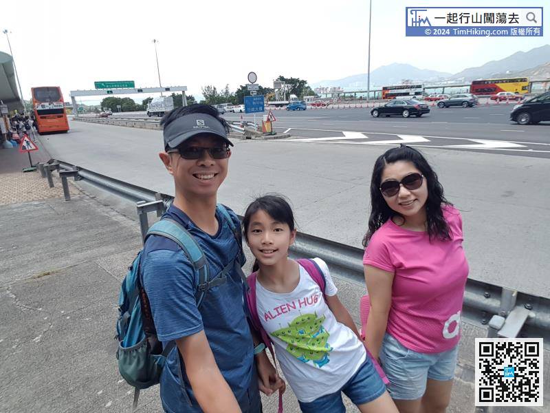
The starting point is Lantau Link Bus-Bus Interchange.
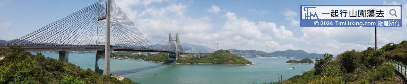
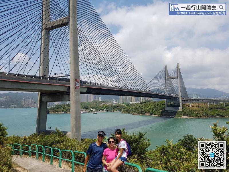
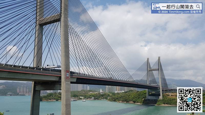
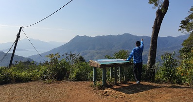
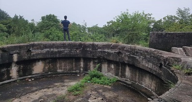
On the way up the mountain, there is a place that can take beautiful shots of Kap Shui Mun Bridge. Here is called Yi Chuen,
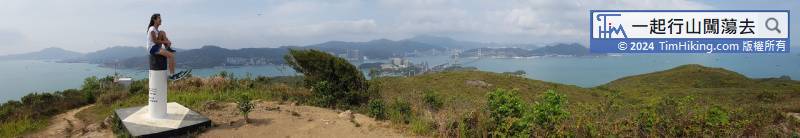
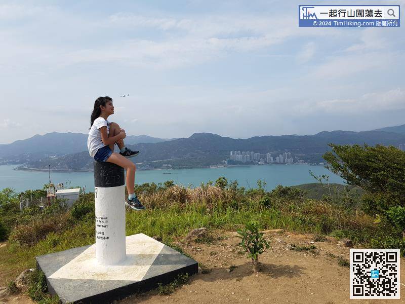
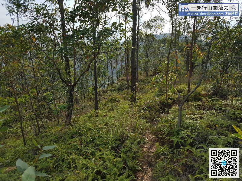
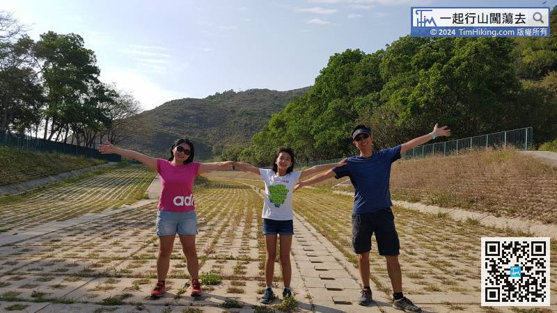
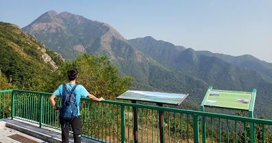
So, turn right to Inspiration Lake, the trail will become denser and thicker.


