


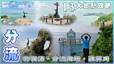
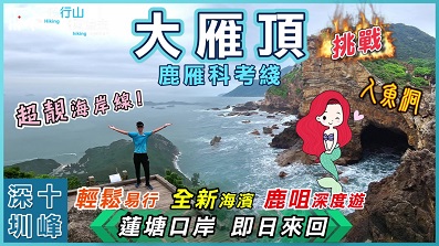
 Recommend YouTube


| View : |  | ||
| Difficulty : |  | ||
 (skip Fan Lau Lighthouse) | |||
| Path : | |||
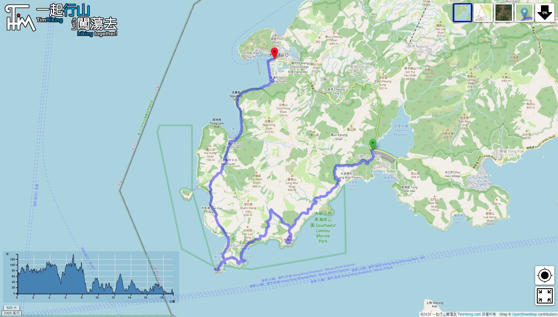
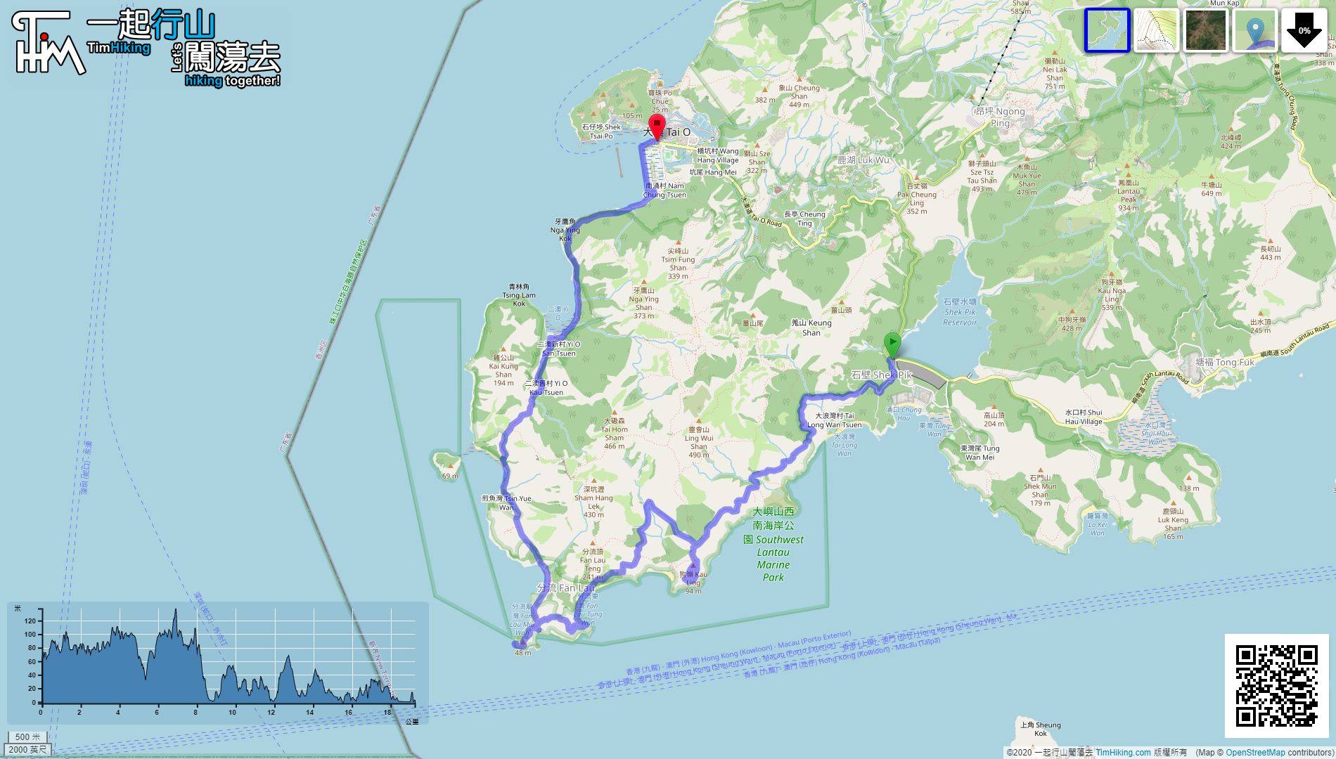
| Length : | 19.2km | ||
| Time : | 7hours | ||
| 【 Shek Pik Campsite 】 | |||
| Toilet : | Flushing Toilet | ||
| Water : | Tap | ||
| Remarks : | 100 metres from the campsite(near the entrance of Wang Pui Road) | ||
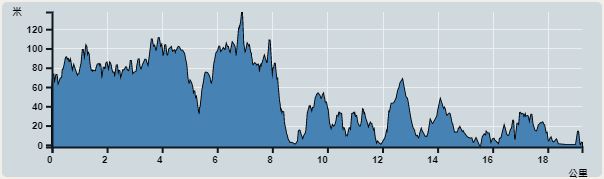 | |
| Ascent : 1,042m | Descent : 1,187m |
| Max : 138m | Min : 0m |
| (The accuracy of elevation is +/-30m) | |


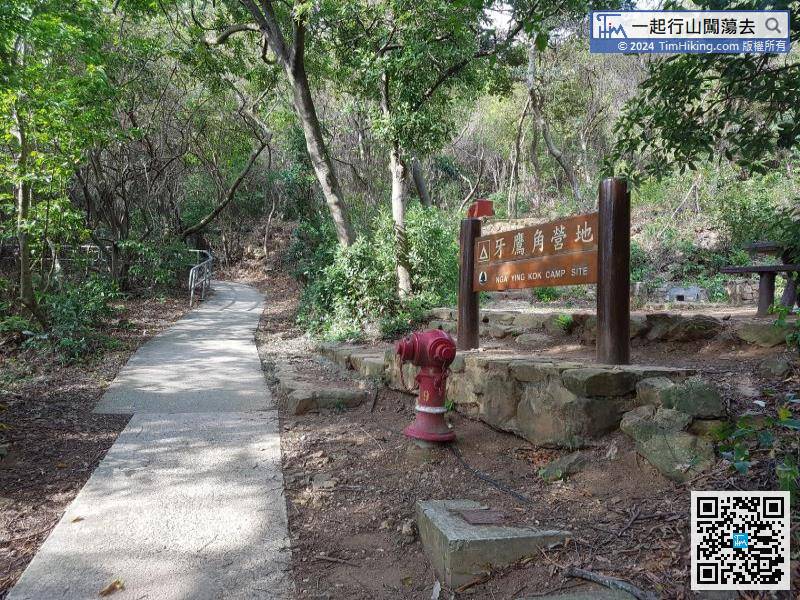
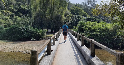
After walking for more than an hour, arrive at Kau Ling Chung Campsite. There is a stairway to the left.
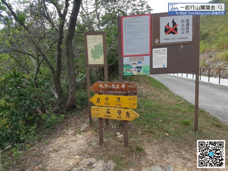
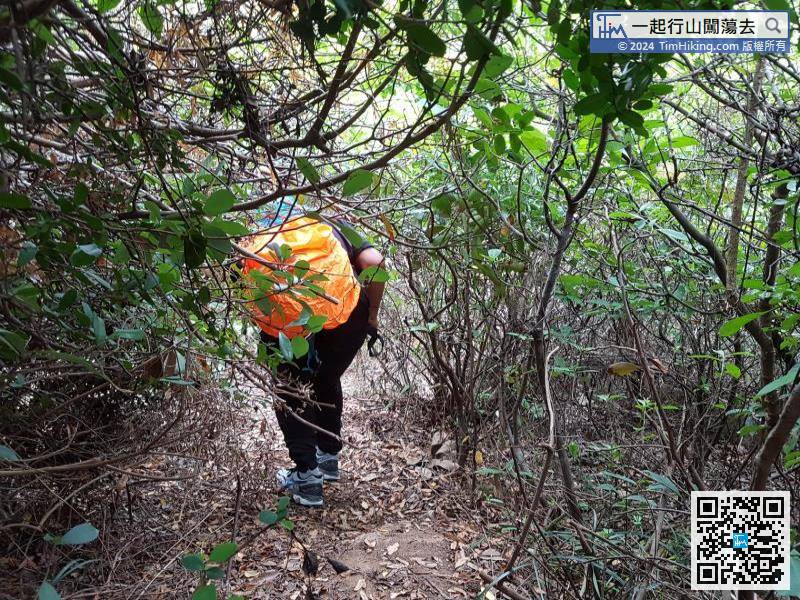
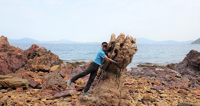
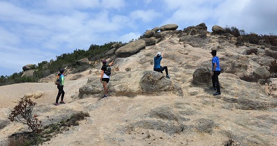
Move forward for about 1km, and there are signs to turn left into the mountain trail to Fan Lau, and formally enter the Fan Lau Country Trail.
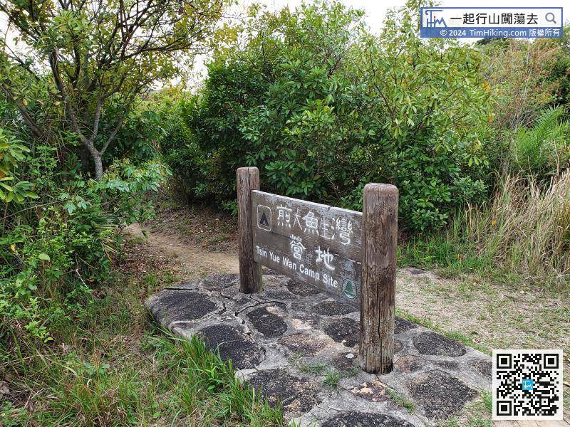
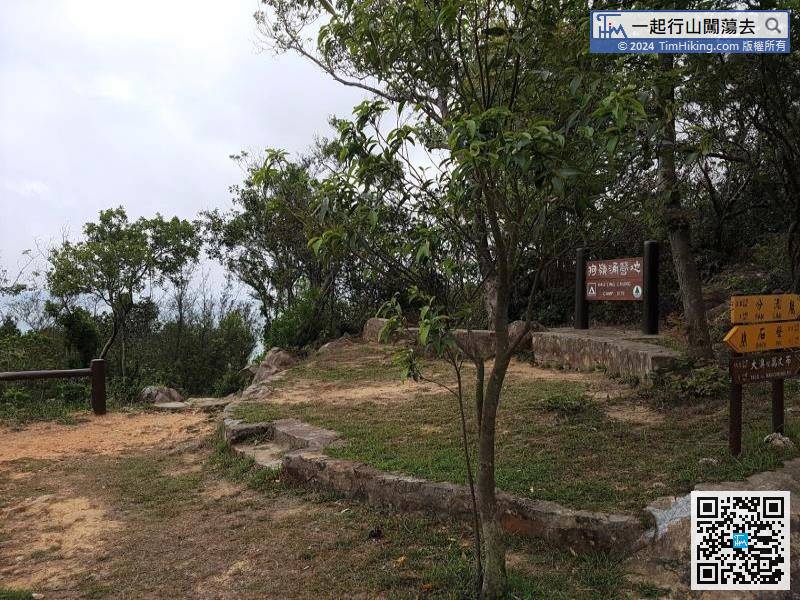
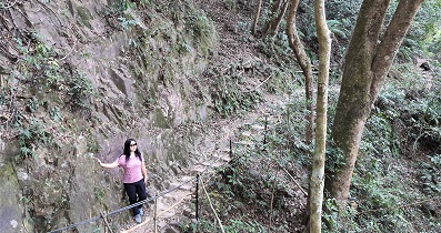
Just Go up, 10 minutes later, will pass Tsin Yue Wan Campsite.


