


 Recommend YouTube

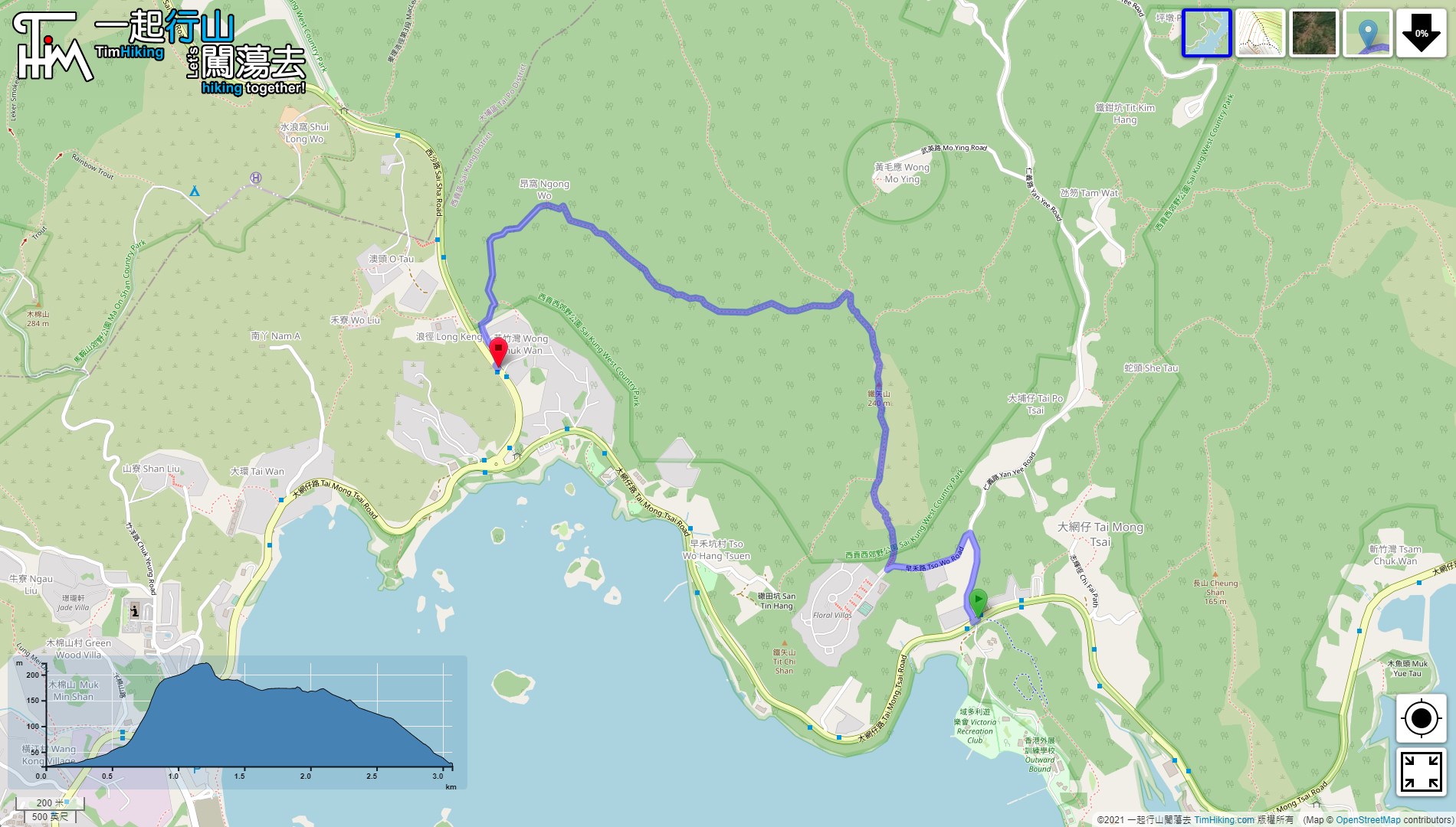


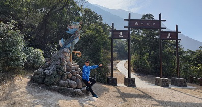
| View : |  | ||
| Difficulty : |  | ||
| Path : | |||
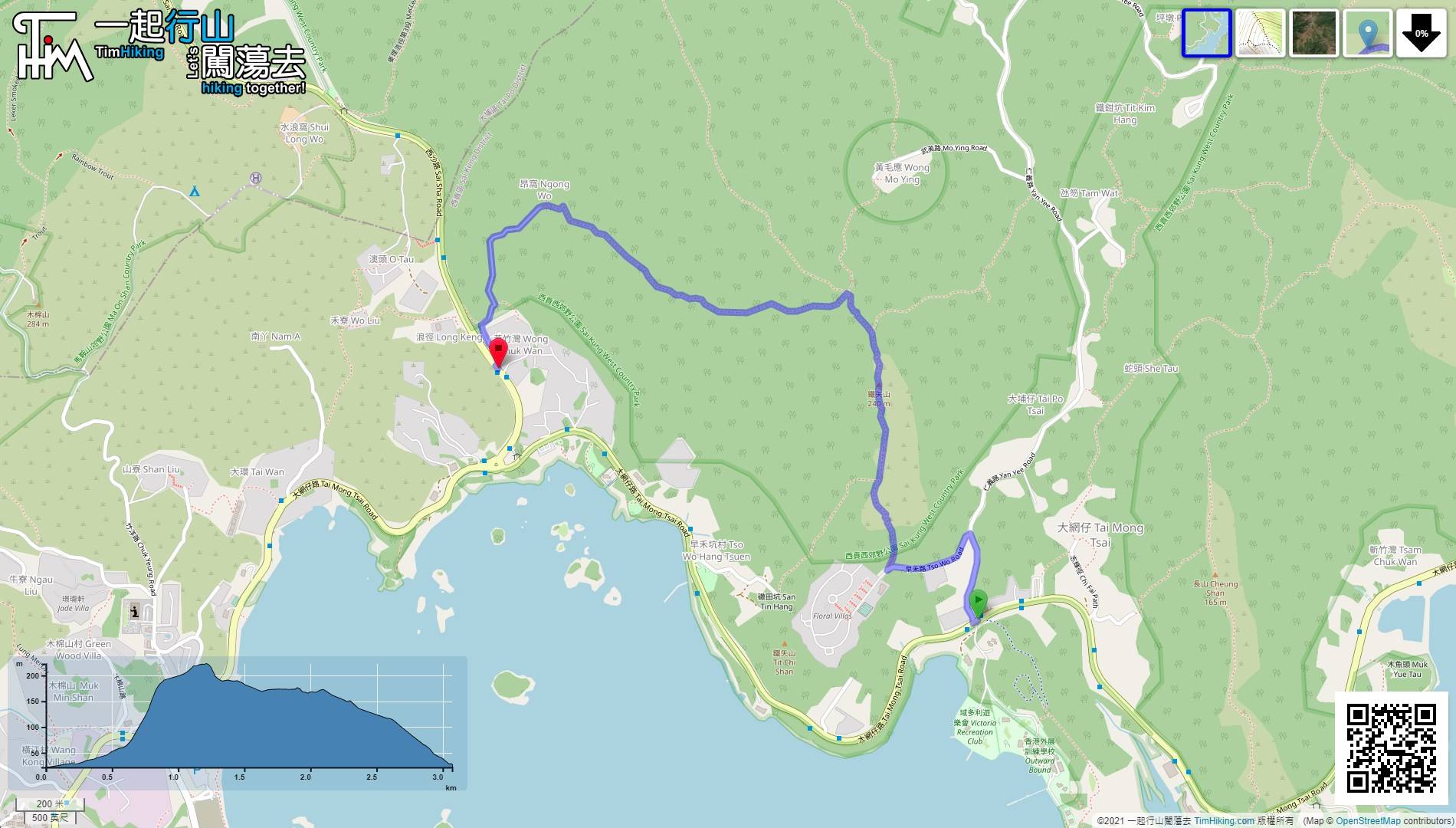
| Length : | 3.1km | ||
| Time : | 2½hours | ||
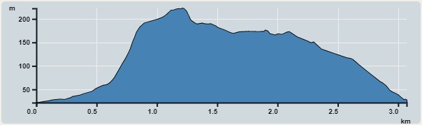 | |
| Ascent : 220m | Descent : 220m |
| Max : 222m | Min : 22m |
| (The accuracy of elevation is +/-30m) | |


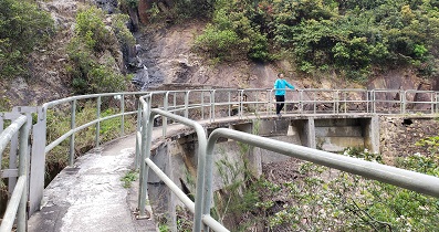
 9︰and will find a very narrow step, this is the climbing barren trail.
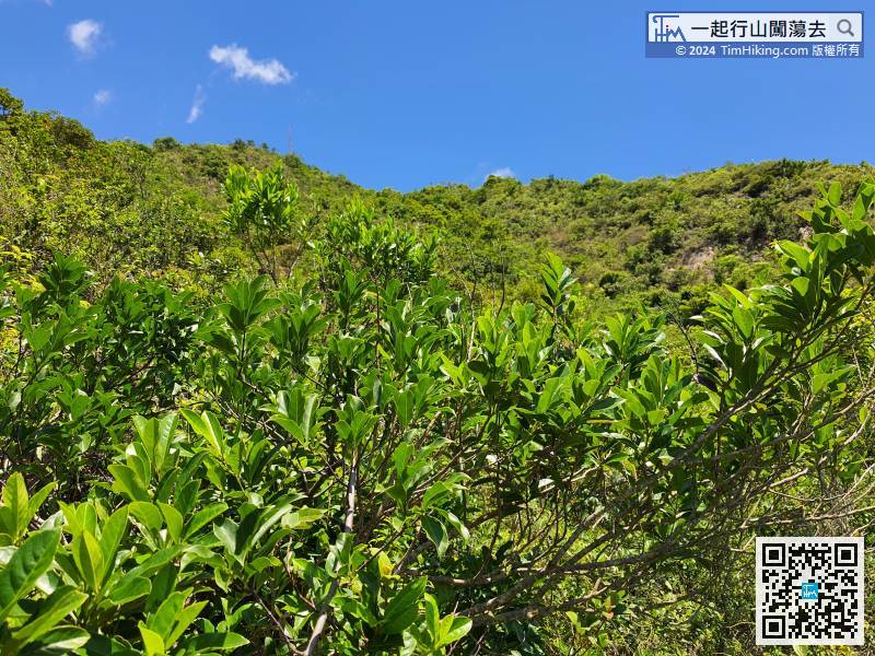
 18︰At the same time, the ascending speed also increased, and the scenery becomes vast and boundless in an instant.
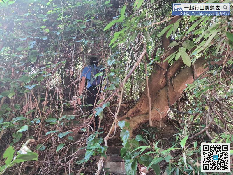
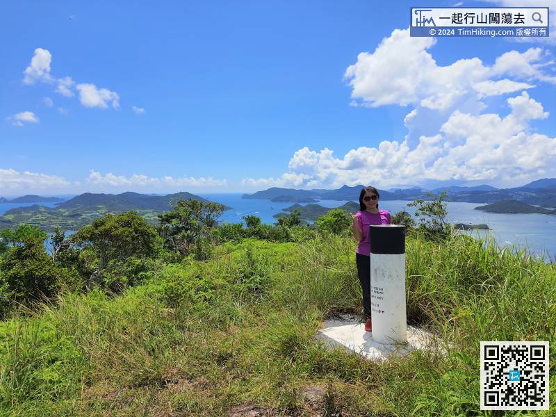
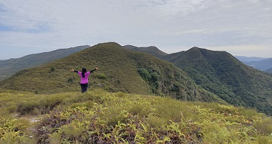
Do not think that the top of Tit Tsz Shan is in front, the top of Tit Tsz Shan is temporarily invisible.
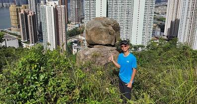
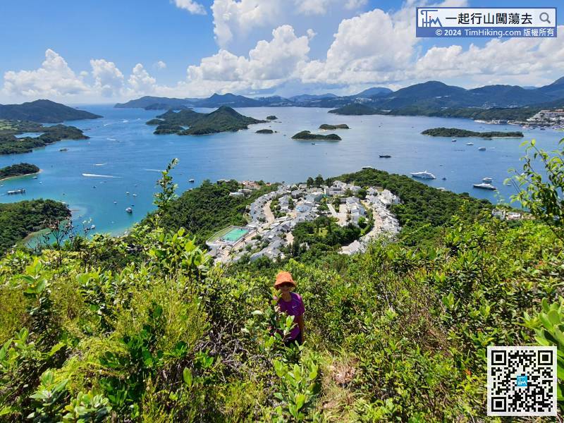 39︰besides is very flat, and there are also open scenery and mountain views. Let's take a rest.
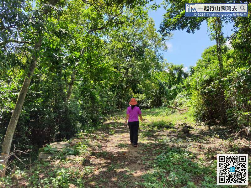
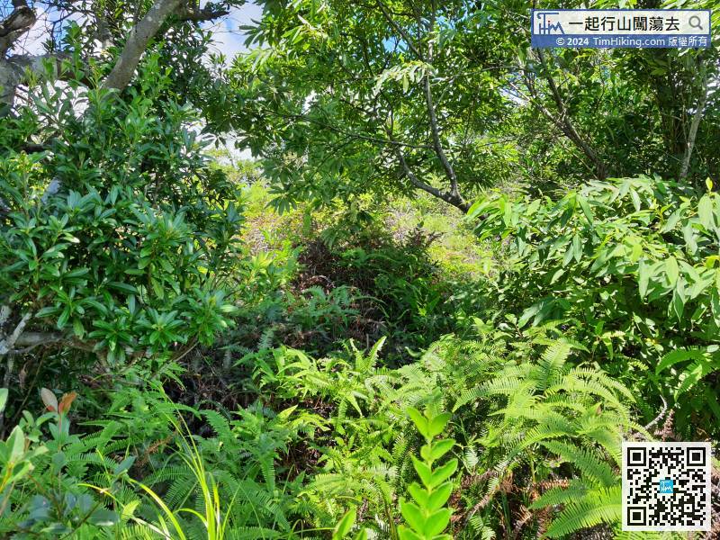 47︰This is a crossroad,
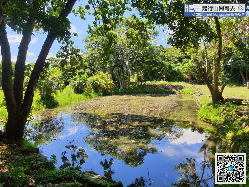
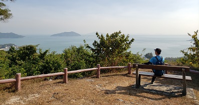
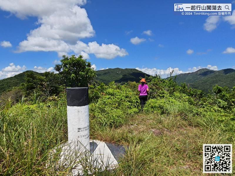


