Recommend YouTube


| View : |  | ||
| Difficulty : |  | ||
| Path : | |||
| Length : | 7km | ||
| Time : | 4½hours | ||
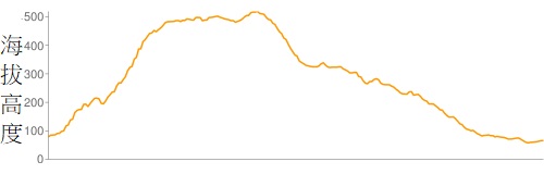 | |
| Ascent : 579m | Descent : 593m |
| Max : 519m | Min : 58m |
| (The accuracy of elevation is +/-30m) | |


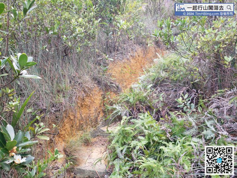
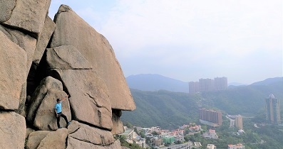
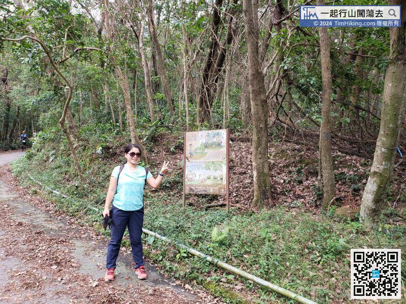
Use the iron slab to cross the catchwater, follow the mountain straight up,


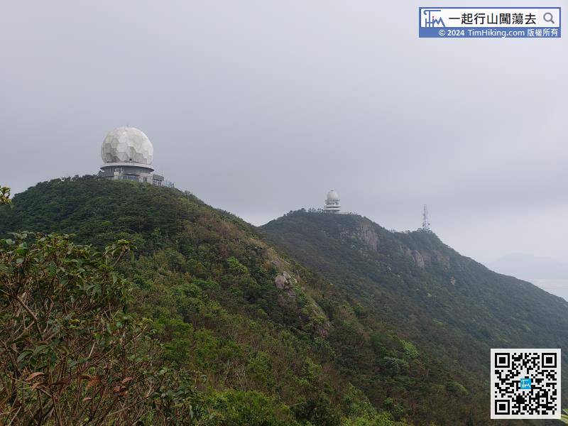
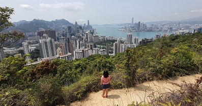
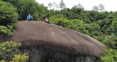
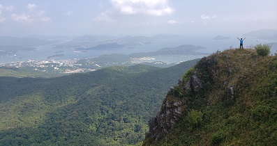
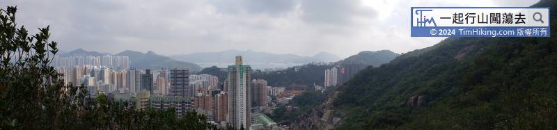
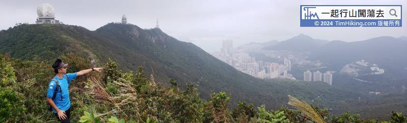
It takes less than half an hour to reach the Main Peak of Mount Parker.
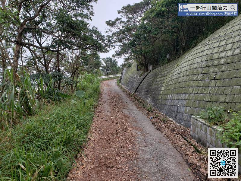
After crossing the forest, connect back to Mount Parker Road again,