


 Recommend YouTube

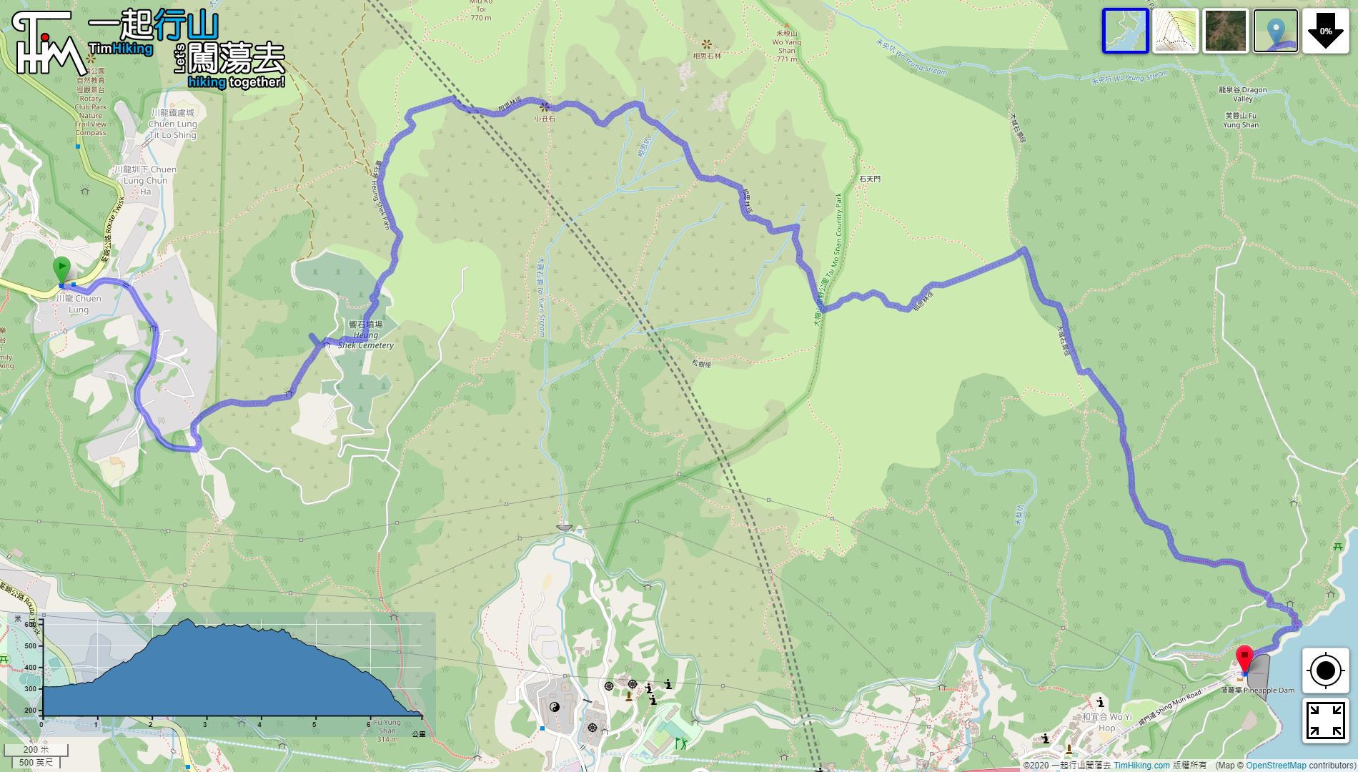


| View : |  | ||
| Difficulty : |  | ||
| Path : | |||
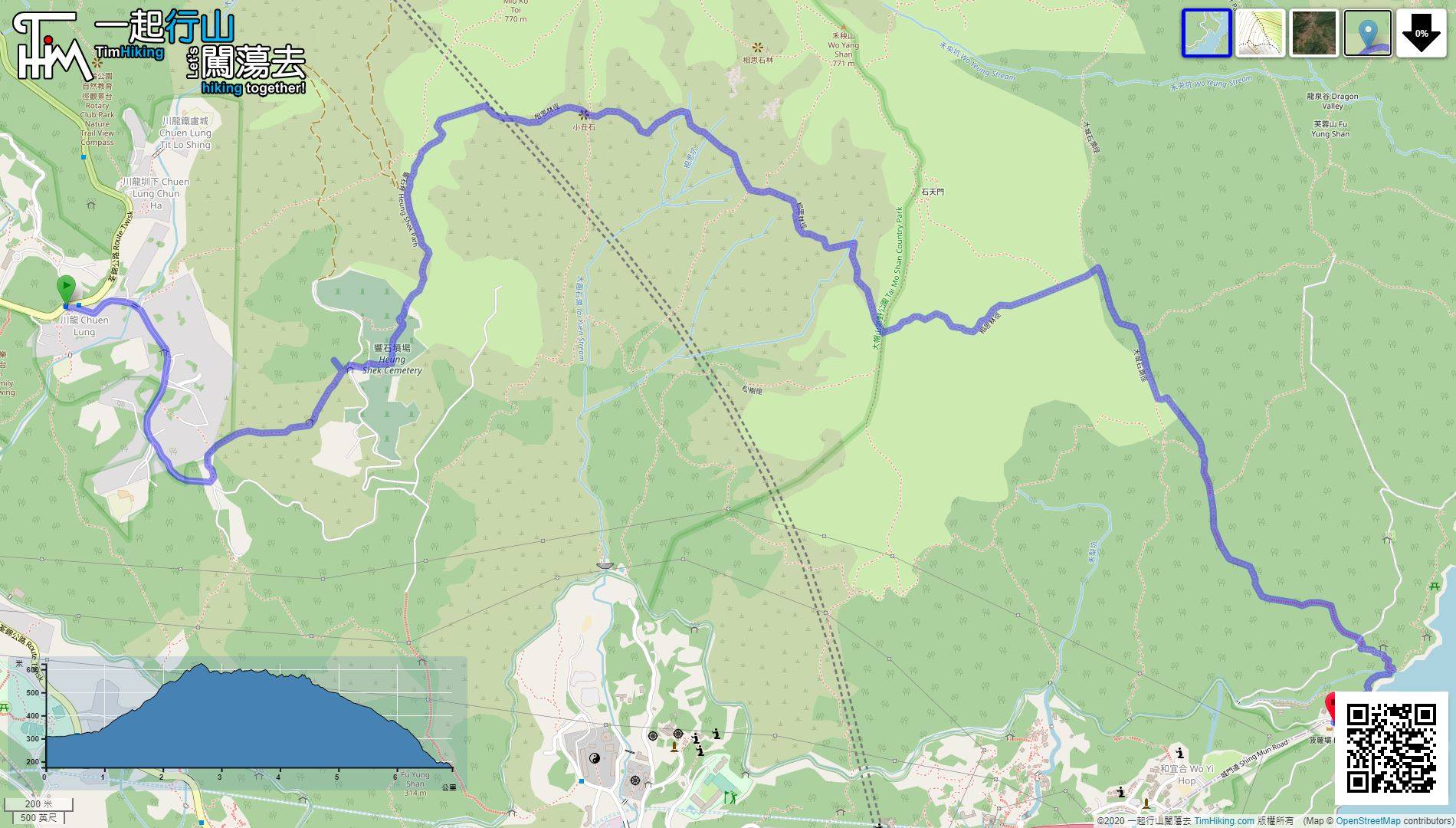
| Length : | 7km | ||
| Time : | 3hours | ||
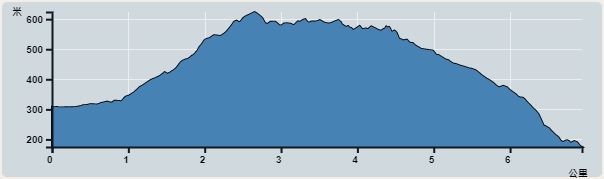 | |
| Ascent : 498m | Descent : 620m |
| Max : 624m | Min : 176m |
| (The accuracy of elevation is +/-30m) | |


Starting at Chuen Lung, take minibus 80 at Tsuen Wan Chuen Lung Street,
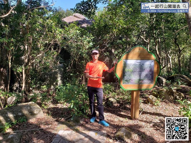
Chuen Lung Heung Shek is within 20 meters. A wooden sign is erected in front of Heung Shek.
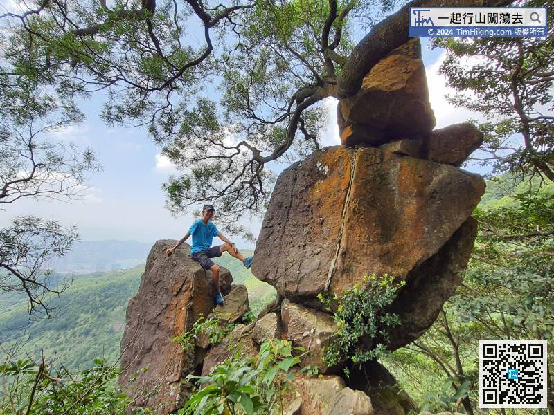
 27︰which is Clown Rock.
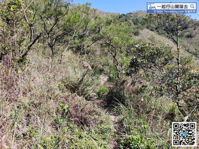
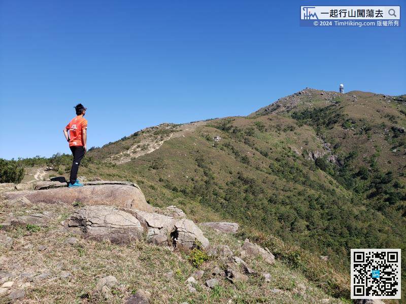
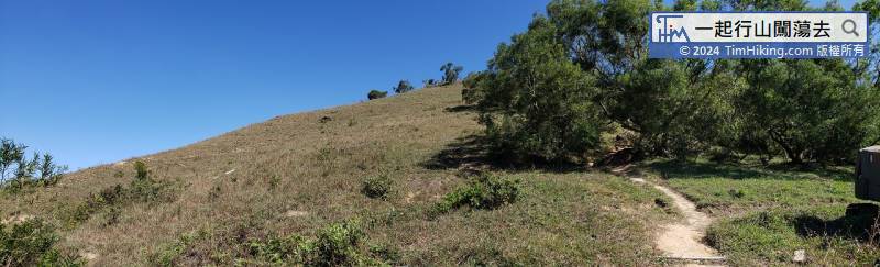
This mountain trail is fewer hikers, there are more grasses, but not too dense.
38︰just follow the sign to the Shing Mun Reservoir.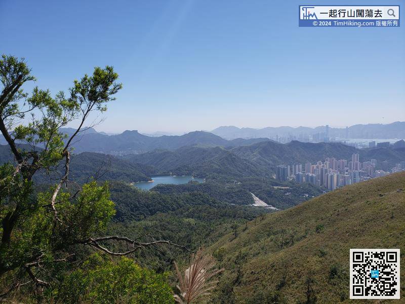


