


 Recommend YouTube


| View : |  | ||
| Difficulty : |  | ||
| Path : | |||
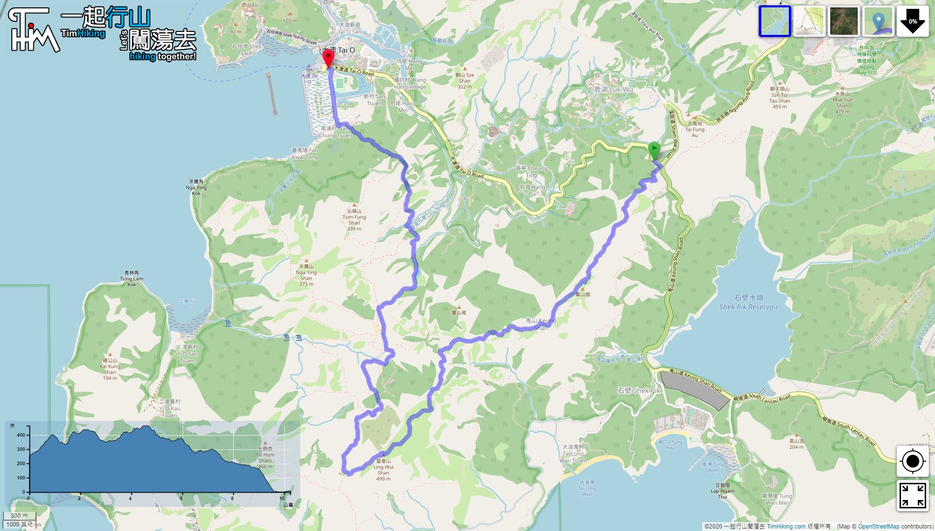
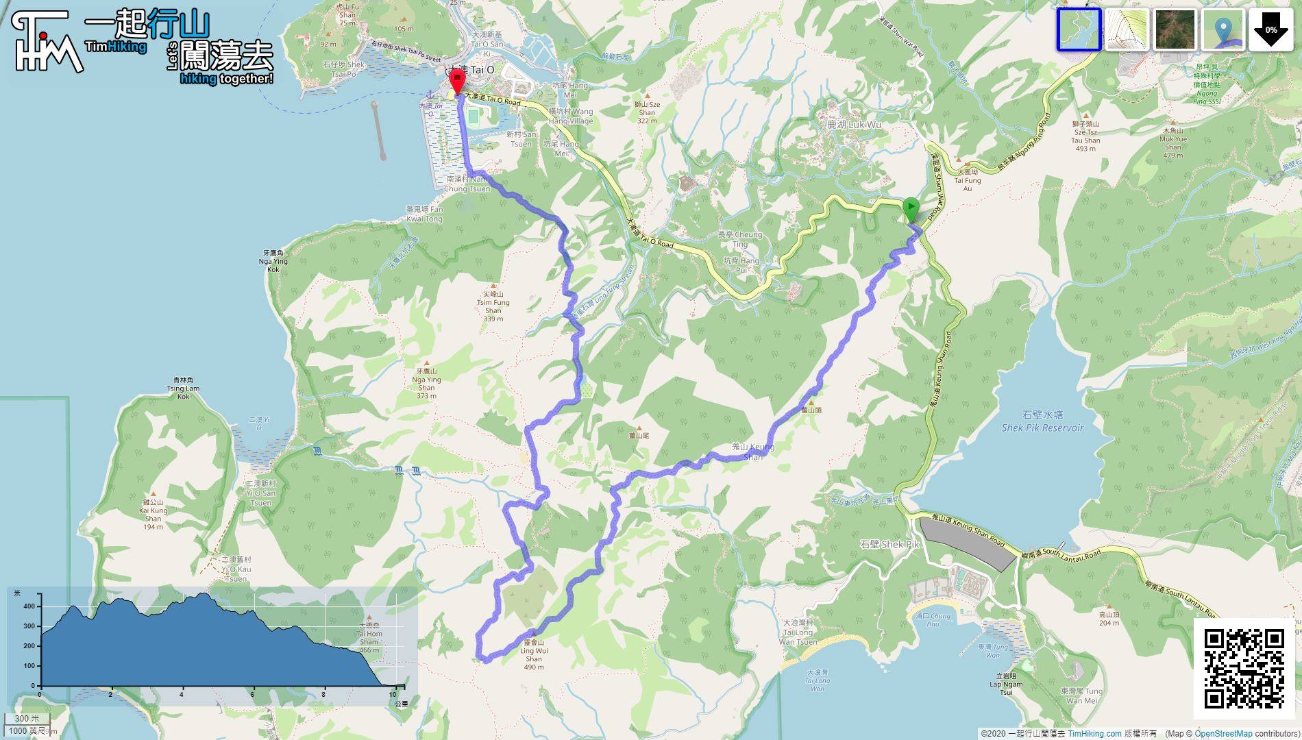
| Length : | 10.2km | ||
| Time : | 5hours | ||
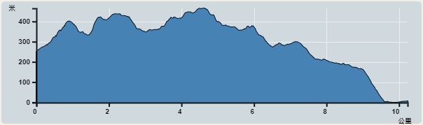 | |
| Ascent : 575m | Descent : 828m |
| Max : 465m | Min : 0m |
| (The accuracy of elevation is +/-30m) | |


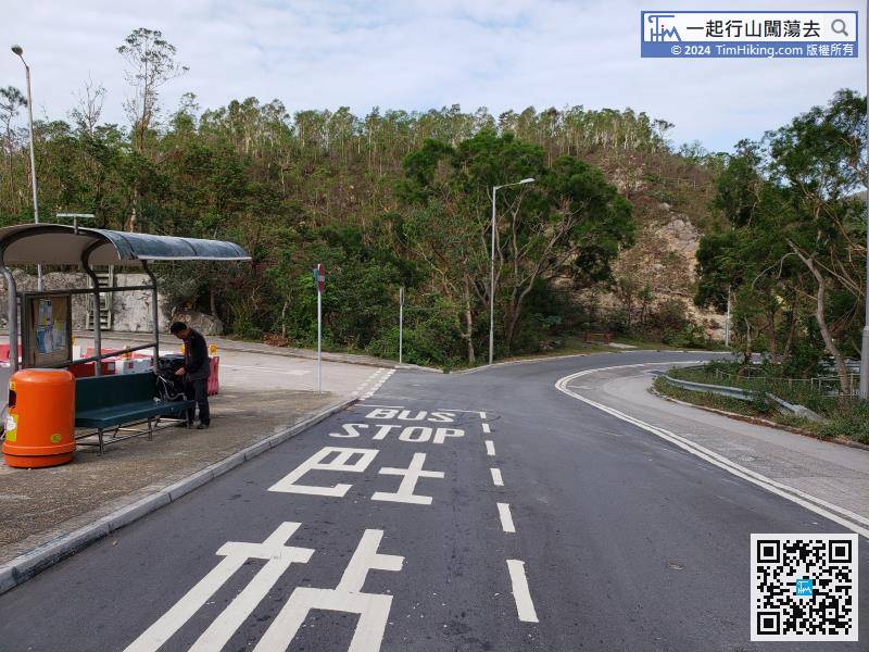
The starting point is near Sham Wat Road. You can take Lantau Bus 11 to get there.
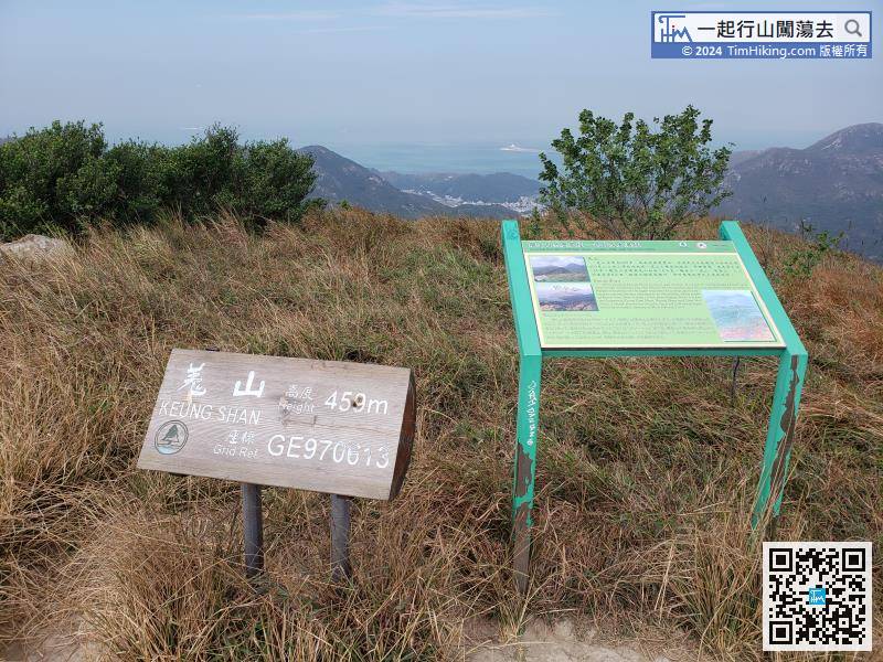
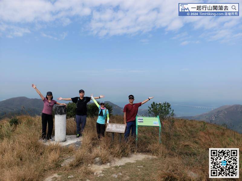
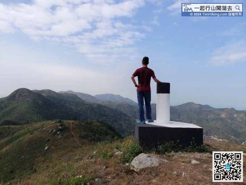
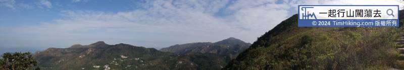
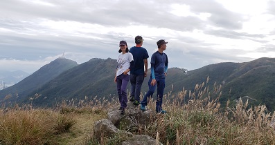
Keung Shan has a trigonometrical station with a coordinate sign that 'Keung Shan 459m GE970613'.


