


 Recommend YouTube


| View : |  | ||
| Difficulty : |  | ||
| Path : | |||
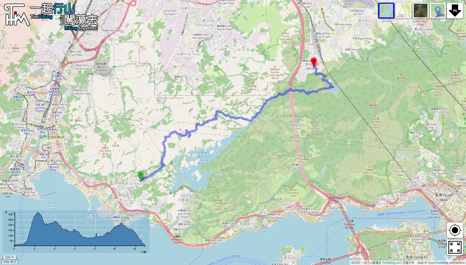
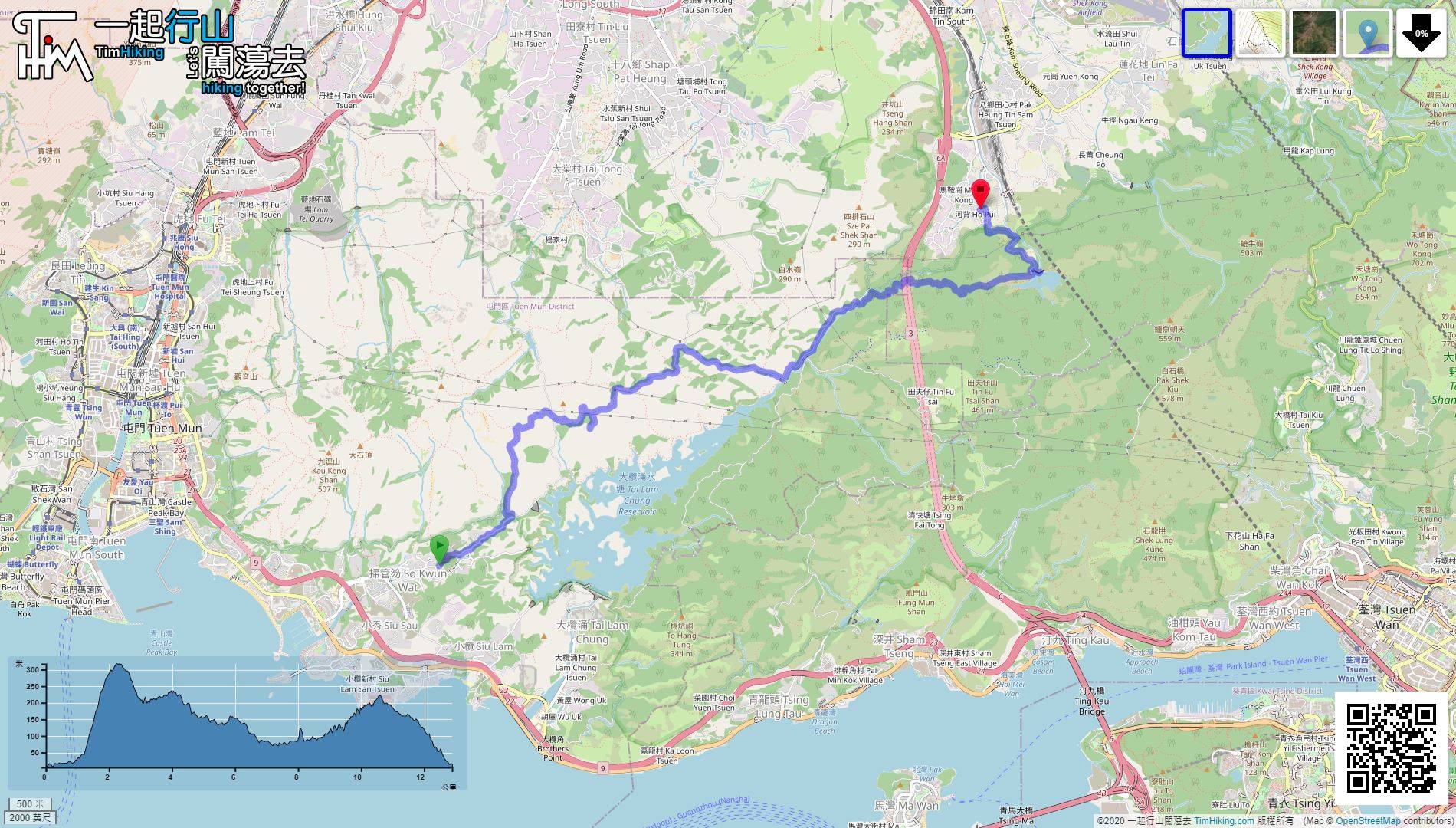
| Length : | 12.9km | ||
| Time : | 6hours | ||
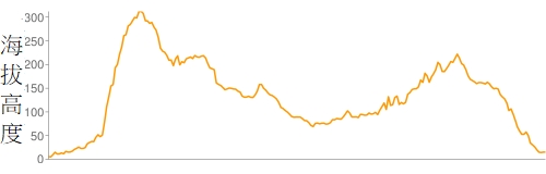 | |
| Ascent : 837m | Descent : 830m |
| Max : 317m | Min : 5m |
| (The accuracy of elevation is +/-30m) | |


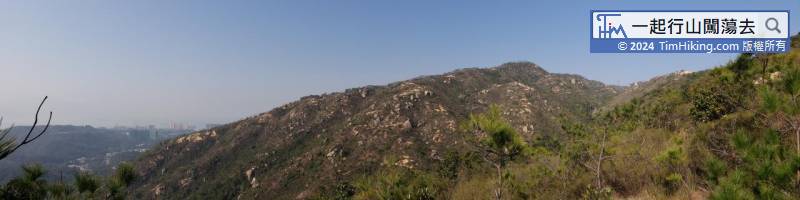
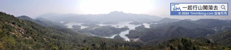
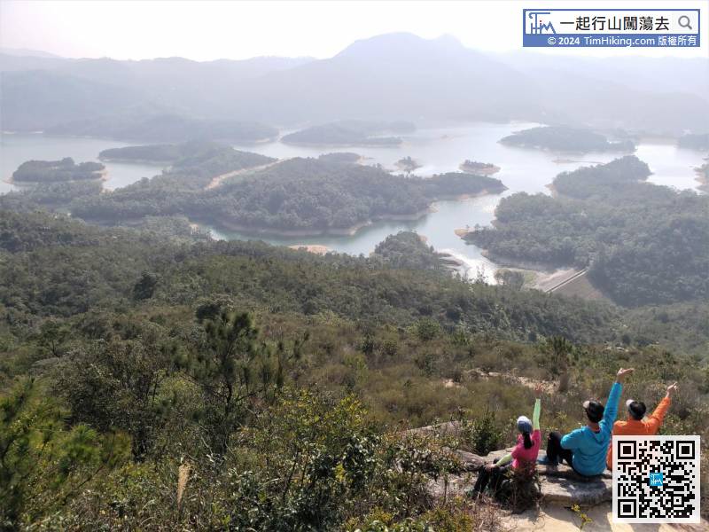
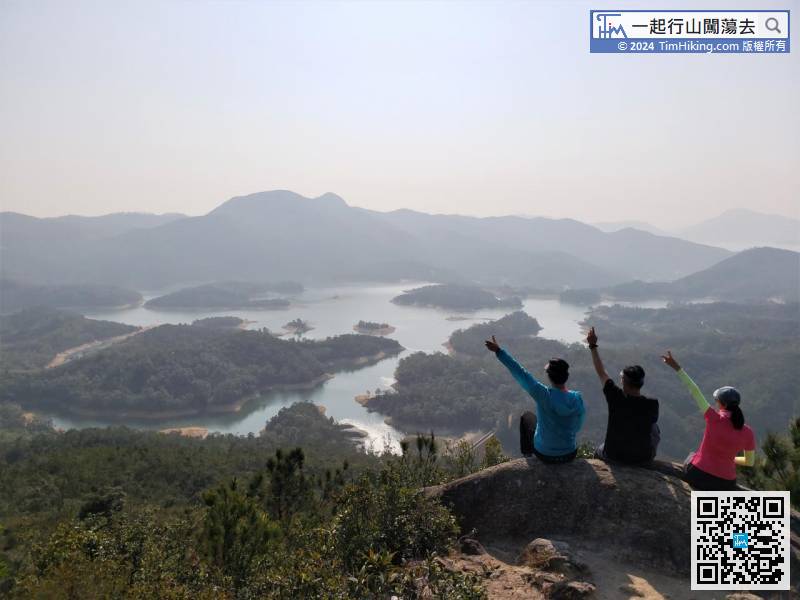
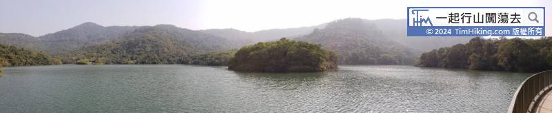
From a height, can see clearly that more than a dozen small islands of different shapes and sizes are scattered in Tai Lam Chung Reservoir,

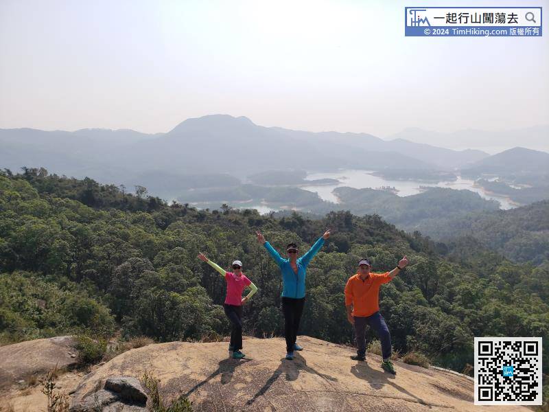
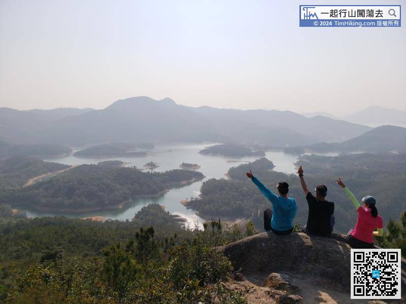
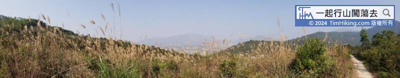
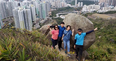
After climbing the large stone slab, is the best place to overlook Tai Lam Chung Reservoir Viewpoint B.
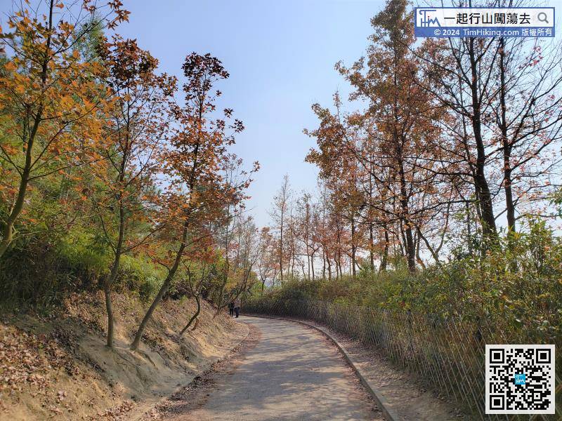
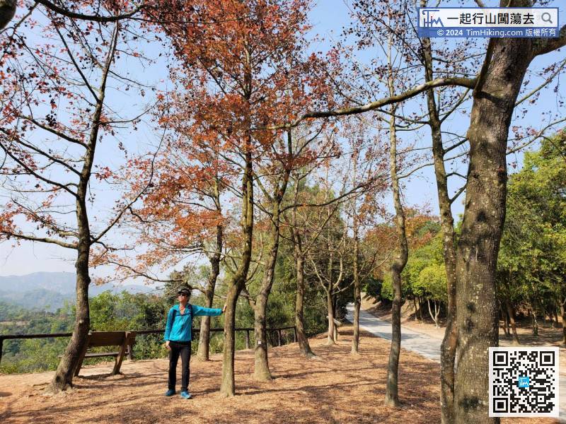
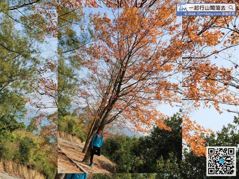
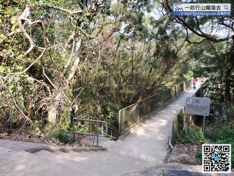
As soon as stepping into Sweet Gum Woods, will tightly surround by Sweet Gum Woods on both sides.


