


 Recommend YouTube


| View : |  | ||
| Difficulty : |  | ||
| Path : | |||
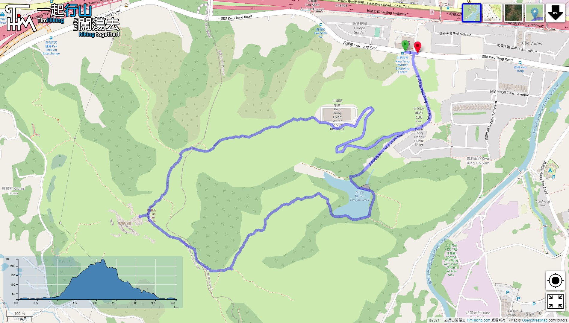
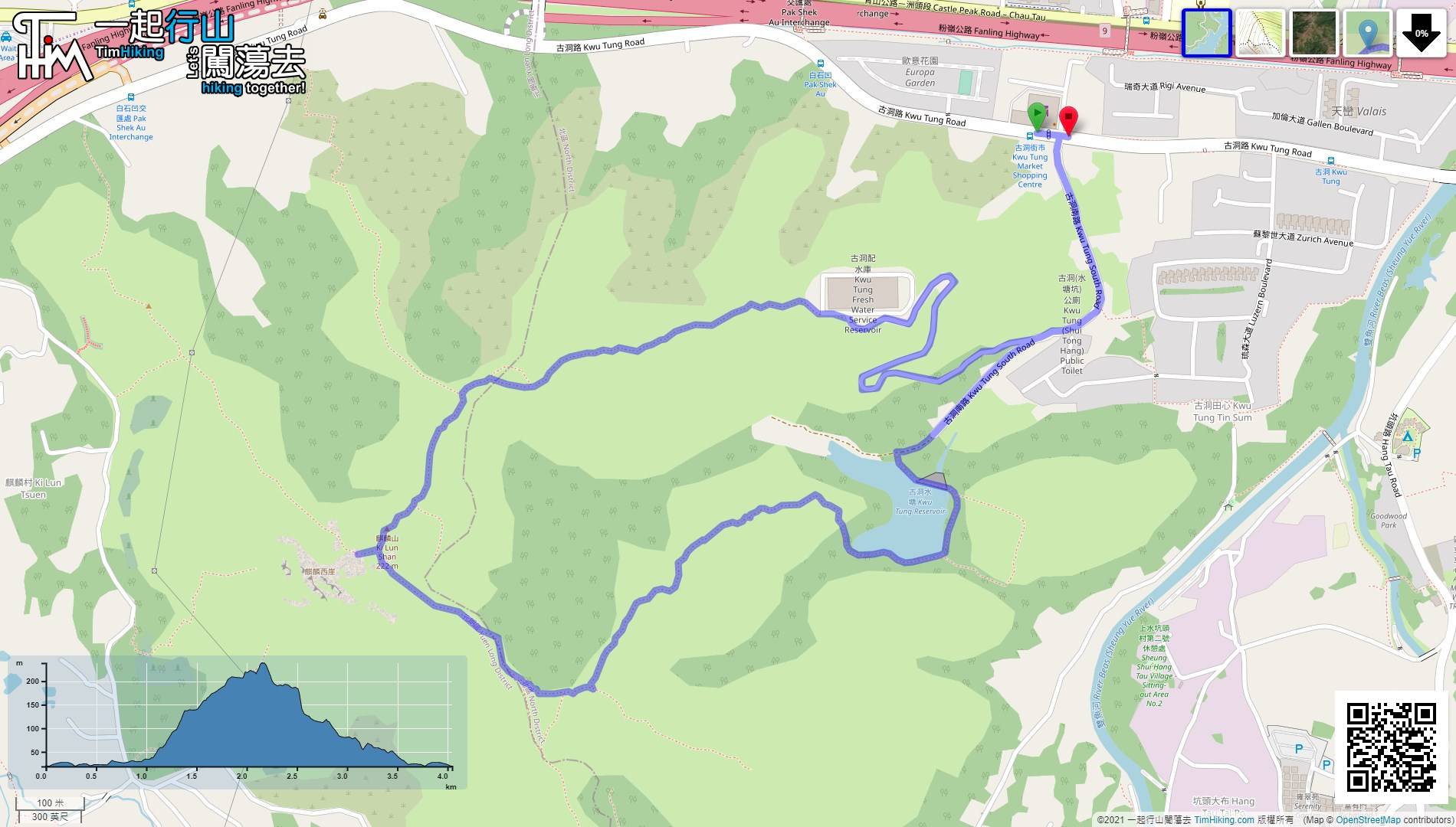
| Length : | 4.1km | ||
| Time : | 2hours | ||
 | |
| Ascent : 271m | Descent : 271m |
| Max : 190m | Min : 19m |
| (The accuracy of elevation is +/-30m) | |


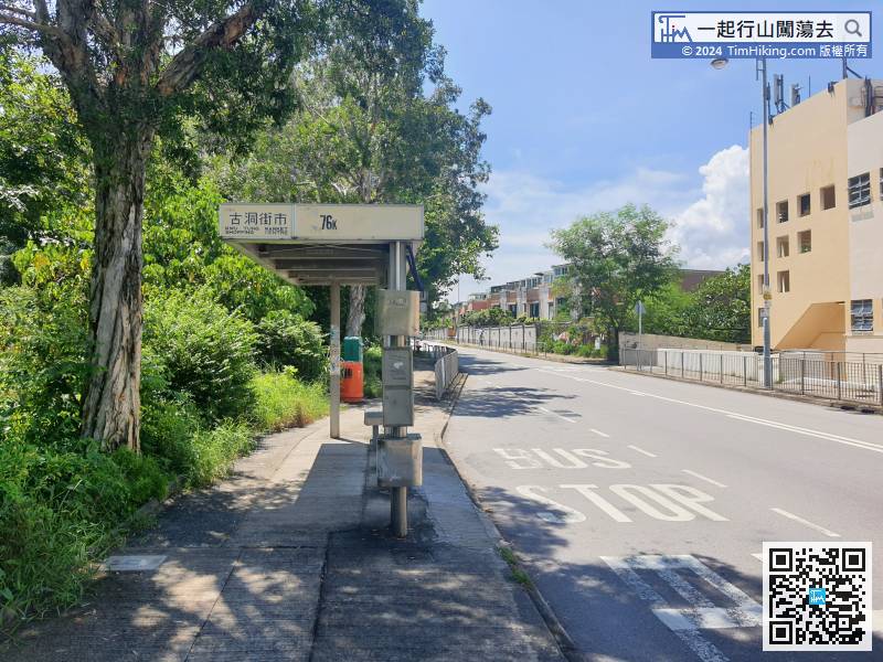
First, go to Sheung Shui Station, then transfer to minibus 50A/605 or bus 76K, and get off at Kwu Tung Market.
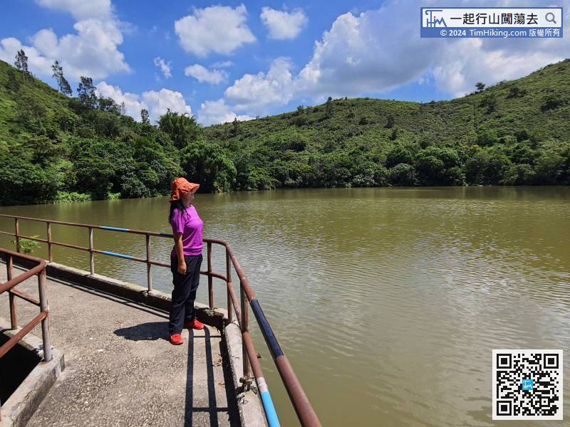
 12︰The reservoir is very quiet, like Tsing Tam Reservoir.
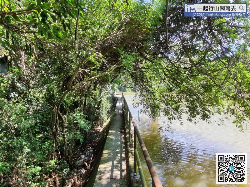
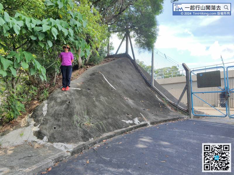
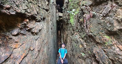
When stepping on the Kwu Tung Reservoir Dam, the front section is very narrow and must be very careful.
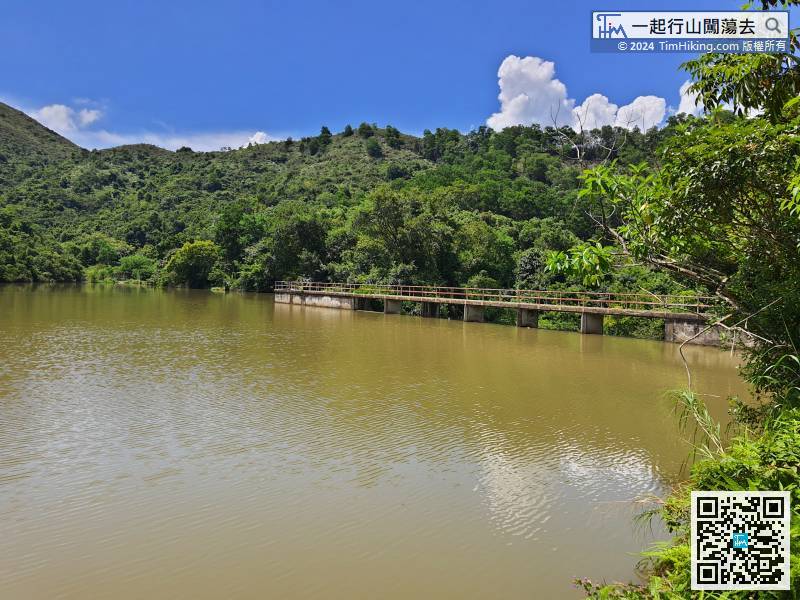
The small reservoir with nice surroundings, sparsely populated, and very quiet.
34︰and when reaching a small flat land, turn right to Ki Lun Shan, turn left is the trail to Ki Lun Shan Au.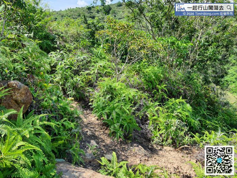
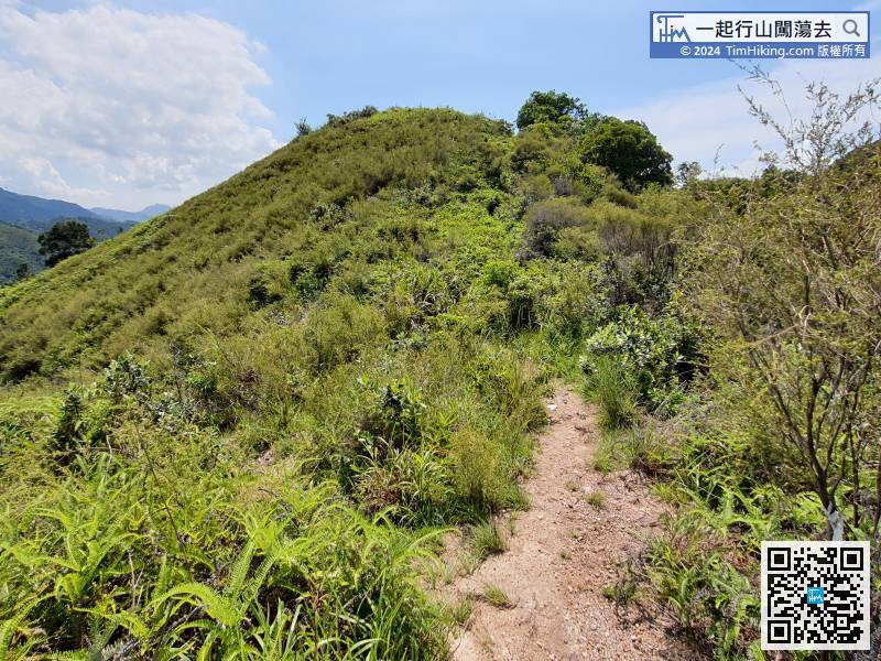
The next bifurcation is going along the ridge towards the top of the mountain.
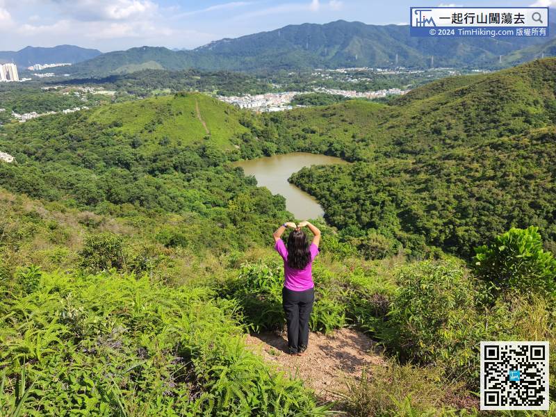
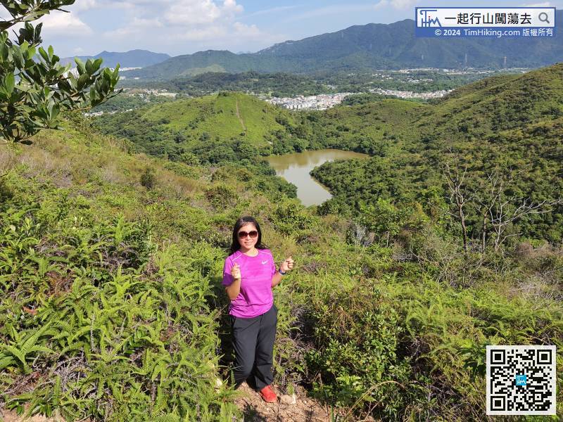
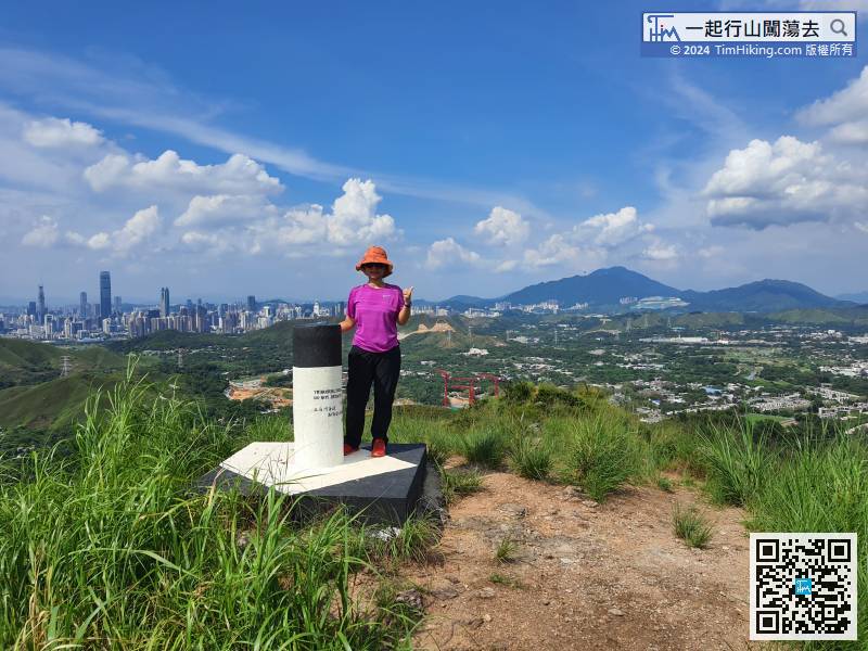
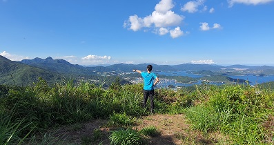
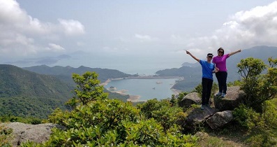
44︰At the top of Ki Lun West Cliff, can first go to the left to take a look at the fish pond landscape, and the other side is Shenzhen.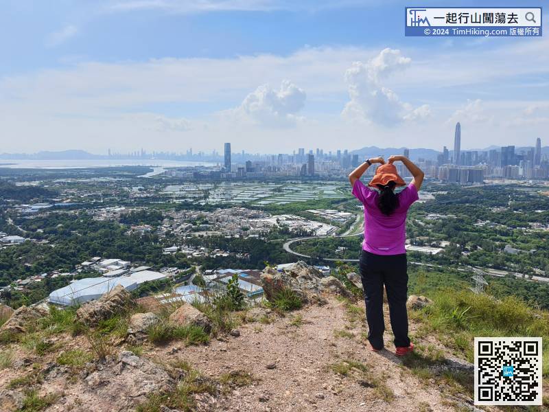
At the top of Ki Lun West Cliff, can first go to the left to take a look at the fish pond landscape, and the other side is Shenzhen.
56︰and the most ideal location is at the end.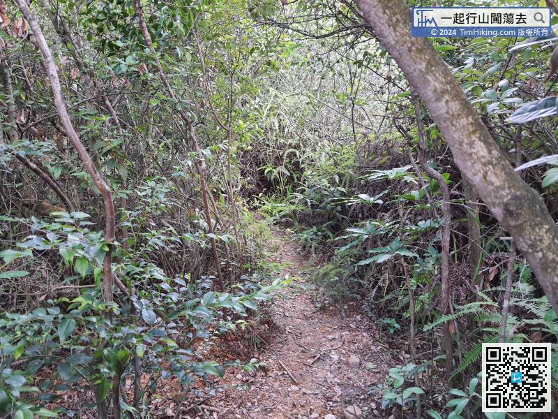
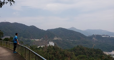
There are not many places where can see Heart Lake, because there are big trees around.


