


 Recommend YouTube


| View : |  | ||
| Difficulty : |  | ||
 (6k Pak Lap leave) | |||
| Path : | |||
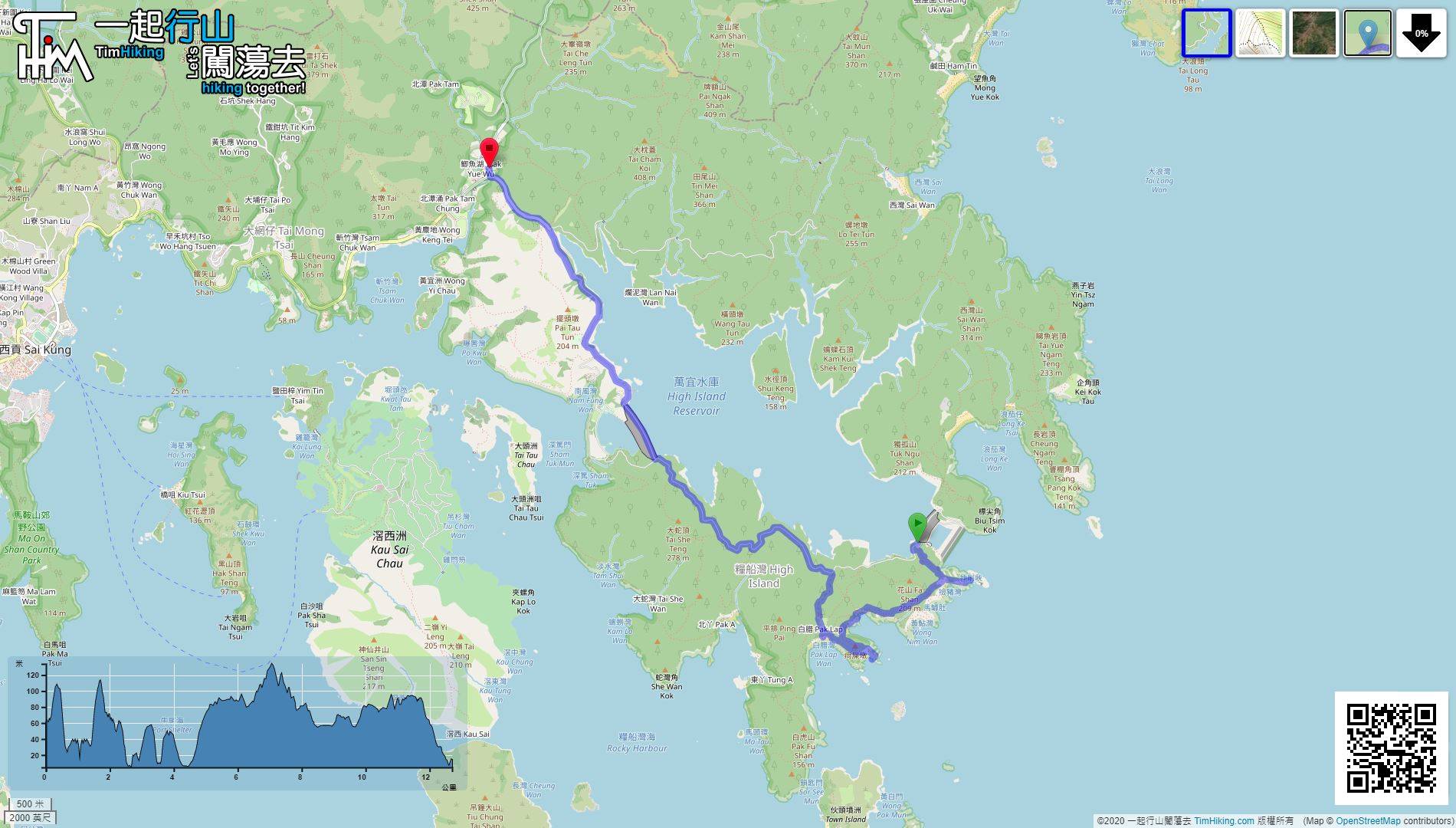
| Length : | 12.8km | ||
| Time : | 8hours | ||
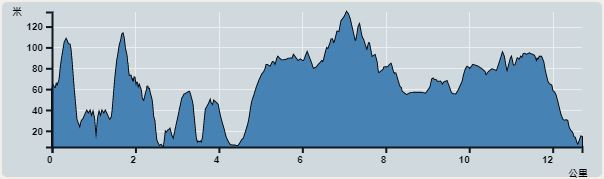 | |
| Ascent : 689m | Descent : 730m |
| Max : 134m | Min : 4m |
| (The accuracy of elevation is +/-30m) | |

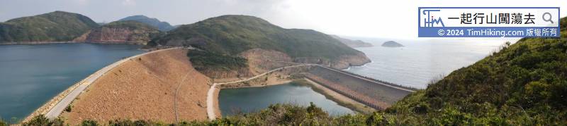
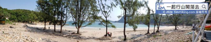
 Pak Lap Wan Store
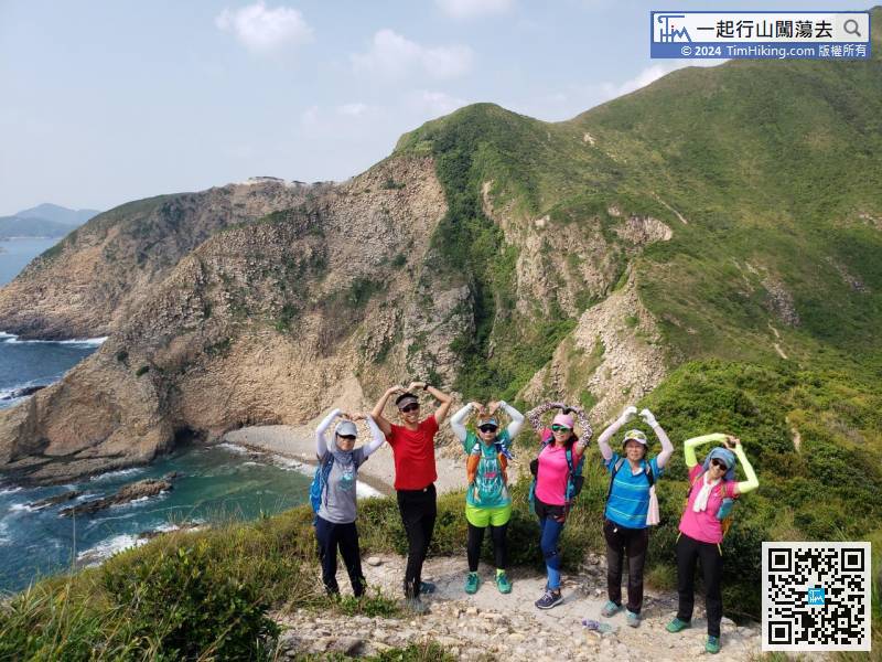
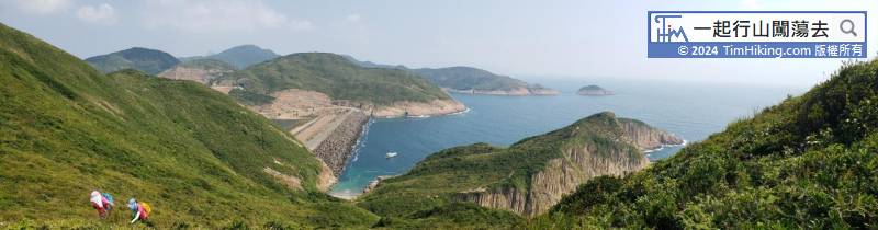
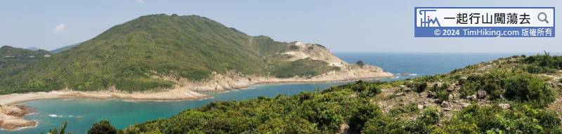
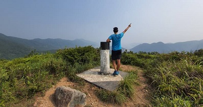
 22︰Before going any further, can see Kim Chu Wan from a height.
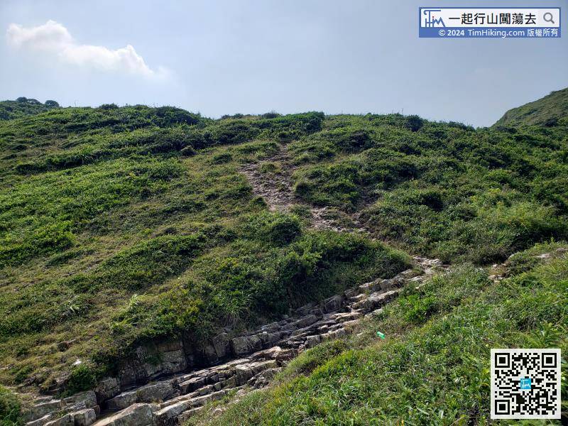
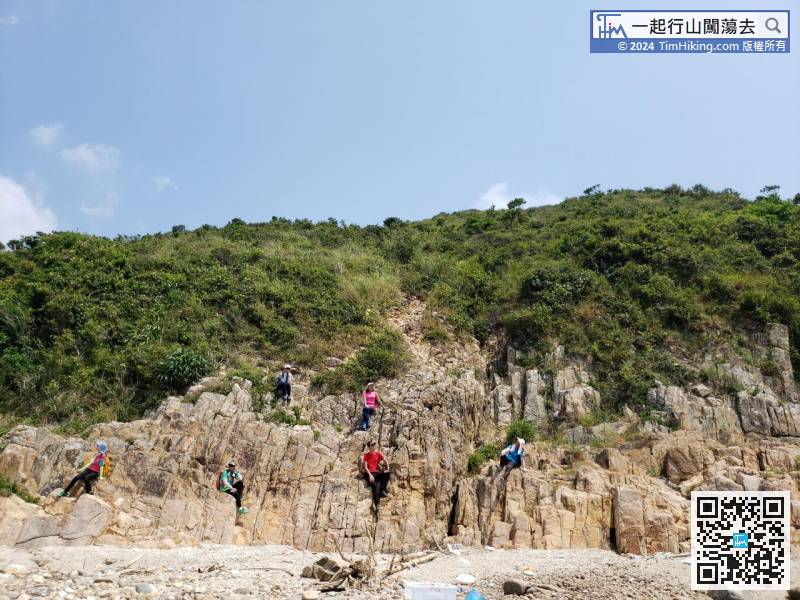
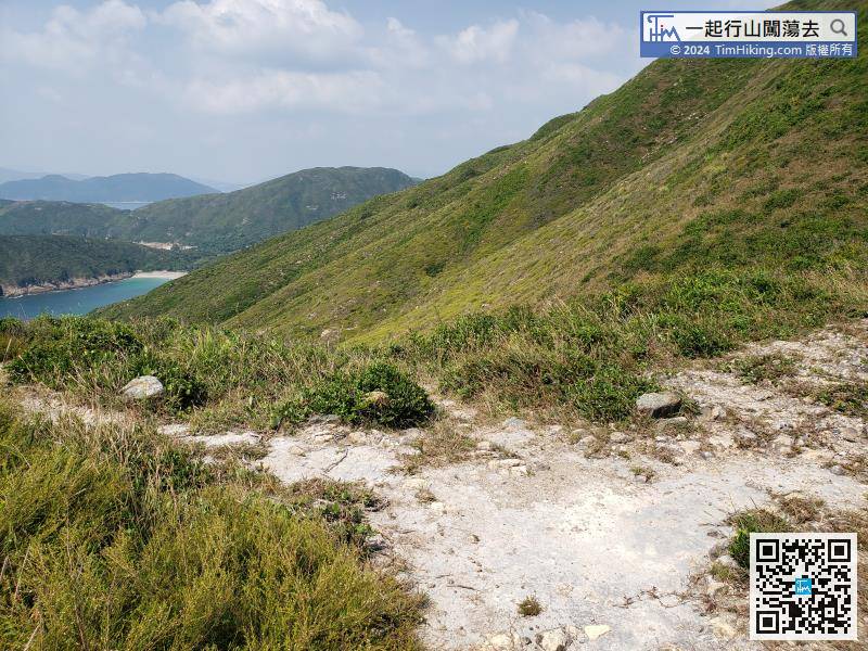
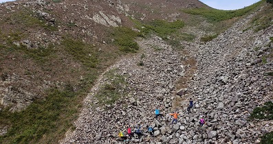
After climbing up the gravel slope section,
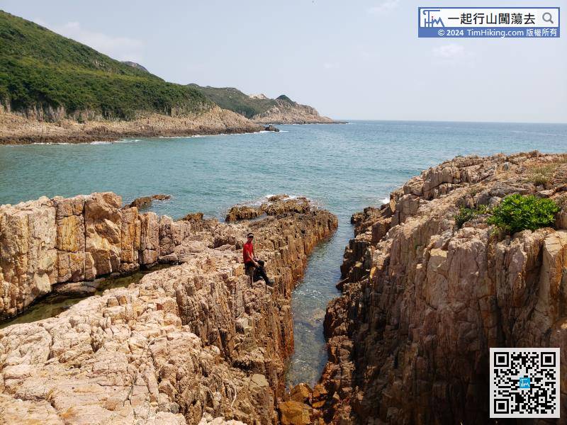
Cross the deep ditch on the side of the mountain,
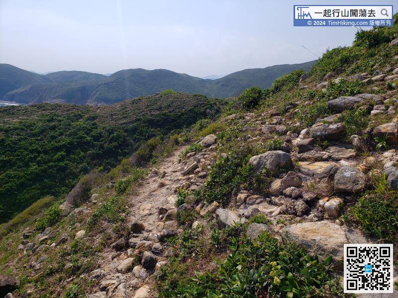
This section is a relatively easy mountain trail,


