


 Recommend YouTube


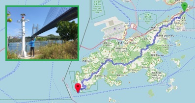
| View : |  | ||
| Difficulty : |  | ||
| Path : | |||
| Length : | 5.9km | ||
| Time : | 4hours | ||
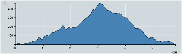 | |
| Ascent : 611m | Descent : 615m |
| Max : 465m | Min : 0m |
| (The accuracy of elevation is +/-30m) | |


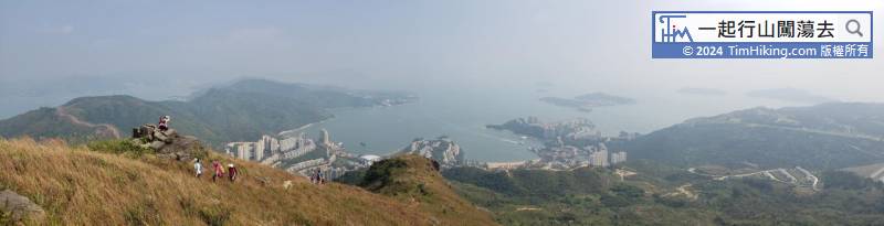

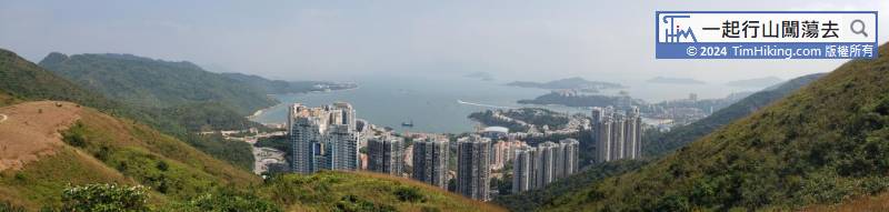
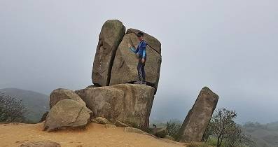
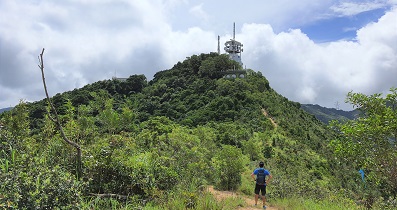
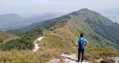
Lo Fu Tau seems to be seen from above. The two rocks next to it are tiger ears, and the mountain trail is tiger ridge.


