


 Recommend YouTube


| View : |  | ||
| Difficulty : |  | ||
| Path : | |||
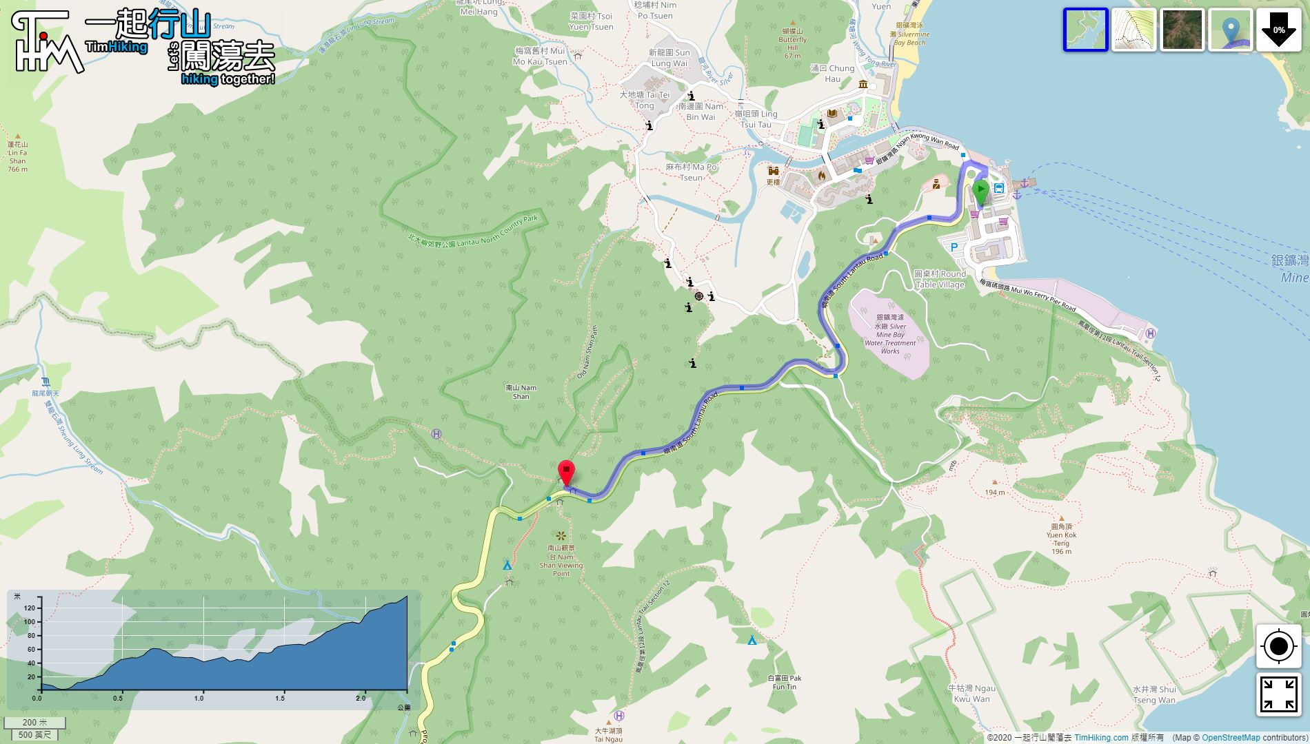
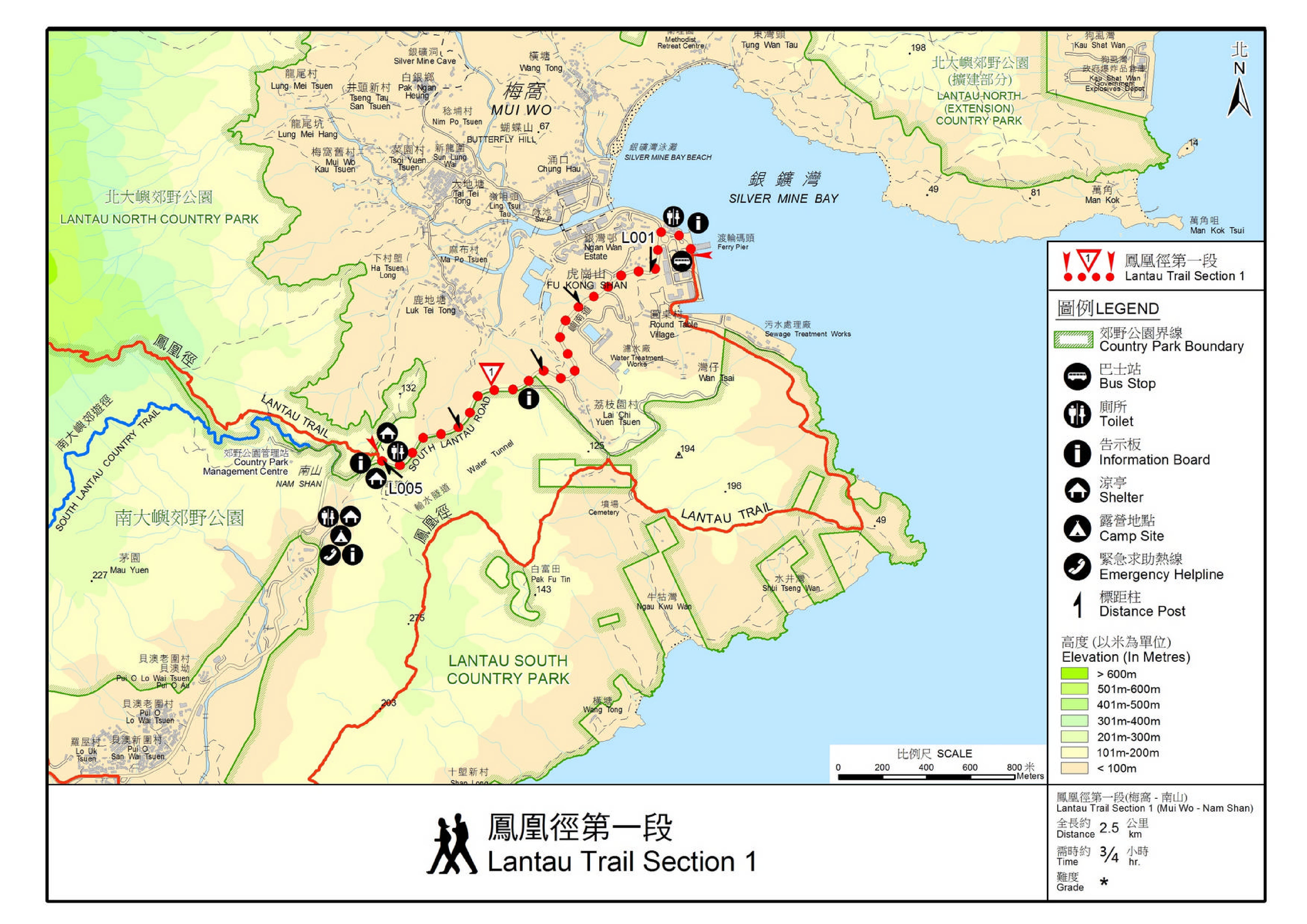
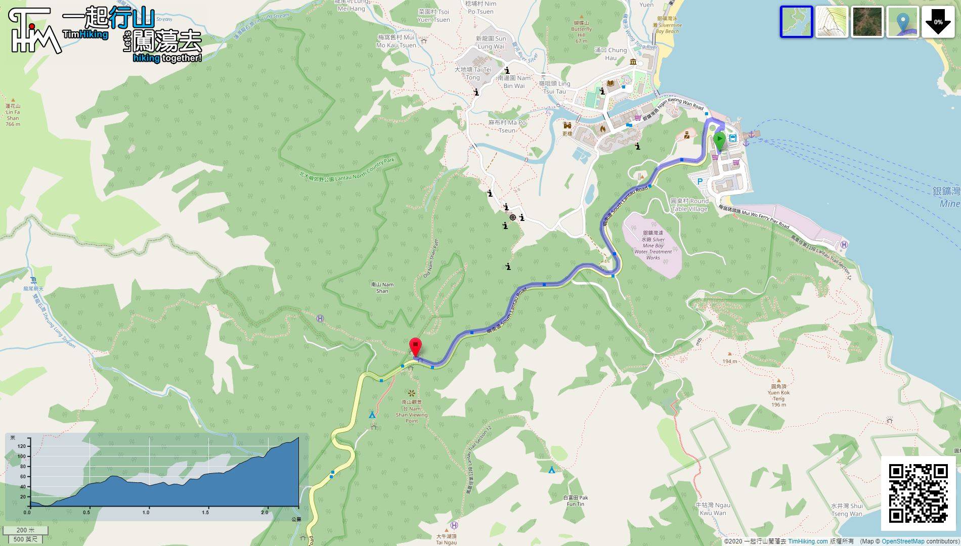
| Length : | 2.3km | ||
| Time : | ¾hours | ||
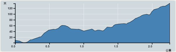 | |
| Ascent : 165m | Descent : 45m |
| Max : 136m | Min : 1m |
| (The accuracy of elevation is +/-30m) | |


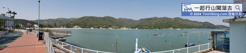
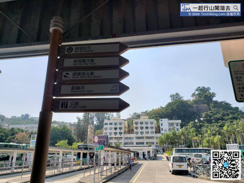
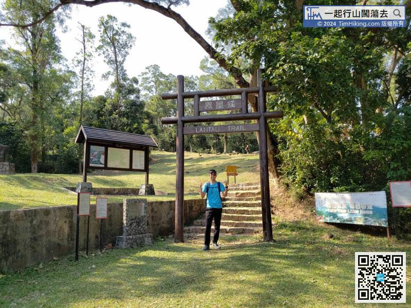
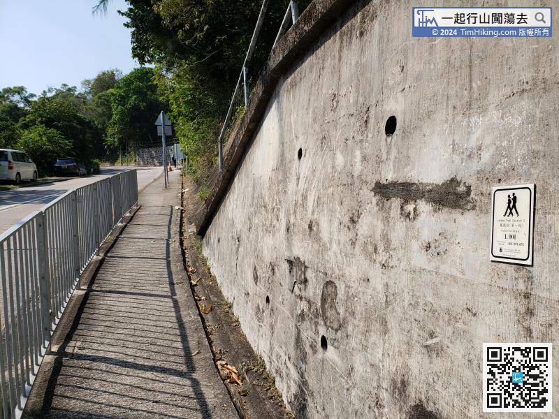
The starting point is Mui Wo. You can choose to take the ferry from Central or take the bus 3M to Tung Chung.
Official Map


