


 Recommend YouTube


| View : |  | ||
| Difficulty : |  | ||
| Path : | |||
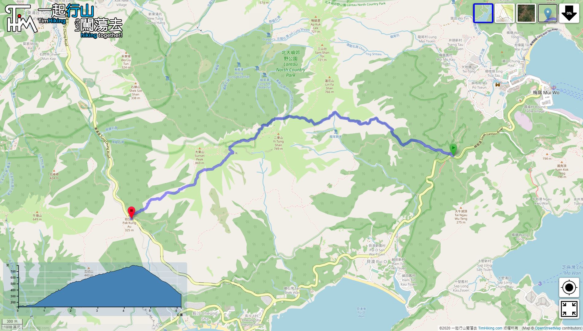
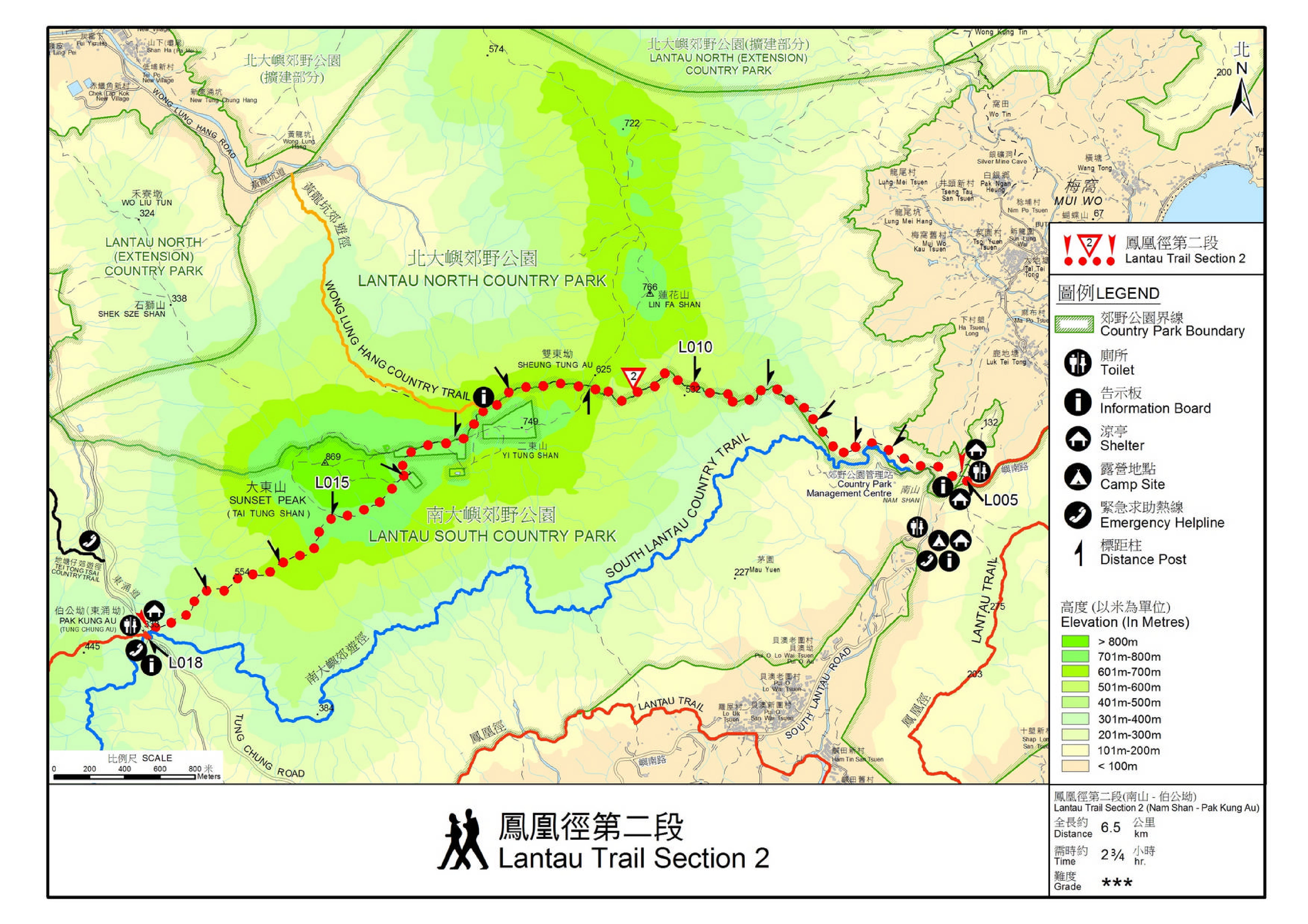
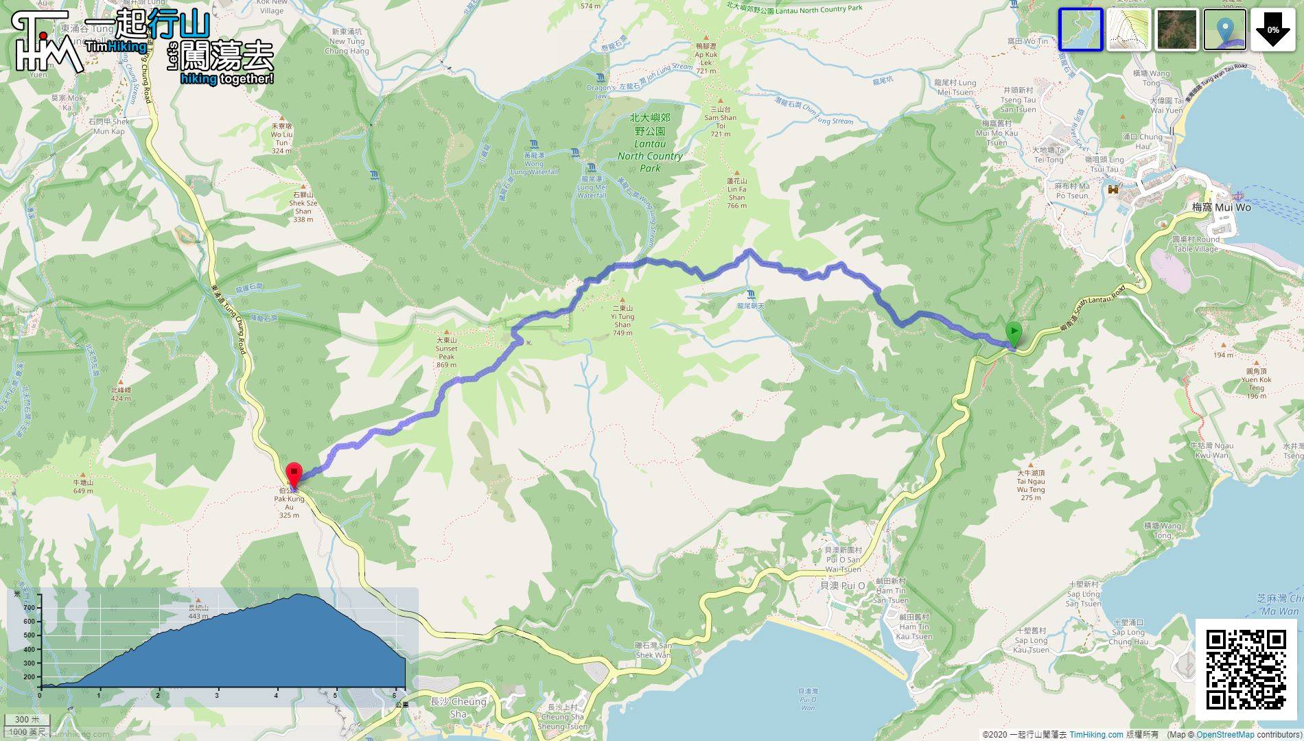
| Length : | 6.2km | ||
| Time : | 2¾hours | ||
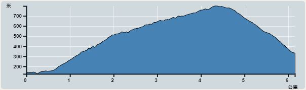 | |
| Ascent : 762m | Descent : 562m |
| Max : 797m | Min : 125m |
| (The accuracy of elevation is +/-30m) | |


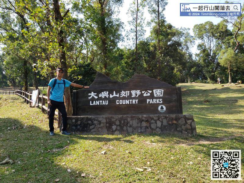
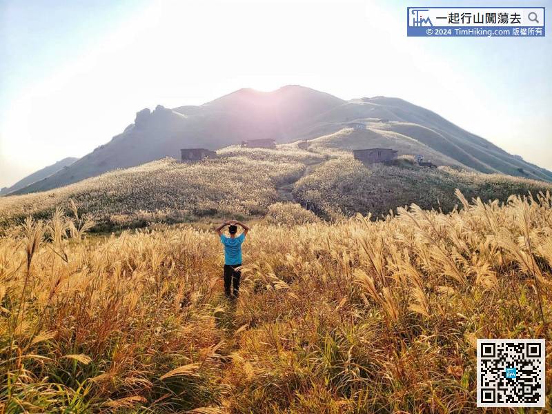
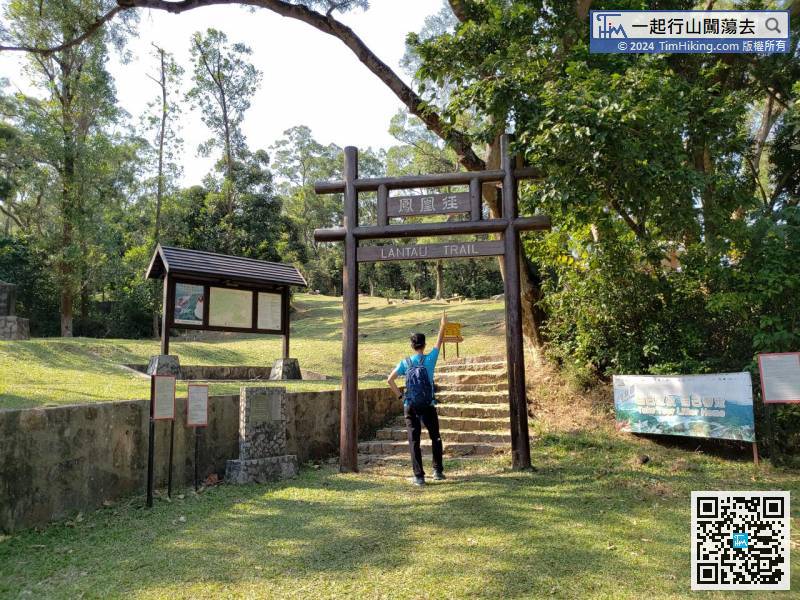
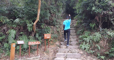
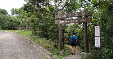
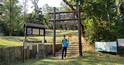
At the entrance of the trail is a large archway in the Lantau Country Park,
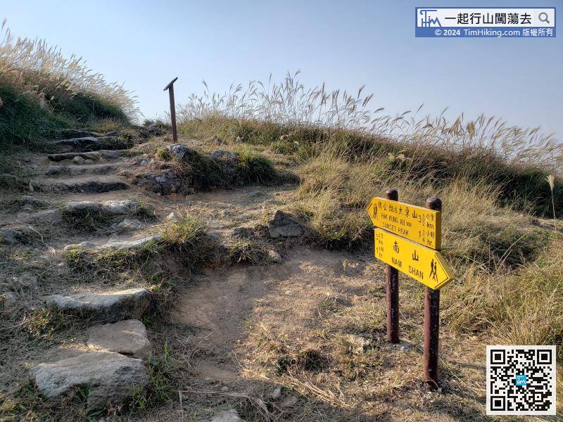
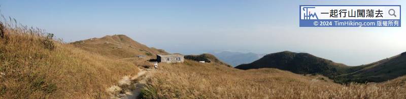
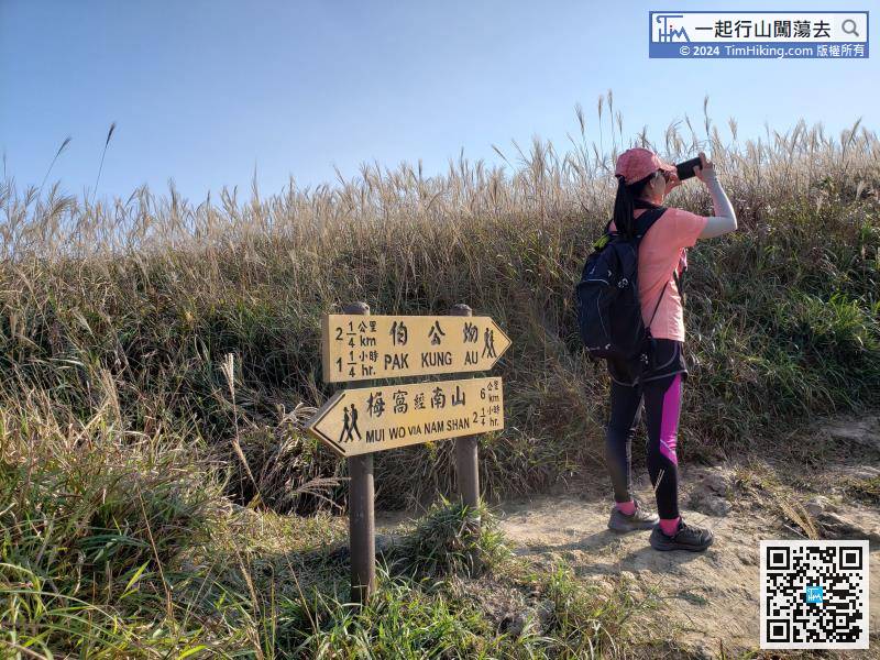
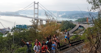
After taking pictures of the surroundings, follow the direction of Pak Kung Au,
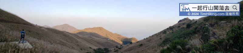
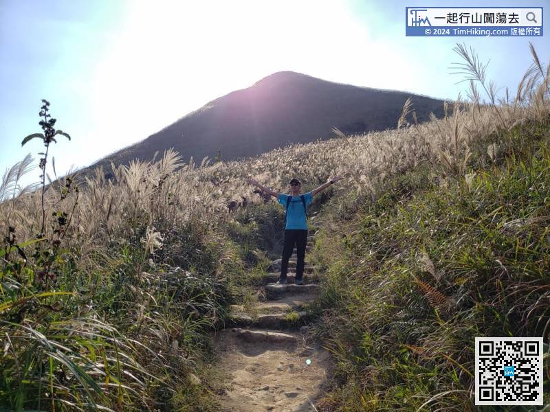
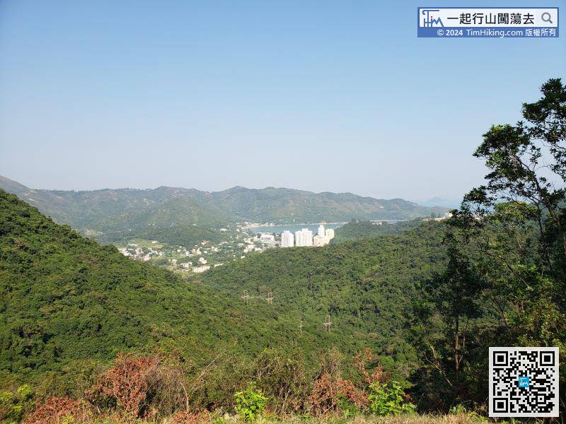
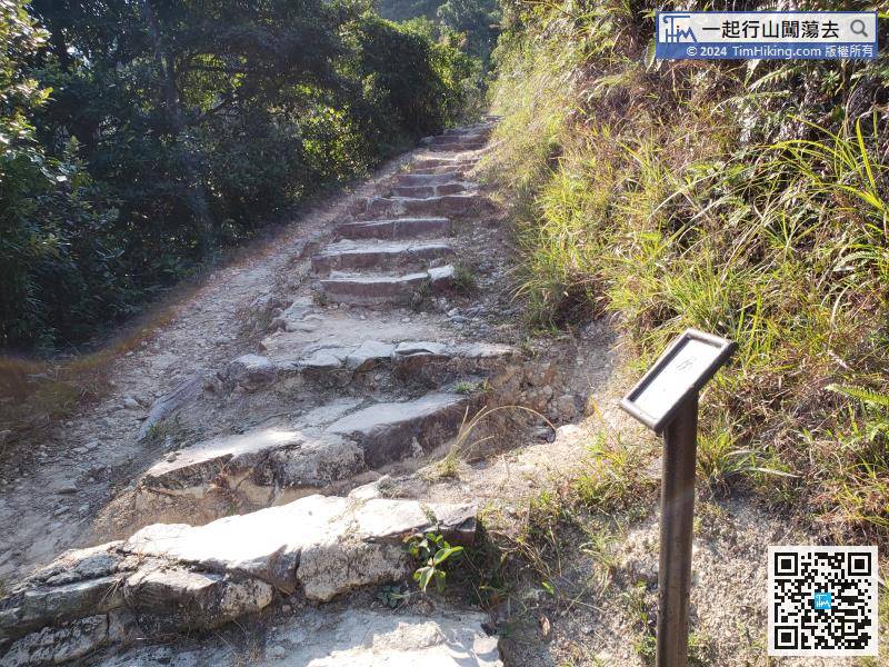
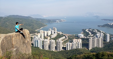
Along the main path, keep to the right and descend the mountain.
Official Map


