


 Recommend YouTube


| View : |  | ||
| Difficulty : |  | ||
| Path : | |||
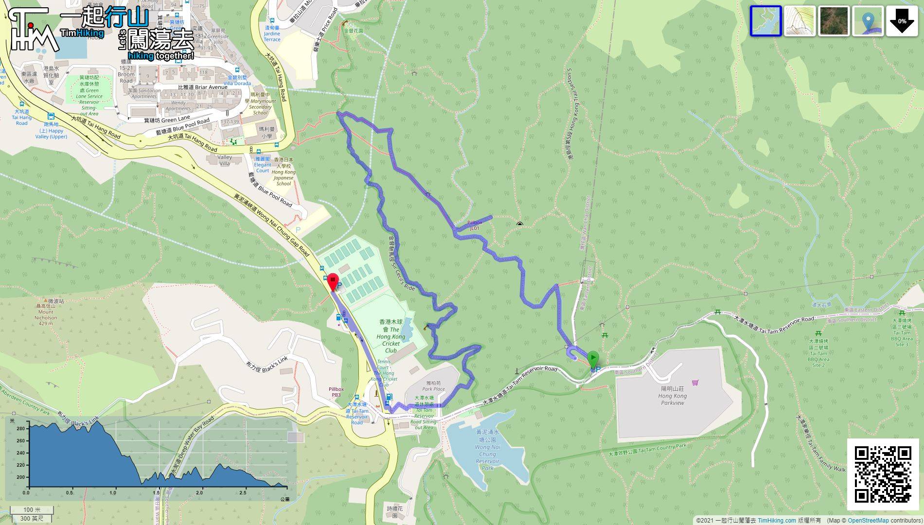
| Length : | 3km | ||
| Time : | 1¼hours | ||
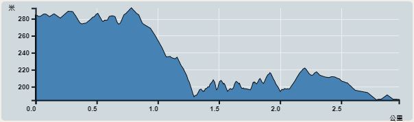 | |
| Ascent : 175m | Descent : 282m |
| Max : 0m | Min : 184m |
| (The accuracy of elevation is +/-30m) | |


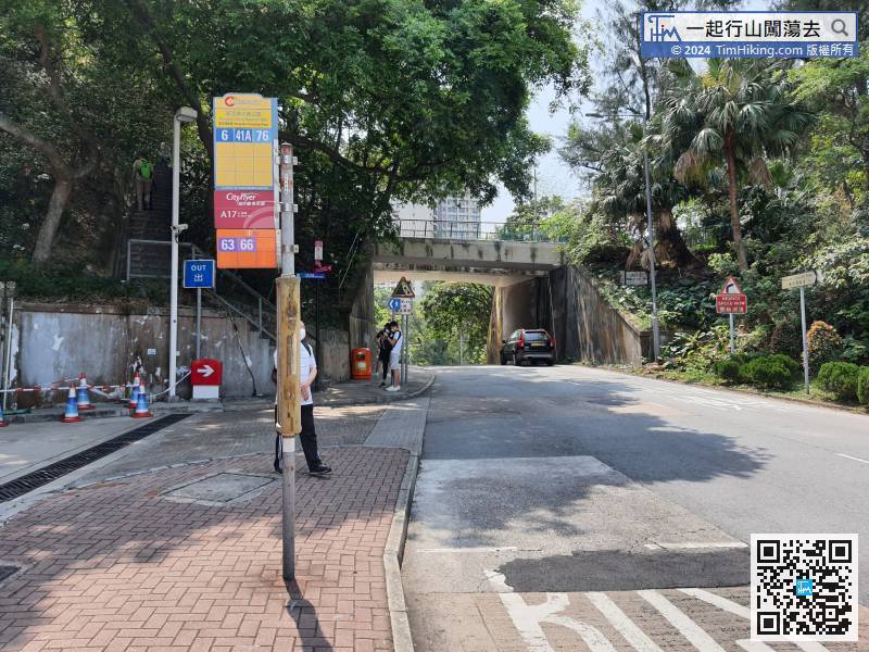
Starting from Wong Nai Chung Gap, you can take bus 6/41A/76/63/66 to get there and get off at Wong Nai Chung Reservoir Park bus stop.
 11︰The rear row of rooms is the ammunition magazines.
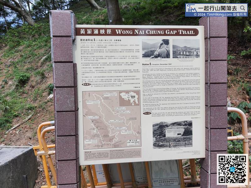
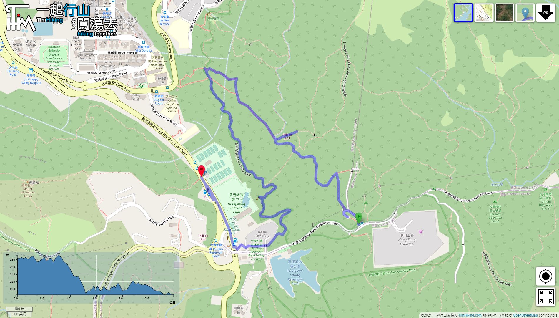
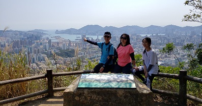
The starting point is the first station. The information plate tells the history of the Japanese invasion of Hong Kong. It contains the map of Wong Nai Chung Gap Trail, which clearly shows the location of the ten stations.
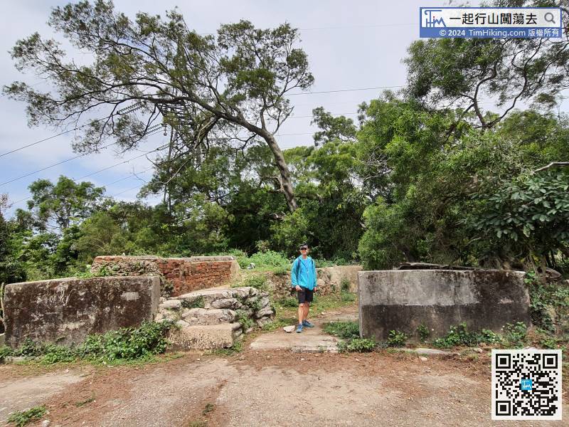
 29︰and step on the stairs to the 5th Station, pillbox JLO1.
 36︰Pillbox JLO2 is right by.
 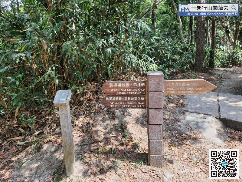 44︰and the 7th station is just in front,
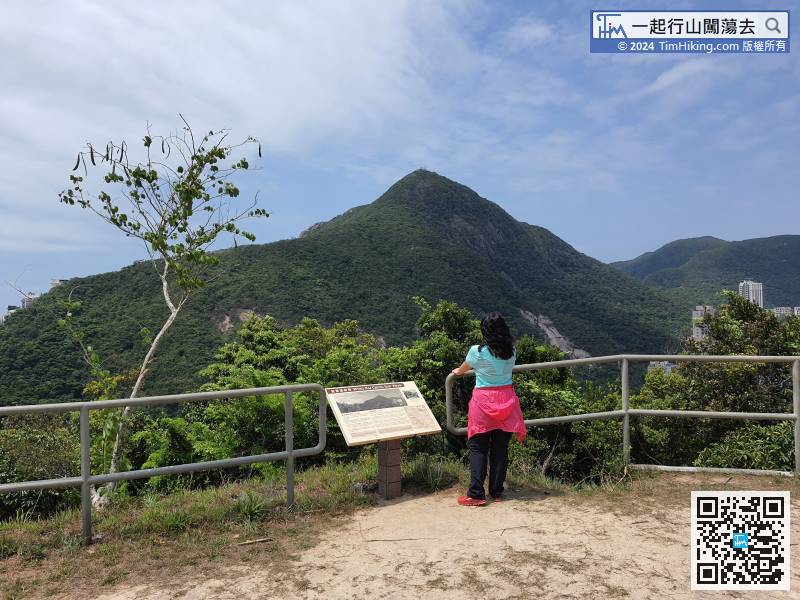 56︰When you come to the big pavilion, you will see the information plate of the 8th station,
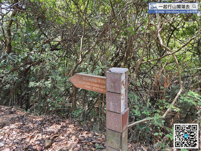
 67︰and several rounds of offensive and defensive battles broke out in the past.
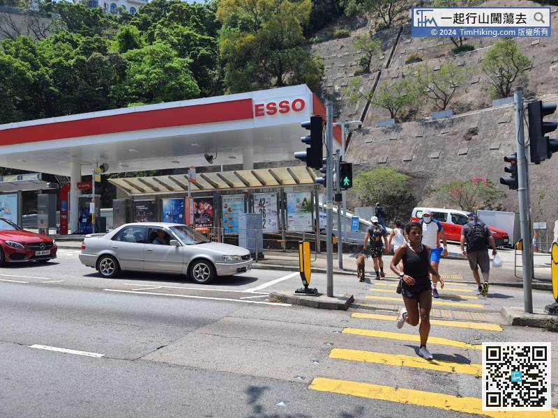 71︰Wong Nai Chung Gap Trail隨即就此完結
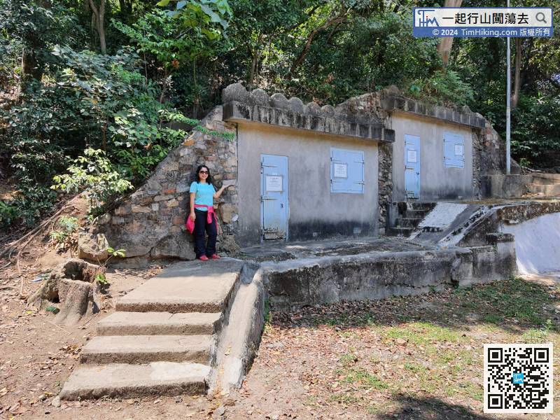


