


 Recommend YouTube


| View : |  | ||
| Difficulty : |  | ||
| Path : | |||
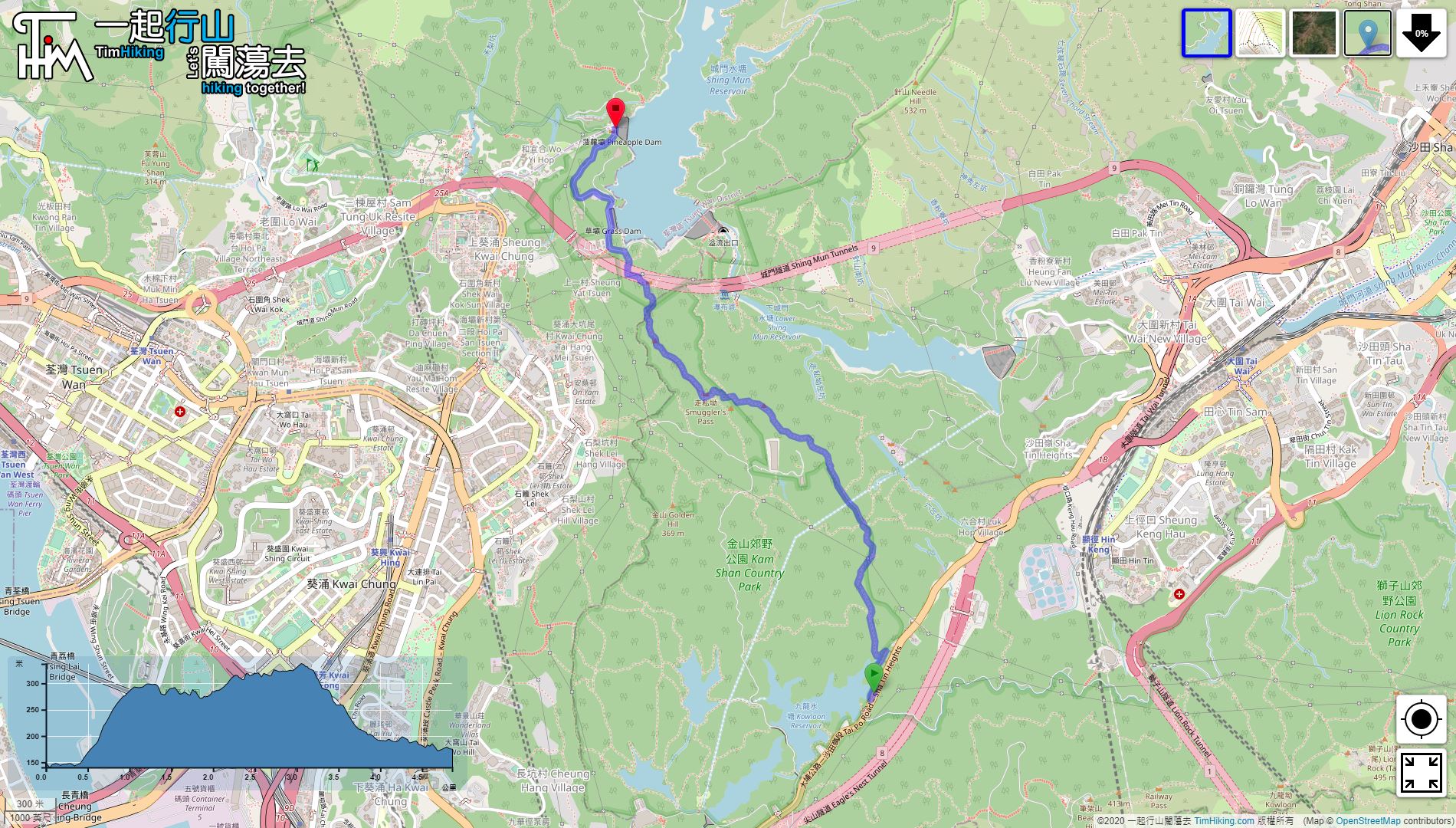
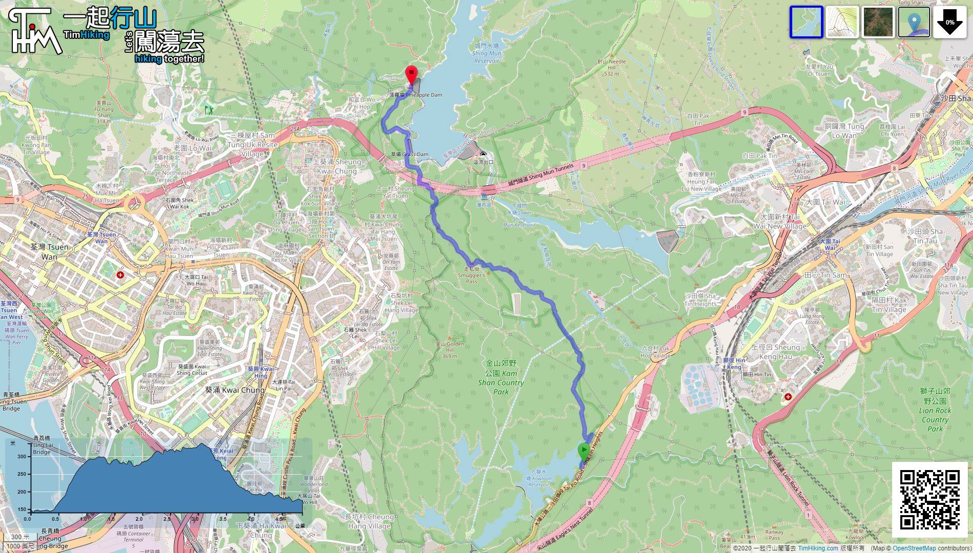
| Length : | 4.9km | ||
| Time : | 2½hours | ||
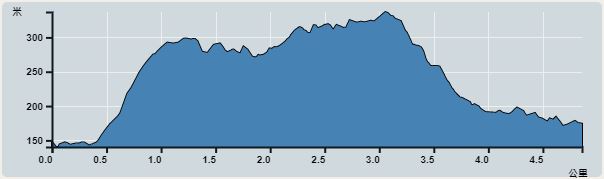 | |
| Ascent : 306m | Descent : 276m |
| Max : 304m | Min : 138m |
| (The accuracy of elevation is +/-30m) | |


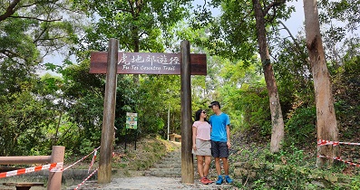
 9︰Look for the Wilson Trail sign next to it.
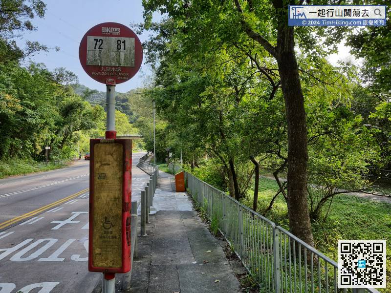 15︰About 10 minutes before and after, walk from the bottom to the top of the steps, come to an important bifurcation.
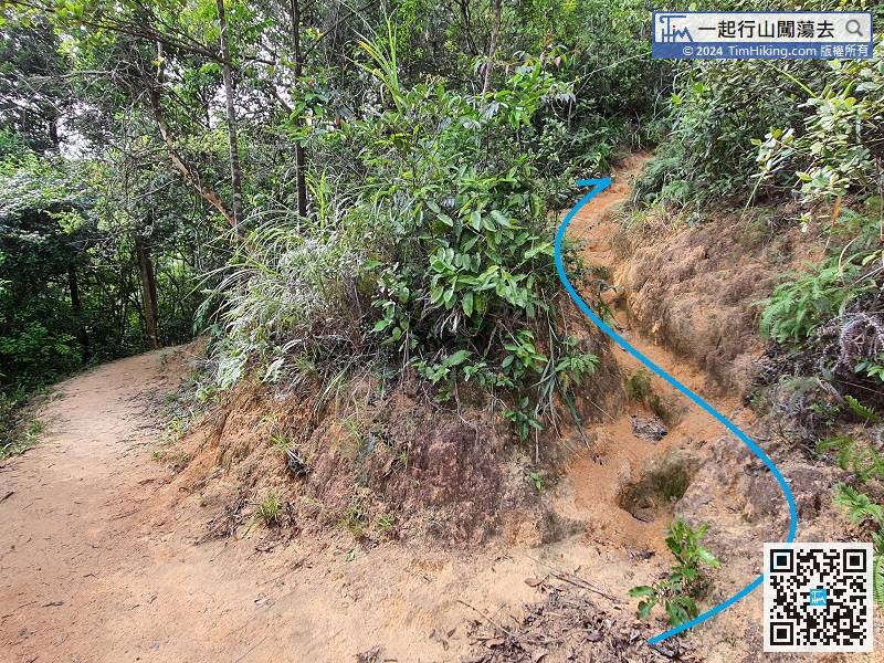
About 10 minutes before and after, walk from the bottom to the top of the steps, come to an important bifurcation.
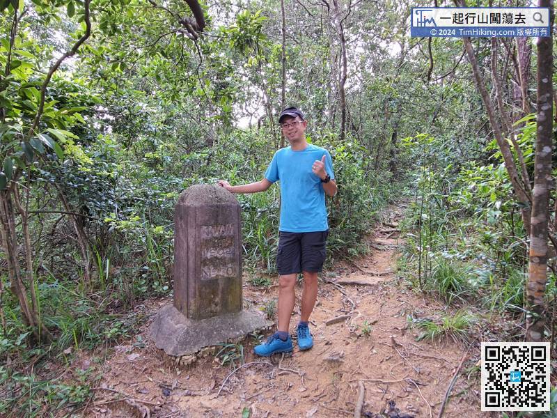
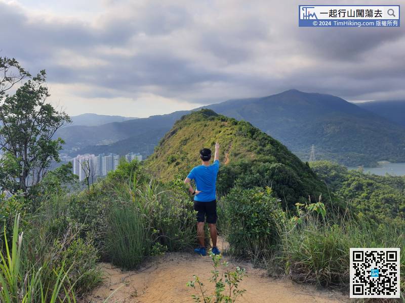
37︰right next to the Boundary Pillar No.26, there is another dense trail that falls into the Smuggler's Pass Left Stream. Do not go down by mistake,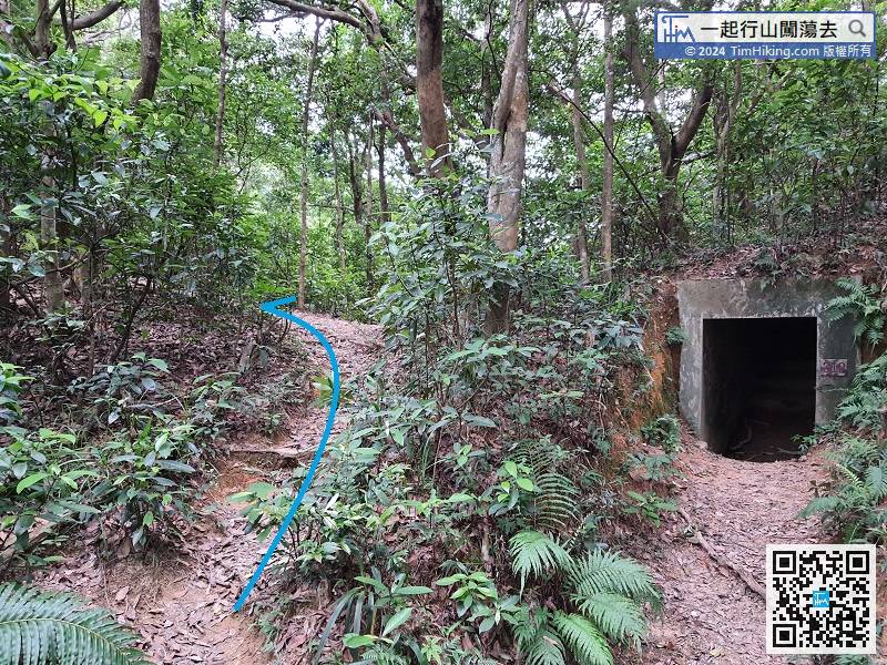 52︰the view becomes open scenery slowly and can overlook Needle Hill.
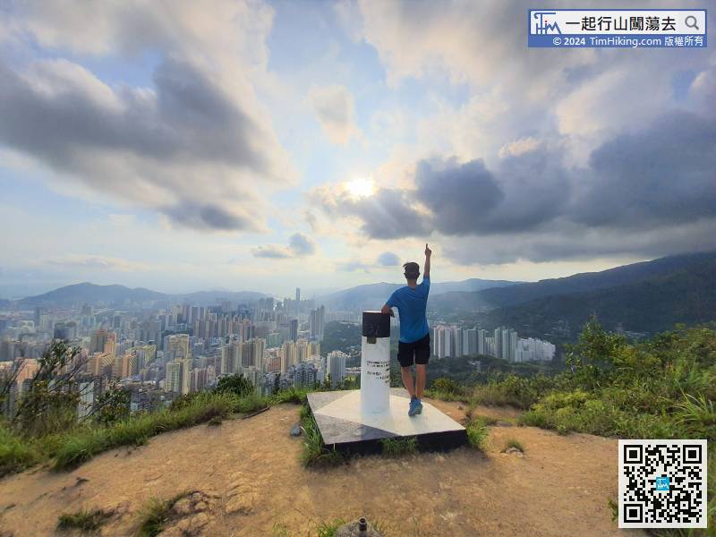
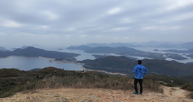
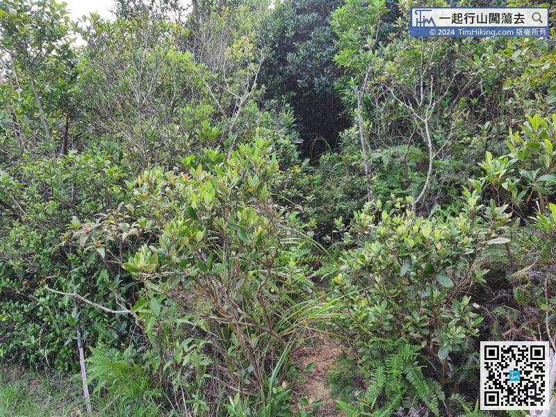 77︰At the top of Smuggler's Ridge, it is flat with a 360-degree view and has a trigonometrical station. The station offers a full view of the entire Tsuen Wan district, as far as the Tsing Ma Bridge.
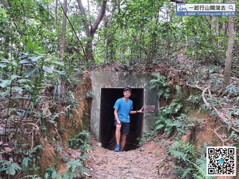
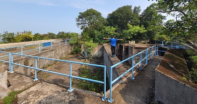
 85︰The inside is still complete and can be explored carefully.
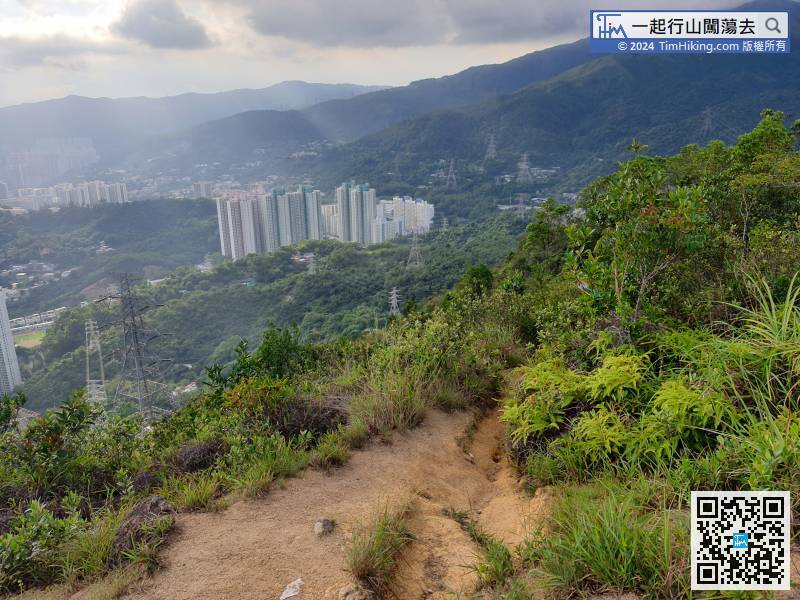


