


 Recommend YouTube


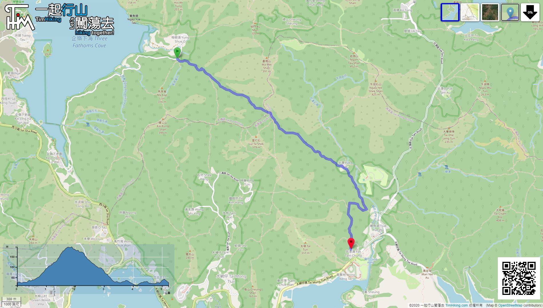
| View : |  | ||
| Difficulty : |  | ||
| Path : | |||
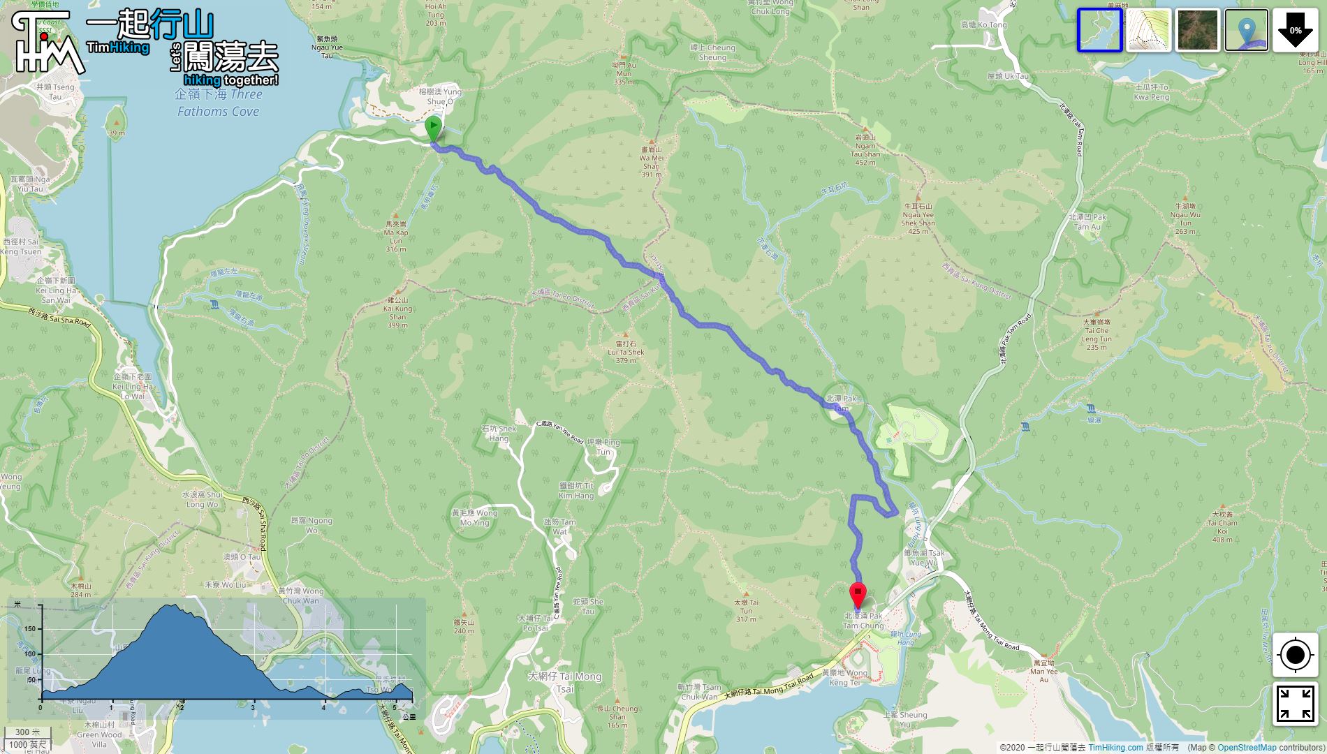
| Length : | 5.3km | ||
| Estimate : | 2hours | ||
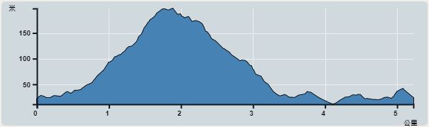 | |
| Ascent : 197m | Descent : 187m |
| Max : 198m | Min : 11m |
| (The accuracy of elevation is +/-30m) | |


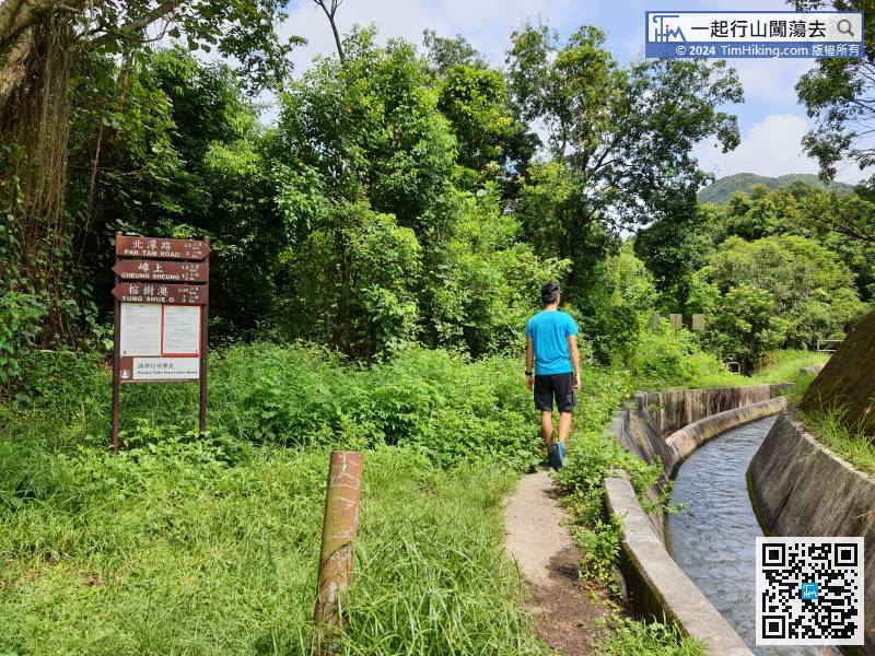
 3︰Walk along the side of catchwater,
 16︰There are still a few small streams on the way, just be careful.
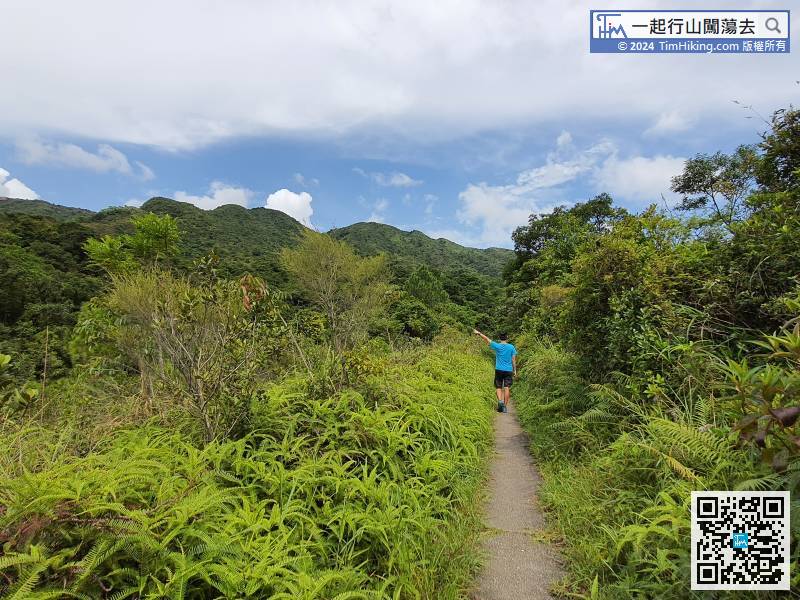
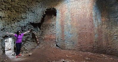
Go on again from the mountain trail on the opposite side. The concrete section disappeared completely in an instant,
26︰A few minutes later, come to the crossroad of MacLehose Trail, which is also the highest altitude position of Yung Pak Path.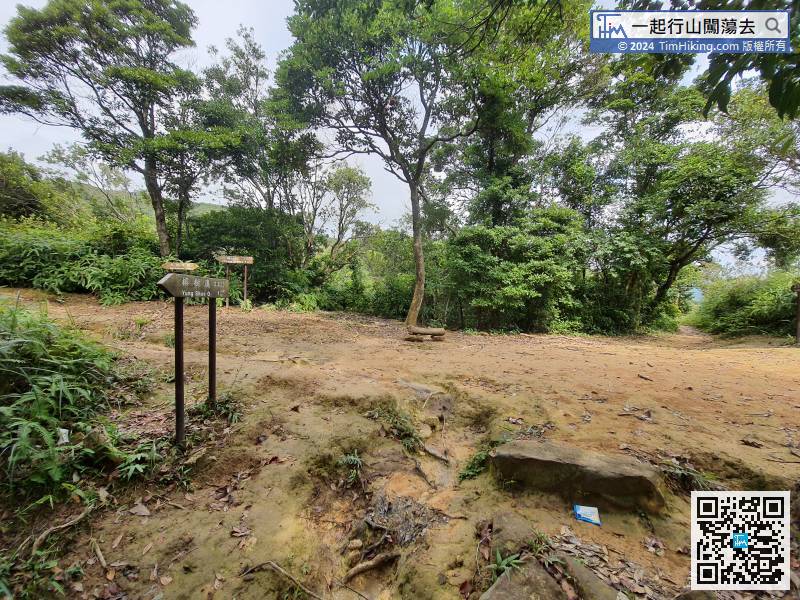
A few minutes later, come to the crossroad of MacLehose Trail, which is also the highest altitude position of Yung Pak Path.
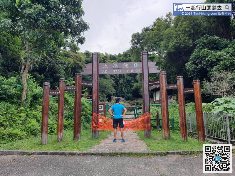
38︰There is a fork in Pak Tam Village.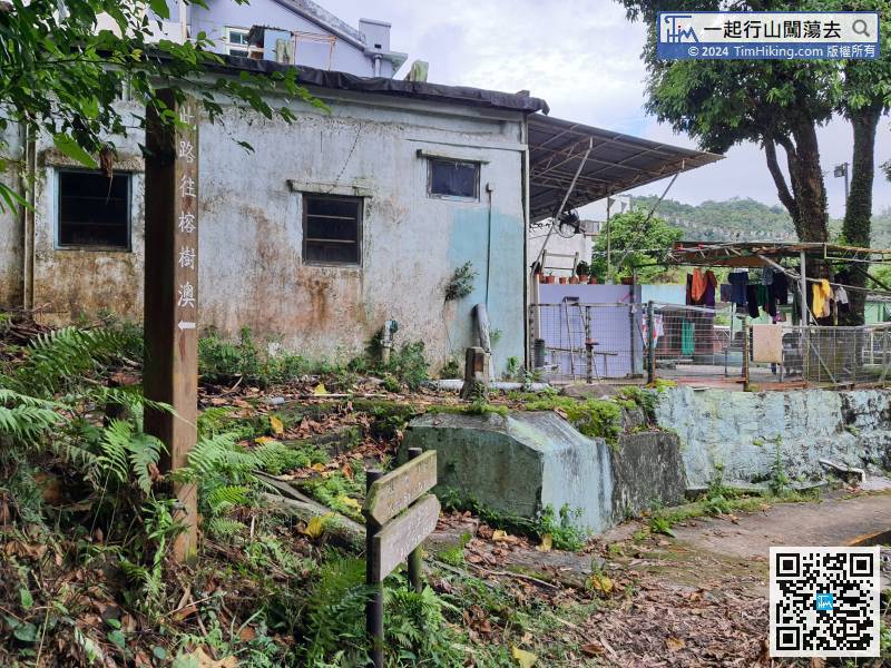 52︰Just follow the signs,
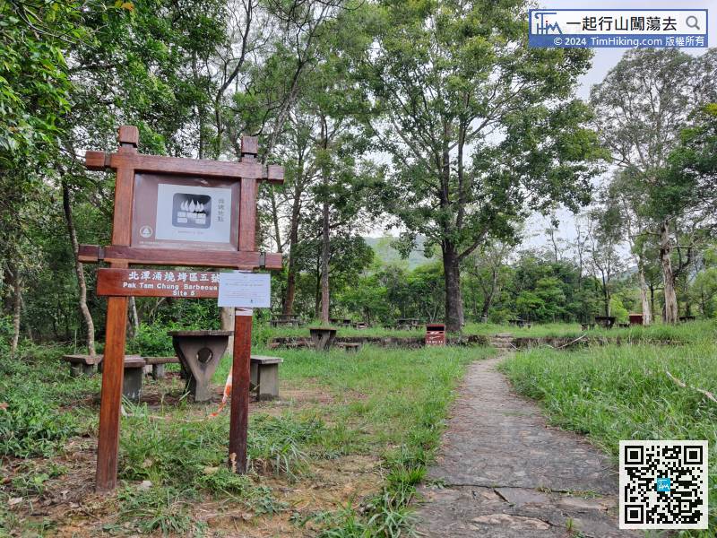
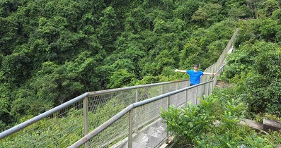
The last section will pass through multiple Barbecue Areas.


