


 Recommend YouTube


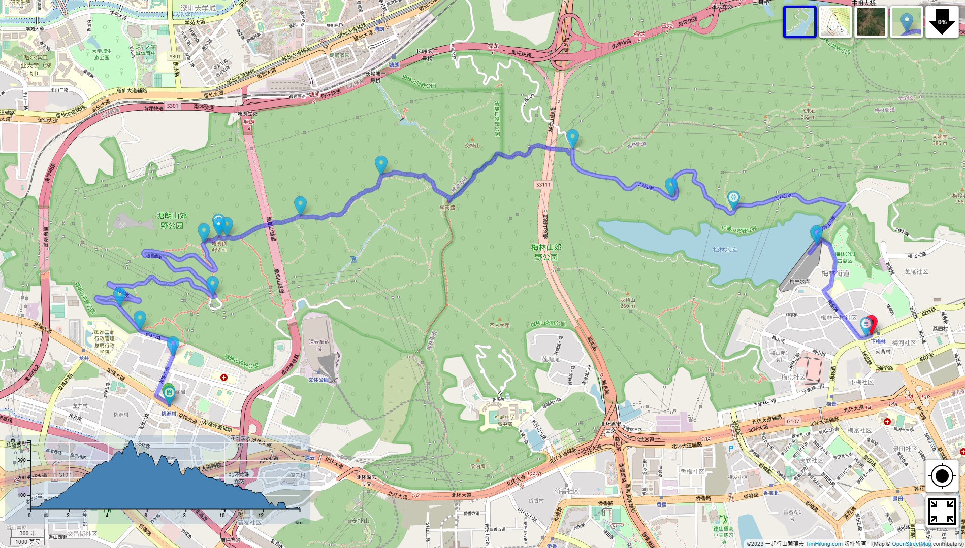


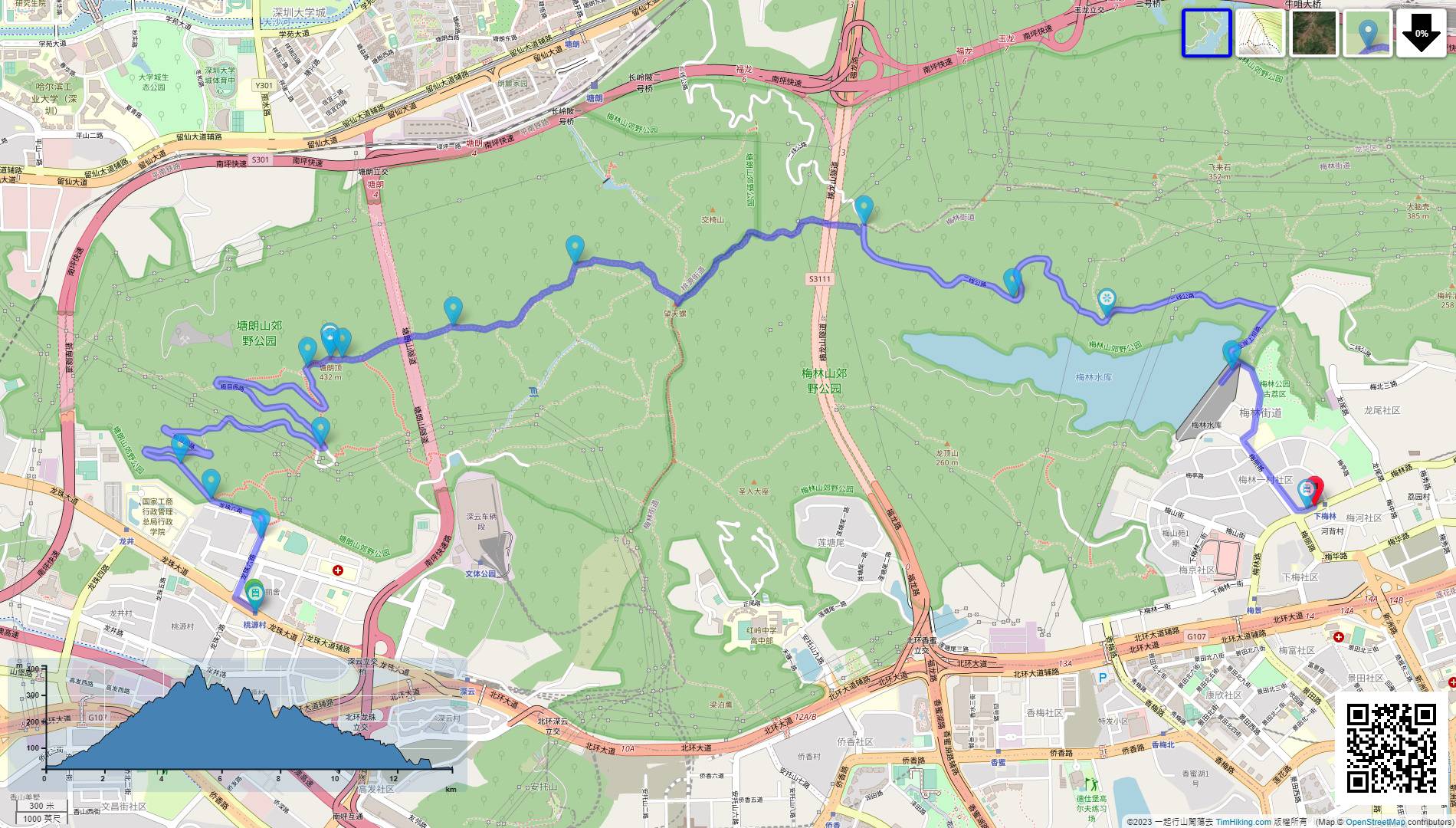
| View : |  | ||
| Difficulty : |  | ||
| Path : | |||
| Length : | 13.9km | ||
| Time : | 5hours | ||
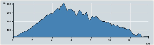 | |
| Ascent : 1,031m | Descent : 1,038m |
| Max : 412m | Min : 20m |
| (The accuracy of elevation is +/-30m) | |

 self-service vending machine
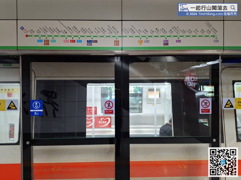
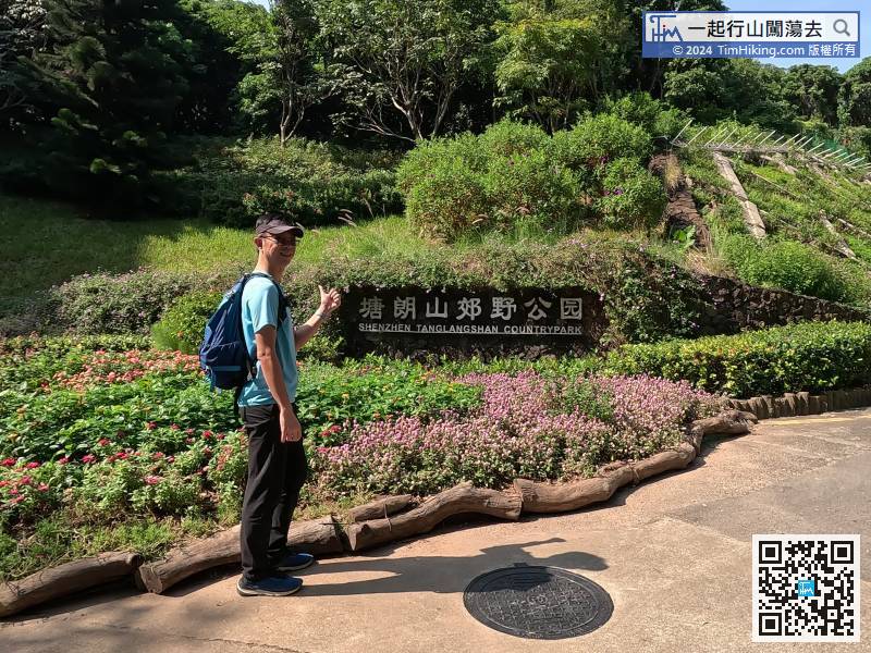
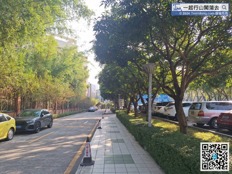
In terms of transportation, the most convenient way is to go through the customs at Lo Wu Port or Futian Port, but the transfer station will be a little farther.
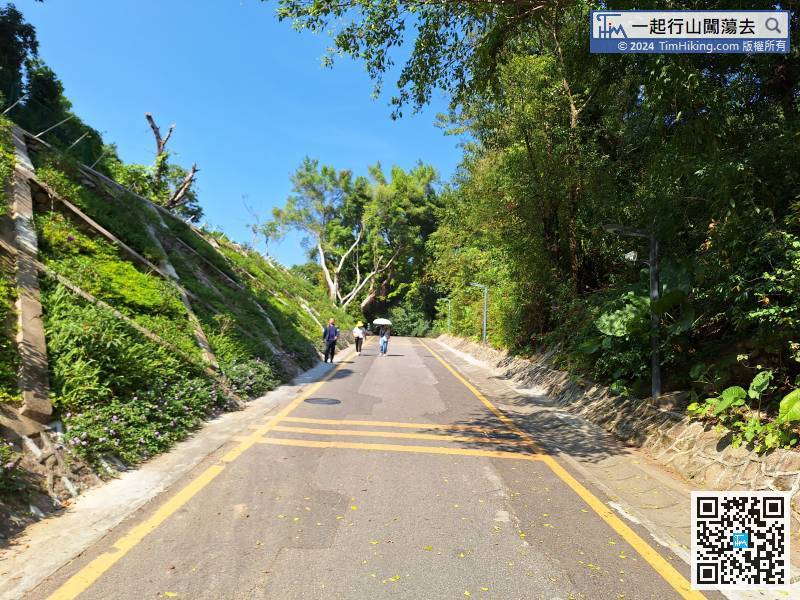
After understanding the map and route clearly, we started immediately.
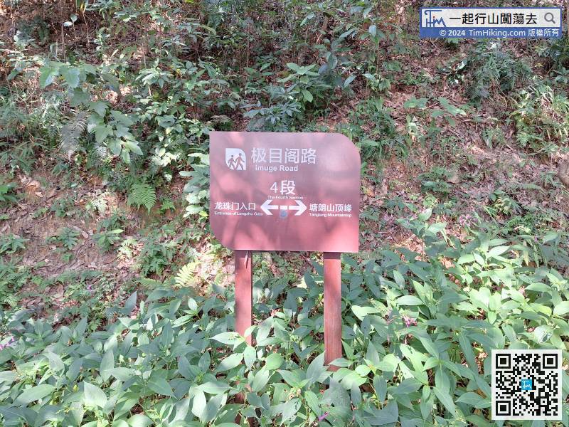
Unconsciously, we came to the distance post of Jimuge Road (Section 4). The whole journey is divided into 6 sections, which is almost half of the journey.
In a moment, you will see another fork on the left. There is also a large stone with a hand-drawn map engraved on it.
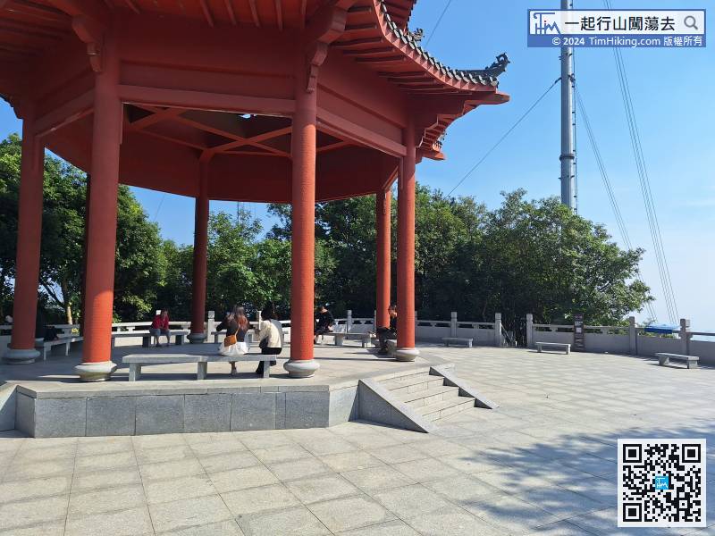
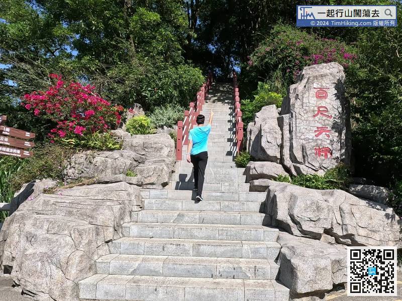
After a short break, return to the pavilion
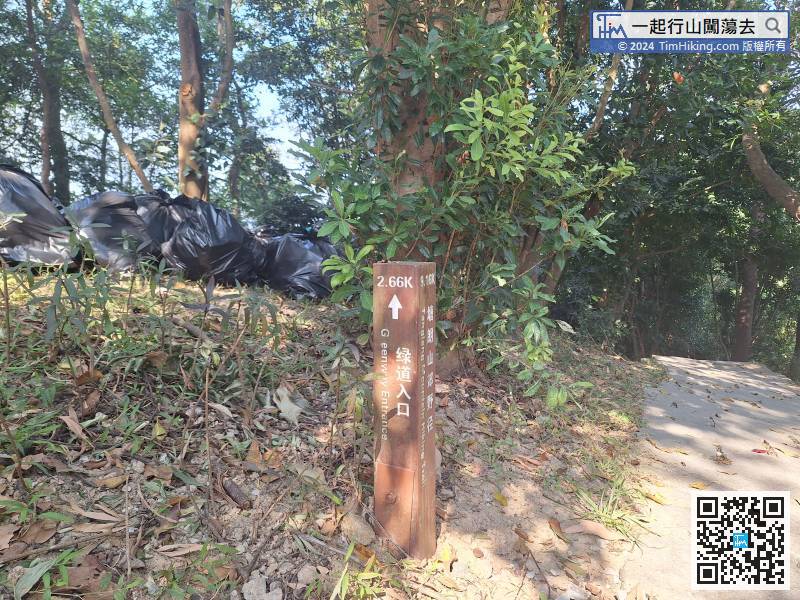
From the distance post of Tanglang Mountain Hiking Trail, you will know there is still 2.66 kilometers away from the Greenway Entrance.
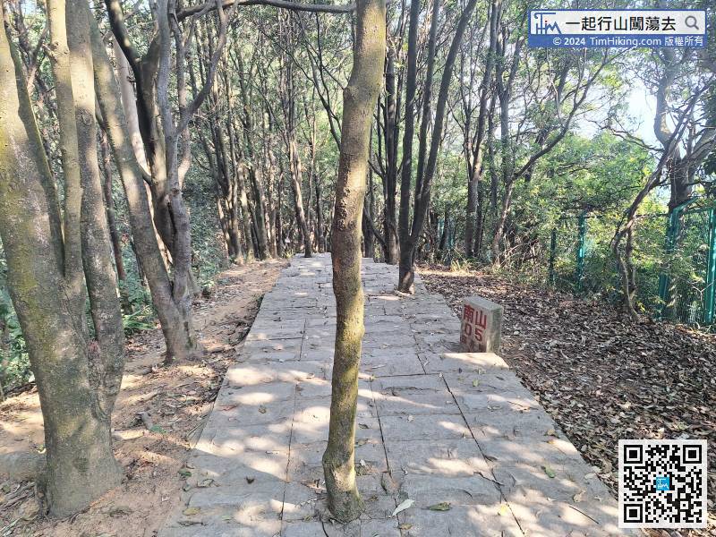
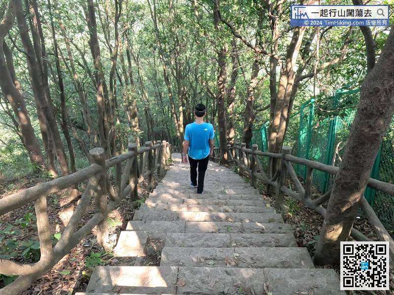
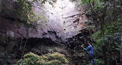
As long as you pay attention to the ground,
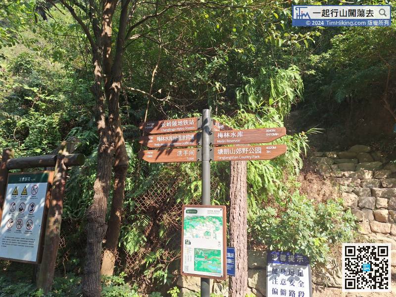
Next, we are going to Meilin Reservoir.
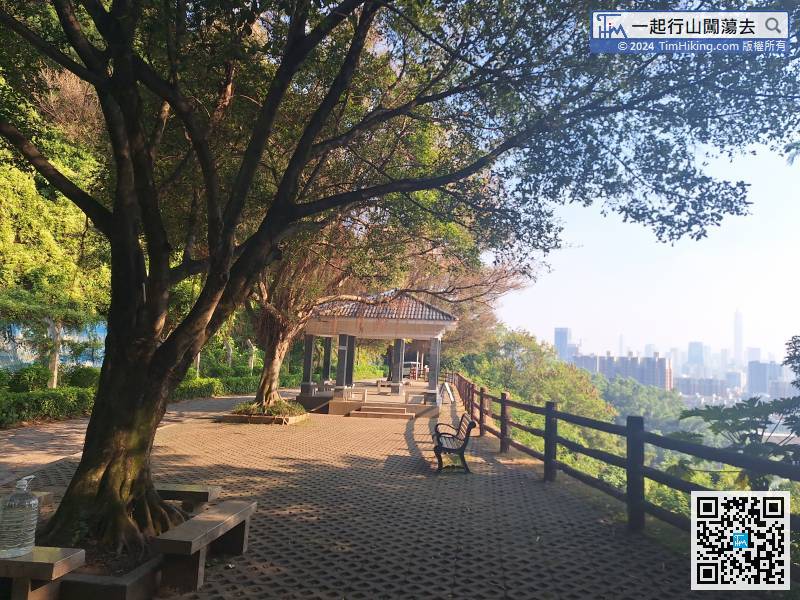
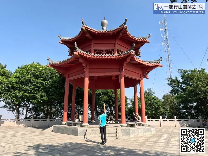
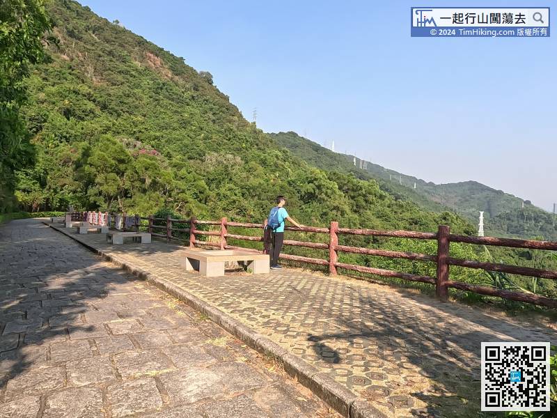
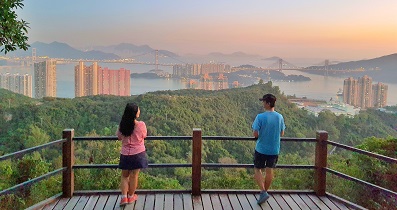
Come to another Viewing Point with a large pavilion,


