一起行山闖蕩去

Tai Shek Teng
Chuk Ko Yan Ling
The God Track

Tai Shek Teng, Chuk Ko Yan Ling, The God Track  Login can add to my Favorite

 2021-02-03
 Total Views: 59,923     
 Map 「Tai Shek Teng, Chuk Ko Yan Ling, The God Track」路線Map
View :
Difficulty :
Path :
Length : 13.2km
Estimate : 7hours
Ascent : 617m  Descent : 607m  Max : 480m  Min : 11m<br><p class='smallfont'>The accuracy of elevation is +/-30m

Ascent : 617mDescent : 607m
Max : 480mMin : 11m
(The accuracy of elevation is +/-30m)  
Section :
 
Trail 40%
Road 40%
Gravel 20%
Slope :
 
Ascent 617m (50%)
Descent 607m (50%)
Exposure :
 
80%
Climb :
 
 
Start Point :
港鐵 Bus Minibus Taxi 
Support :
 
 
End Point :
Bus Minibus Taxi 
 ©2024 一起行山闖蕩去 TimHiking.com


15︰In the next obvious bifurcation, and a barren trail occurs on the right. There is a sign made by the guest,
If you take the MTR, leave from Exit C1,


 ©2024 一起行山闖蕩去 TimHiking.com
20︰The small pavilion on the right is Tung Shing Pavilion,
The small pavilion on the right is Tung Shing Pavilion,


 ©2024 一起行山闖蕩去 TimHiking.com
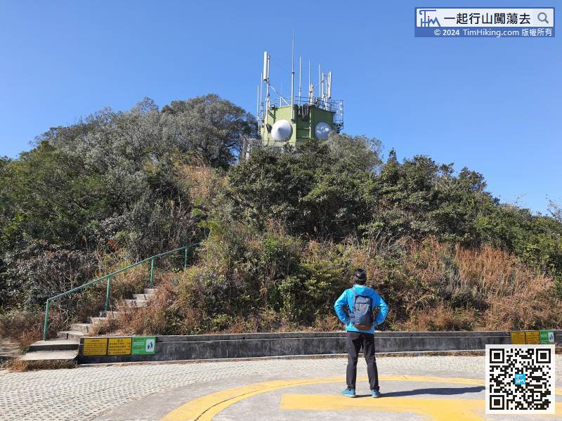
43︰there is a big round rock beside the peak.
After a short break, looking for the barren trail outside to fall down the mountain.


 ©2024 一起行山闖蕩去 TimHiking.com
60︰walk for a while,
A part of the trail is a rugged dirt trail,


 ©2024 一起行山闖蕩去 TimHiking.com
83︰turn right is the way to Wong Nai Chung Reservoir.
After reaching the top, will descend from the other end. There are two trails in front.


 ©2024 一起行山闖蕩去 TimHiking.com
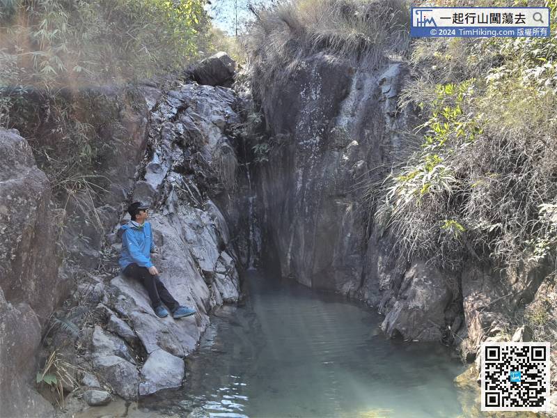
90︰Peregrine Falcon Rock is in the form of a peregrine falcon in flight,
Peregrine Falcon Rock is in the form of a peregrine falcon in flight,


 ©2024 一起行山闖蕩去 TimHiking.com
109︰Cross the dam to the other side,
Cross the dam to the other side,


 ©2024 一起行山闖蕩去 TimHiking.com
The easiest way to leave is to turn back on the same road. As this route is planning to be more difficult, so will follow the great slope on the left-hand side.


 ©2024 一起行山闖蕩去 TimHiking.com
Next is the way to leave, keep left and walk backwards along the MacLehose Trail


 ©2024 一起行山闖蕩去 TimHiking.com


 ©2024 一起行山闖蕩去 TimHiking.com


TimHiking【Tai Shek Teng . Chuk Ko Yan Ling . The God Track】Hong Kong Hiking Map

           
Mschan :請問這條路的浮沙碎石是否多數向下?如果逆行, 會否較容易? (2021-08-02)
 
上落都有,不建議逆行,逆行會變成大部份時間都是上山,部份路線較難找。一次過爬升上九逕山,然後慢慢往下走會易好多。 (Tim Sir 2021-08-02)
Elise wong :Tim Sir ,
謝謝你回應解答!
(2021-04-11)
 
別客氣!😍 (Tim Sir 2021-04-11)
Elise wong :版主,您好!先感激你無私奉獻這個網頁,我一直都是跟你提供的路線行,這個網頁做得非常好👍,好清晰!
另外想請教這條路線,如果我在屯門起點出發到游隼石大概行幾耐?謝謝
(2021-04-10)
 
游隼石的位置大約是4.2公里,估計約2.5-3小時,前段較多梯級及浮沙碎石,前程速度一般都會比較慢。 (Tim Sir 2021-04-10)
Kei :Tim Sir,如唔行三粒鑽石,直接喺黃泥墩水塘落大棠,難度會否稍減? (2021-03-01)
 
短好多,難度減至4星,主要難在大石頂附近的碎沙碎石路。 (Tim Sir 2021-03-01)
joe lee :謝謝Yakman的分享,會跟圖154的路口落大棠荔枝山莊出大棠村。希望順利沒有員工阻止。 (2021-02-14)
 
新年快樂! (Tim Sir 2021-02-14)
frauyl :Tim Sir, 由三鑽石落M180似乎好險,如果由M180上三鑽石會否好些? (2021-01-22)
 
一樣的險,因為中途有兩個大上大落位,無論那一個方向,都一樣有大上大落。 (Tim Sir 2021-01-22)
Yakman :
下山到荔枝山莊是要從後進入, 在山莊前門離開, 我多次這樣走都無人干涉 (但不知相反方向會如何).
不過據地政署地圖,其實園區有部份不是私人土地, 多年前有新聞報導過政府有在此就非法佔用官地進行執法行動, 園方要阻止人行過也是理虧的
(2021-01-14)
 
十多年前,經常到荔枝山莊玩,那時一入正門,無可能不付入場費。如果這樣寫,一定會令到人流上升,又或者太晚關了正門,會引起種種估計不了的問題。 (Tim Sir 2021-01-14)
Yakman :在圖154位置的路口, 轉左邊的小路可直接到大棠荔枝山莊, 再經村路出大棠村口坐小巴或巴士. 這樣走法是一路下山及平路,又可減少行石屎馬路. (2021-01-14)
 
大棠荔枝山莊這一段路要入園嗎?其實三粒鑽石原路折返少許,都有一條路接去荔枝山莊的位置,那麼就可以避開最困難的位置。 (Tim Sir 2021-01-14)

Alias:      Email: 
   

😄
* Photos can only be personal or landscape photos, and group photos are authorized for portrait rights by default. In addition, headshots, dangerous shots, or photos containing promotional elements are not accepted.
* The shared content may be published after revision. The content must be absolutely positive. If it does not meet the standards, the content will be deleted.
* The message will be approved within one day, and the final decision-making authority will be reserved for TimHiking.

 Thanks a lot! Hope our hiking information is helpful to you. Everyone is happy to go hiking and safely!
 Welcome to use  Payme   AlipayHK  to sponsor Tim Sir's efforts! Continue to give selflessly for the mountain world.

他醫好傷心的人,包紮他們的傷處。

詩篇 147:3 和修版