


 Recommend YouTube


| View : |  | ||
| Difficulty : |  | ||
| Path : | |||
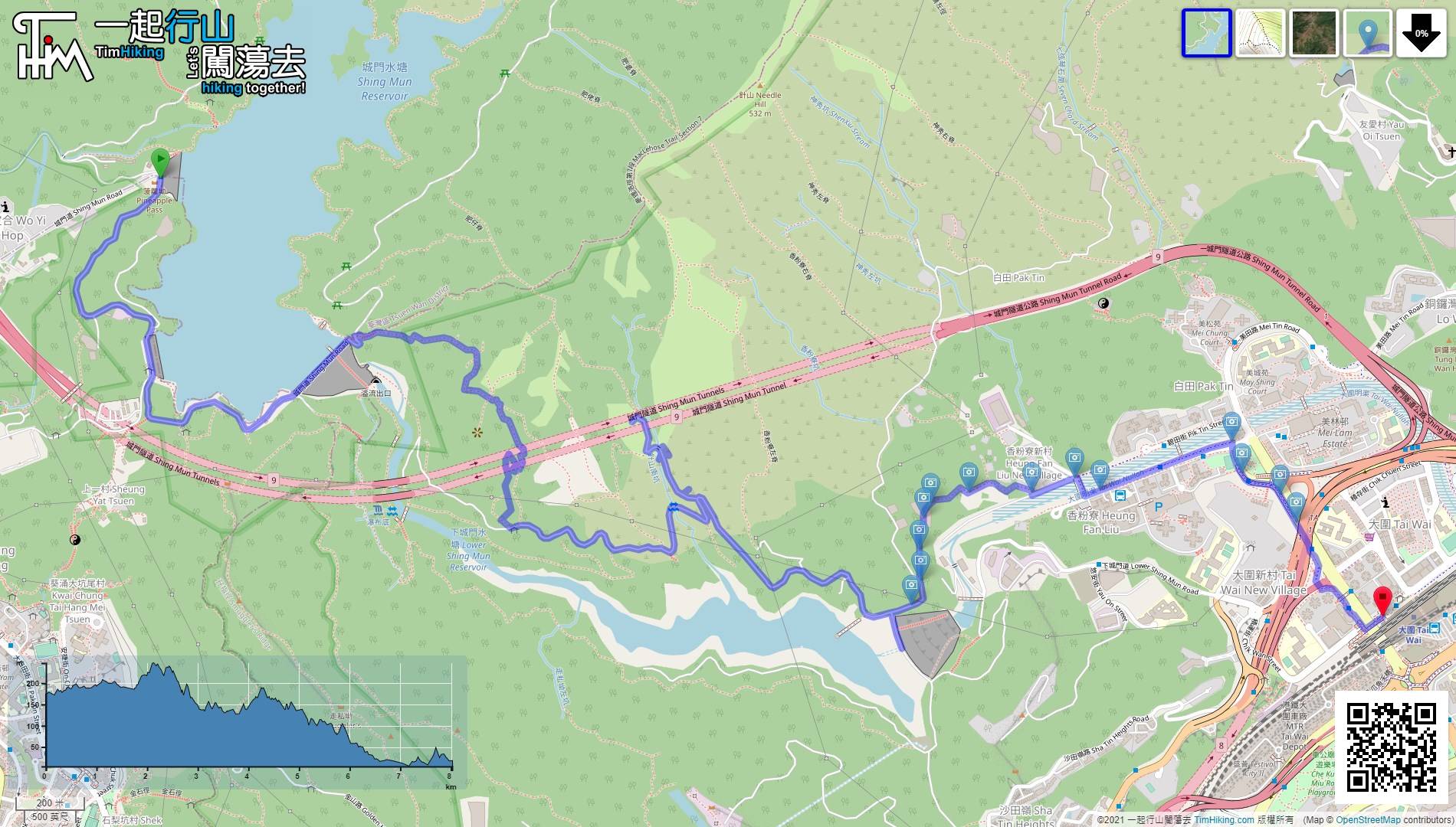
| Length : | 8.1km | ||
| Time : | 4hours | ||
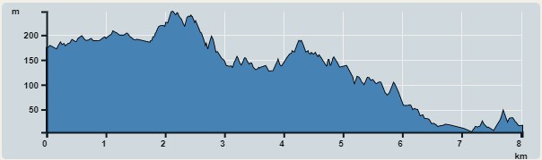 | |
| Ascent : 523m | Descent : 681m |
| Max : 247m | Min : 4m |
| (The accuracy of elevation is +/-30m) | |


 9︰The view of the Main Dam is good,
 15︰will find a barren trail on the right-hand side of the bottom of the steps,
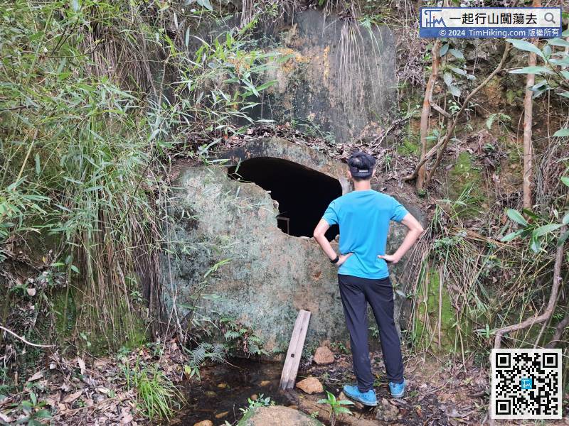
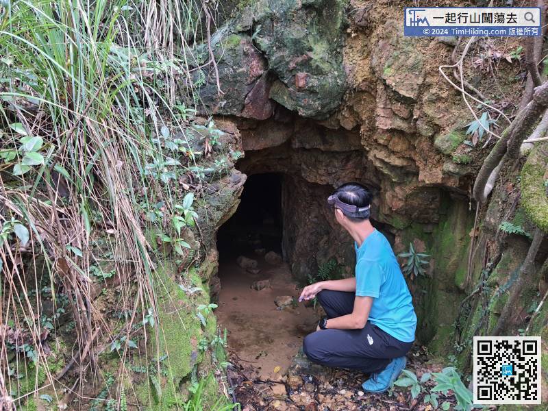
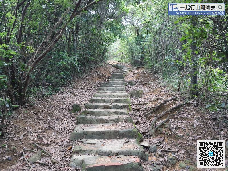 23︰According to the mine map of The Industrial History of Hong Kong Group, the first adit that seen should be u01A, u01B or u01C.
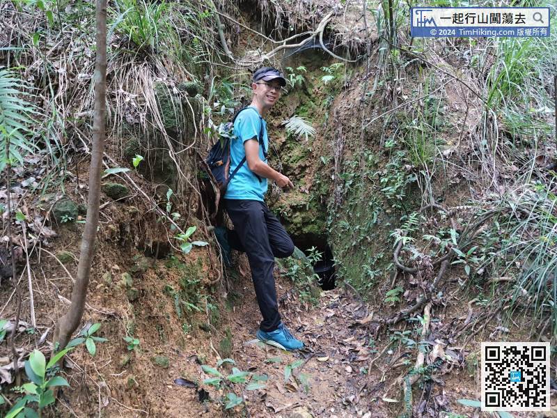
According to the mine map of The Industrial History of Hong Kong Group, the first adit that seen should be u01A, u01B or u01C.
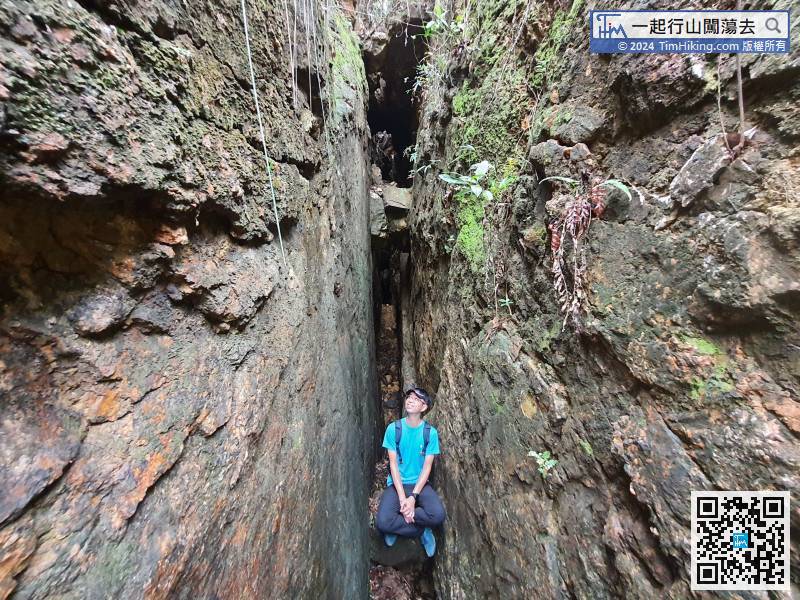
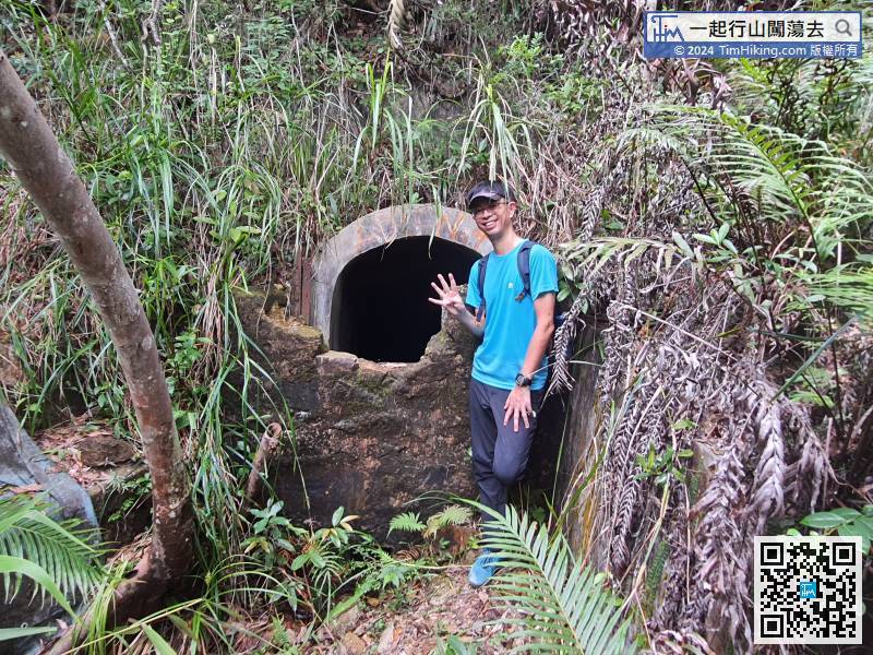
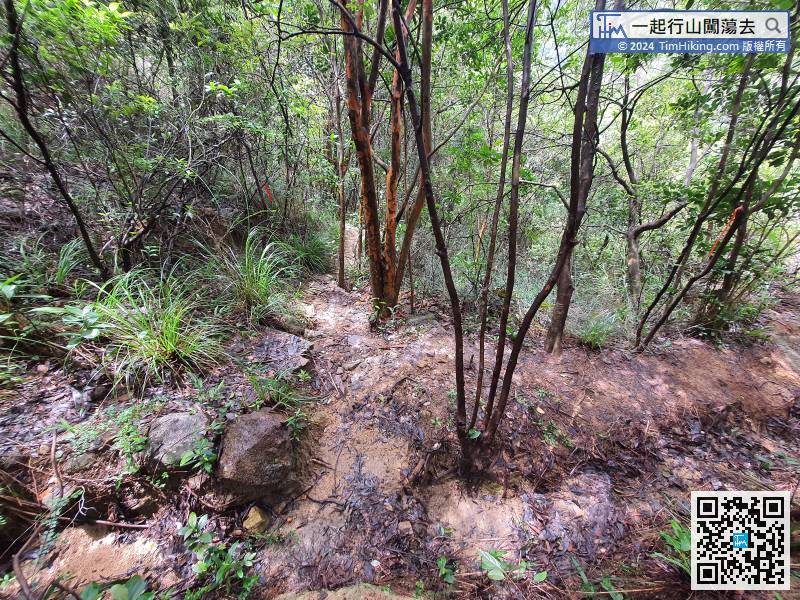
33︰The adit is short and thin,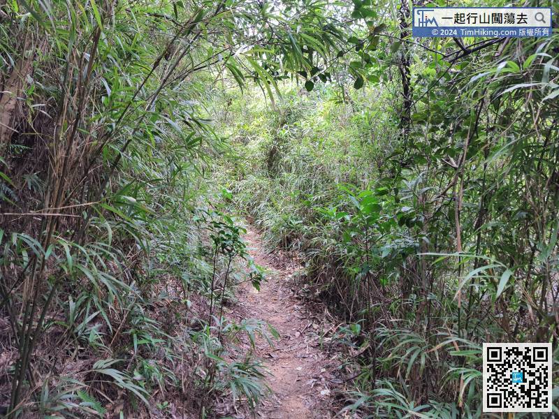 43︰Then will come to another bifurcation, the left is to the ADIT No.u06,
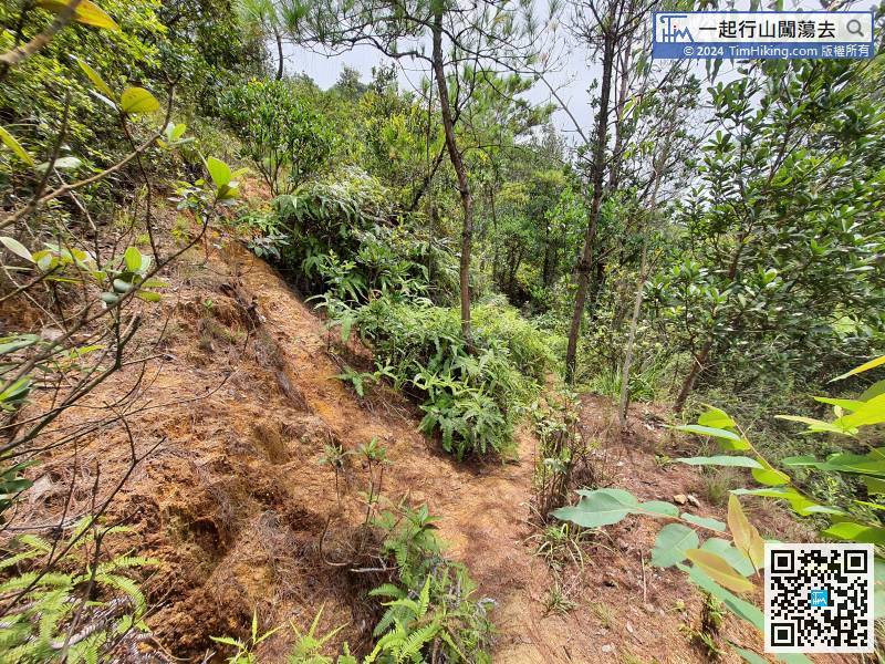
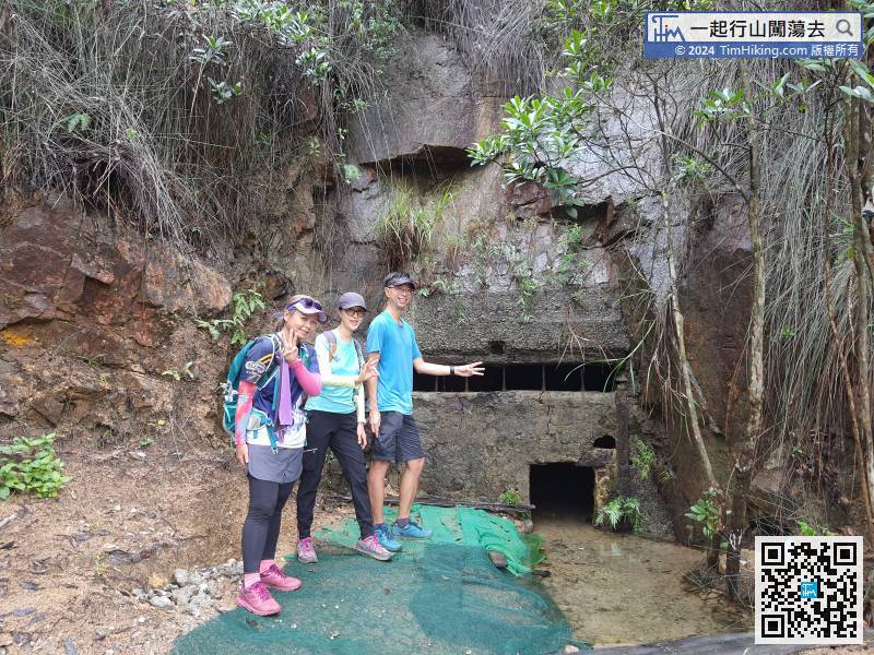
 74︰which is the Open Mine.
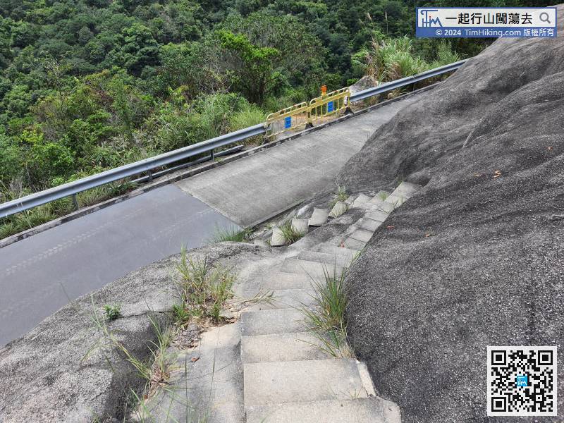 89︰is also the location of ADIT No.5 at an altitude of 144 meters.
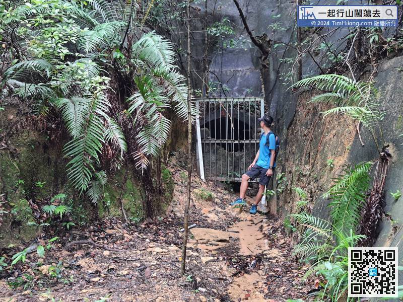
 91︰the location of the two big iron gates is actually ADIT No.6, located at an altitude of 138 meters.


