


 Recommend YouTube

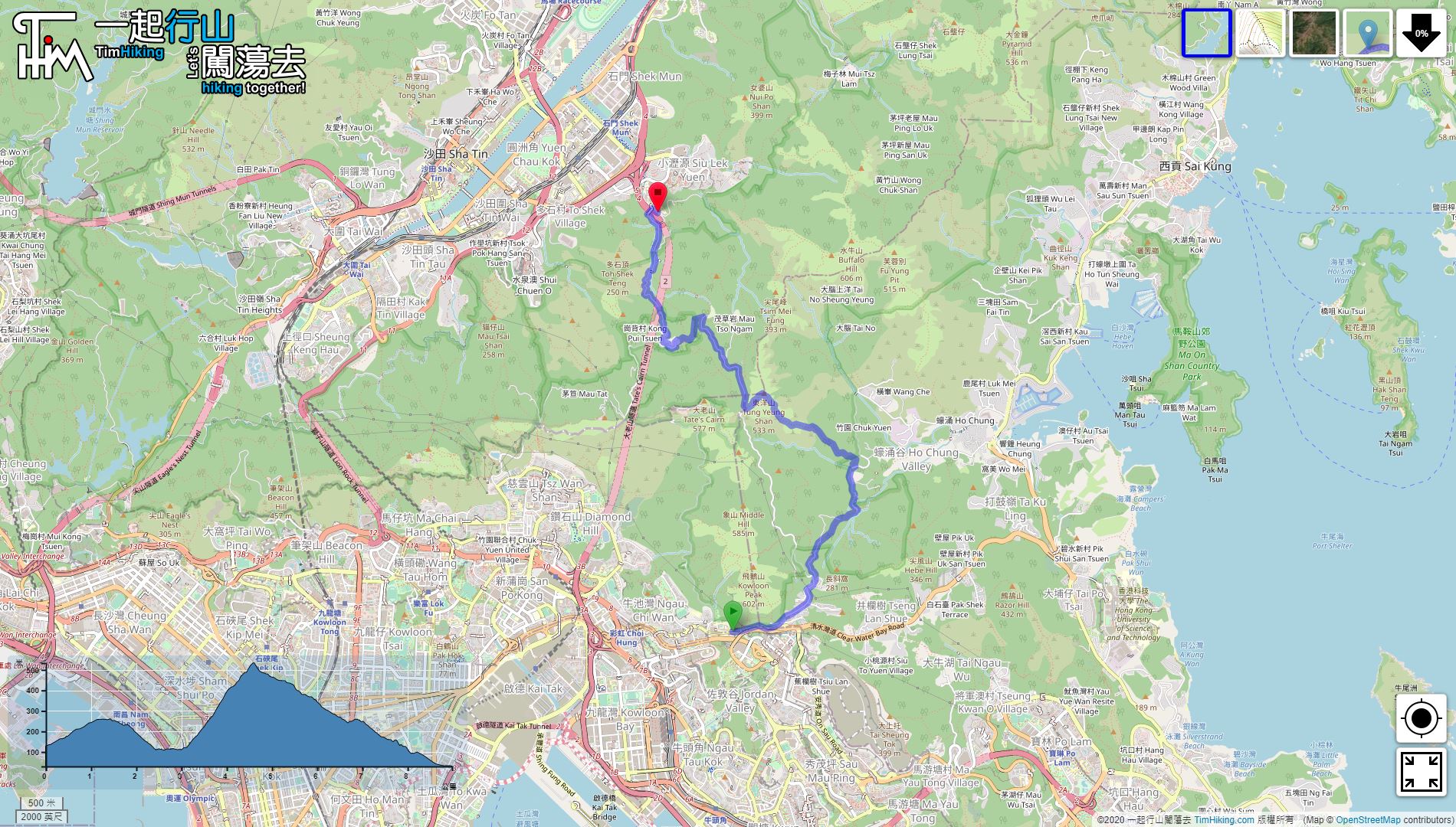

| View : |  | ||
| Difficulty : |  | ||
| Path : | |||
| Length : | 9km | ||
| Time : | 3½hours | ||
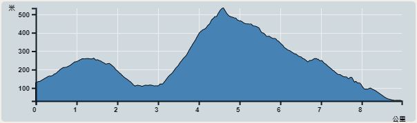 | |
| Ascent : 641m | Descent : 746m |
| Max : 519m | Min : 30m |
| (The accuracy of elevation is +/-30m) | |


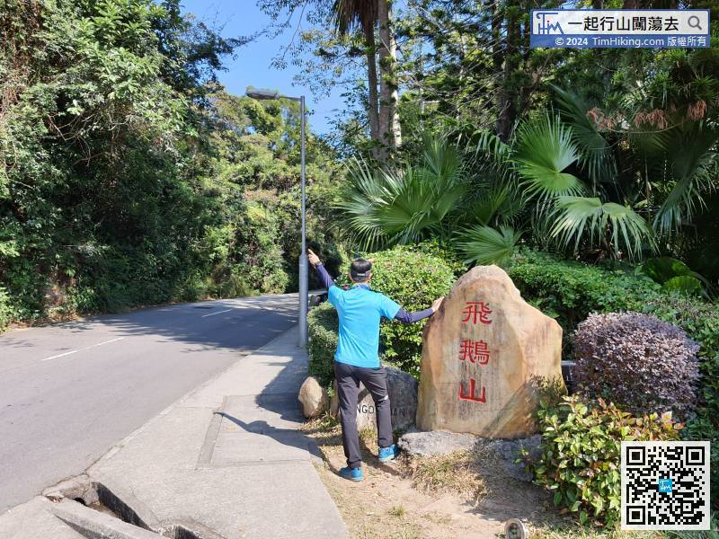
 5︰On the side of the road, will see an old stone carved with Kowloon Peak. Go straight is the way to the Kowloon Peak Viewing Point.
 11︰In the end,
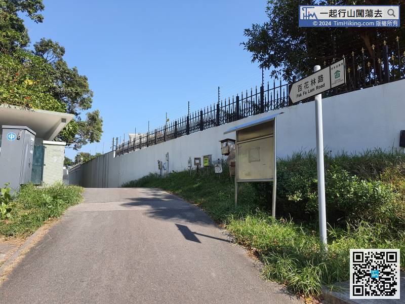
Follow and leave Fei Ngo Shan Road, enter Pak Fa Lam Road,
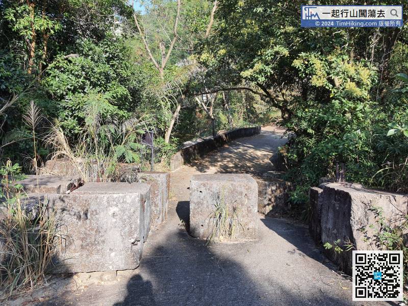
24︰cross the catchwater.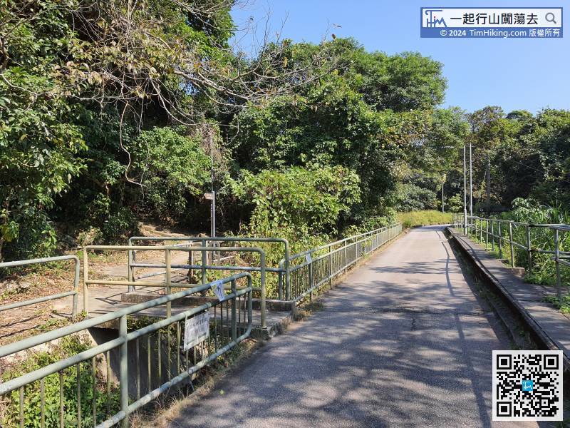
On the second catchwater bridge erected with the Wilson Trail brand,
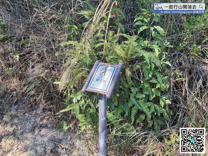
When coming to the distance post W038, the infinite steps almost halfway,
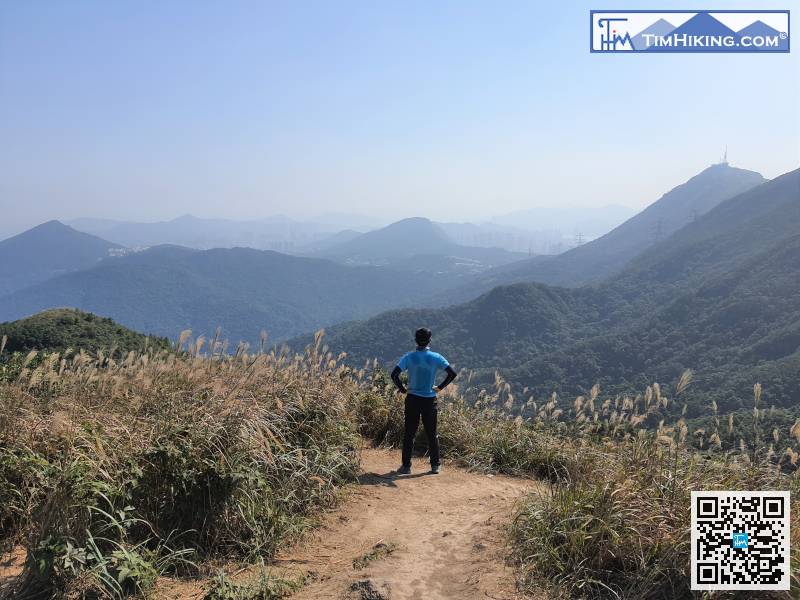
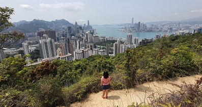
46︰Tung Yeung Shan has a 360-degree view. In autumn, the peak is full of miscanthus.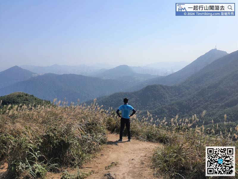
Tung Yeung Shan has a 360-degree view. In autumn, the peak is full of miscanthus.
61︰After about 10 minutes, will come to the intersection to Kwun Yam Shan Village.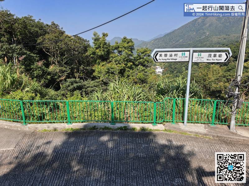
At the intersection, turn right to Mau Tso Ngam, where there are still several families living;
73︰in high slope,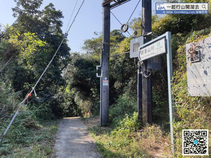


