


 Recommend YouTube


| View : |  | ||
| Difficulty : |  | ||
| Path : | |||
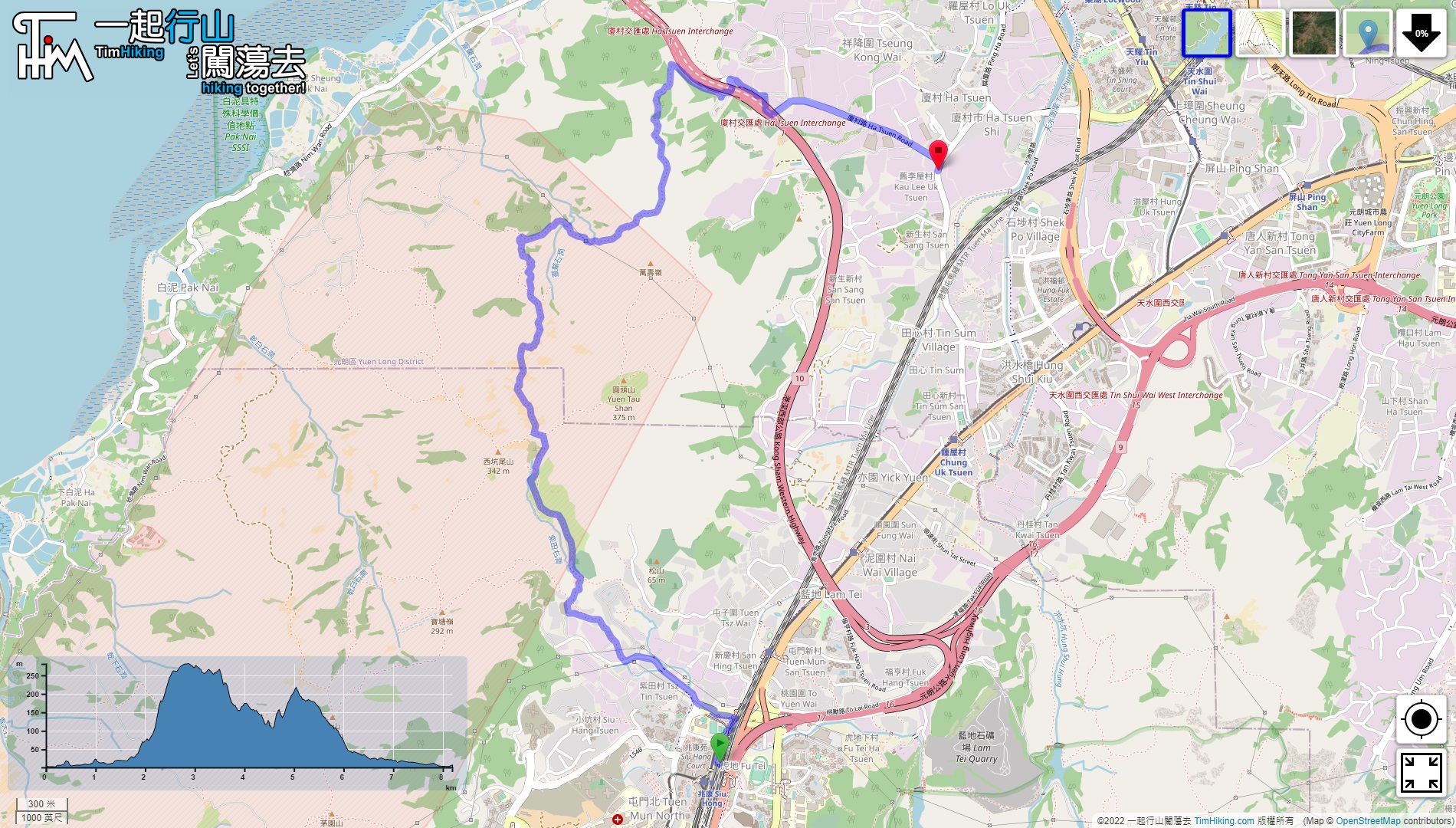
| Length : | 8.2km | ||
| Time : | 5hours | ||
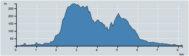 | |
| Ascent : 502m | Descent : 496m |
| Max : 281m | Min : 1m |
| (The accuracy of elevation is +/-30m) | |


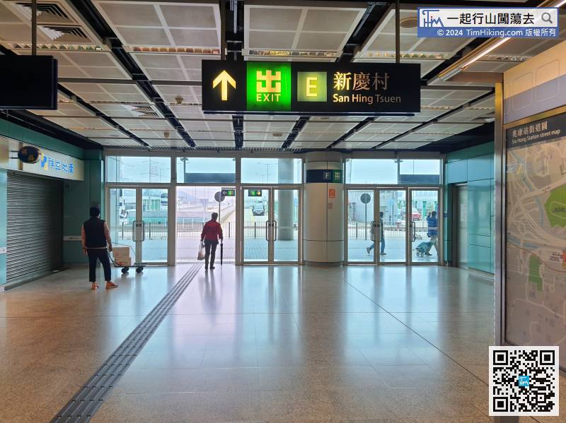
First, take the West Rail Line to Siu Hong Station, leave from Exit E,
 24︰turn left immediately and walk into the dirt trail.
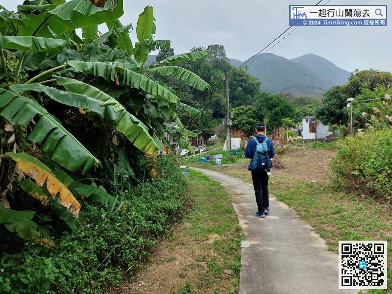 47︰Next, look at the small hills and walk over,
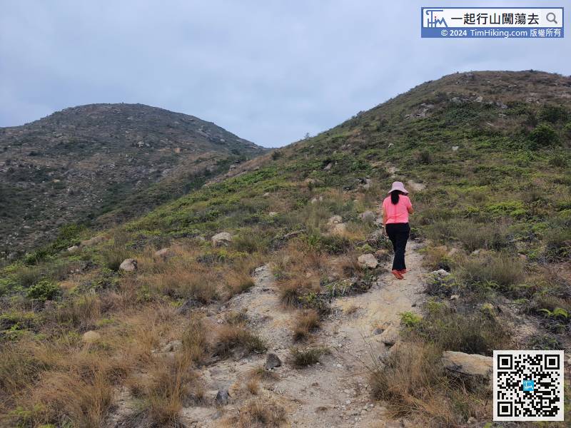
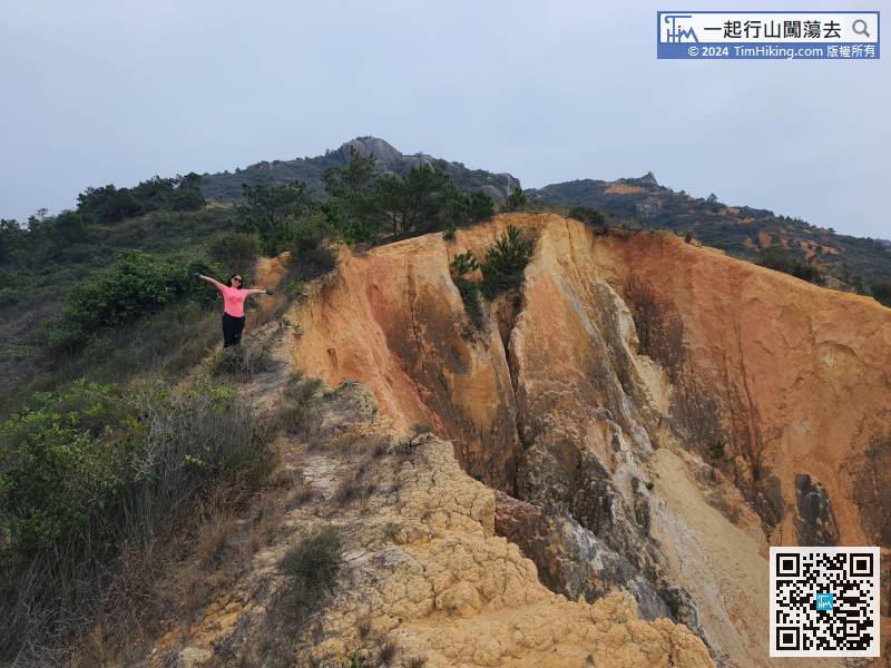
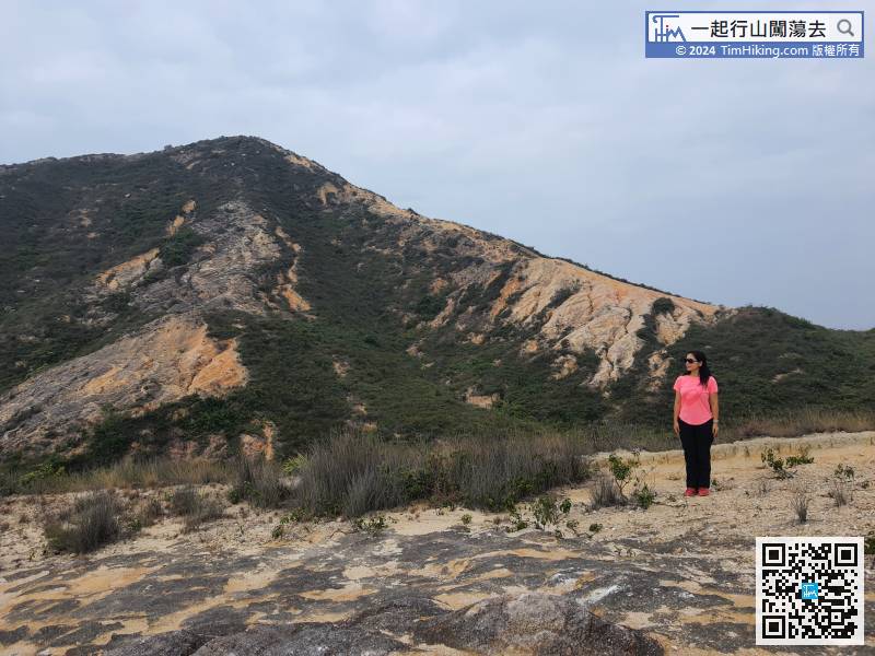
About half an hour after climbing, already approach the top of the first small hill.
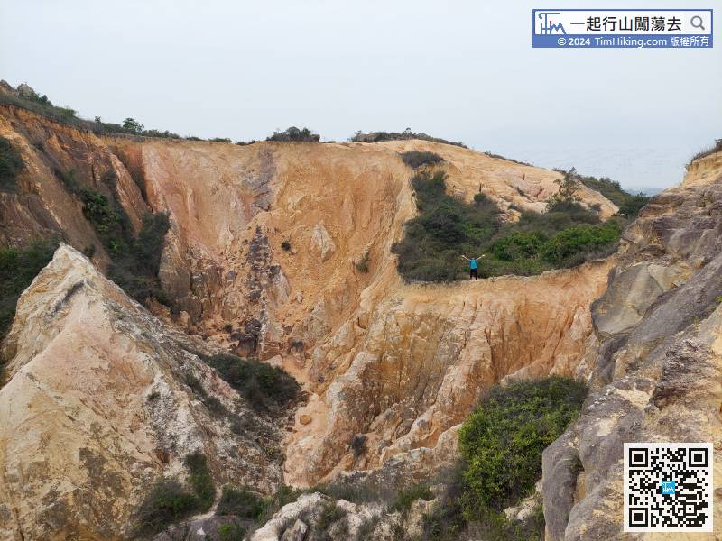
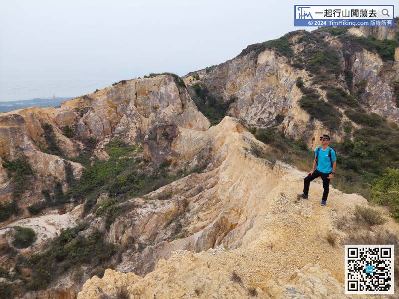
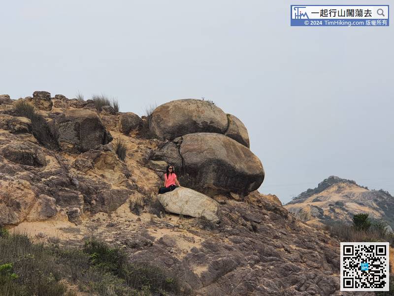
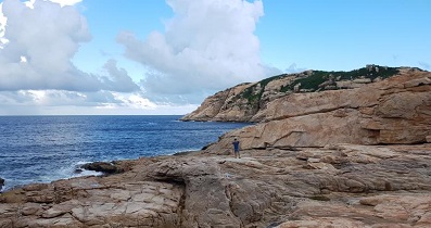
57︰Everywhere is full of floating sand and gravel,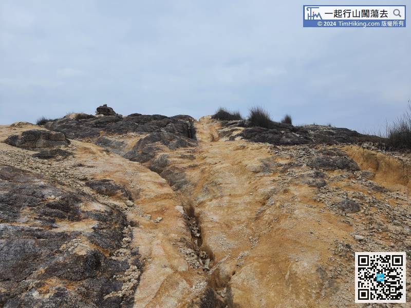 67︰Looking at the top of the valley on the other side, can see another rock about to fall into the valley with a look like an eagle's head,
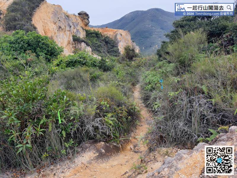
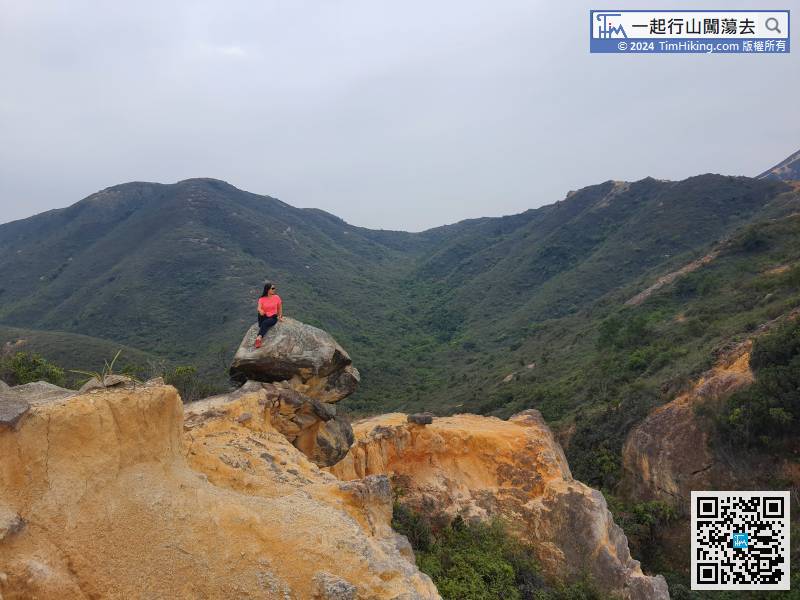
When coming to the bush, follow the direction of the ribbon.
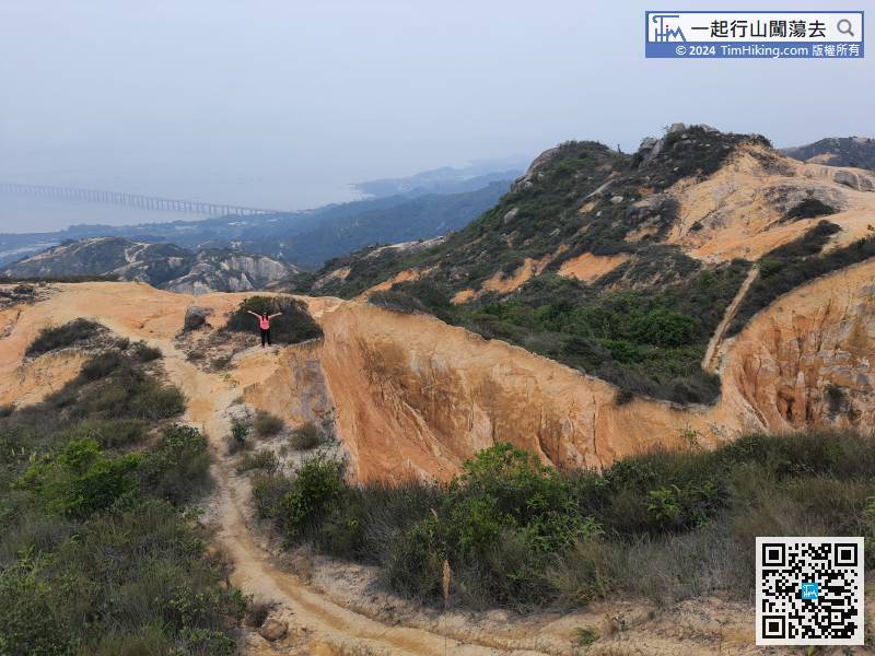
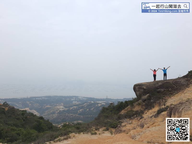
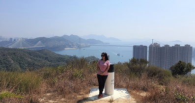
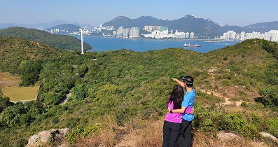
89︰Hikers can also see the Shenzhen Bay Highway Bridge closely.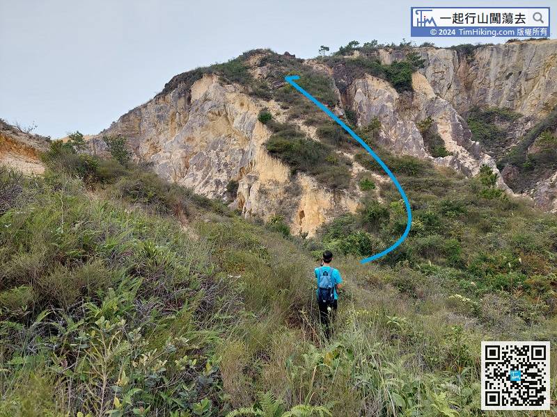 96︰that is Ling Ngo Stream.
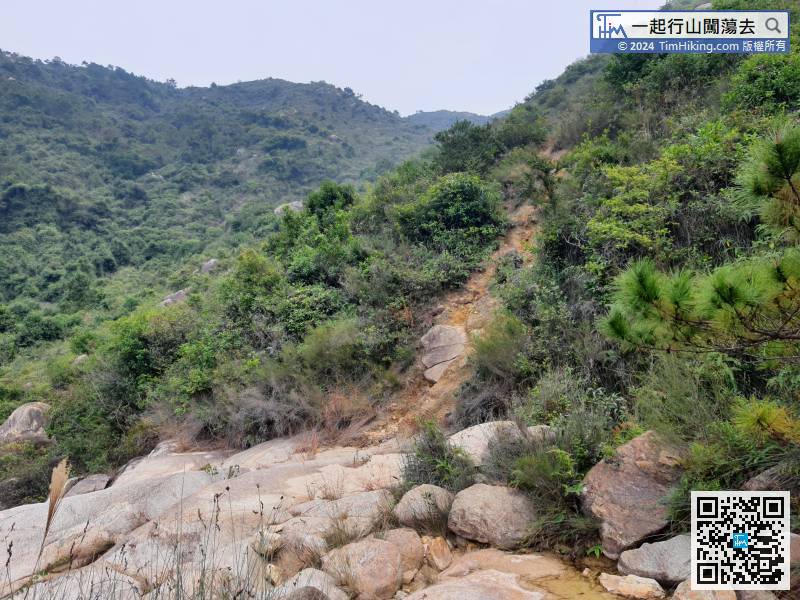 112︰The trail of the descending mountain is obvious.
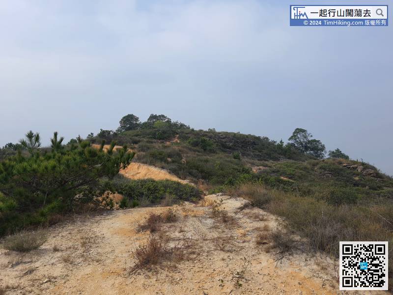
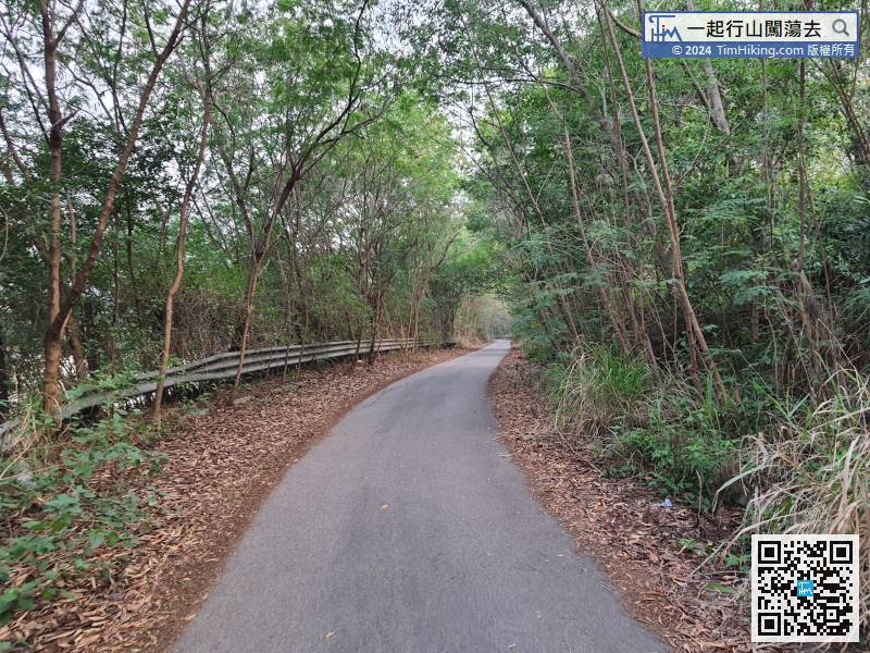
Finally, hikers have to travel a long way to the bus stop,


