


 Recommend YouTube


| View : |  | ||
| Difficulty : |  | ||
| Path : | |||
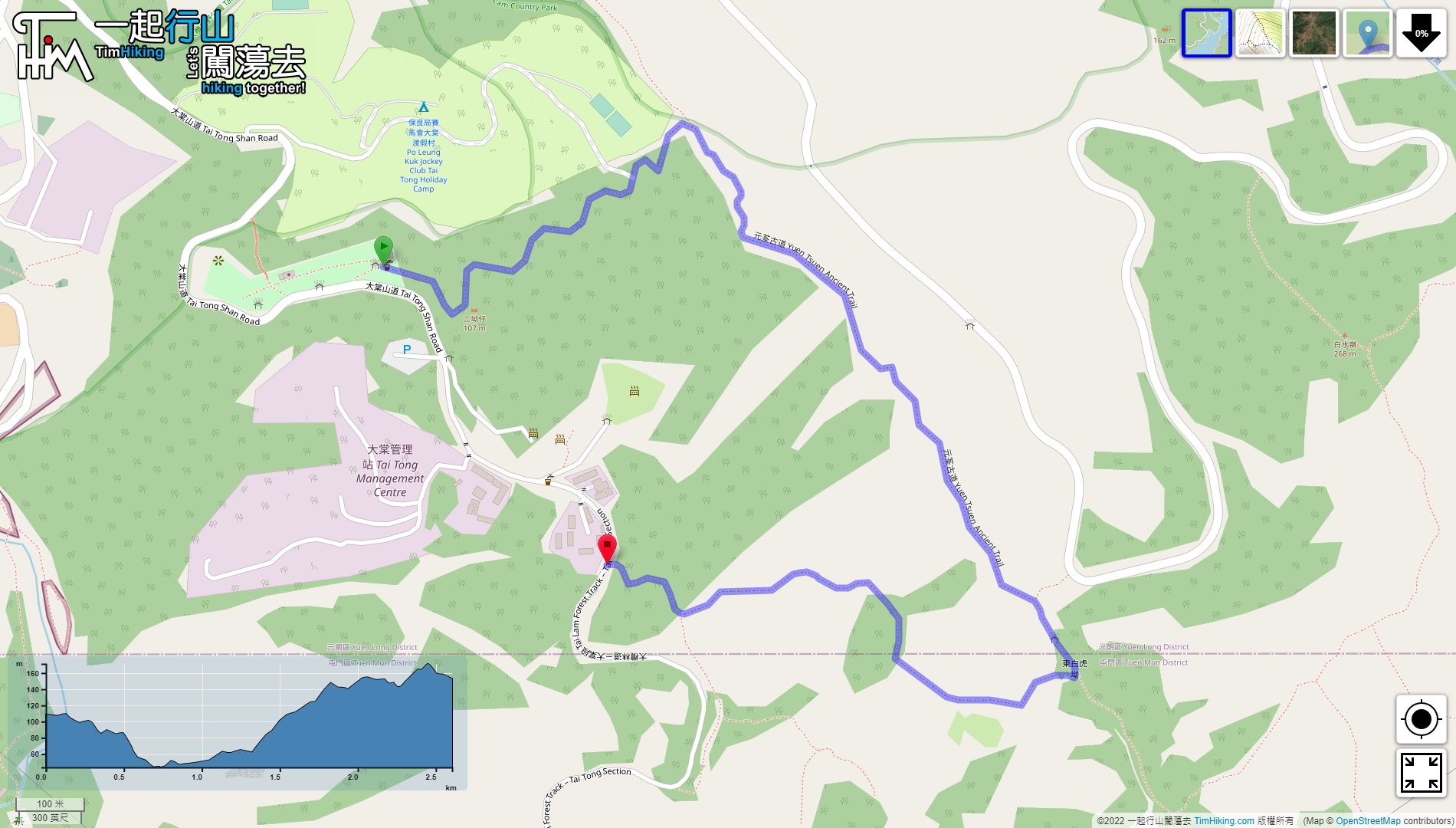
| Length : | 2.7km | ||
| Time : | 1hours | ||
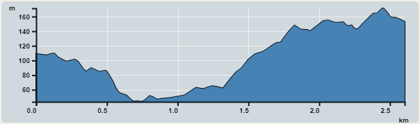 | |
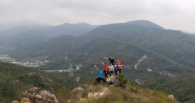
| Ascent : 167m | Descent : 127m |
| Max : 171m | Min : 44m |
| (The accuracy of elevation is +/-30m) | |


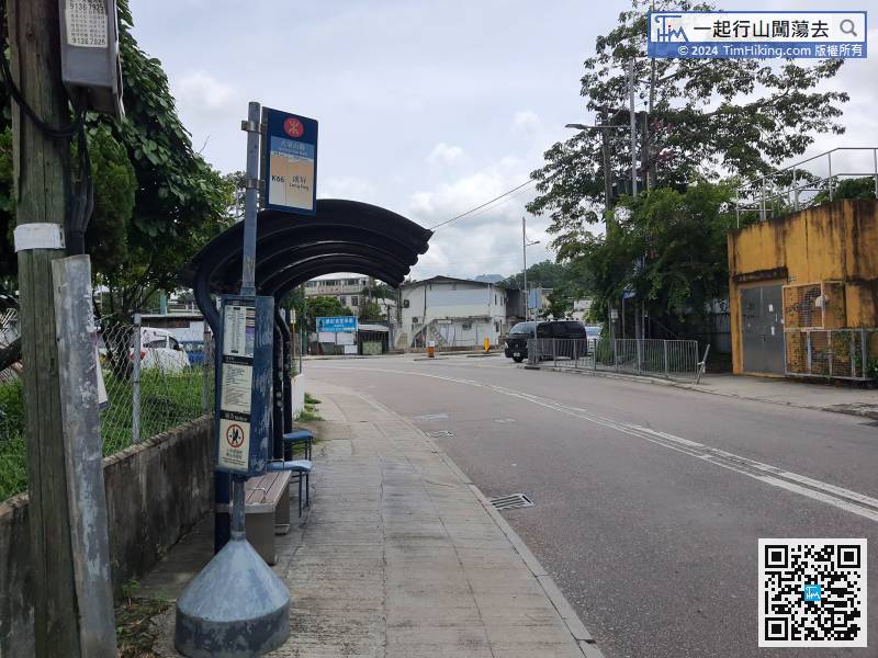
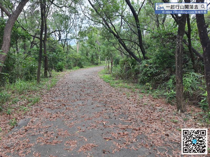
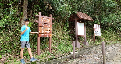
First, to Tai Tong, take the bus K66 and get off at Tai Tong Mountain Road.
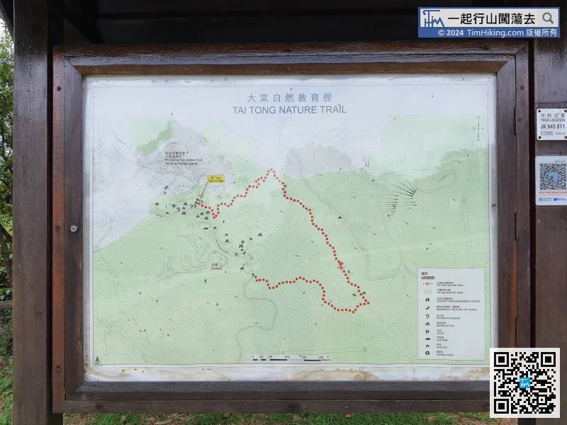
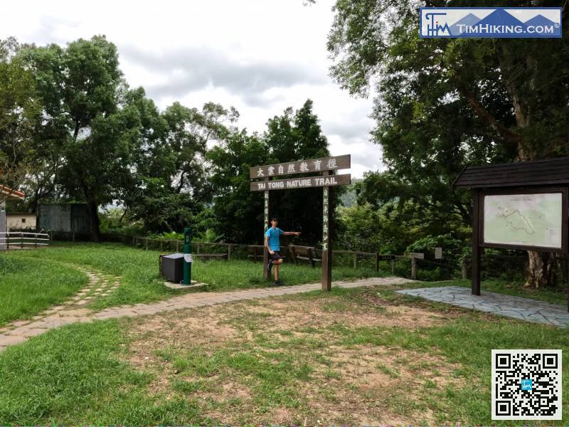
The metal sign is very obvious and has been seen from a long distance, but it is very reflective at close range, which makes it difficult to read.
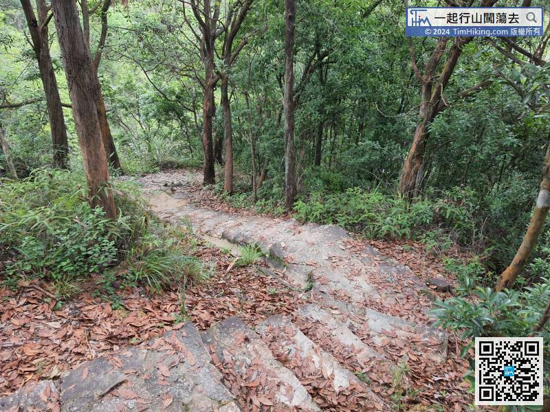
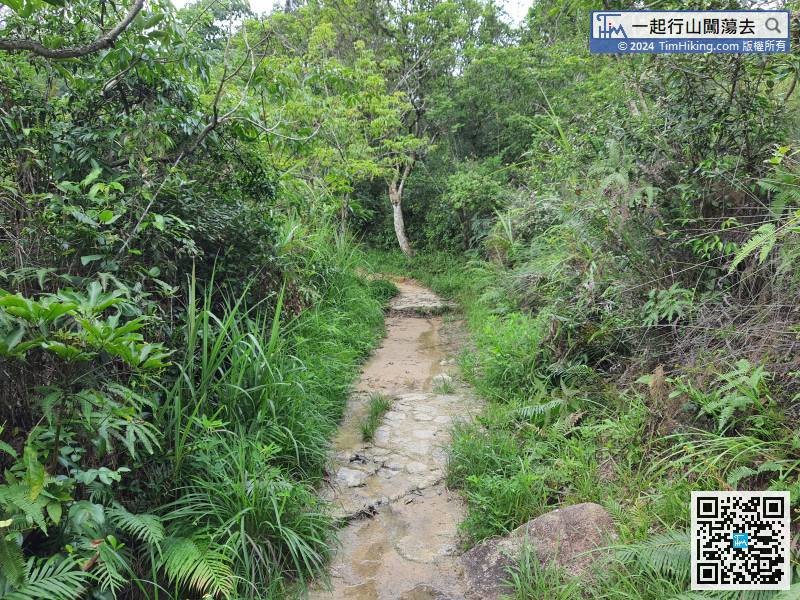
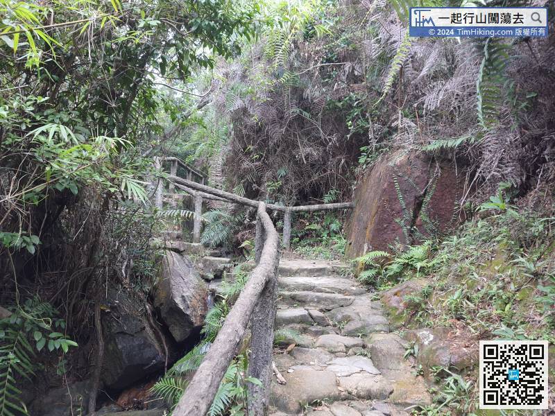
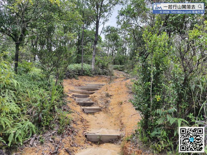
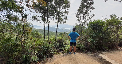
The mountain trail along the road seems to be an Erosion phenomenon. The mountain trail gradually turned into a deep ditch due to soil erosion.
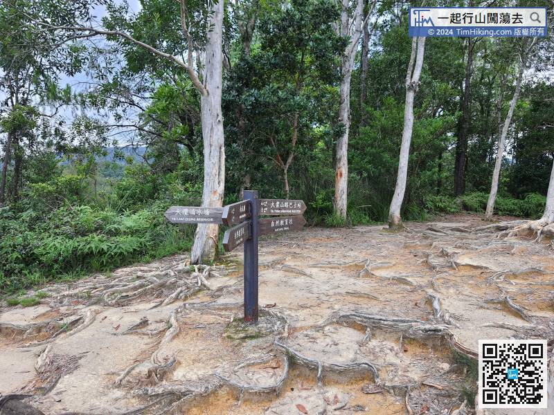
Come to the last bifurcation and continue to walk along the Nature Trail, which is the direction of Tai Tong Shan Road Bus Stop.

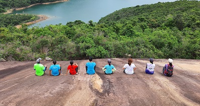
The leaving direction is also going right, and return to the starting point of Tai Tong Nature Trail. It is about 2.2km away from Tai Tong Shan Road Bus Stop. It takes about 45 minutes according to the official listed, and it takes 30 minutes for fast walking.


