


 Recommend YouTube


| View : |  | ||
| Difficulty : |  | ||
| Path : | |||
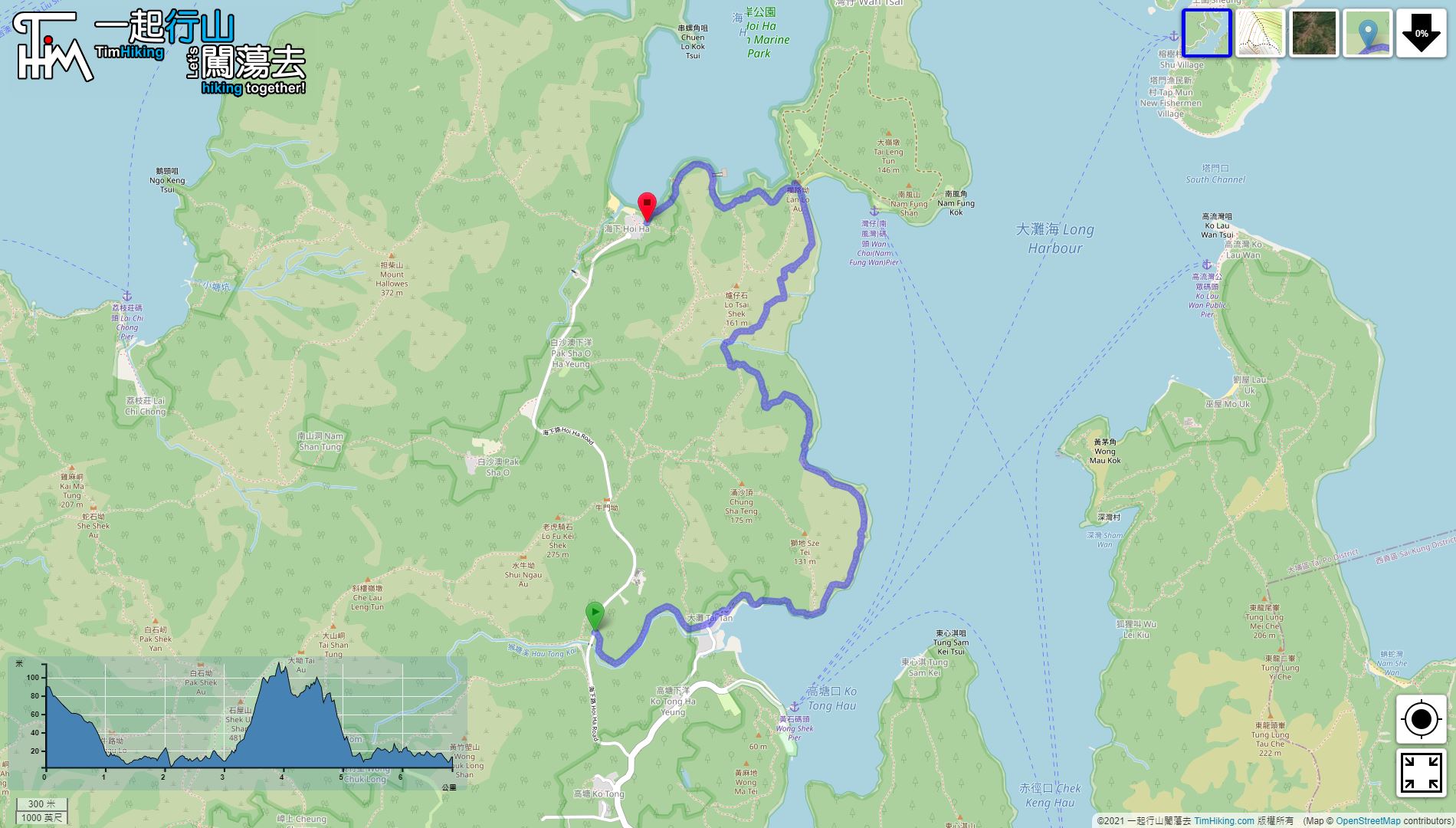
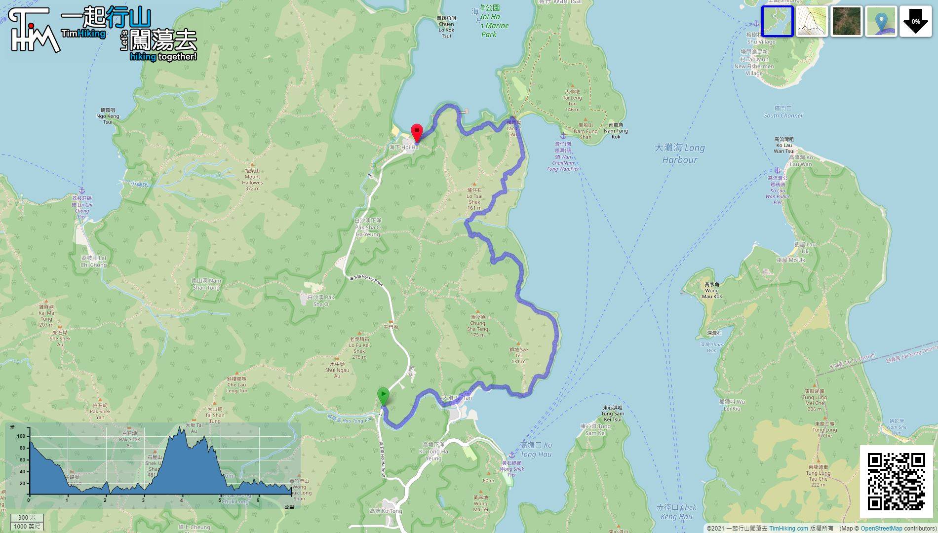
| Length : | 6.9km | ||
| Time : | 2¾hours | ||
| 【 Hau Tong Kai Campsite 】 | |||
| Toilet : | Flushing Toilet | ||
| Water : | Tap | ||
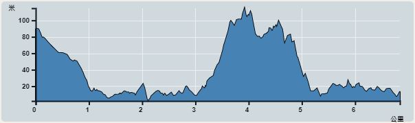 | |
| Ascent : 313m | Descent : 387m |
| Max : 115m | Min : 2m |
| (The accuracy of elevation is +/-30m) | |


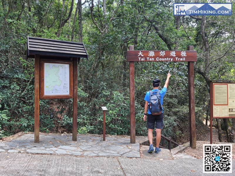
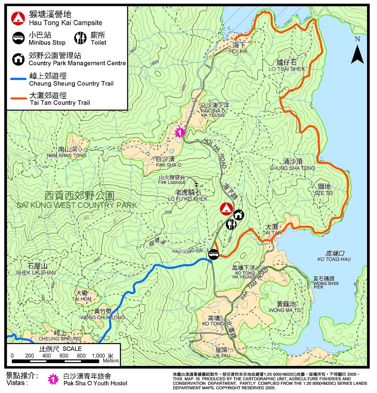
 1︰The starting point is at Hau Tong Kai. You can take the 7 minibus from Sai Kung and get off at Hau Tong Kai.
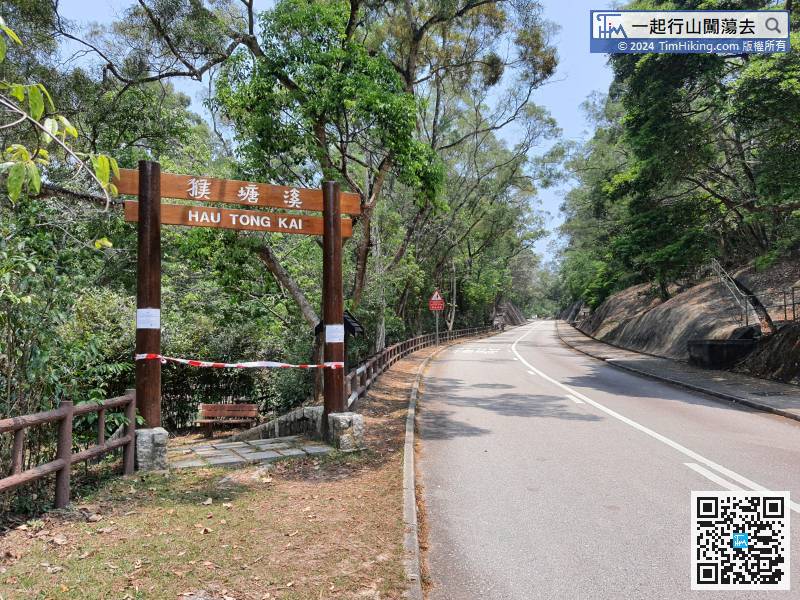
The starting point is at Hau Tong Kai. You can take the 7 minibus from Sai Kung and get off at Hau Tong Kai.
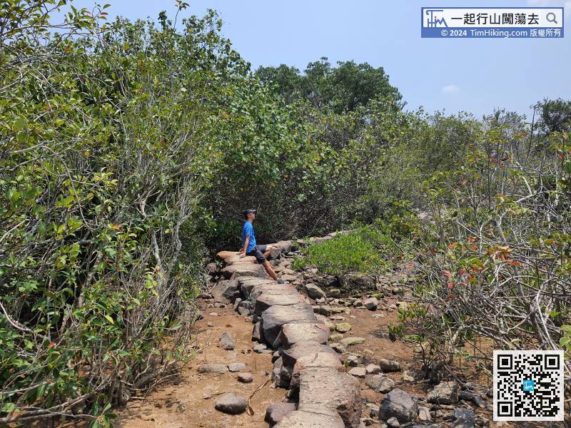
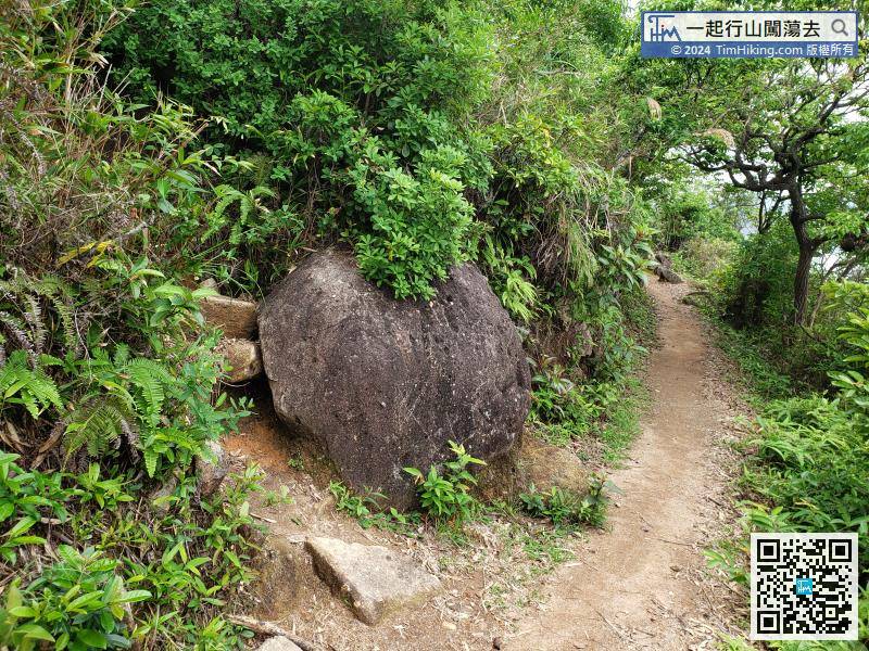
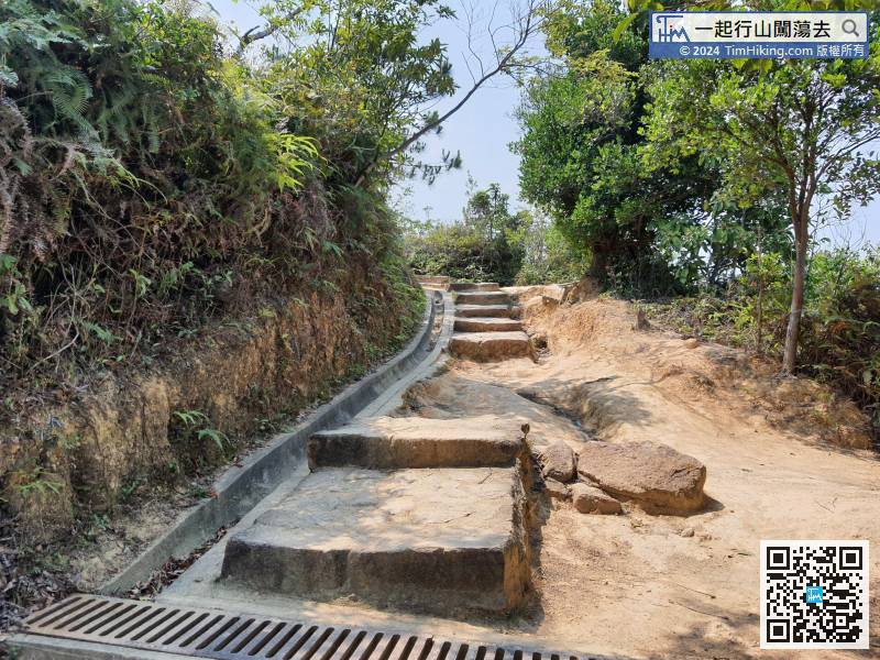
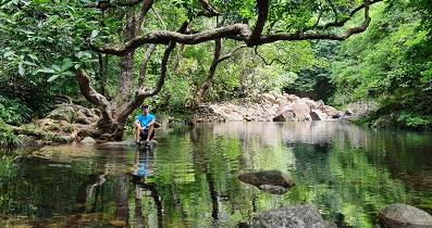
12︰The trail is well-travelled.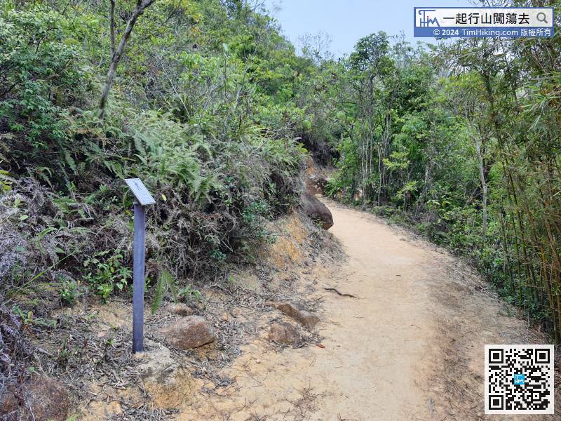 23︰In the blink of an eye, entering the mangrove forest.
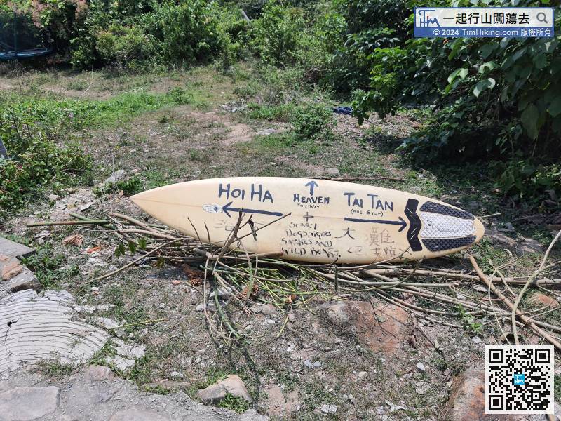
There is an obvious bifurcation in the middle of the road, but there is no sign.
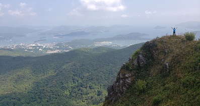
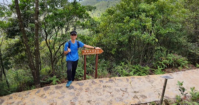
39︰and the front island is Grass Island.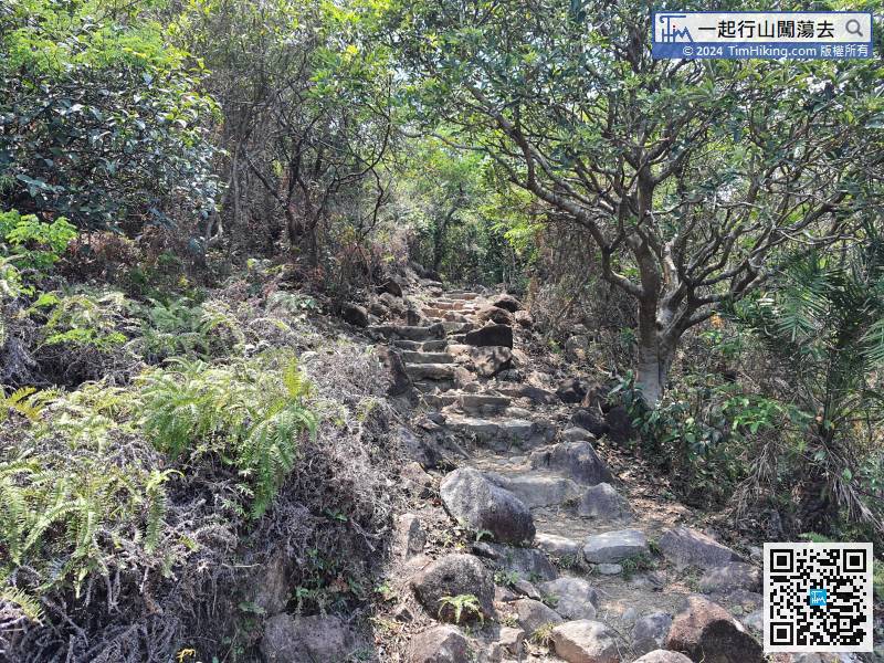 46︰is the last uphill slope.
 55︰Just follow the signs for the country trail.
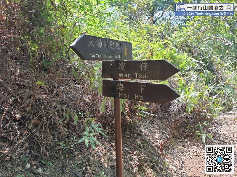
At this bifurcation, head towards Hoi Ha. Don't go straight along the barren trail. It's towards Pak Sha O Ha Yeung.
61︰Lan Lo Au is at the bifurcation.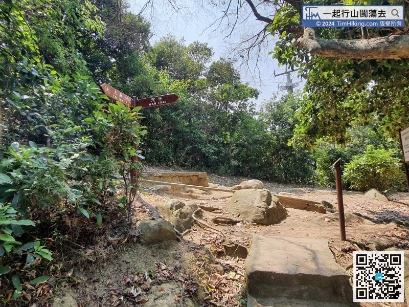
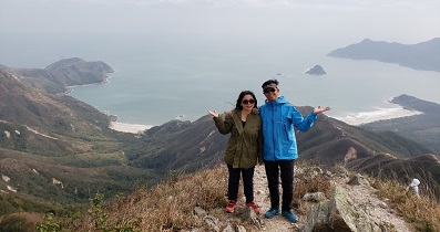
The trail at the end is well built. The reason is that it is near campsite and there are more tourists.
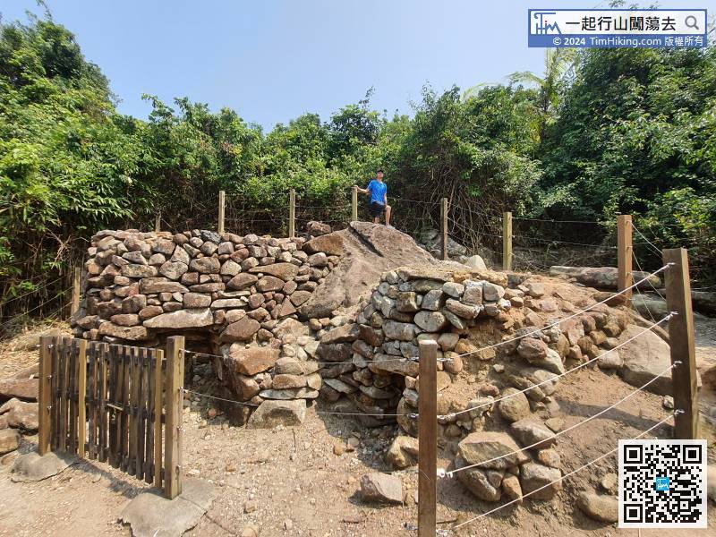
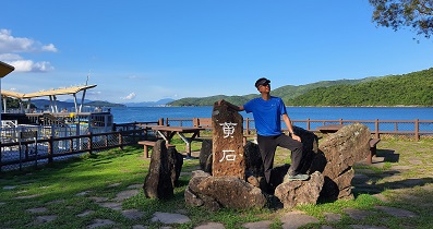
77︰and come to the Sai Kung Hoi Ha Lime Kilns at the end of the route. 
Official Map


